Leupp /luːp/ LOOP (Navajo: Tsiizizii) is a census-designated place (CDP) in Coconino County, Arizona, on the Navajo Nation, United States. The population was 951 at the 2010 census.
In 1902 an Indian boarding school was constructed here, administered by the Bureau of Indian Affairs. It had been closed before the US entry into World War II. In 1942 the facility was converted for use as the Leupp Isolation Center, designed to detain Japanese and Japanese-American internees from the several larger internment camps established by the War Relocation Authority to hold citizens and immigrants from the West Coast. They were sent here if characterized as troublemakers; some were men trying to regain their rights as American citizens.
| Name: | Leupp CDP |
|---|---|
| LSAD Code: | 57 |
| LSAD Description: | CDP (suffix) |
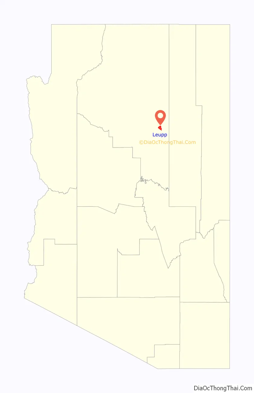
| State: | Arizona |
| County: | Coconino County |
| Elevation: | 4,763 ft (1,452 m) |
| Total Area: | 13.56 sq mi (35.12 km²) |
| Land Area: | 13.55 sq mi (35.10 km²) |
| Water Area: | 0.01 sq mi (0.02 km²) |
| Total Population: | 934 |
| Population Density: | 68.91/sq mi (26.61/km²) |
| ZIP code: | 86035 |
| Area code: | 928 |
| FIPS code: | 0440630 |
| GNISfeature ID: | 0024010 |
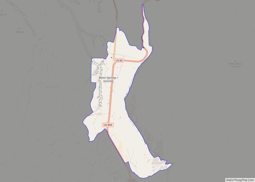
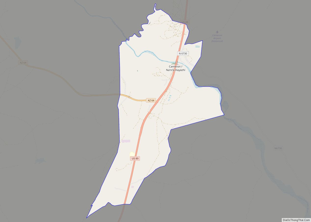
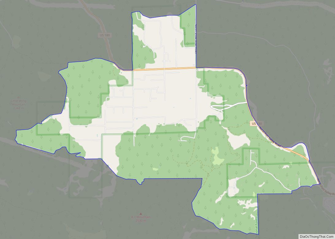
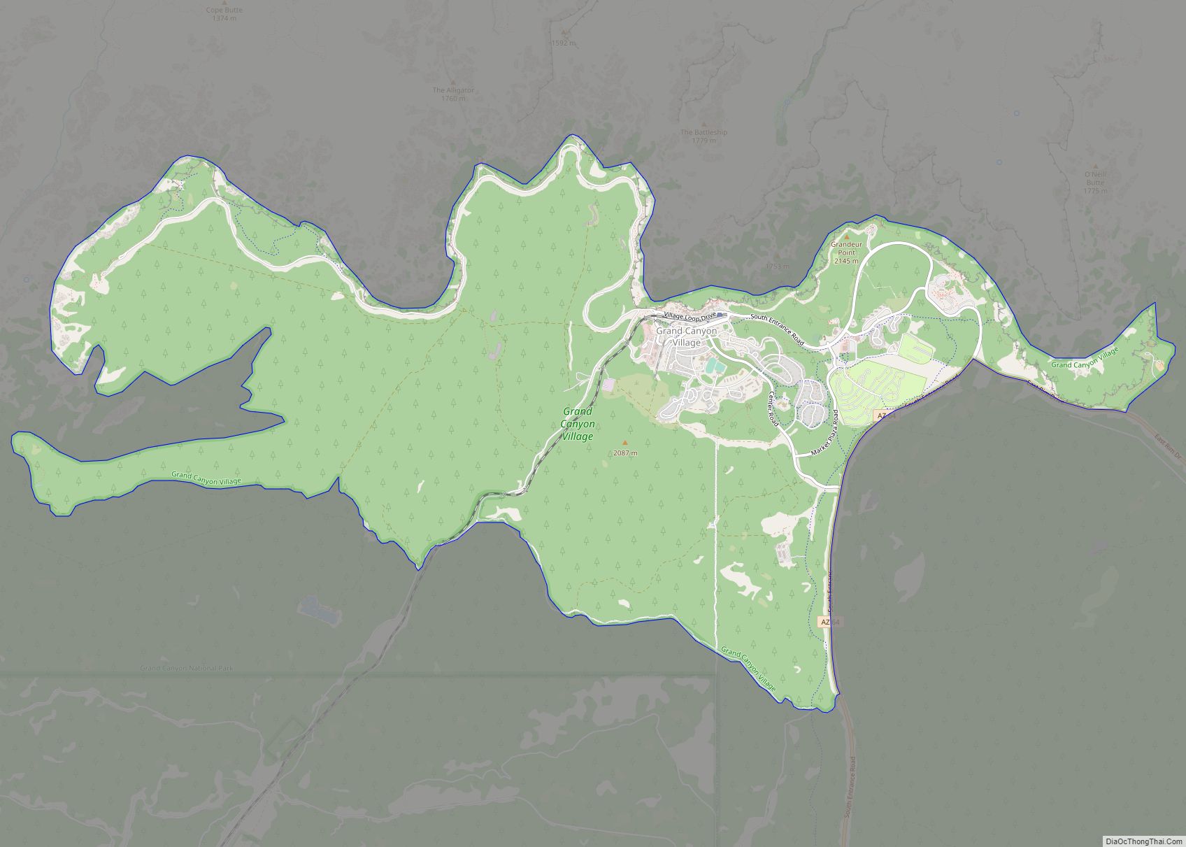
Online Interactive Map
Click on ![]() to view map in "full screen" mode.
to view map in "full screen" mode.
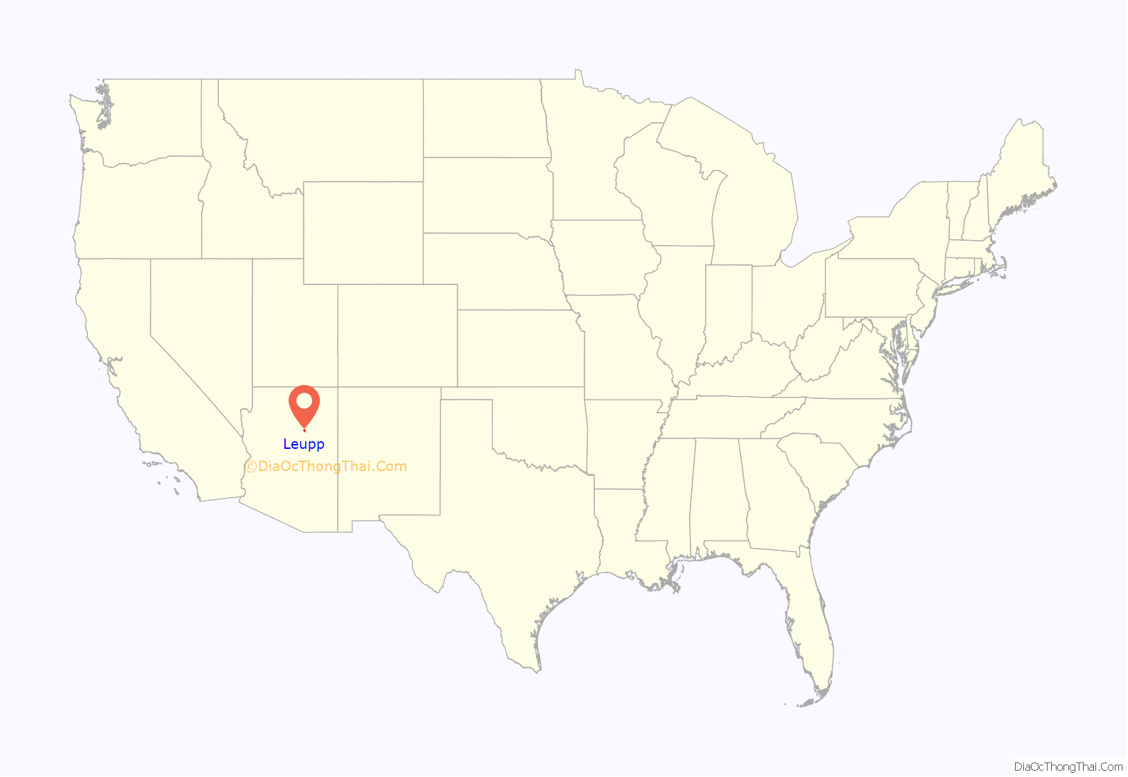
Leupp location map. Where is Leupp CDP?
History
The Navajo and their ancestors occupied this area for thousands of years. In 1868 they were forced by the United States to agree to a reservation, which was within the New Mexico Territory until 1912. After Arizona and New Mexico were admitted as states, the reservation extended across their common border.
In 1902, the Bureau of Indian Affairs established an Indian boarding school in Leupp, to serve Navajo and other Native American children in the large region. The population was spread out too far for most children to be able to commute to the school, so they lived as boarders at the BIA school. Soon afterward, the school was moved to a new location known as Old Leupp. Old Leupp is a few miles to the southeast of Leupp.
In 1907, Leupp was designated by the Bureau of Indian Affairs as the headquarters of the Leupp Indian Land. The BIA had an office at Leupp. This was one of five Navajo Indian Lands that existed before 1936, when the nation reorganized under a constitutional government.
- Leupp Trading Post
In 1910, John Walker built the Leupp Trading Post from quarried sandstone at the newly established community now called “Old Leupp”. The BIA had begun building its agency headquarters there for this part of the Navajo lands. By 1912, Walker sold the post to an unknown party.
In 1929 Stanton K. Borum and his wife Ida Mae became owners of the Leupp Trading Post. They added to the original structure, creating a two-story structure: the Trading Post was on the ground floor and their residence on the second floor.
In 1944 William E. and Lucile McGee, who had been in the trading post business since 1923, purchased Leupp Trading Post from Ida Mae Borum. After William and Lucile retired in 1968, their son, Ralph, and his wife, Ellen, took over the business, running the Leupp Trading Post until 1982.
In the late 20th century, the trading post was closed. The building was dismantled so that its materials could be used elsewhere. Nothing other than the foundation remains.
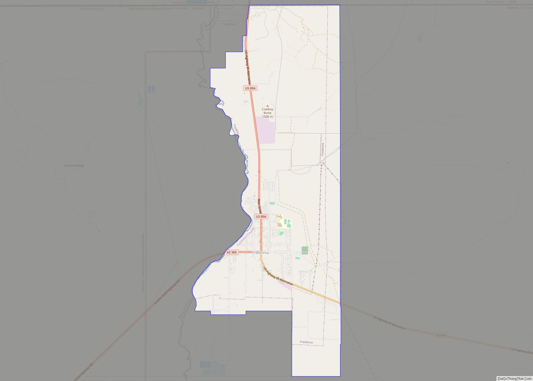
Leupp Road Map
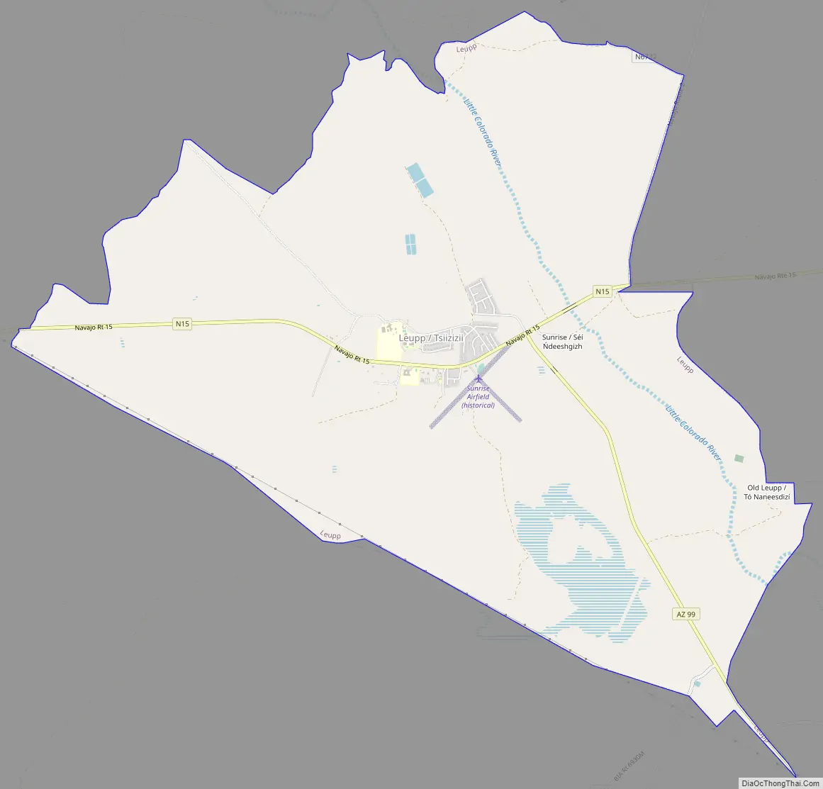
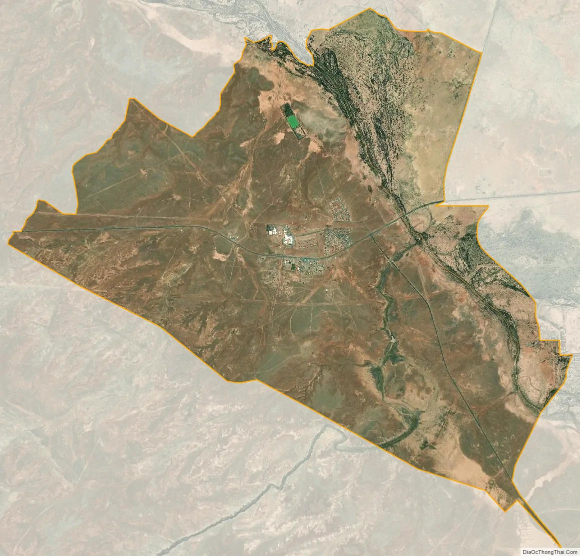
Leupp city Satellite Map
Geography
Leupp is located at 35°17′51″N 111°0′20″W / 35.29750°N 111.00556°W / 35.29750; -111.00556 (35.297522, -111.005673).
According to the United States Census Bureau, the CDP has a total area of 13.6 square miles (35.1 km), of which 0.01 square miles (0.02 km), or 0.05%, is water.
It is about 45 miles (72 km) southeast of Flagstaff.
Climate
According to the Köppen Climate Classification system, Leupp has a semi-arid climate, abbreviated “BSk” on climate maps.
See also
Map of Arizona State and its subdivision: Map of other states:- Alabama
- Alaska
- Arizona
- Arkansas
- California
- Colorado
- Connecticut
- Delaware
- District of Columbia
- Florida
- Georgia
- Hawaii
- Idaho
- Illinois
- Indiana
- Iowa
- Kansas
- Kentucky
- Louisiana
- Maine
- Maryland
- Massachusetts
- Michigan
- Minnesota
- Mississippi
- Missouri
- Montana
- Nebraska
- Nevada
- New Hampshire
- New Jersey
- New Mexico
- New York
- North Carolina
- North Dakota
- Ohio
- Oklahoma
- Oregon
- Pennsylvania
- Rhode Island
- South Carolina
- South Dakota
- Tennessee
- Texas
- Utah
- Vermont
- Virginia
- Washington
- West Virginia
- Wisconsin
- Wyoming