Linden is an unincorporated community located in Navajo County, Arizona, United States, just west of the city of Show Low. It is situated atop the Mogollon Rim at an elevation of over 6,000 feet. The community was evacuated in June 2002 due to the Rodeo-Chediski fire, which eventually consumed part of Linden, destroying a number of homes.
Linden is generally made up of larger ranches and rural subdivisions, including Cheney Ranch and Timberland Acres. As an unincorporated community with few businesses, many Linden residents make their livings in or around the city of Show Low.
Linden’s former fire district has been merged into the Timber Mesa Fire and Medical District, along with those of Show Low and Lakeside. Law enforcement is performed by Navajo County Sheriff’s Office and Arizona Department of Public Safety.
| Name: | Linden CDP |
|---|---|
| LSAD Code: | 57 |
| LSAD Description: | CDP (suffix) |
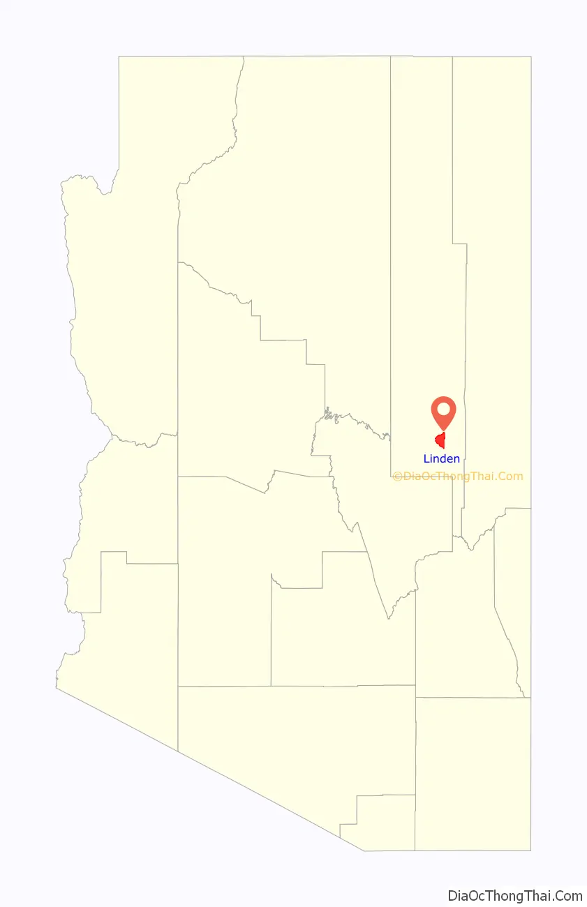
| State: | Arizona |
| County: | Navajo County |
| Elevation: | 6,280 ft (1,914 m) |
| Total Area: | 30.21 sq mi (78.24 km²) |
| Land Area: | 30.20 sq mi (78.22 km²) |
| Water Area: | 0.01 sq mi (0.01 km²) |
| Total Population: | 2,597 |
| Population Density: | 91.38/sq mi (35.28/km²) |
| ZIP code: | 85901 |
| Area code: | 928 |
| FIPS code: | 0441085 |
Online Interactive Map
Click on ![]() to view map in "full screen" mode.
to view map in "full screen" mode.
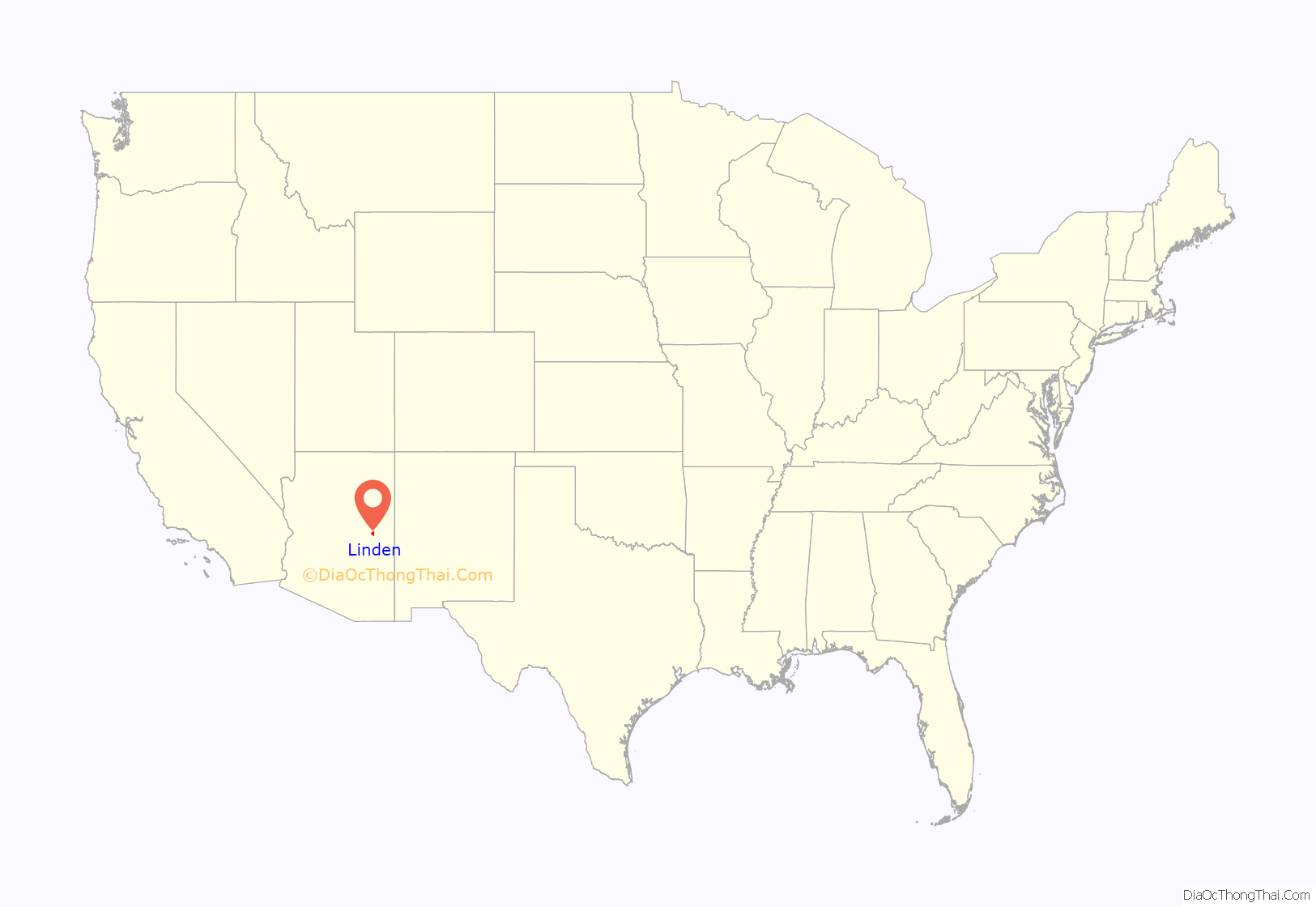
Linden location map. Where is Linden CDP?
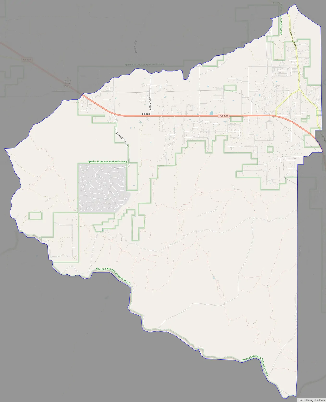
Linden Road Map
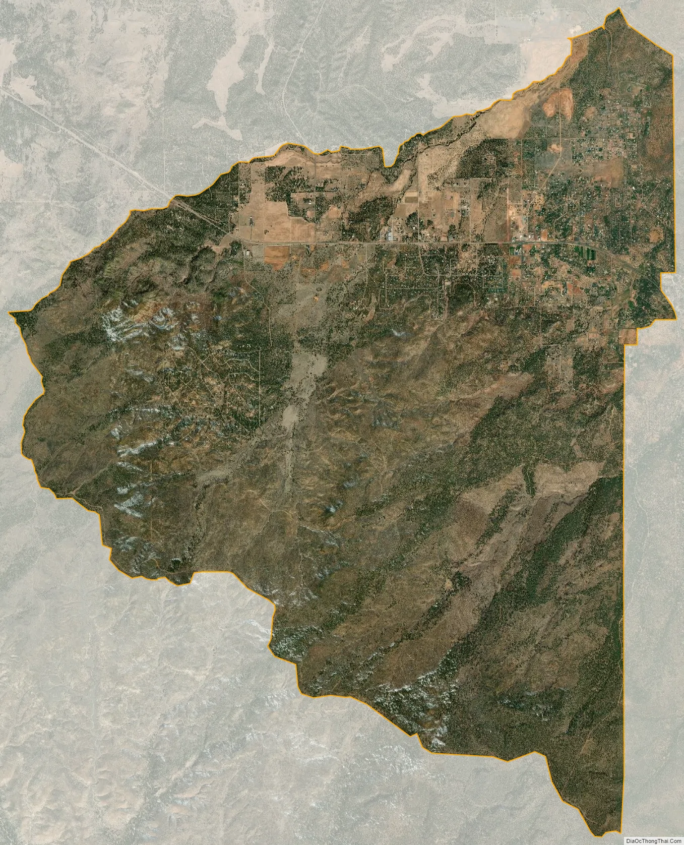
Linden city Satellite Map
Geography
State Route 260 runs through Linden and is the main vein of the community. Linden is characterized by open fields and gently rolling hills. Chief among the flora are Ponderosa Pine, Pinyon pine, Gambel oak, and numerous Shaggy bark and Alligator Junipers.
See also
Map of Arizona State and its subdivision: Map of other states:- Alabama
- Alaska
- Arizona
- Arkansas
- California
- Colorado
- Connecticut
- Delaware
- District of Columbia
- Florida
- Georgia
- Hawaii
- Idaho
- Illinois
- Indiana
- Iowa
- Kansas
- Kentucky
- Louisiana
- Maine
- Maryland
- Massachusetts
- Michigan
- Minnesota
- Mississippi
- Missouri
- Montana
- Nebraska
- Nevada
- New Hampshire
- New Jersey
- New Mexico
- New York
- North Carolina
- North Dakota
- Ohio
- Oklahoma
- Oregon
- Pennsylvania
- Rhode Island
- South Carolina
- South Dakota
- Tennessee
- Texas
- Utah
- Vermont
- Virginia
- Washington
- West Virginia
- Wisconsin
- Wyoming