McNary (Western Apache: Chaabiitú) is a census-designated place (CDP) in Apache and Navajo counties in the U.S. state of Arizona, on the Fort Apache Indian Reservation. The population was 528 at the 2010 census. It is a 30-minute drive from Show Low and a 10-minute drive from Pinetop-Lakeside.
| Name: | McNary CDP |
|---|---|
| LSAD Code: | 57 |
| LSAD Description: | CDP (suffix) |
| State: | Arizona |
| County: | Apache County, Navajo County |
| Elevation: | 7,316 ft (2,230 m) |
| Total Area: | 5.75 sq mi (14.88 km²) |
| Land Area: | 5.67 sq mi (14.69 km²) |
| Water Area: | 0.07 sq mi (0.19 km²) |
| Total Population: | 484 |
| Population Density: | 85.33/sq mi (32.94/km²) |
| ZIP code: | 85930 |
| Area code: | 928 |
| FIPS code: | 0443430 |
| GNISfeature ID: | 31683 |
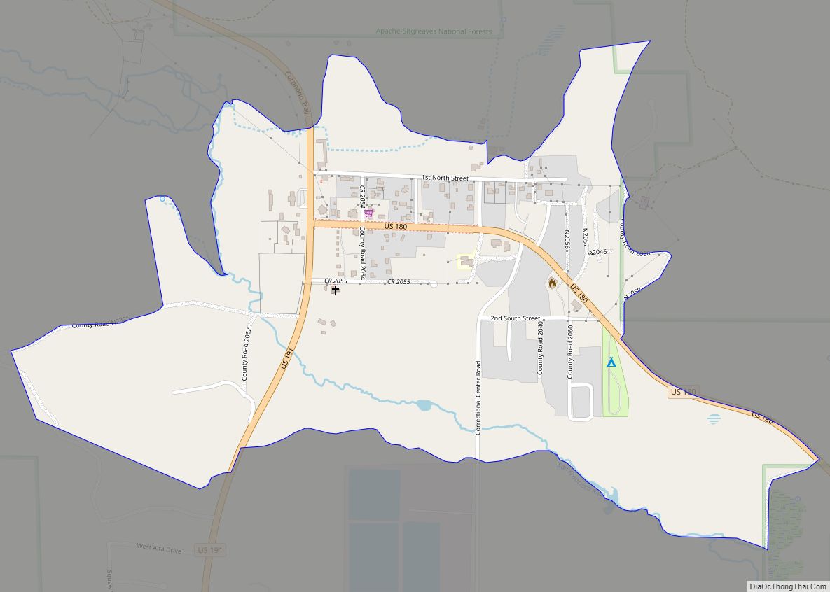
Online Interactive Map
Click on ![]() to view map in "full screen" mode.
to view map in "full screen" mode.
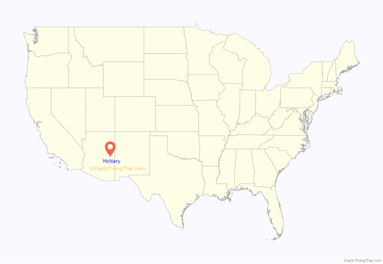
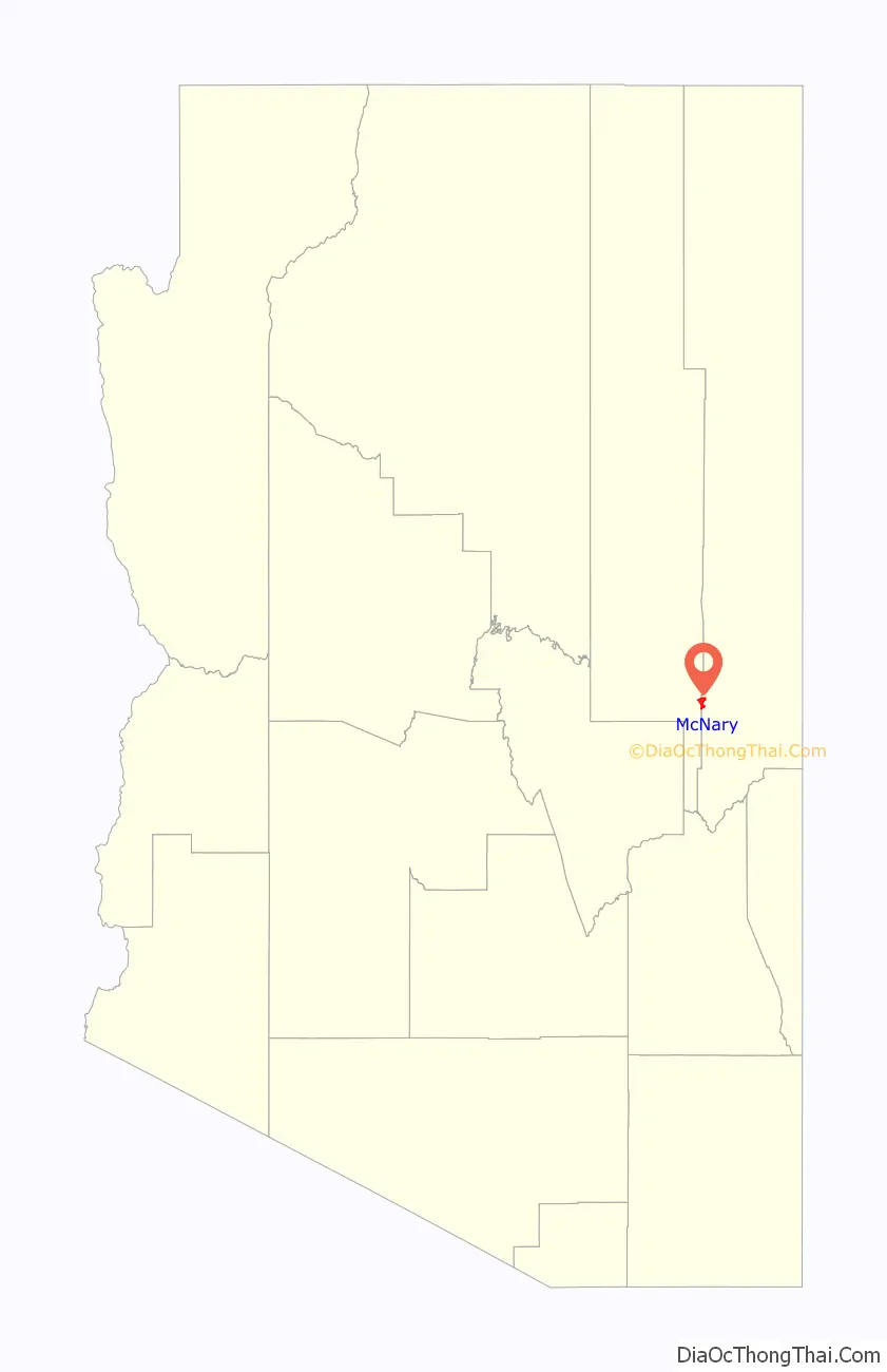
McNary location map. Where is McNary CDP?
History
The community was originally named Cluff Cienega by European Americans after Benjamin Cluff, a Mormon bishop who harvested hay here in 1879 and 1880 for use at Fort Apache. In 1919, the name was changed to Cooley in honor of Corydon Cooley (d. March 18, 1917), a famous hotelier of Show Low. In 1924, the Cady Lumber Company moved its entire operations, plus hundreds of employees, from McNary, Louisiana, to Cooley, Arizona. For marketing purposes, the company received permission from the federal government to rename Cooley as McNary. This company was later renamed Southwest Lumber Mills and then Southwest Forest Industries. The mill closed in 1979 after a fire.
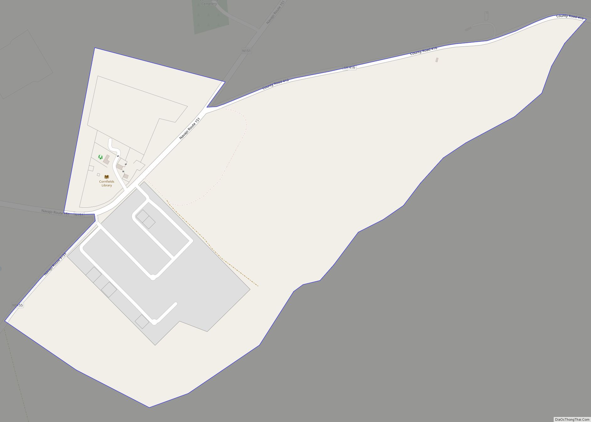
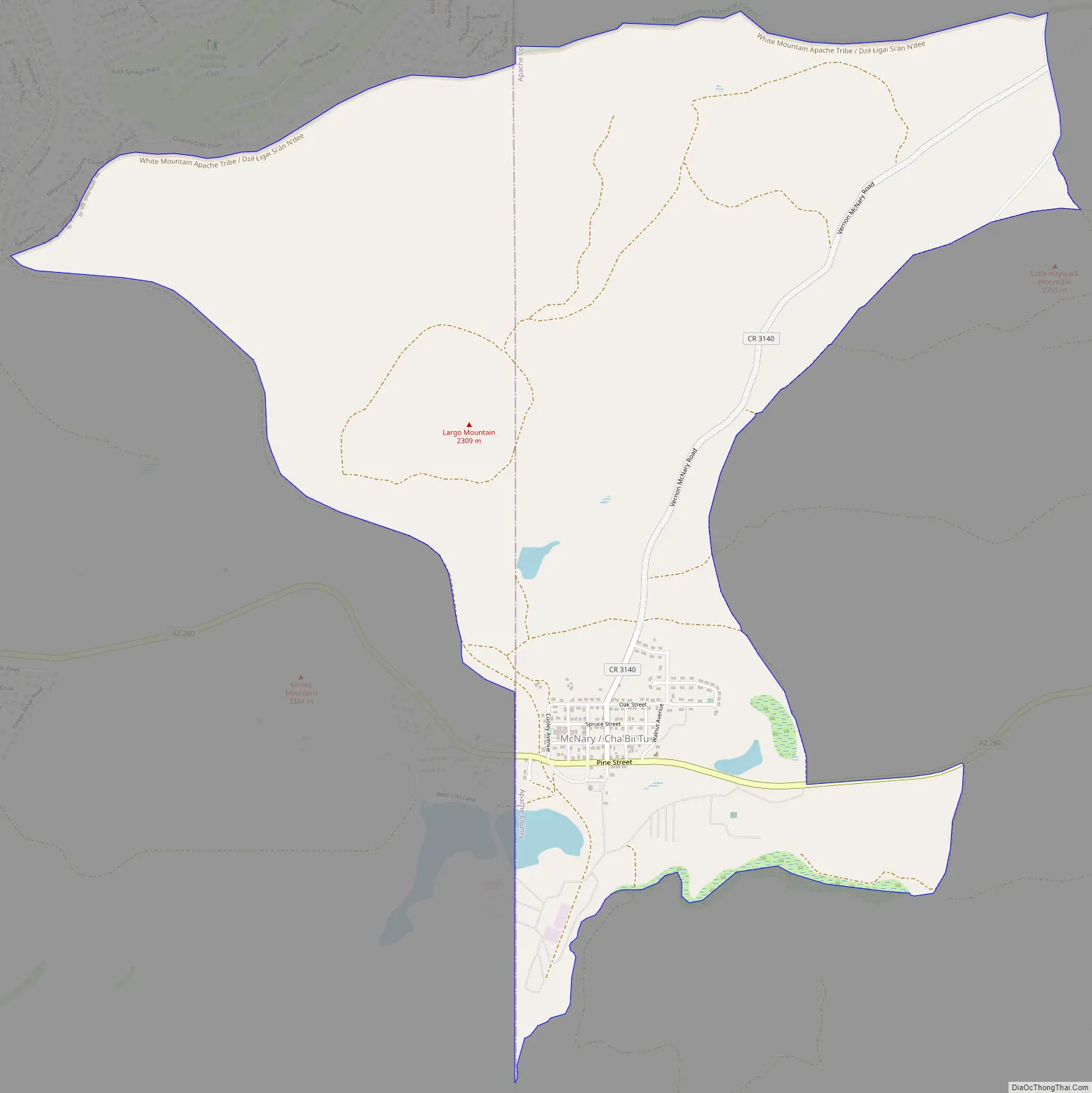
McNary Road Map
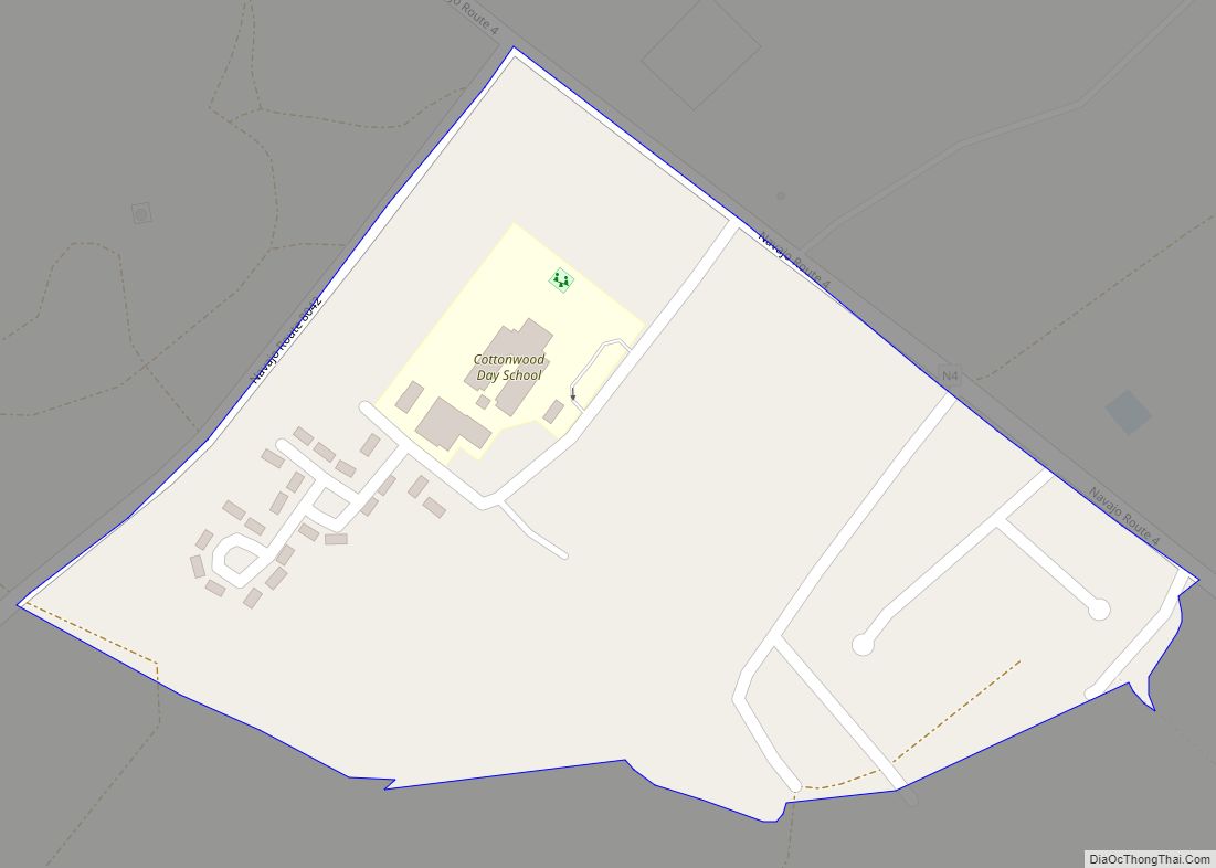
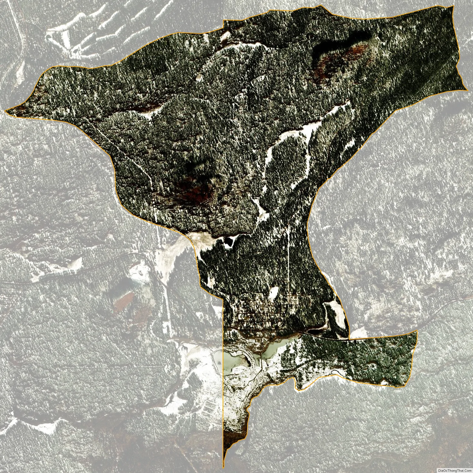
McNary city Satellite Map
Geography
McNary is located at 34°4′36″N 109°51′17″W / 34.07667°N 109.85472°W / 34.07667; -109.85472 (34.076687, -109.854674).
According to the United States Census Bureau, the CDP has a total area of 5.6 square miles (14.4 km), of which 5.5 square miles (14.2 km) is land and 0.077 square miles (0.2 km), or 1.30%, is water.
At an elevation of 7,316 feet (2,230 m), it is the second highest community in Arizona after Alpine.
Climate
The climate in this area has mild differences between highs and lows, and there is adequate rainfall year-round. According to the Köppen Climate Classification system, McNary has a marine west coast climate, abbreviated “Cfb” on climate maps. McNary has recorded one of the lowest temperature in the southwestern state of Arizona, as on January 7, 1971 the temperature froze at around −40 °F / −40 °C. McNary averages 65 inches of snow per year and is one of the coldest places in Arizona, along with Hawley Lake, which recorded the same temperature of −40 °F / −40 °C
See also
Map of Arizona State and its subdivision: Map of other states:- Alabama
- Alaska
- Arizona
- Arkansas
- California
- Colorado
- Connecticut
- Delaware
- District of Columbia
- Florida
- Georgia
- Hawaii
- Idaho
- Illinois
- Indiana
- Iowa
- Kansas
- Kentucky
- Louisiana
- Maine
- Maryland
- Massachusetts
- Michigan
- Minnesota
- Mississippi
- Missouri
- Montana
- Nebraska
- Nevada
- New Hampshire
- New Jersey
- New Mexico
- New York
- North Carolina
- North Dakota
- Ohio
- Oklahoma
- Oregon
- Pennsylvania
- Rhode Island
- South Carolina
- South Dakota
- Tennessee
- Texas
- Utah
- Vermont
- Virginia
- Washington
- West Virginia
- Wisconsin
- Wyoming