Moccasin is an unincorporated community and census-designated place in Mohave County, Arizona, United States. It is within the Kaibab Indian Reservation, and its population was 53 as of the 2020 census, down from 89 at the 2010 census. It is bordered to the south by the CDP of Kaibab.
Some say the community was named from a single moccasin found near the original town site, while others believe a moccasin-shaped rock formation caused the name to be selected.
| Name: | Moccasin CDP |
|---|---|
| LSAD Code: | 57 |
| LSAD Description: | CDP (suffix) |
| State: | Arizona |
| County: | Mohave County |
| Elevation: | 5,092 ft (1,552 m) |
| Total Area: | 0.77 sq mi (1.98 km²) |
| Land Area: | 0.77 sq mi (1.98 km²) |
| Water Area: | 0.00 sq mi (0.00 km²) |
| Total Population: | 53 |
| Population Density: | 69.19/sq mi (26.72/km²) |
| ZIP code: | 86022 (Fredonia) |
| Area code: | 928 |
| FIPS code: | 0447190 |
| GNISfeature ID: | 8145 |
Online Interactive Map
Click on ![]() to view map in "full screen" mode.
to view map in "full screen" mode.
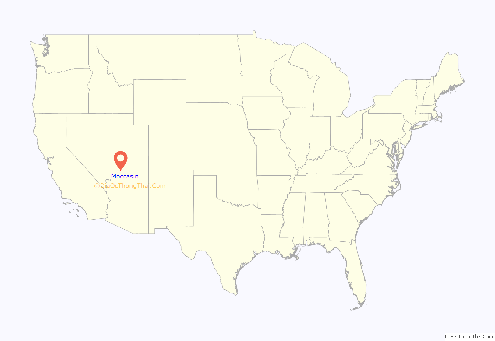
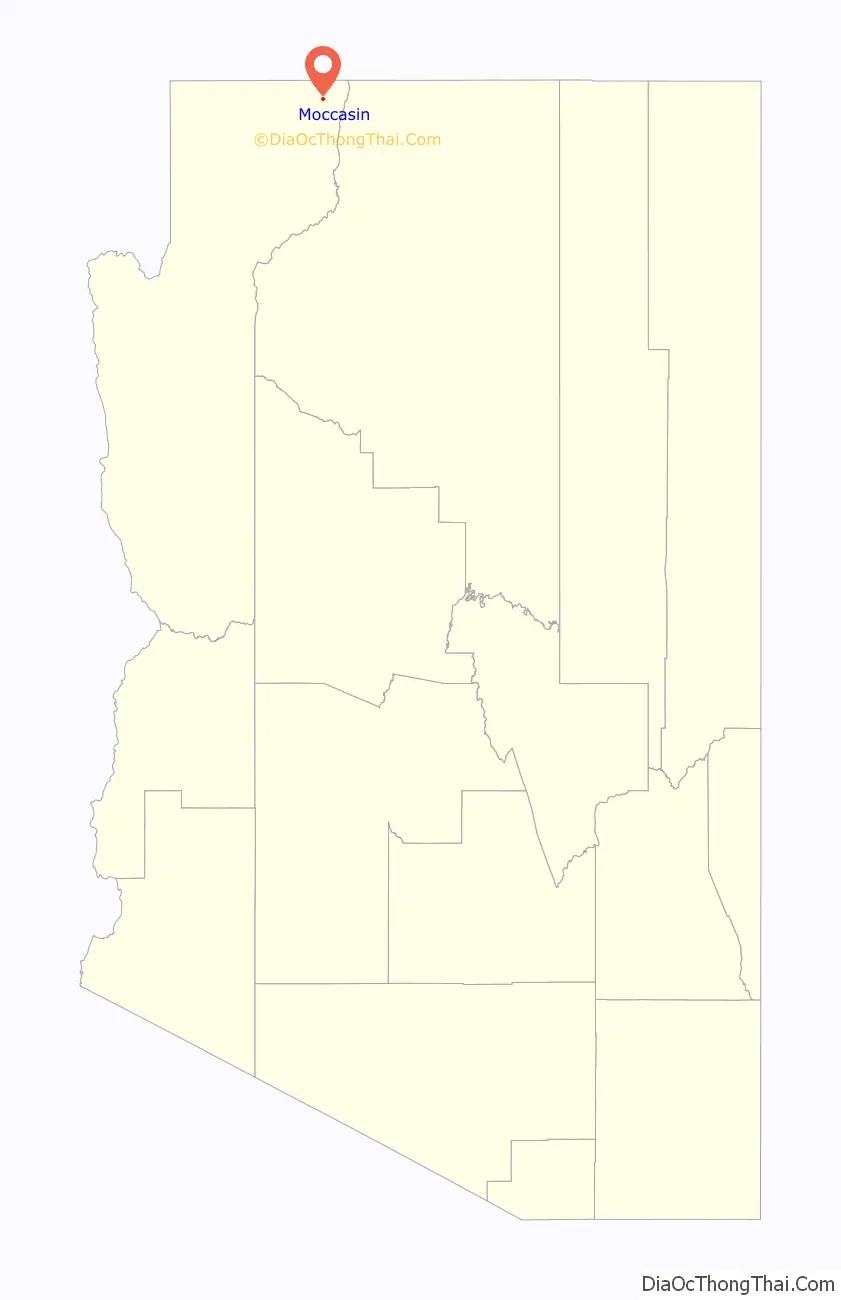
Moccasin location map. Where is Moccasin CDP?
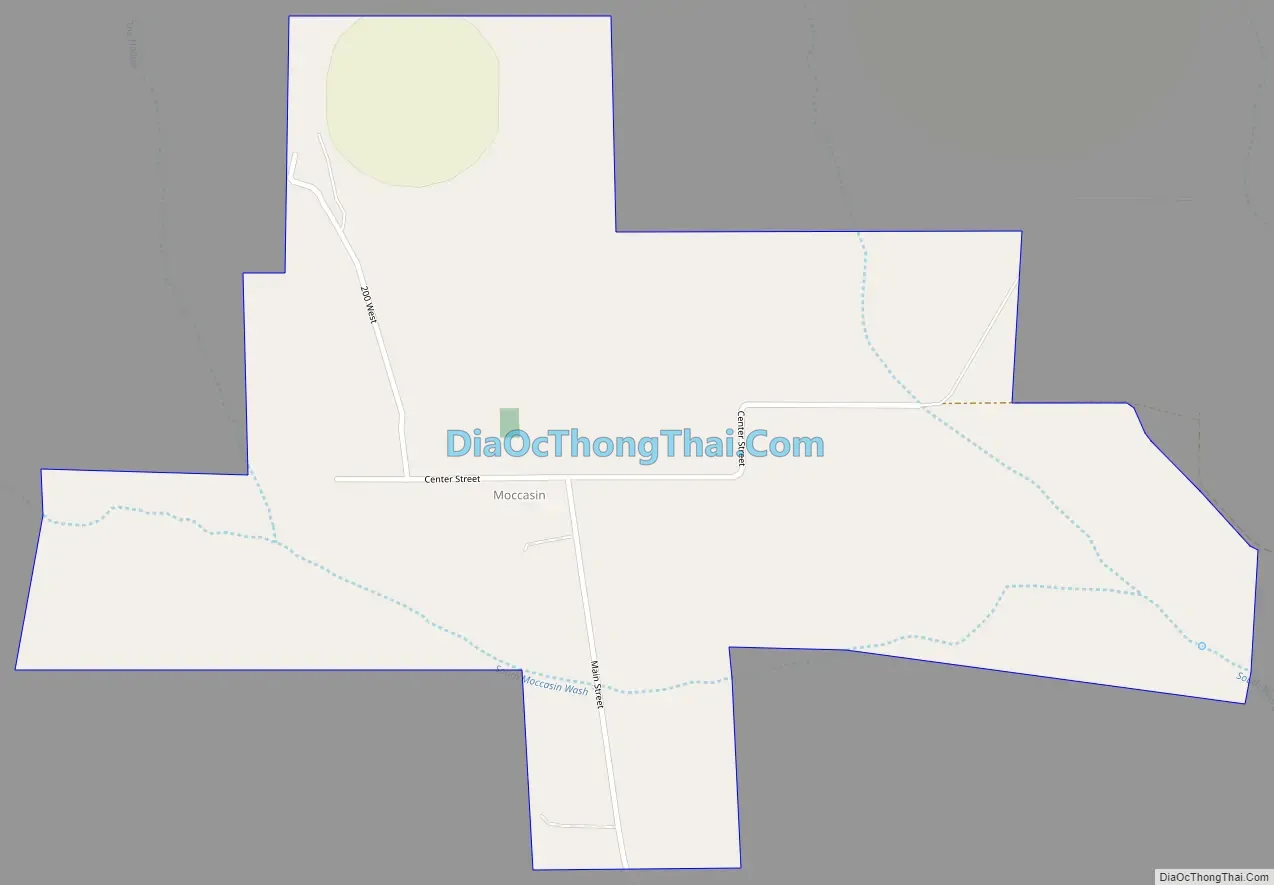
Moccasin Road Map
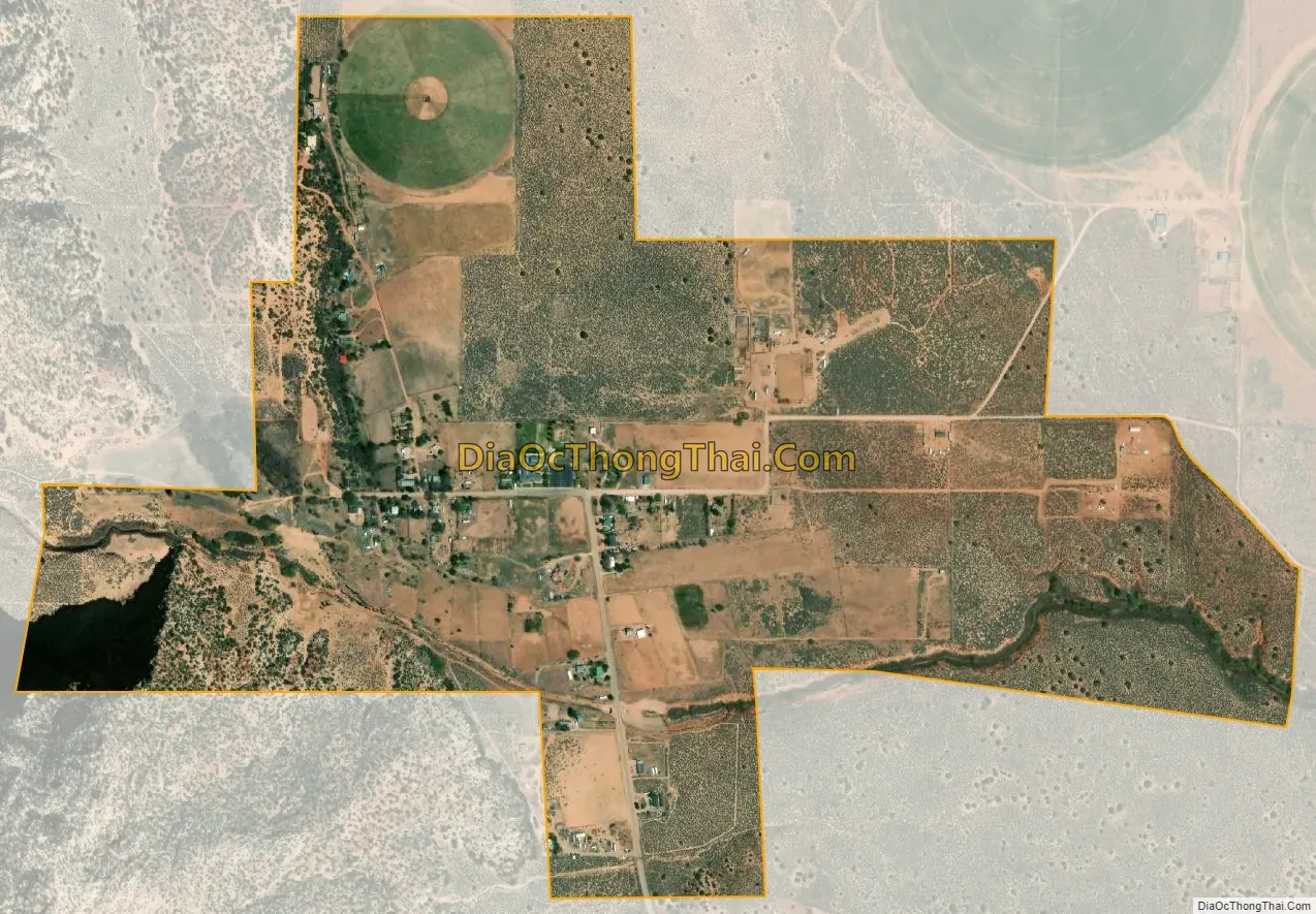
Moccasin city Satellite Map
See also
Map of Arizona State and its subdivision: Map of other states:- Alabama
- Alaska
- Arizona
- Arkansas
- California
- Colorado
- Connecticut
- Delaware
- District of Columbia
- Florida
- Georgia
- Hawaii
- Idaho
- Illinois
- Indiana
- Iowa
- Kansas
- Kentucky
- Louisiana
- Maine
- Maryland
- Massachusetts
- Michigan
- Minnesota
- Mississippi
- Missouri
- Montana
- Nebraska
- Nevada
- New Hampshire
- New Jersey
- New Mexico
- New York
- North Carolina
- North Dakota
- Ohio
- Oklahoma
- Oregon
- Pennsylvania
- Rhode Island
- South Carolina
- South Dakota
- Tennessee
- Texas
- Utah
- Vermont
- Virginia
- Washington
- West Virginia
- Wisconsin
- Wyoming


