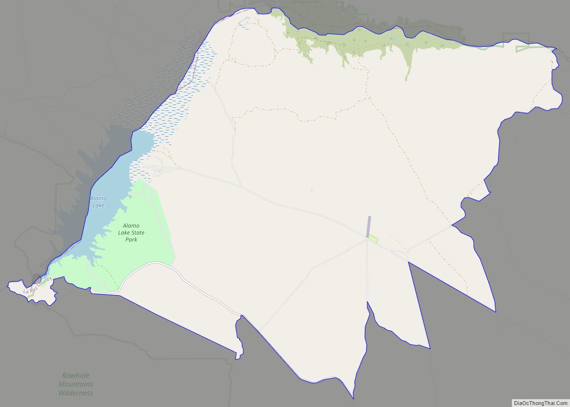
Parker Strip is a census-designated place (CDP) in La Paz County, Arizona, United States. The population was 662 at the 2010 census.
| Name: | Parker Strip CDP |
|---|---|
| LSAD Code: | 57 |
| LSAD Description: | CDP (suffix) |
| State: | Arizona |
| County: | La Paz County |
| Elevation: | 395 ft (120 m) |
| Total Area: | 4.16 sq mi (10.78 km²) |
| Land Area: | 3.13 sq mi (8.10 km²) |
| Water Area: | 1.03 sq mi (2.68 km²) |
| Total Population: | 621 |
| Population Density: | 198.53/sq mi (76.65/km²) |
| ZIP code: | 85344 |
| Area code: | 928 |
| FIPS code: | 0453210 |
Online Interactive Map
Click on ![]() to view map in "full screen" mode.
to view map in "full screen" mode.
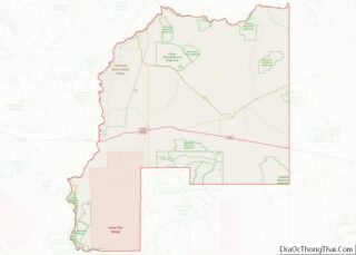
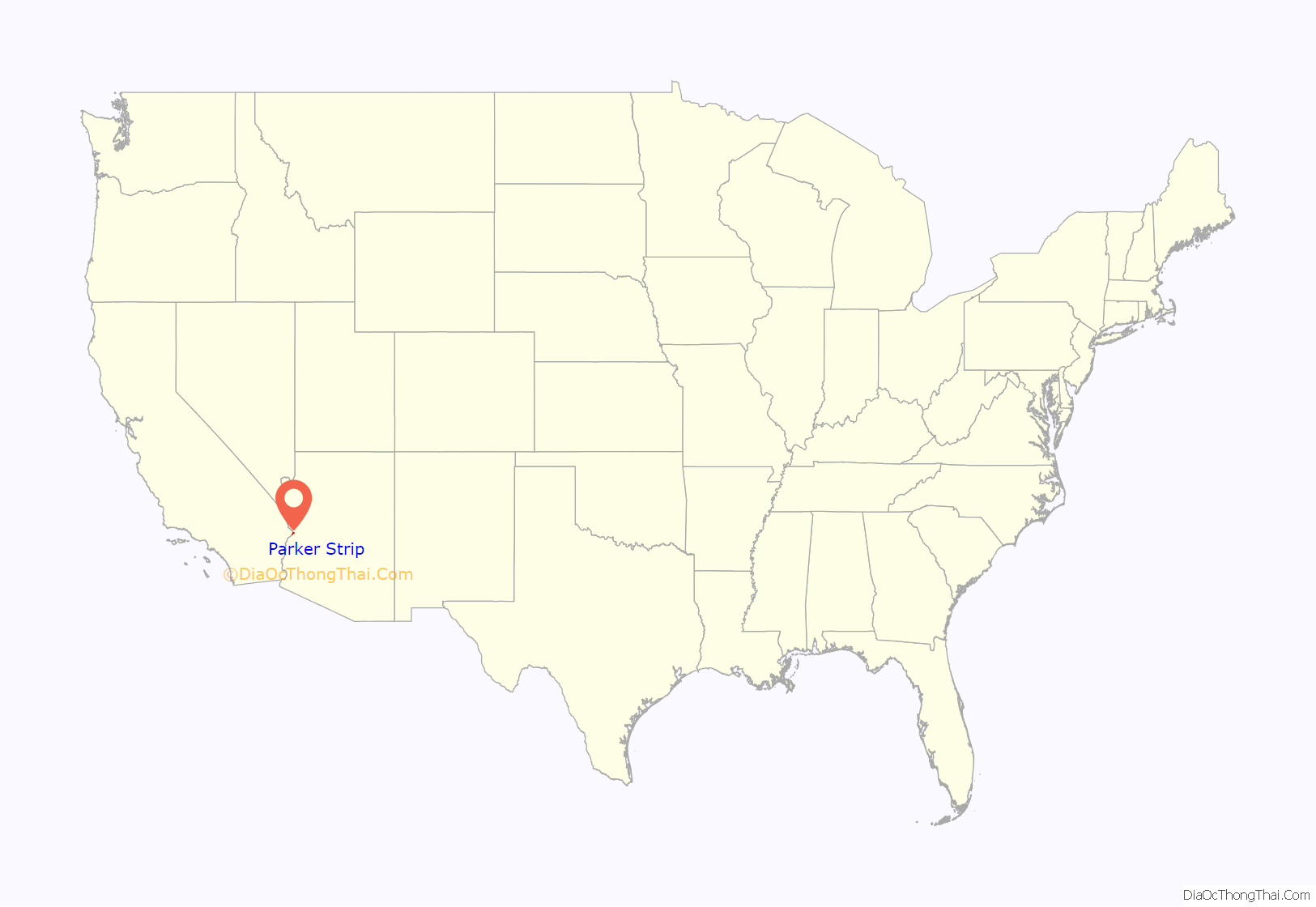
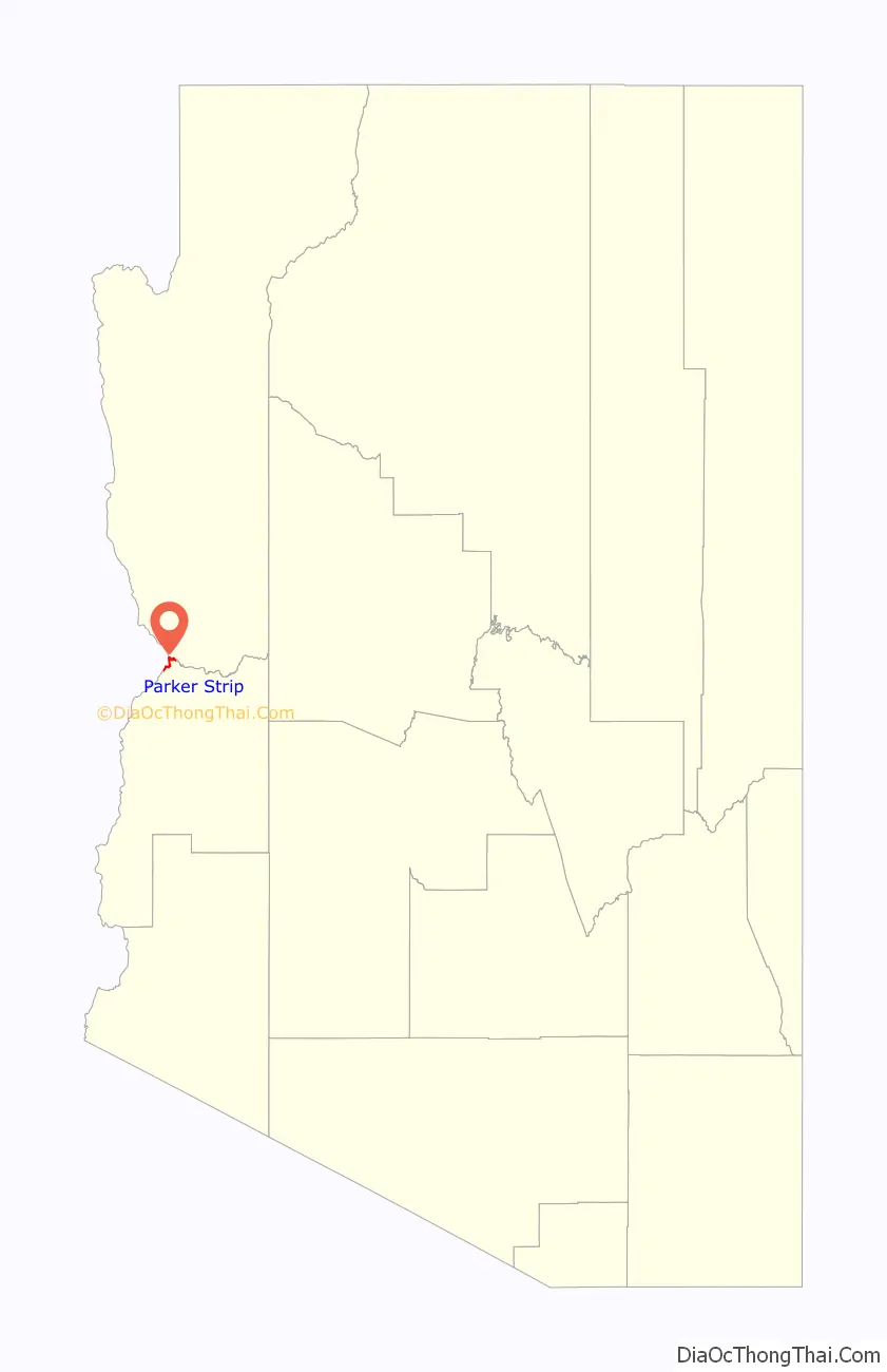
Parker Strip location map. Where is Parker Strip CDP?
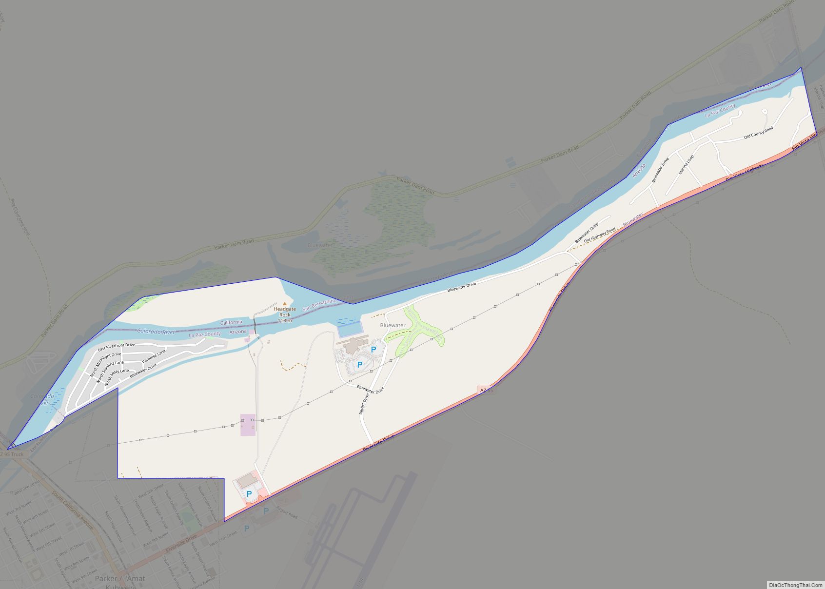
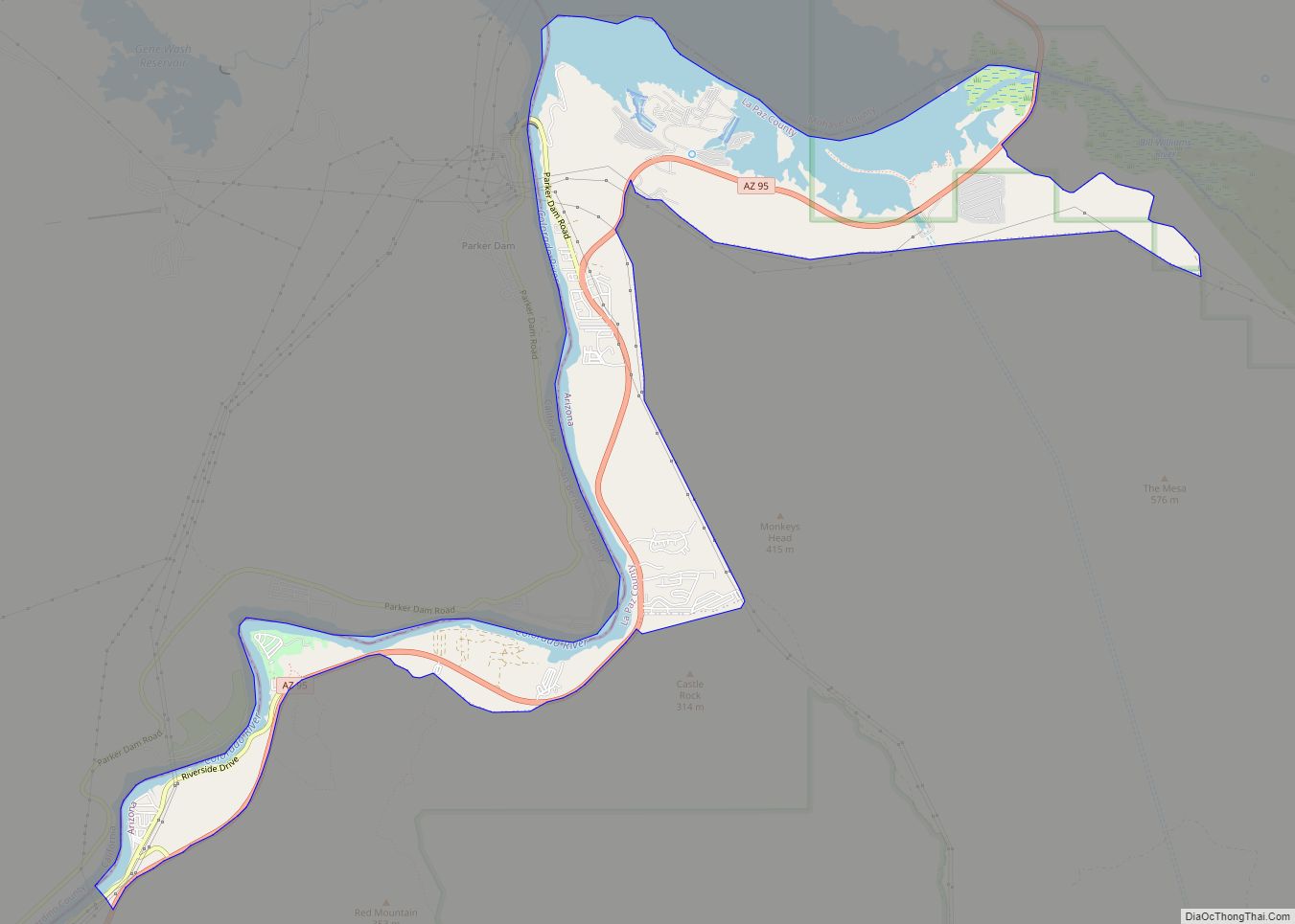
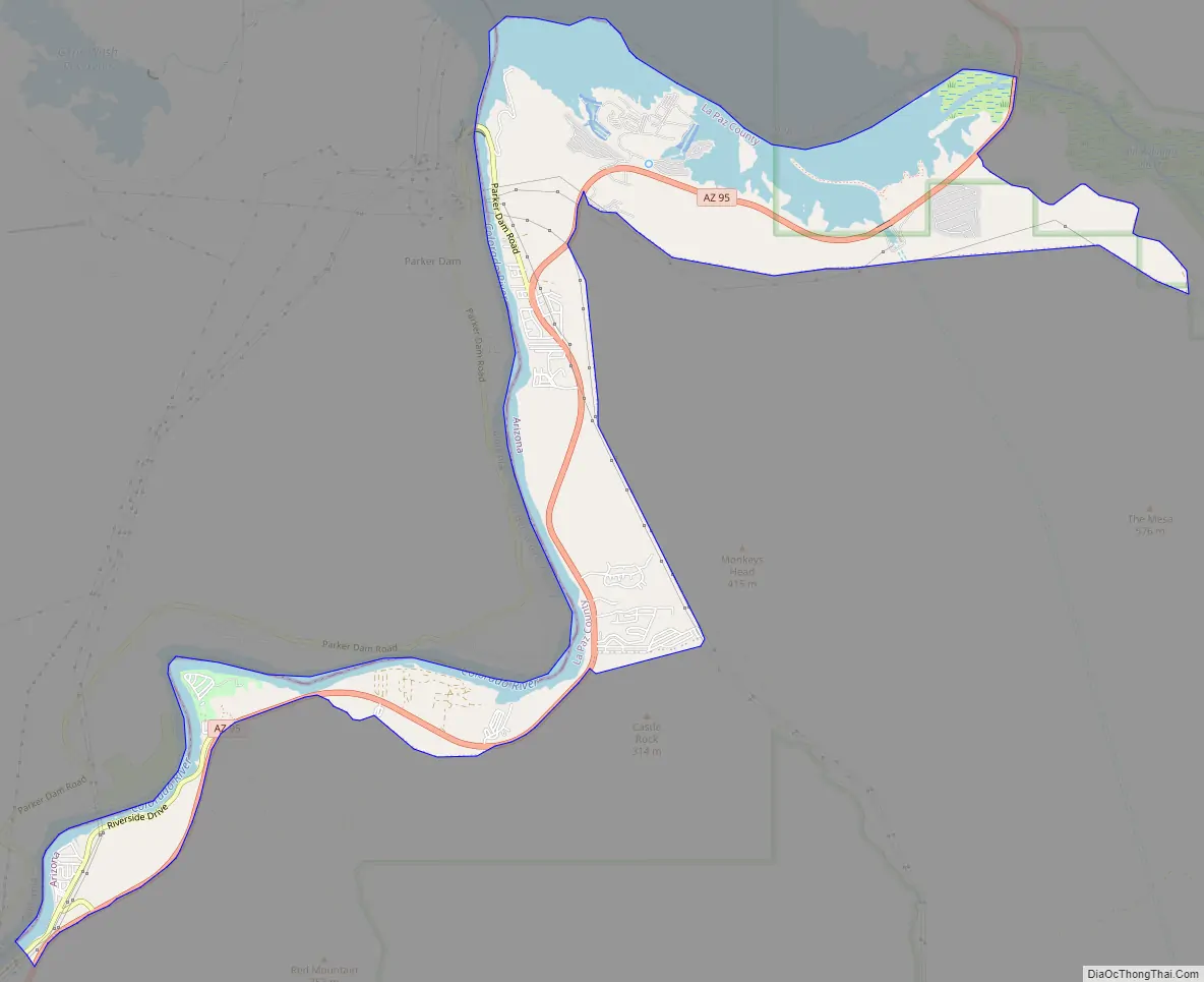
Parker Strip Road Map
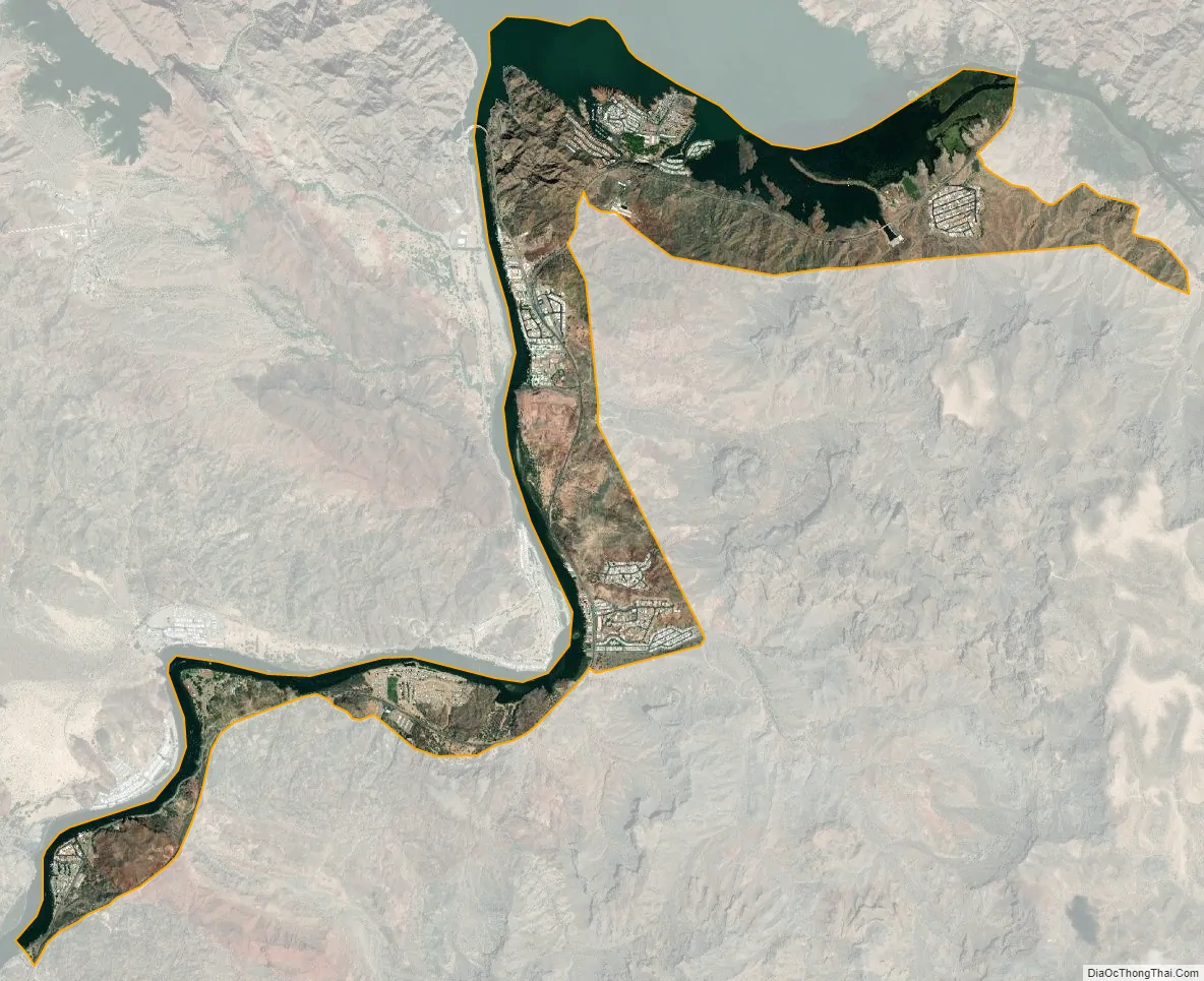
Parker Strip city Satellite Map
Geography
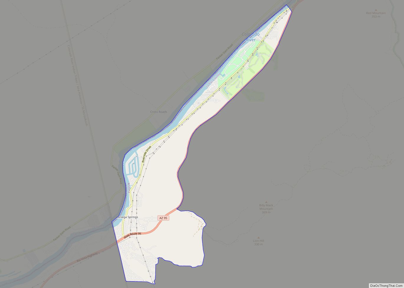
Parker Strip is located in the northwest corner of La Paz County at 34°13′40″N 114°10′56″W / 34.22778°N 114.18222°W / 34.22778; -114.18222 (34.227837, -114.182177). It lies along the Colorado River and includes Parker Dam, which forms Lake Havasu. To the northwest, across the Colorado River, is San Bernardino County, California, and to the north, across an arm of Lake Havasu formed by the Bill Williams River, is Mohave County.
Arizona State Route 95 runs through the length of Parker Strip, leading north 23 miles (37 km) to Lake Havasu City and southwest 15 miles (24 km) to Parker.
According to the United States Census Bureau, the Parker Strip CDP has a total area of 4.2 square miles (10.8 km), of which 3.1 square miles (8.1 km) are land and 1.0 square mile (2.7 km), or 24.86%, are water.
See also
Map of Arizona State and its subdivision: Map of other states:- Alabama
- Alaska
- Arizona
- Arkansas
- California
- Colorado
- Connecticut
- Delaware
- District of Columbia
- Florida
- Georgia
- Hawaii
- Idaho
- Illinois
- Indiana
- Iowa
- Kansas
- Kentucky
- Louisiana
- Maine
- Maryland
- Massachusetts
- Michigan
- Minnesota
- Mississippi
- Missouri
- Montana
- Nebraska
- Nevada
- New Hampshire
- New Jersey
- New Mexico
- New York
- North Carolina
- North Dakota
- Ohio
- Oklahoma
- Oregon
- Pennsylvania
- Rhode Island
- South Carolina
- South Dakota
- Tennessee
- Texas
- Utah
- Vermont
- Virginia
- Washington
- West Virginia
- Wisconsin
- Wyoming