Peeples Valley (Yavapai: Wachinivo) is a census-designated place (CDP) in Yavapai County, Arizona, United States. The population was 374 at the 2000 census.
Peeples Valley is named for prospector A. H. Peeples, who was the leader of the group that discovered Rich Hill, a gold deposit at Weaver, Arizona, in 1863.
| Name: | Peeples Valley CDP |
|---|---|
| LSAD Code: | 57 |
| LSAD Description: | CDP (suffix) |
| State: | Arizona |
| County: | Yavapai County |
| Elevation: | 4,479 ft (1,365 m) |
| Total Area: | 15.14 sq mi (39.21 km²) |
| Land Area: | 15.14 sq mi (39.21 km²) |
| Water Area: | 0.00 sq mi (0.00 km²) |
| Total Population: | 499 |
| Population Density: | 32.96/sq mi (12.72/km²) |
| FIPS code: | 0453910 |
| GNISfeature ID: | 9303 |
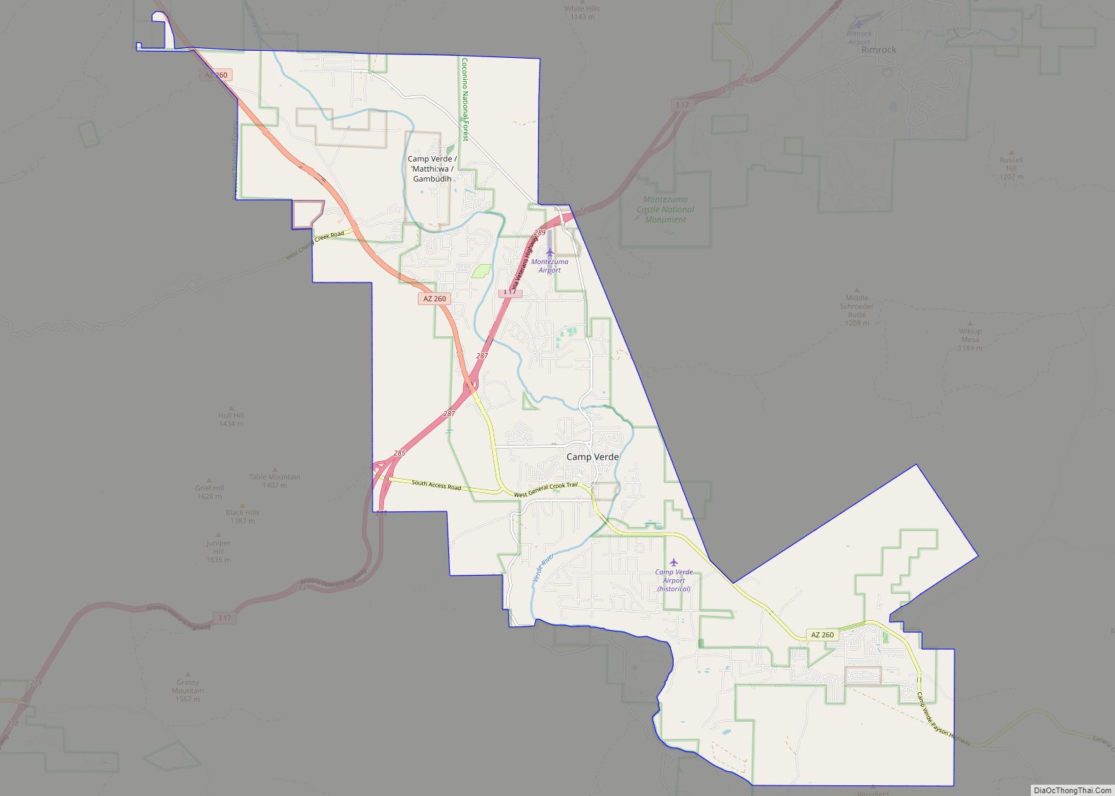
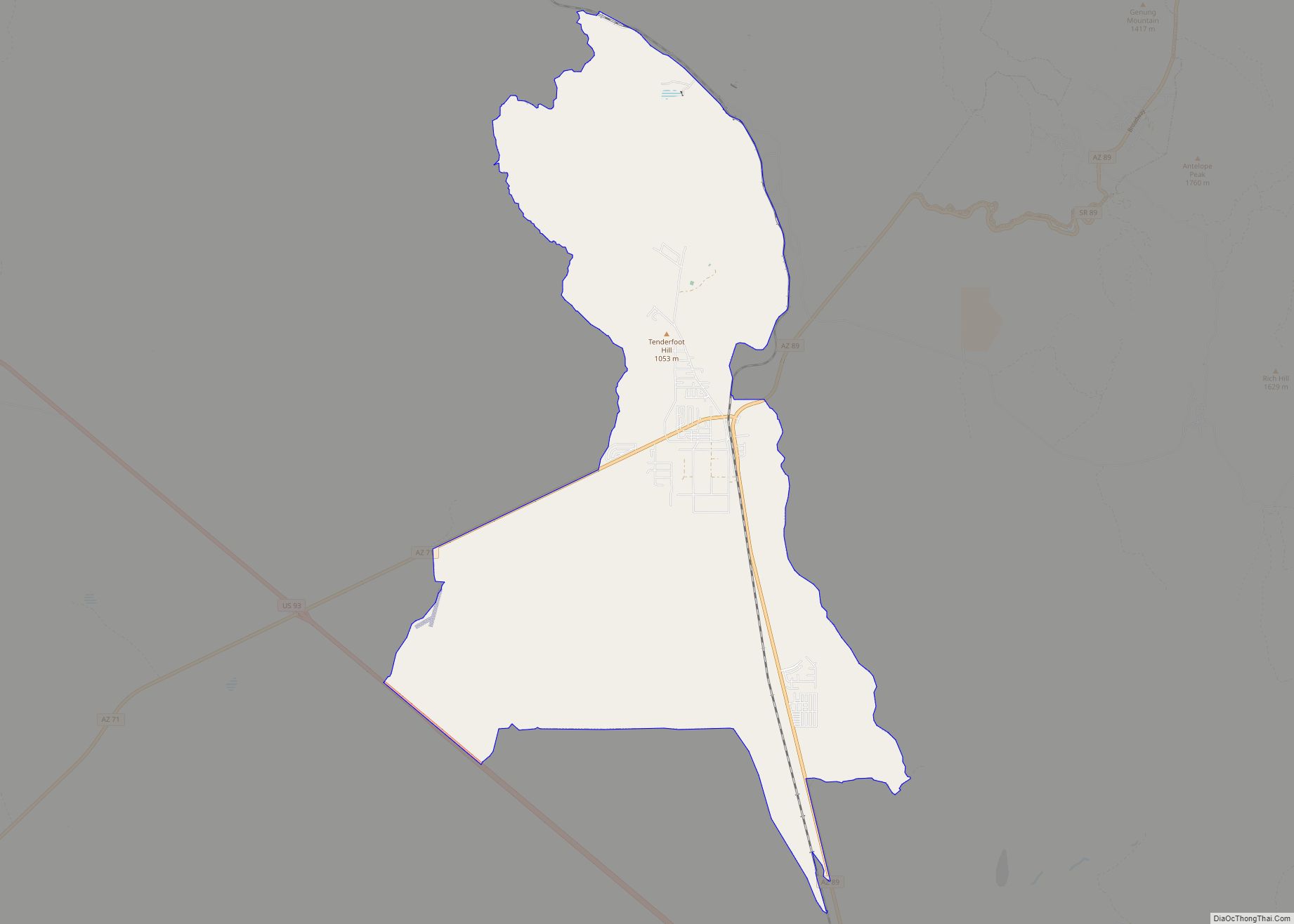
Online Interactive Map
Click on ![]() to view map in "full screen" mode.
to view map in "full screen" mode.
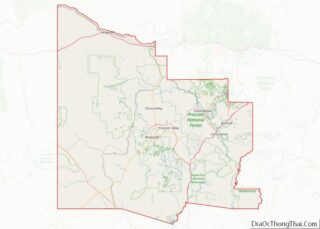
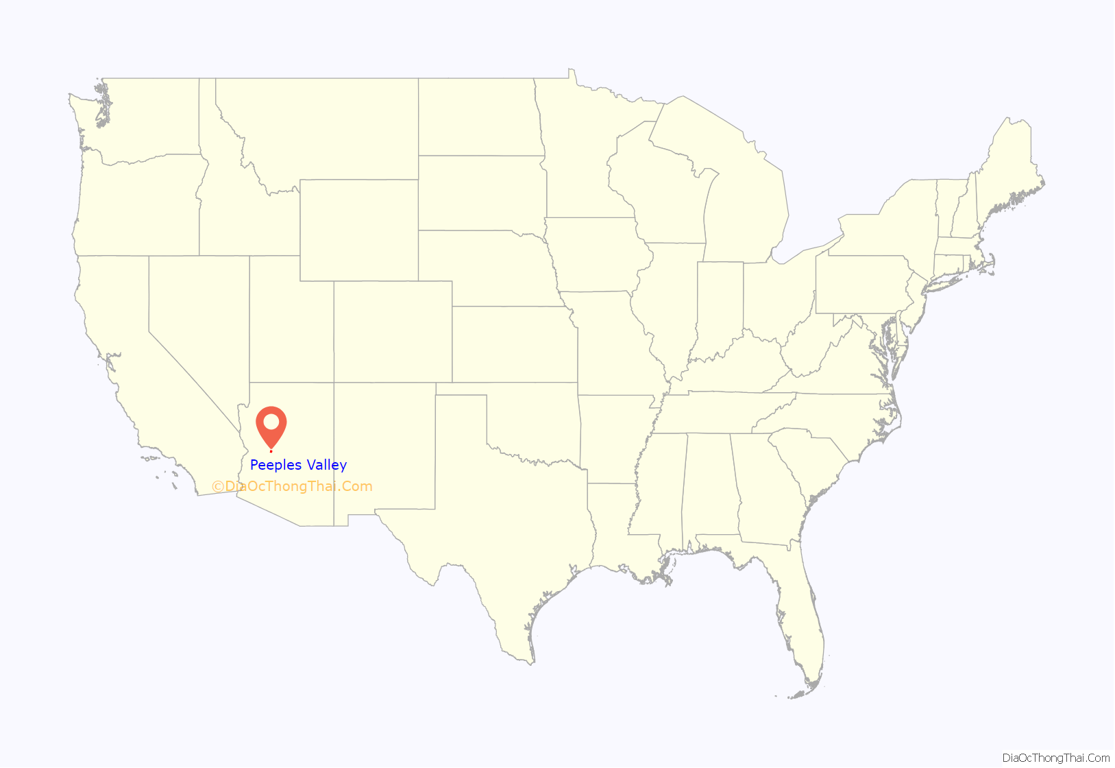
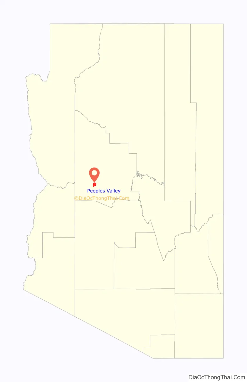
Peeples Valley location map. Where is Peeples Valley CDP?
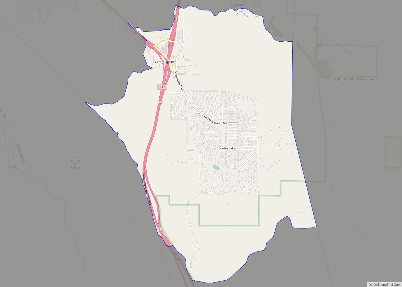
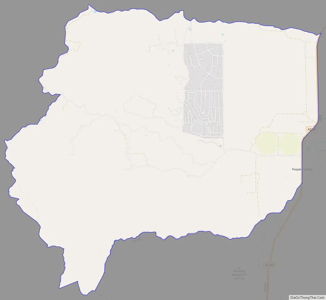
Peeples Valley Road Map
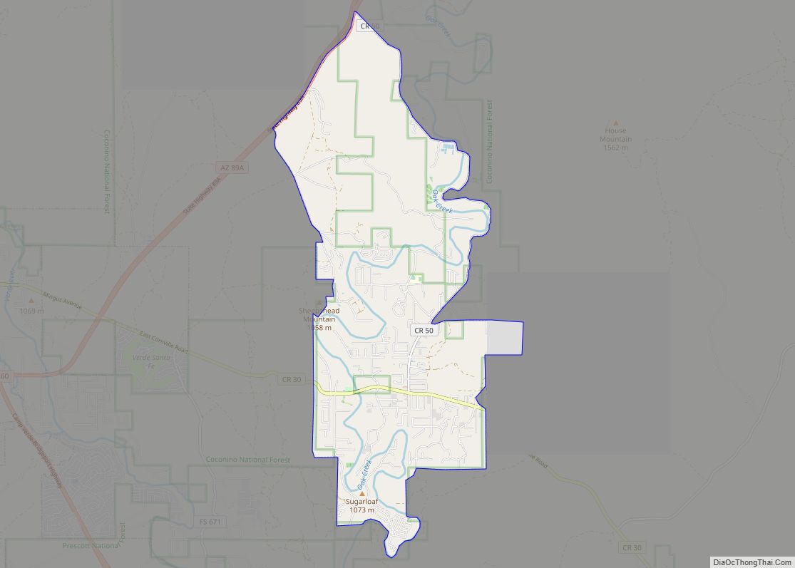
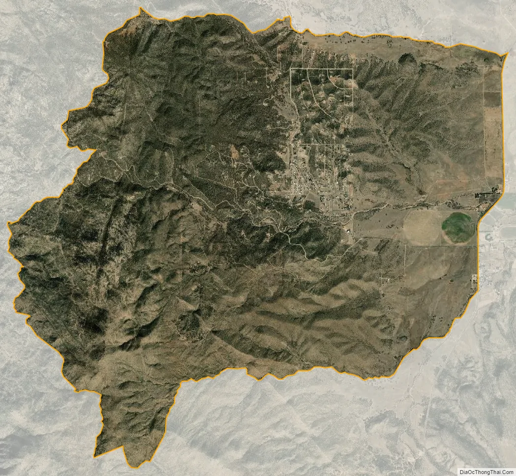
Peeples Valley city Satellite Map
Geography
Peeples Valley is located at 34°16′42″N 112°45′27″W / 34.27833°N 112.75750°W / 34.27833; -112.75750 (34.278307, -112.757573).
According to the United States Census Bureau, the CDP has a total area of 15.0 square miles (39 km), all land.
See also
Map of Arizona State and its subdivision: Map of other states:- Alabama
- Alaska
- Arizona
- Arkansas
- California
- Colorado
- Connecticut
- Delaware
- District of Columbia
- Florida
- Georgia
- Hawaii
- Idaho
- Illinois
- Indiana
- Iowa
- Kansas
- Kentucky
- Louisiana
- Maine
- Maryland
- Massachusetts
- Michigan
- Minnesota
- Mississippi
- Missouri
- Montana
- Nebraska
- Nevada
- New Hampshire
- New Jersey
- New Mexico
- New York
- North Carolina
- North Dakota
- Ohio
- Oklahoma
- Oregon
- Pennsylvania
- Rhode Island
- South Carolina
- South Dakota
- Tennessee
- Texas
- Utah
- Vermont
- Virginia
- Washington
- West Virginia
- Wisconsin
- Wyoming