Pima is a town in Graham County, Arizona, United States. As of the 2010 census, the population of the town was 2,387, up from 1,989 in 2000. The estimated population in 2018 was 2,512. Pima is part of the Safford Micropolitan Statistical Area.
Despite its name, it is not located in nearby Pima County. This is a similar situation to the town of Maricopa, Arizona, which is not located in Maricopa County but rather in Pinal County.
| Name: | Pima town |
|---|---|
| LSAD Code: | 43 |
| LSAD Description: | town (suffix) |
| State: | Arizona |
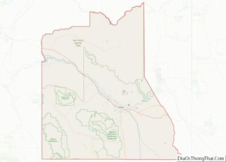
| County: | Graham County |
| Elevation: | 2,838 ft (865 m) |
| Total Area: | 7.36 sq mi (19.05 km²) |
| Land Area: | 7.30 sq mi (18.90 km²) |
| Water Area: | 0.06 sq mi (0.16 km²) |
| Total Population: | 2,847 |
| Population Density: | 390.21/sq mi (150.67/km²) |
| ZIP code: | 85535, 85543 |
| Area code: | 928 |
| FIPS code: | 0455560 |
| GNISfeature ID: | 0009433 |
| Website: | www.pimatown.az.gov |
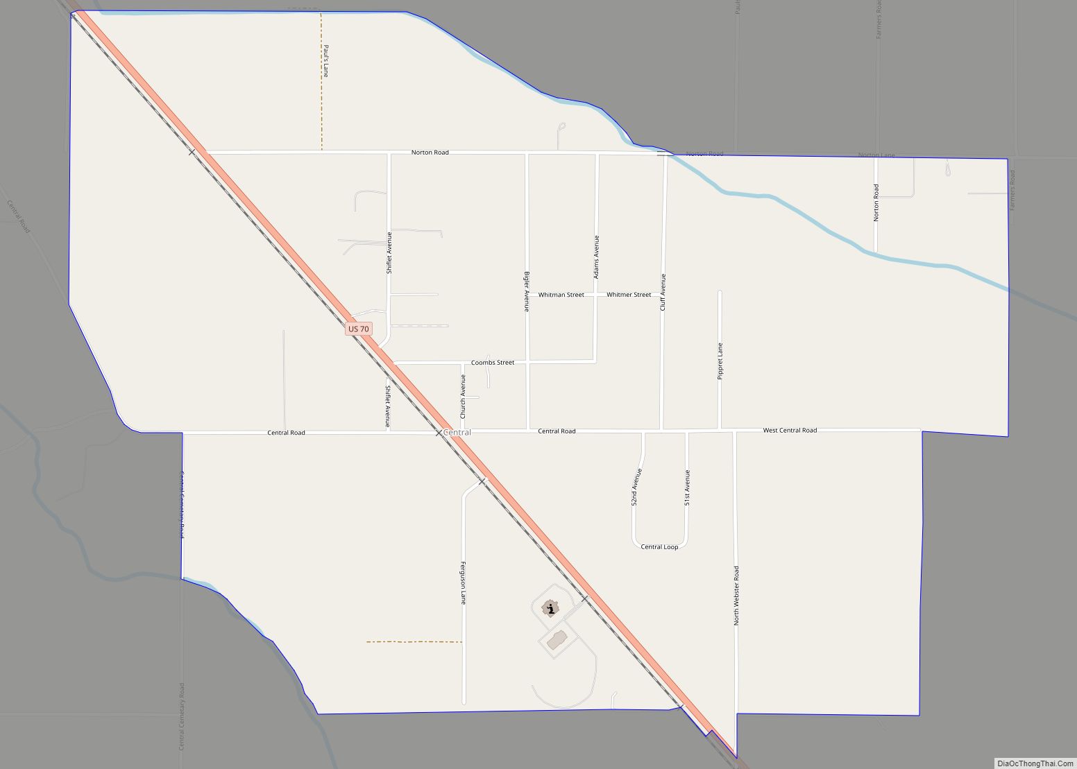
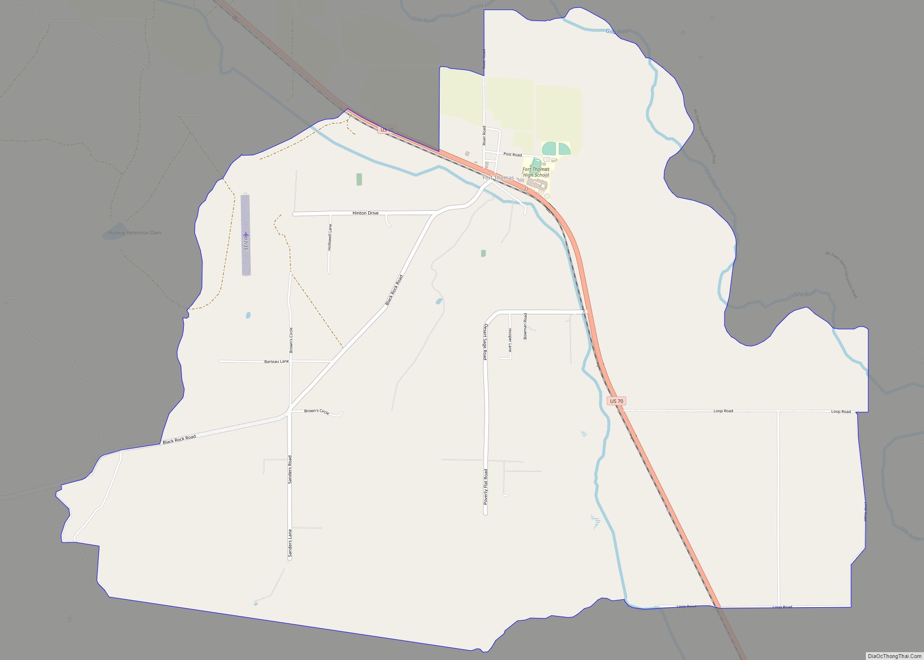
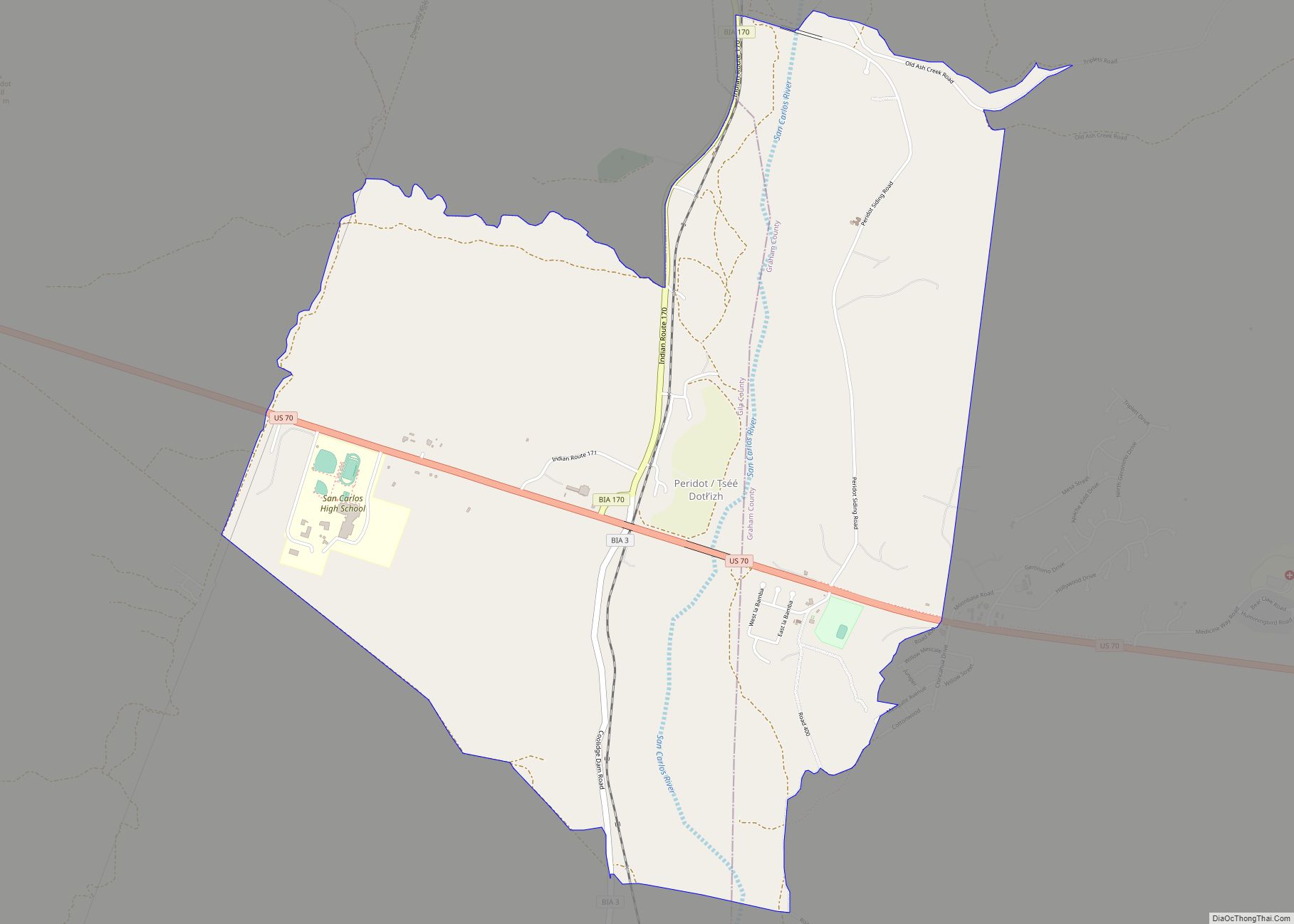
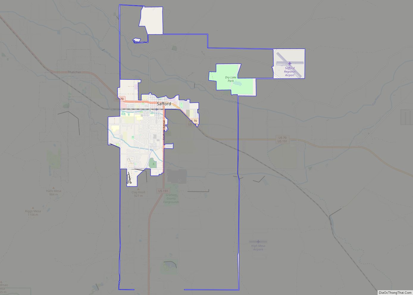
Online Interactive Map
Click on ![]() to view map in "full screen" mode.
to view map in "full screen" mode.
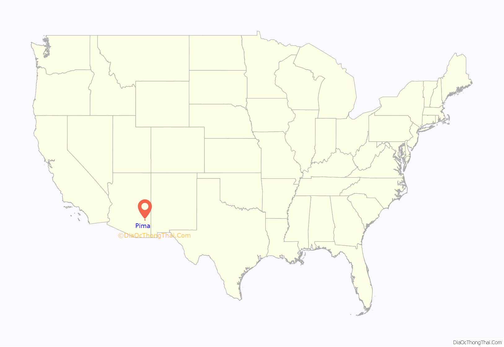
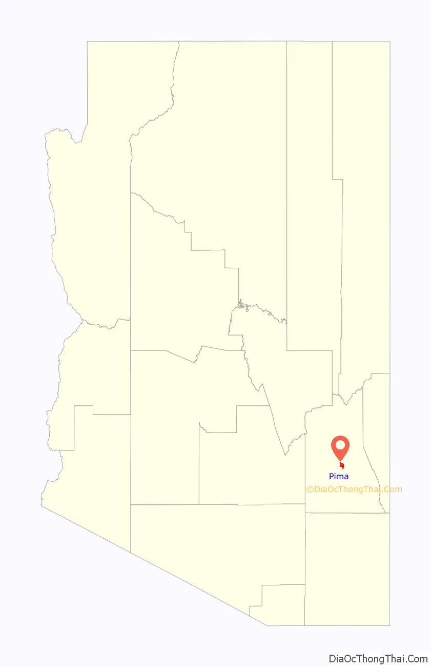
Pima location map. Where is Pima town?
History
Pima was settled by Mormon settlers in 1879. It was originally named “Smithville”. The first settlers had been living in Forrest Dale, but then were told they had to leave because the location was on Indian land. Unlike other Mormon settlements of the era, Smithville was not planned by the leaders of the church.
Joseph K. Rogers was the first branch president at Pima, being appointed to this office before any of the settlers arrived. The branch was organized into a ward in 1880. In 1930 the ward had 666 members. Pima had a population of 980, and a total of 1,260 people resided within the boundaries of the Pima ward. In 1990 Pima had 1,725 residents.
In 1882 Jesse N. Smith predicted that a Mormon temple would one day be built in Pima. The Gila Valley Arizona Temple is currently at a site between Pima and Thatcher in Central, Arizona, within the boundaries of the Pima Arizona Stake of the Church.
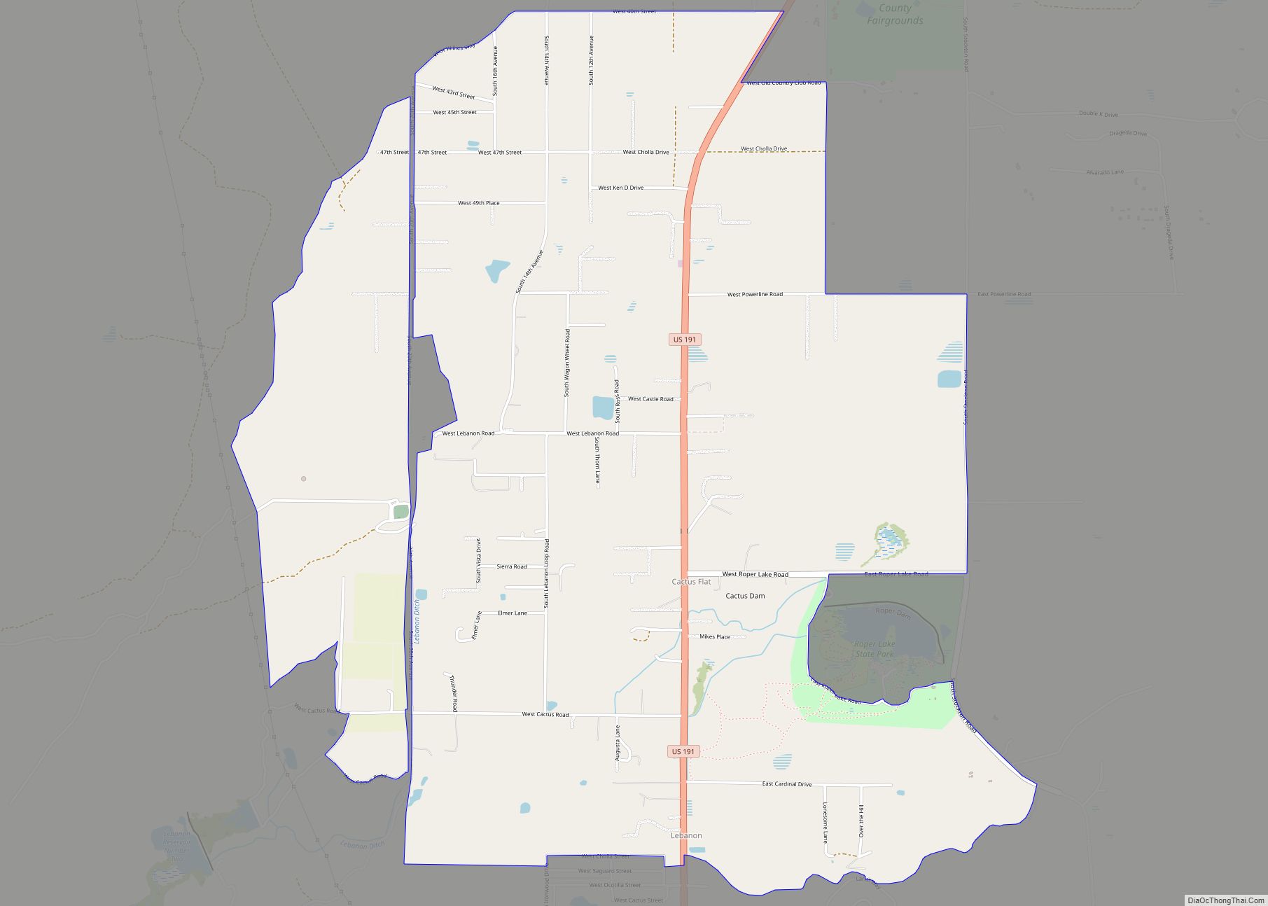
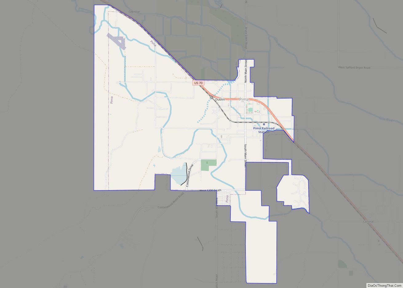
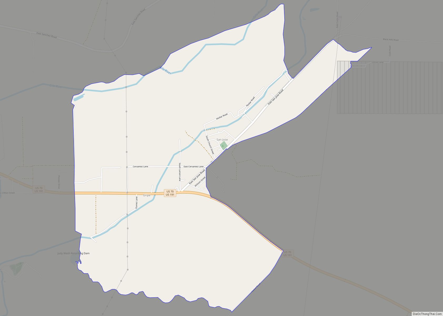
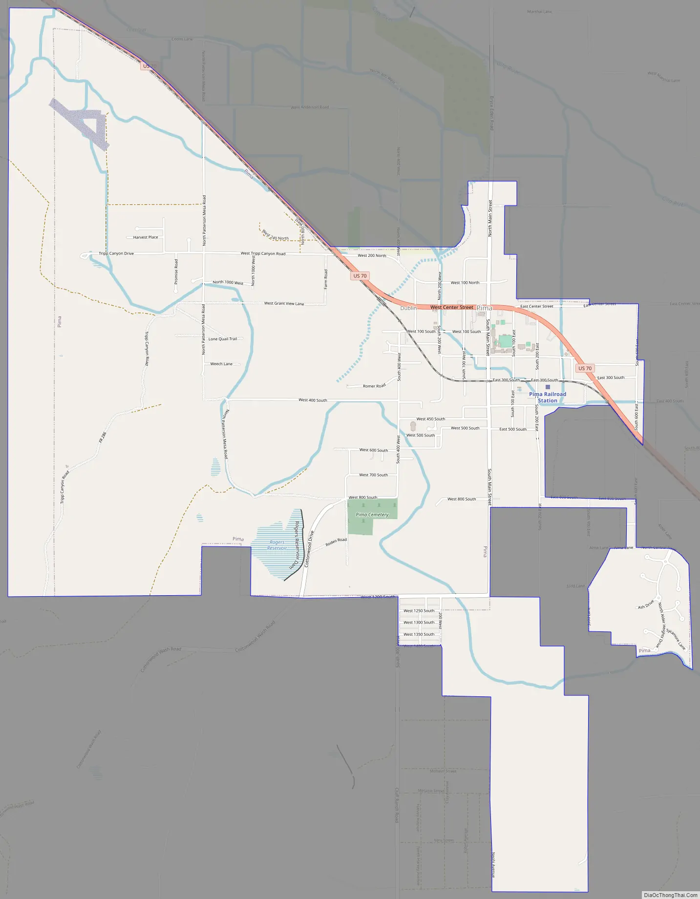
Pima Road Map
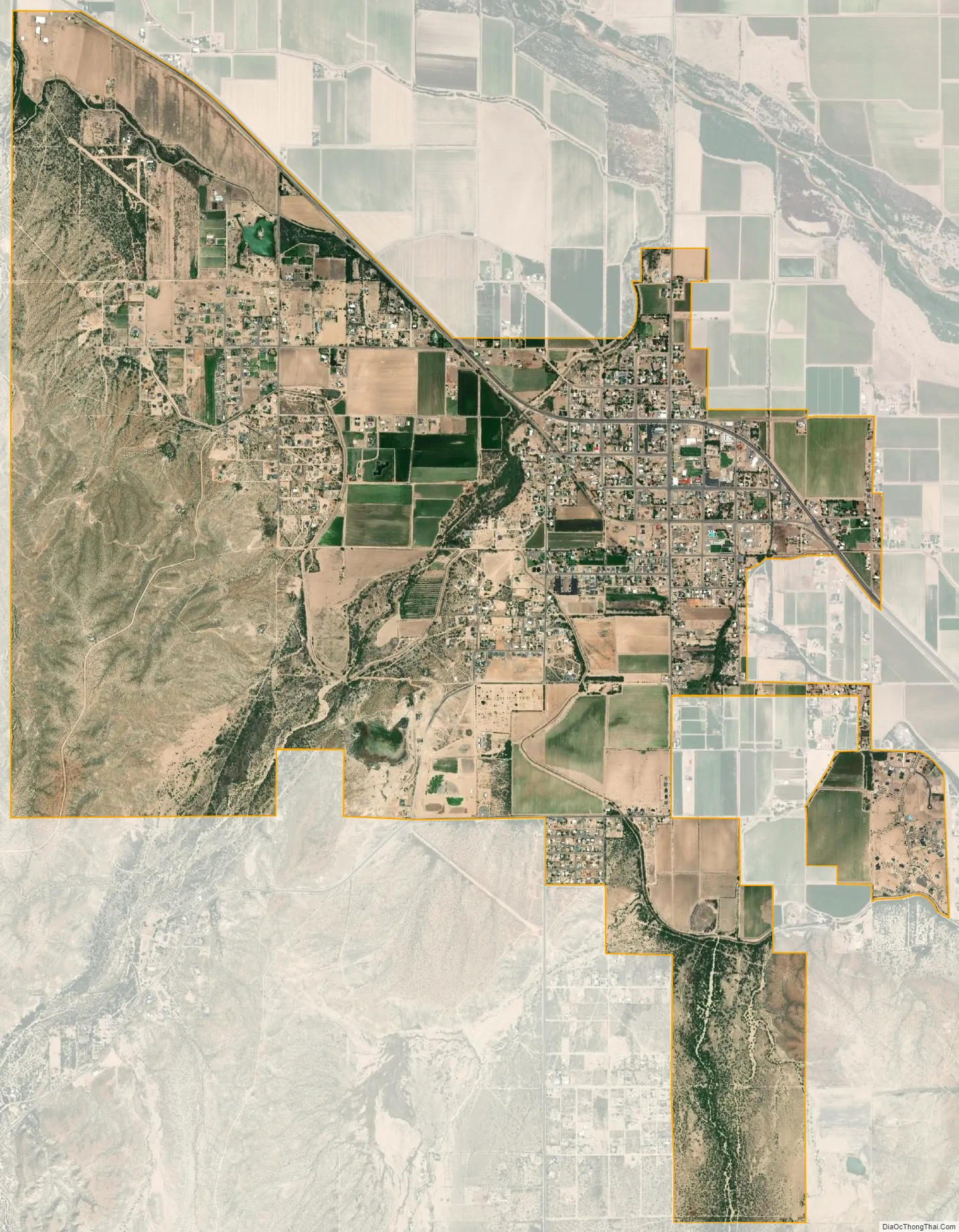
Pima city Satellite Map
Geography
Pima is located in central Graham County at 32°53′19″N 109°49′42″W / 32.88861°N 109.82833°W / 32.88861; -109.82833 (32.888631, −109.828279), in the valley of the Gila River. U.S. Route 70 passes through the town, leading southeast 8 miles (13 km) to Safford, the county seat, and northwest 68 miles (109 km) to Globe.
According to the United States Census Bureau, the town has a total area of 5.9 square miles (15.4 km), of which 0.04 square miles (0.1 km), or 0.76%, is water.
See also
Map of Arizona State and its subdivision: Map of other states:- Alabama
- Alaska
- Arizona
- Arkansas
- California
- Colorado
- Connecticut
- Delaware
- District of Columbia
- Florida
- Georgia
- Hawaii
- Idaho
- Illinois
- Indiana
- Iowa
- Kansas
- Kentucky
- Louisiana
- Maine
- Maryland
- Massachusetts
- Michigan
- Minnesota
- Mississippi
- Missouri
- Montana
- Nebraska
- Nevada
- New Hampshire
- New Jersey
- New Mexico
- New York
- North Carolina
- North Dakota
- Ohio
- Oklahoma
- Oregon
- Pennsylvania
- Rhode Island
- South Carolina
- South Dakota
- Tennessee
- Texas
- Utah
- Vermont
- Virginia
- Washington
- West Virginia
- Wisconsin
- Wyoming