Snowflake is a town in Navajo County, Arizona, United States. It was founded in 1878 by Erastus Snow and William Jordan Flake, Mormon pioneers Snowflake is 25 miles (40 km) south of Interstate 40 (formerly U.S. Route 66) via Highway 77. The Apache Railway provides freight service.
| Name: | Snowflake town |
|---|---|
| LSAD Code: | 43 |
| LSAD Description: | town (suffix) |
| State: | Arizona |
| County: | Navajo County |
| Founded: | 1878 |
| Elevation: | 5,686 ft (1,733 m) |
| Total Area: | 33.80 sq mi (87.54 km²) |
| Land Area: | 33.74 sq mi (87.39 km²) |
| Water Area: | 0.06 sq mi (0.15 km²) |
| Total Population: | 6,104 |
| Population Density: | 180.91/sq mi (69.85/km²) |
| ZIP code: | 85937, 85942 |
| Area code: | 928 |
| FIPS code: | 0467800 |
Online Interactive Map
Click on ![]() to view map in "full screen" mode.
to view map in "full screen" mode.
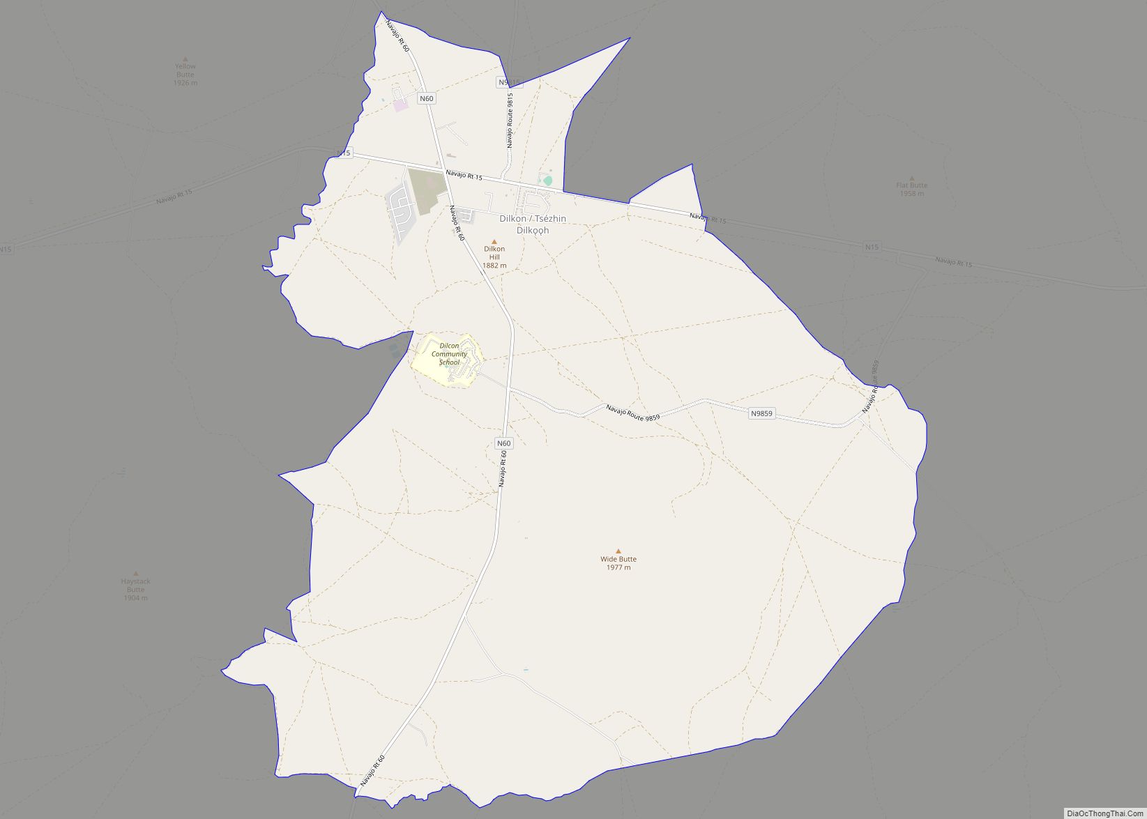
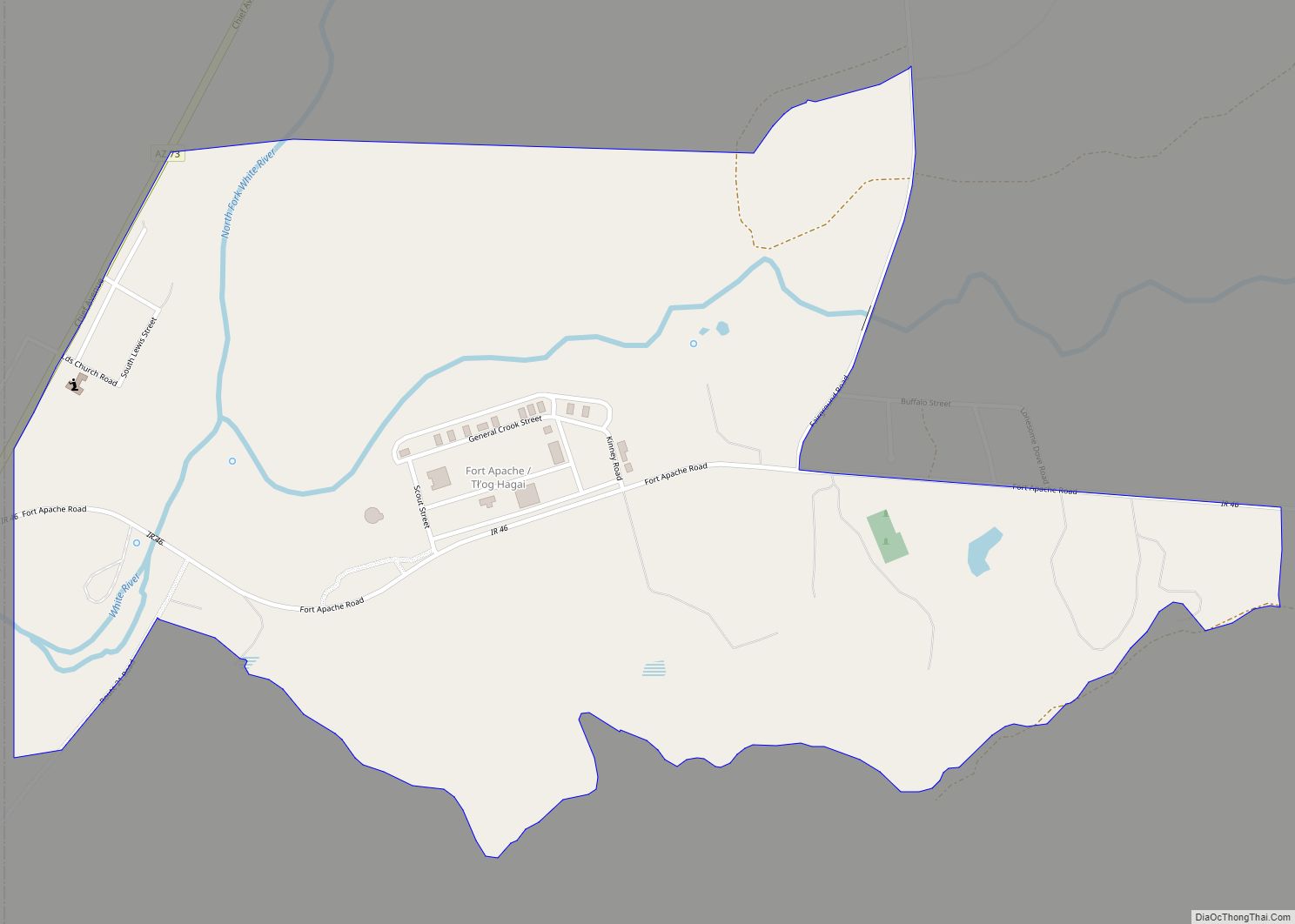
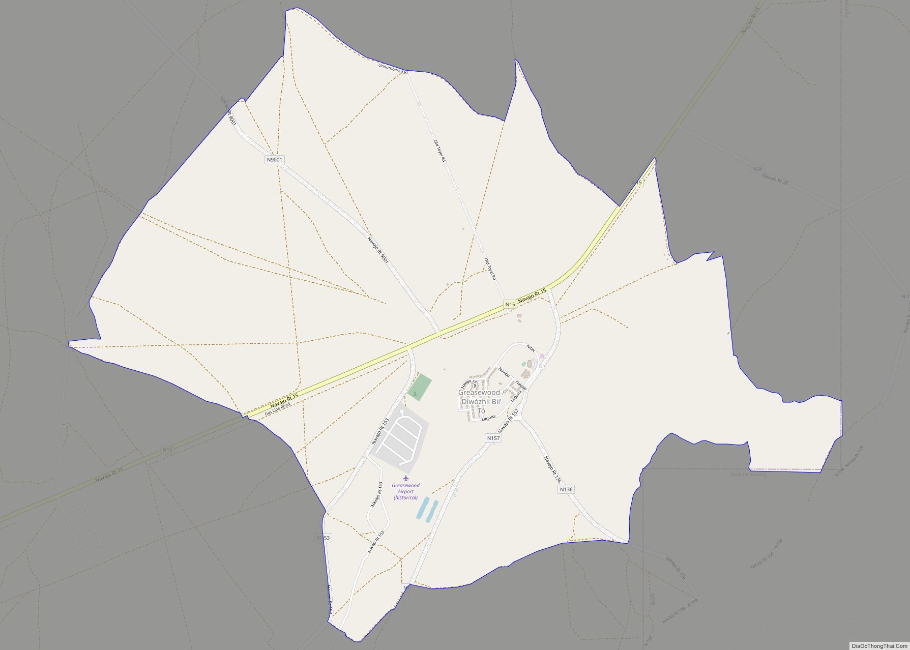
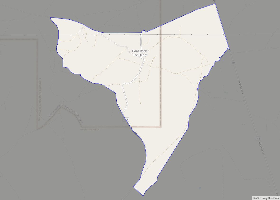
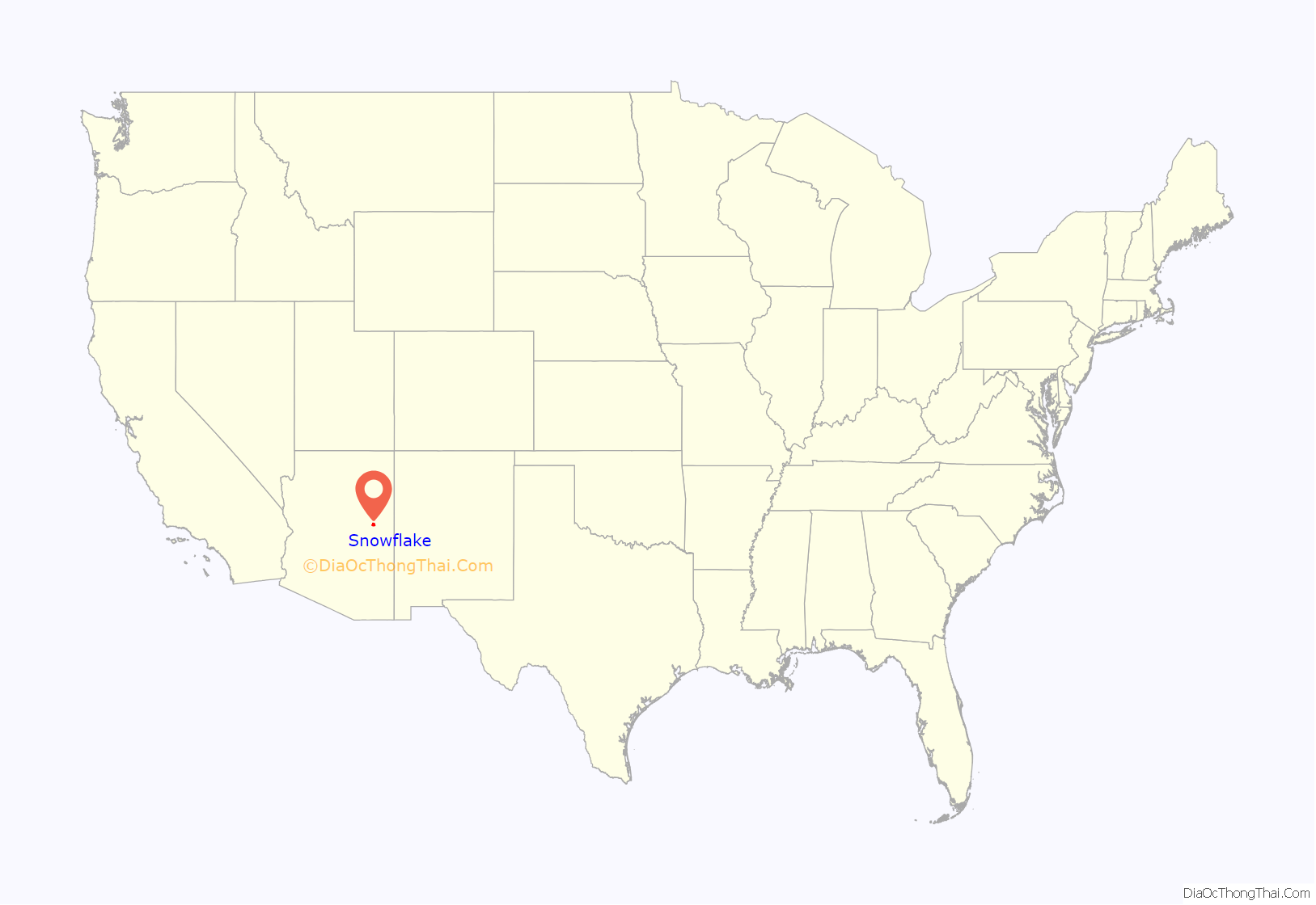
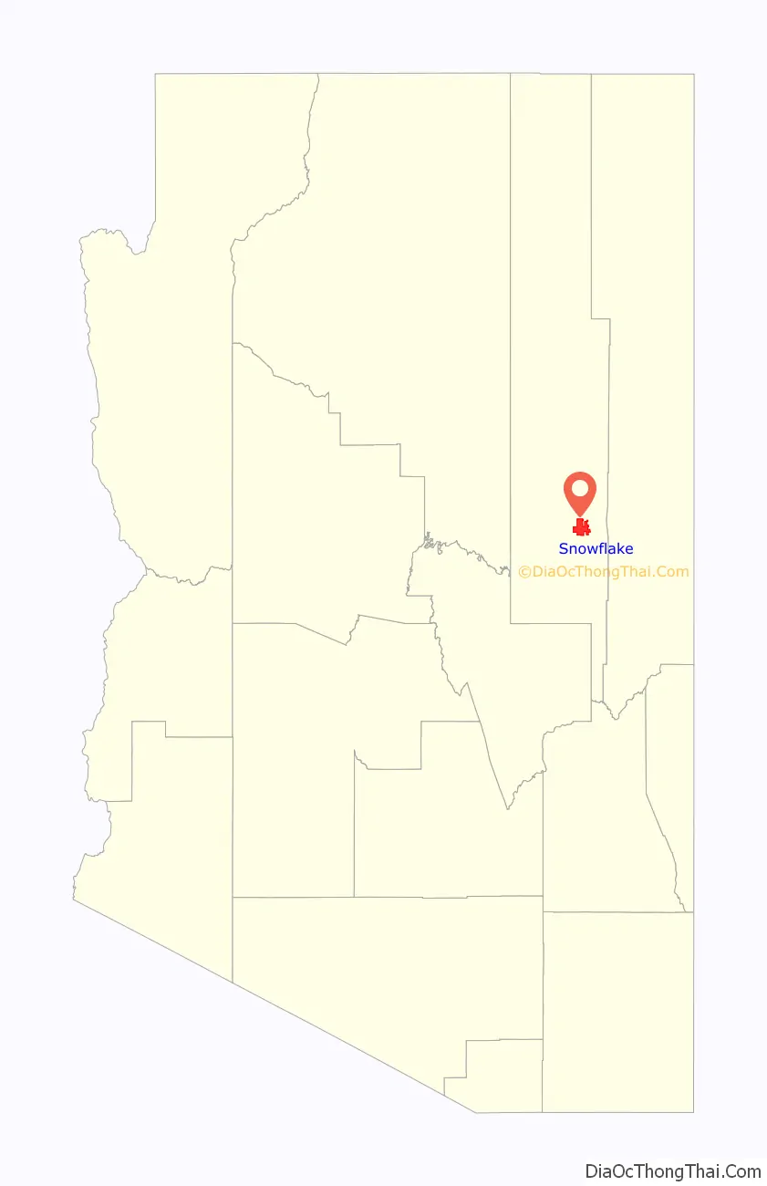
Snowflake location map. Where is Snowflake town?
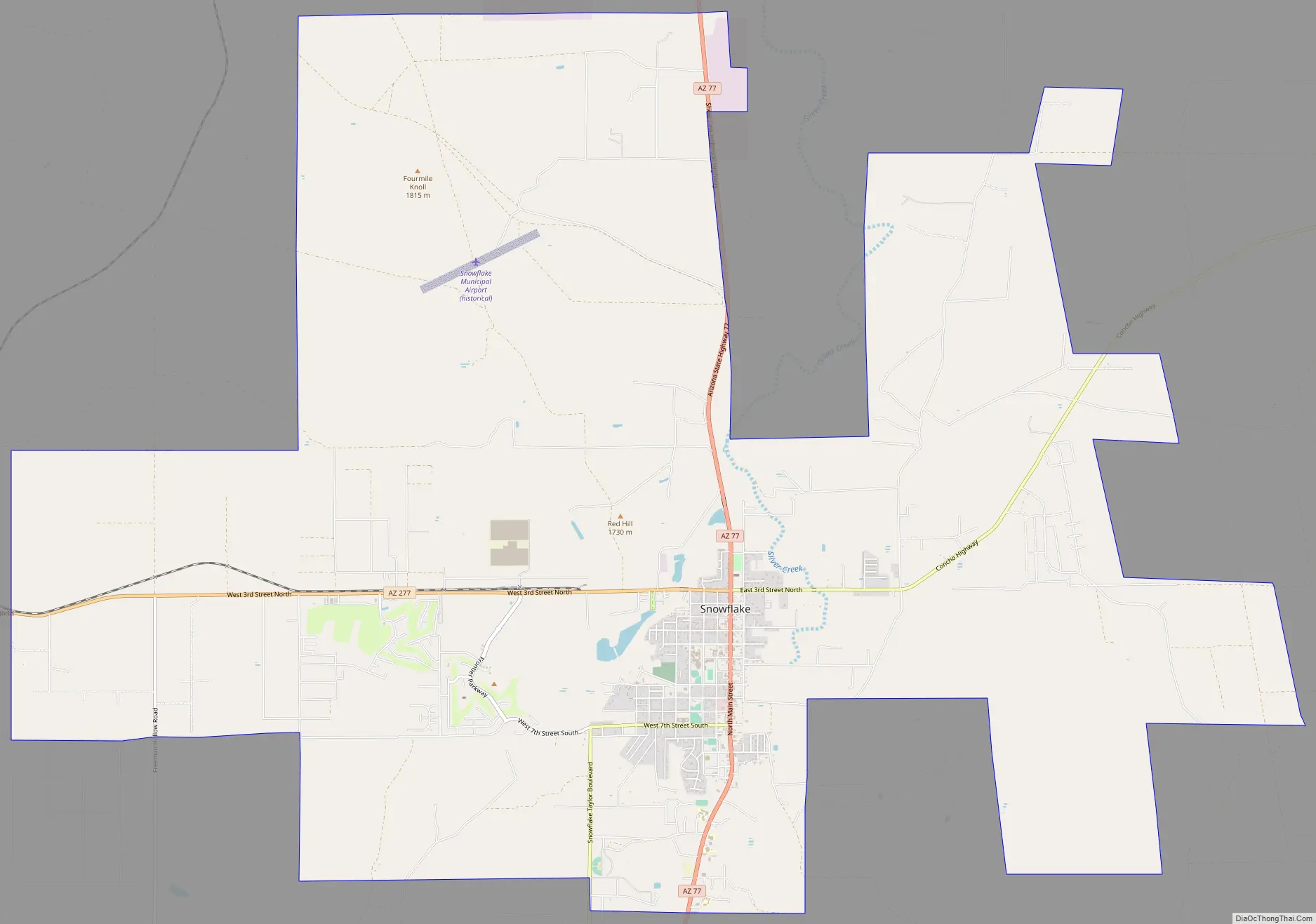
Snowflake Road Map
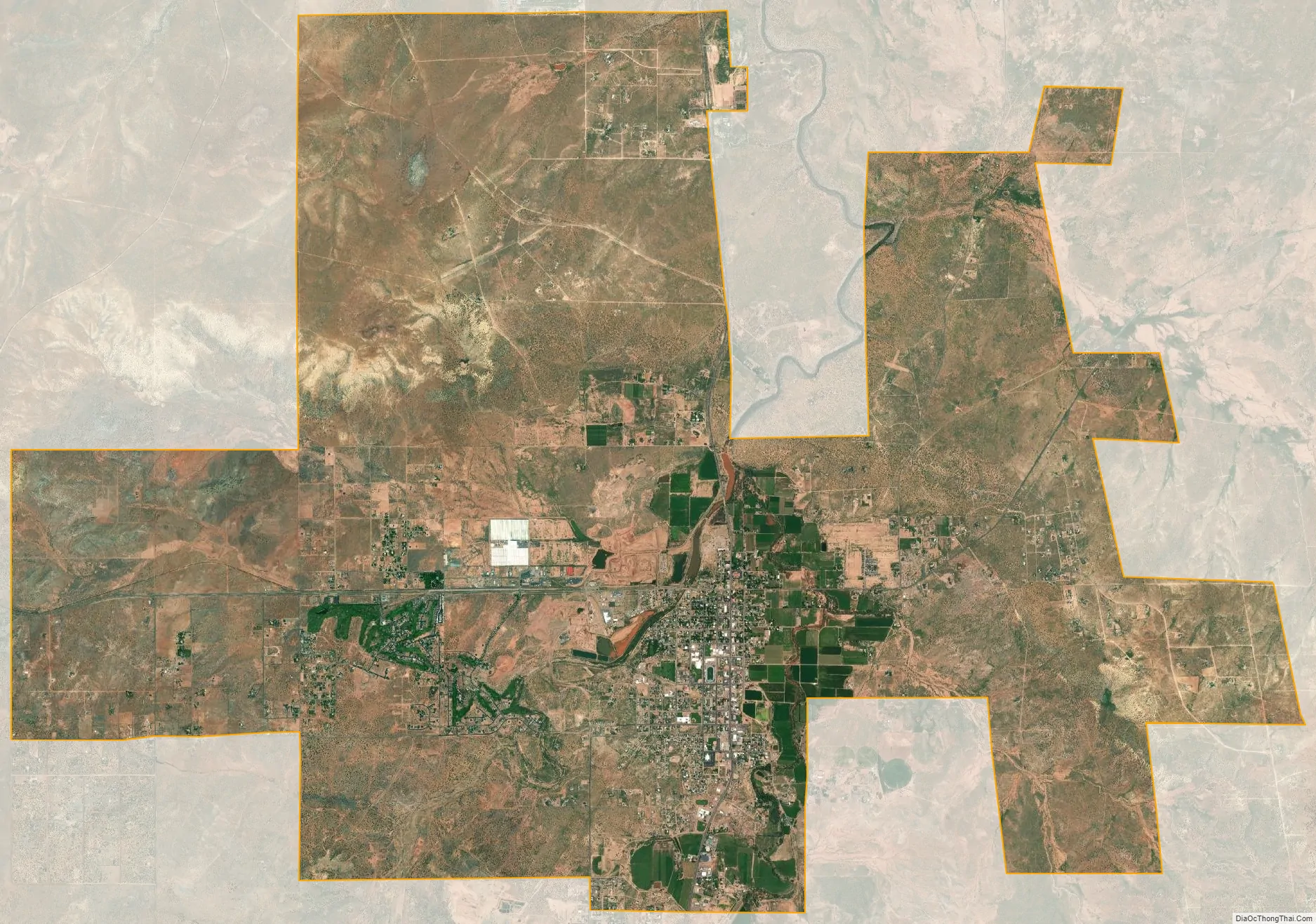
Snowflake city Satellite Map
Geography
Snowflake is located at 34°31′20″N 110°05′29″W / 34.52222°N 110.09139°W / 34.52222; -110.09139 (34.5223005, -110.0913752).
According to the United States Census Bureau, the town has a total area of 30.9 square miles (80 km), of which 30.8 square miles (80 km) are land and 0.1 square miles (0.26 km) (0.16%) are water.
See also
Map of Arizona State and its subdivision: Map of other states:- Alabama
- Alaska
- Arizona
- Arkansas
- California
- Colorado
- Connecticut
- Delaware
- District of Columbia
- Florida
- Georgia
- Hawaii
- Idaho
- Illinois
- Indiana
- Iowa
- Kansas
- Kentucky
- Louisiana
- Maine
- Maryland
- Massachusetts
- Michigan
- Minnesota
- Mississippi
- Missouri
- Montana
- Nebraska
- Nevada
- New Hampshire
- New Jersey
- New Mexico
- New York
- North Carolina
- North Dakota
- Ohio
- Oklahoma
- Oregon
- Pennsylvania
- Rhode Island
- South Carolina
- South Dakota
- Tennessee
- Texas
- Utah
- Vermont
- Virginia
- Washington
- West Virginia
- Wisconsin
- Wyoming