Strawberry is an unincorporated community and census-designated place (CDP) in Gila County, Arizona, United States. The population was 961 at the 2010 census.
| Name: | Strawberry CDP |
|---|---|
| LSAD Code: | 57 |
| LSAD Description: | CDP (suffix) |
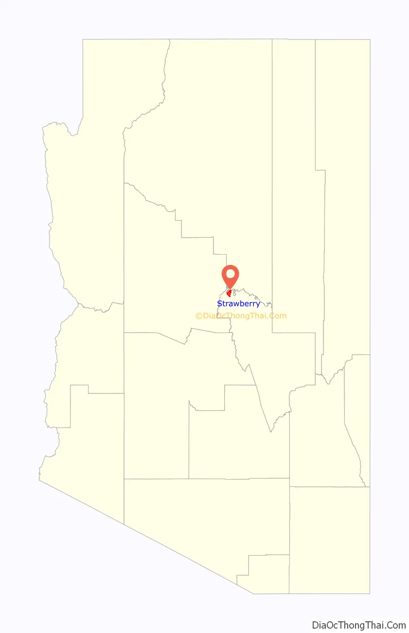
| State: | Arizona |
| County: | Gila County |
| Elevation: | 5,800 ft (1,800 m) |
| Total Area: | 11.53 sq mi (29.86 km²) |
| Land Area: | 11.52 sq mi (29.84 km²) |
| Water Area: | 0.01 sq mi (0.01 km²) |
| Total Population: | 943 |
| Population Density: | 81.84/sq mi (31.60/km²) |
| ZIP code: | 85544 |
| Area code: | 928 |
| FIPS code: | 0470040 |
| GNISfeature ID: | 34888 |
Online Interactive Map
Click on ![]() to view map in "full screen" mode.
to view map in "full screen" mode.
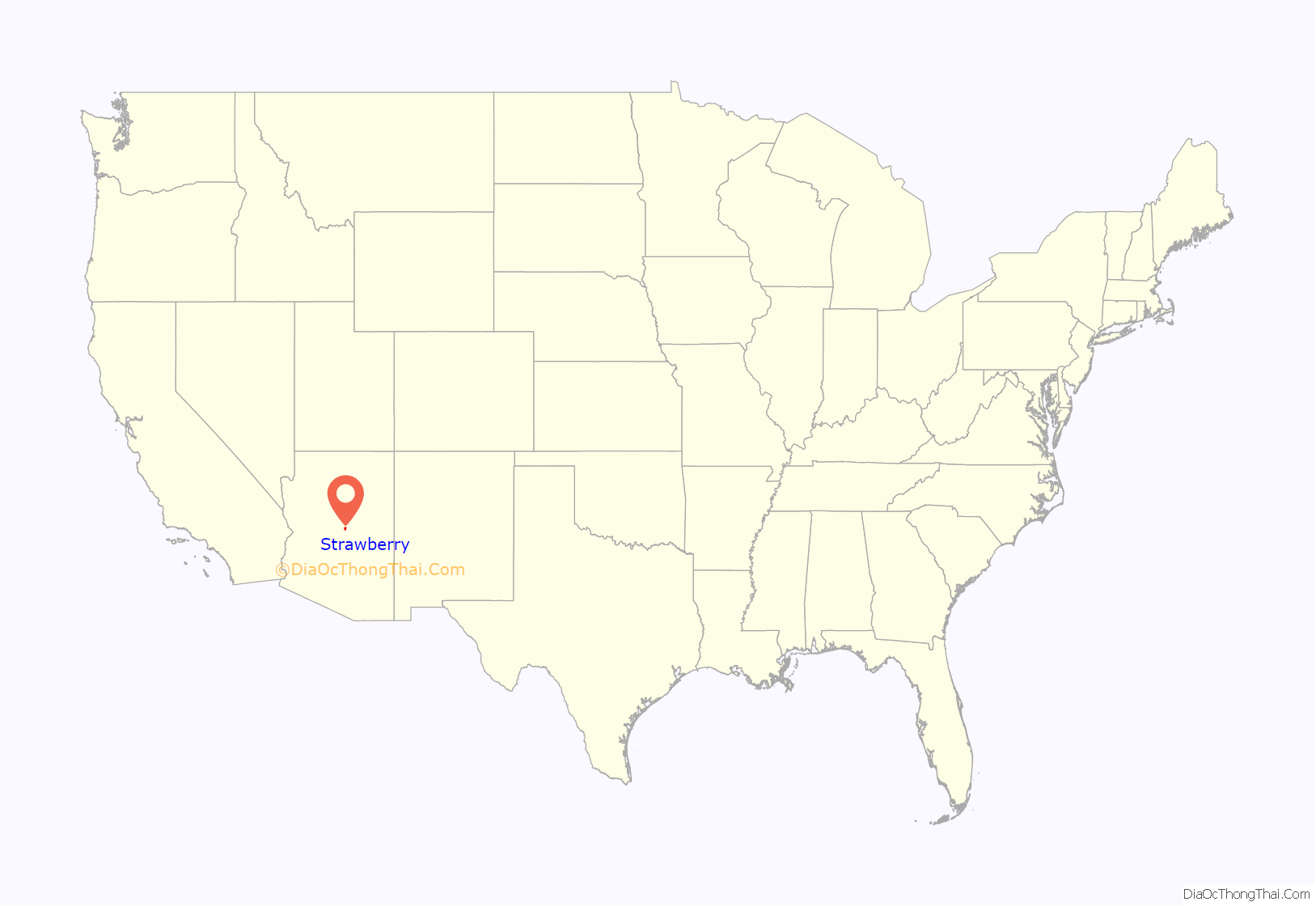
Strawberry location map. Where is Strawberry CDP?
History
In June 1931, the Bureau of Prohibition destroyed a large whiskey still in Sandrock Canyon, north of Strawberry. The still had an estimated worth of $20,000. Seven hundred gallons of “mountain whiskey” were destroyed and three men arrested.
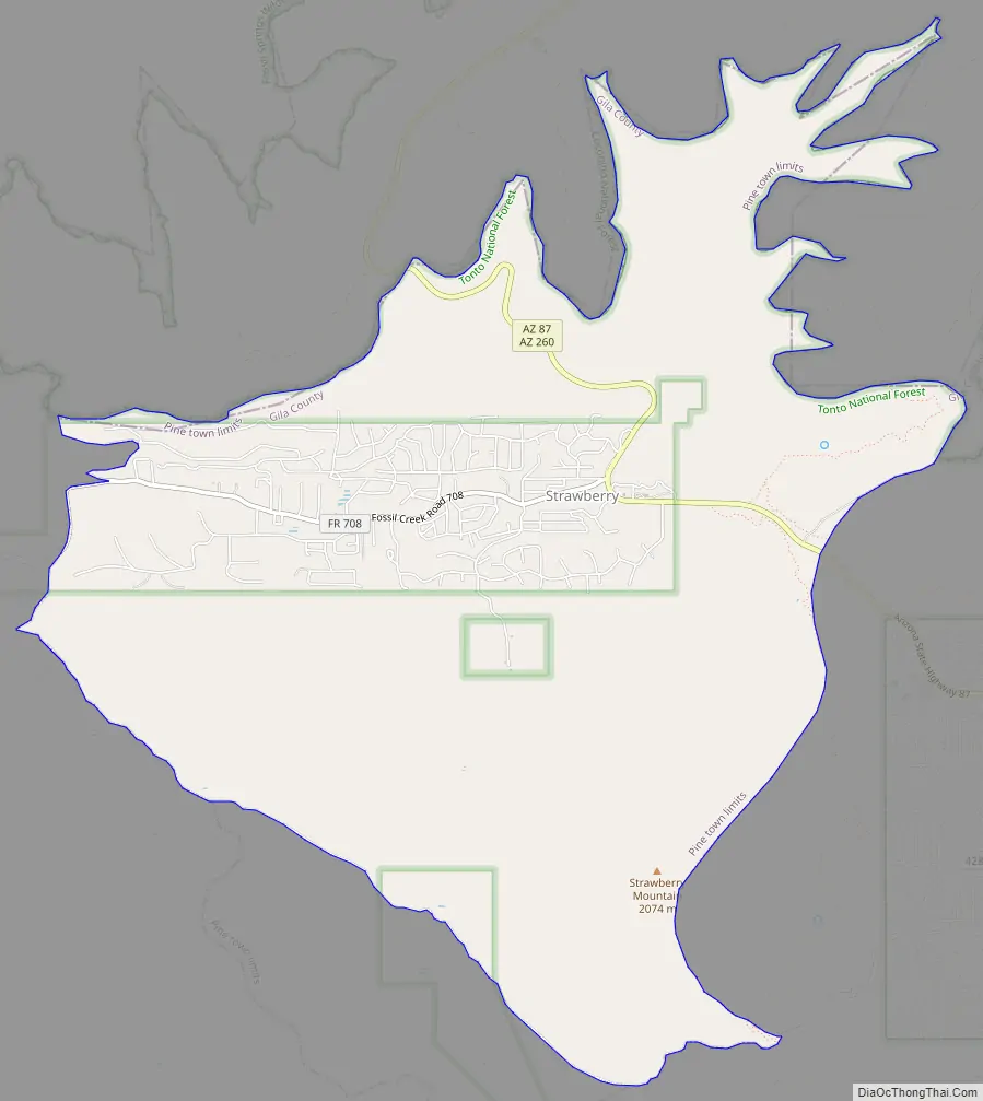
Strawberry Road Map
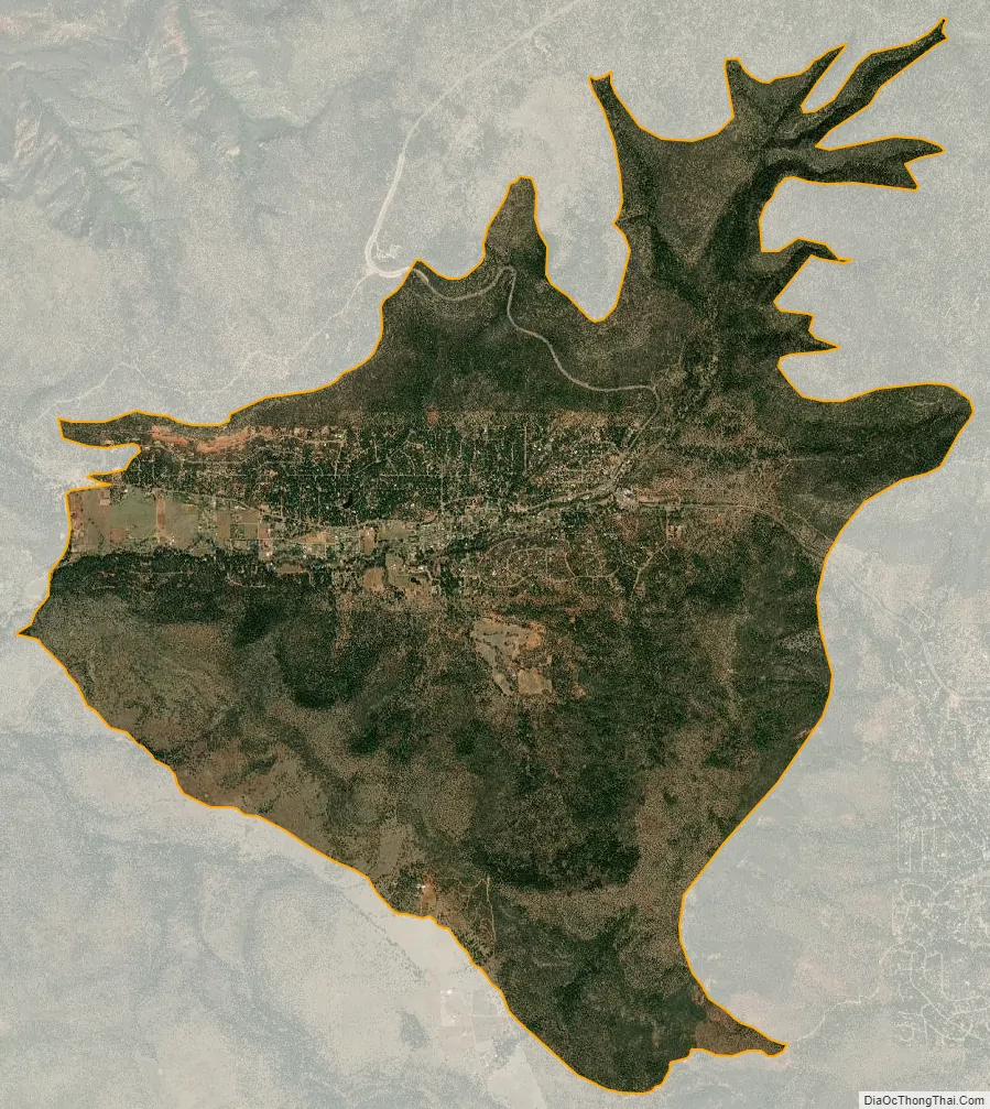
Strawberry city Satellite Map
Geography
Strawberry is located in the northwest corner of Gila County at 34°24′28″N 111°29′37″W / 34.40778°N 111.49361°W / 34.40778; -111.49361 (34.4078063, -111.4934754). It is bordered to the south and east by Pine, and to the north by Coconino County. The county line follows the edge of the Mogollon Rim.
Arizona State Route 87 passes through Strawberry. It is a two-hour drive—108 miles (174 km)—northeast from Phoenix. The town of Payson is 18 miles (29 km) southeast via Route 87, and Winslow is 71 miles (114 km) to the northeast.
According to the United States Census Bureau, the Strawberry CDP has a total area of 9.5 square miles (24.5 km), of which 0.004 square miles (0.01 km), or 0.04%, is water. The community is in the valley of Strawberry Creek, part of the Verde River watershed.
See also
Map of Arizona State and its subdivision: Map of other states:- Alabama
- Alaska
- Arizona
- Arkansas
- California
- Colorado
- Connecticut
- Delaware
- District of Columbia
- Florida
- Georgia
- Hawaii
- Idaho
- Illinois
- Indiana
- Iowa
- Kansas
- Kentucky
- Louisiana
- Maine
- Maryland
- Massachusetts
- Michigan
- Minnesota
- Mississippi
- Missouri
- Montana
- Nebraska
- Nevada
- New Hampshire
- New Jersey
- New Mexico
- New York
- North Carolina
- North Dakota
- Ohio
- Oklahoma
- Oregon
- Pennsylvania
- Rhode Island
- South Carolina
- South Dakota
- Tennessee
- Texas
- Utah
- Vermont
- Virginia
- Washington
- West Virginia
- Wisconsin
- Wyoming


