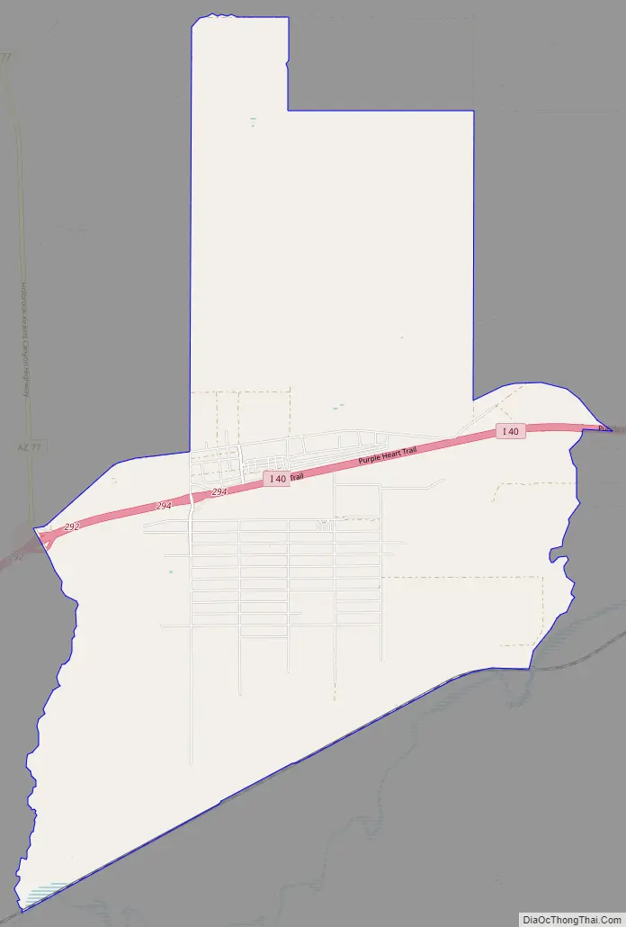
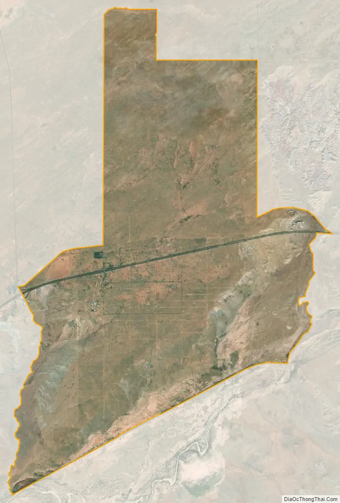
Sun Valley is a populated place in Navajo County, Arizona, United States, east of Holbrook along Interstate 40. It is located at 34°58′50″N 110°3′29″W / 34.98056°N 110.05806°W / 34.98056; -110.05806 in the Painted Desert and covers an area of 31.6 square miles.
| Name: | Sun Valley CDP |
|---|---|
| LSAD Code: | 57 |
| LSAD Description: | CDP (suffix) |
| State: | Arizona |
| County: | Navajo County |
| Elevation: | 5,282 ft (1,610 m) |
| Total Area: | 31.61 sq mi (81.87 km²) |
| Land Area: | 31.56 sq mi (81.74 km²) |
| Water Area: | 0.05 sq mi (0.13 km²) |
| Total Population: | 316 |
| ZIP code: | 86029 |
| Area code: | 928 |
| FIPS code: | 0471160 |
| GNISfeature ID: | 25324 |
Online Interactive Map
Click on ![]() to view map in "full screen" mode.
to view map in "full screen" mode.
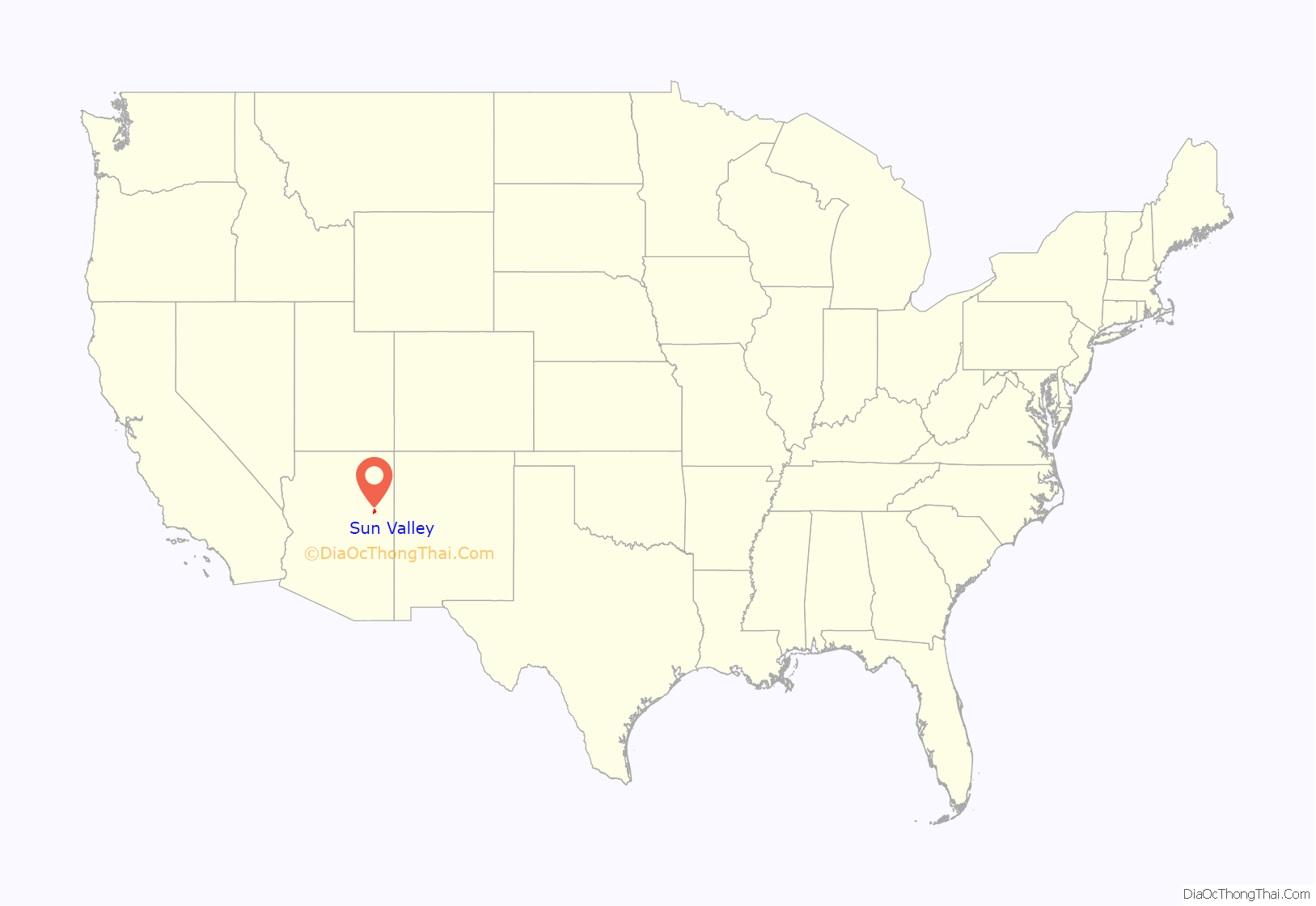
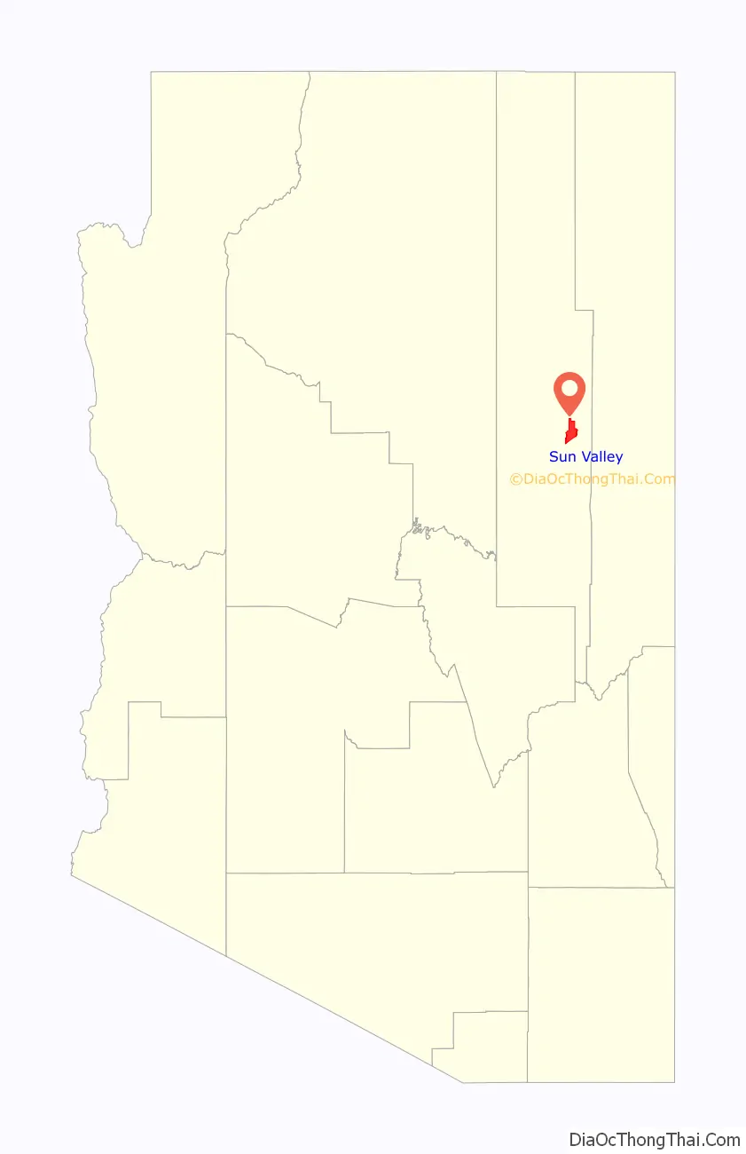
Sun Valley location map. Where is Sun Valley CDP?
History
“Sun Valley has always been a sleepy community along the old western highway of Old Route 66 and the newer Interstate 40. Not much is known about the settlement and how its roots began as a community, but it has and still remains largely rural and sparsely populated. Cattle Ranching has been one of the largest agricultural activity in the area. There are still some large tracts or ranch land around Sun Valley and cattle roam the open range of the landscape.”
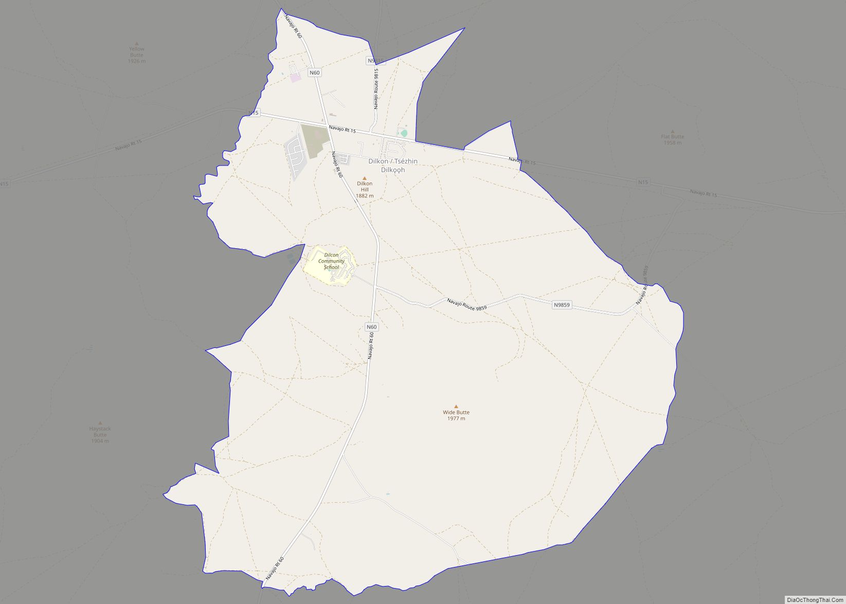
Sun Valley Road Map
Sun Valley city Satellite Map
See also
Map of Arizona State and its subdivision: Map of other states:- Alabama
- Alaska
- Arizona
- Arkansas
- California
- Colorado
- Connecticut
- Delaware
- District of Columbia
- Florida
- Georgia
- Hawaii
- Idaho
- Illinois
- Indiana
- Iowa
- Kansas
- Kentucky
- Louisiana
- Maine
- Maryland
- Massachusetts
- Michigan
- Minnesota
- Mississippi
- Missouri
- Montana
- Nebraska
- Nevada
- New Hampshire
- New Jersey
- New Mexico
- New York
- North Carolina
- North Dakota
- Ohio
- Oklahoma
- Oregon
- Pennsylvania
- Rhode Island
- South Carolina
- South Dakota
- Tennessee
- Texas
- Utah
- Vermont
- Virginia
- Washington
- West Virginia
- Wisconsin
- Wyoming