Taylor is a town in Navajo County, Arizona, United States. It was founded by Mormon settlers in January 1878, several months before the neighboring community of Snowflake. Taylor straddles Silver Creek, flowing from the nearby White Mountains to the Little Colorado River on Arizona’s Colorado Plateau. According to the 2010 census, the population of the town is 4,112. The town was named for John Taylor, the third president of the Church of Jesus Christ of Latter-day Saints.
There is no postal home delivery in Taylor. Residents within a certain radius of the Post Office who produce proof of Taylor residency are allocated a small PO box free of charge. Residents of Snowflake have postal delivery. Lack of postal delivery is also a problem when using services that validate postal addresses, as none will validate in Taylor.
| Name: | Taylor town |
|---|---|
| LSAD Code: | 43 |
| LSAD Description: | town (suffix) |
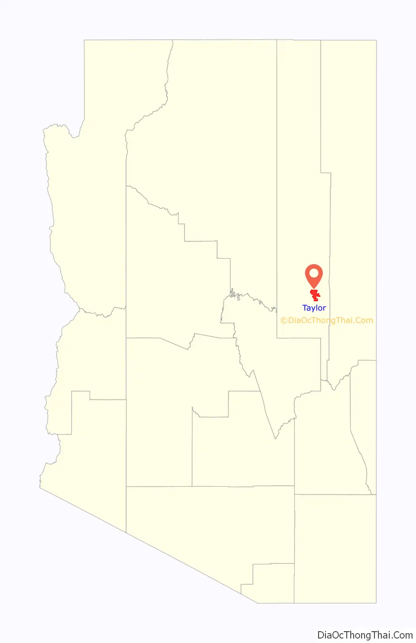
| State: | Arizona |
| County: | Navajo County |
| Elevation: | 5,761 ft (1,756 m) |
| Total Area: | 32.69 sq mi (84.65 km²) |
| Land Area: | 32.66 sq mi (84.60 km²) |
| Water Area: | 0.02 sq mi (0.06 km²) |
| Total Population: | 3,995 |
| Population Density: | 122.31/sq mi (47.22/km²) |
| ZIP code: | 85939 |
| Area code: | 928 |
| FIPS code: | 0472420 |
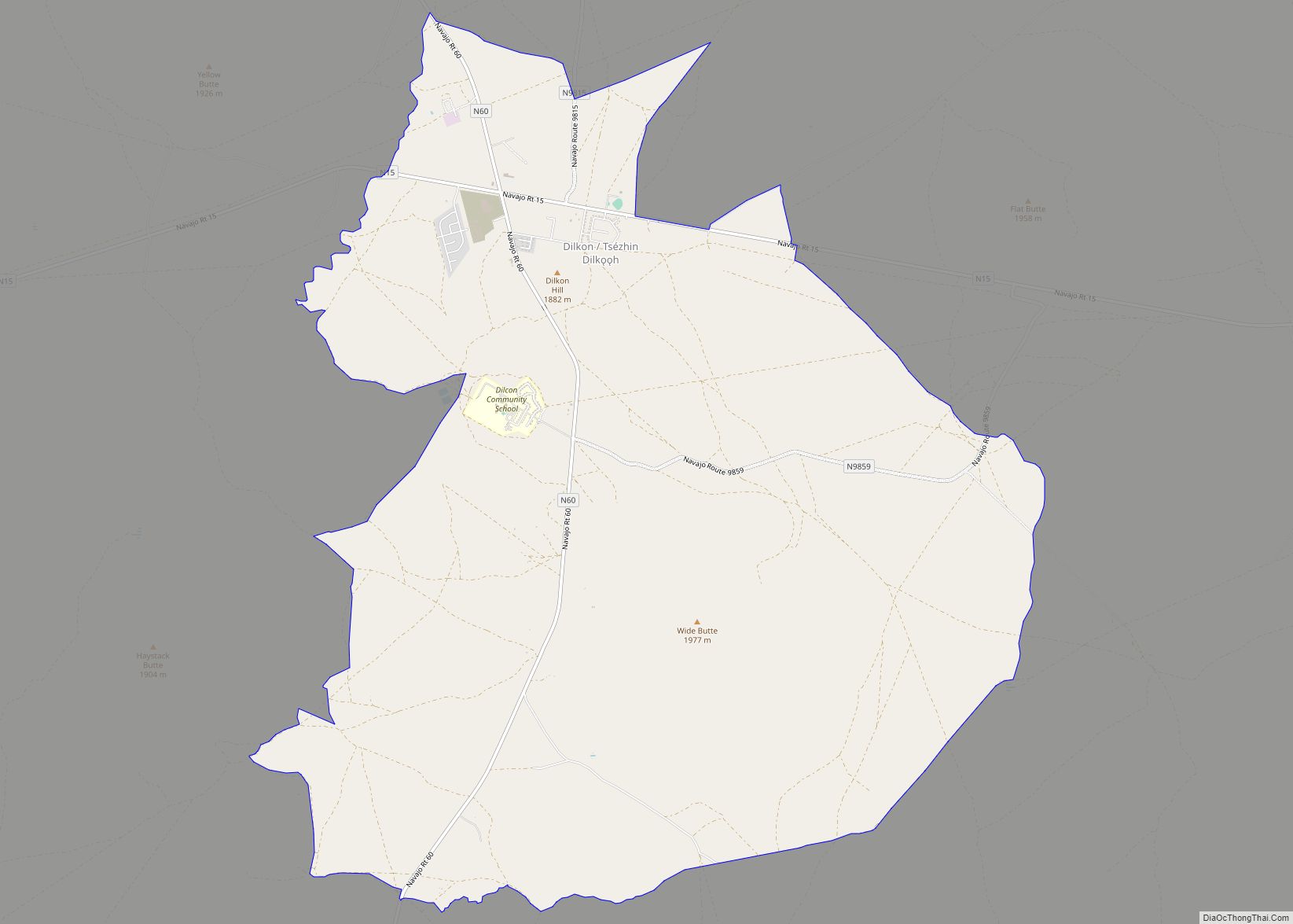
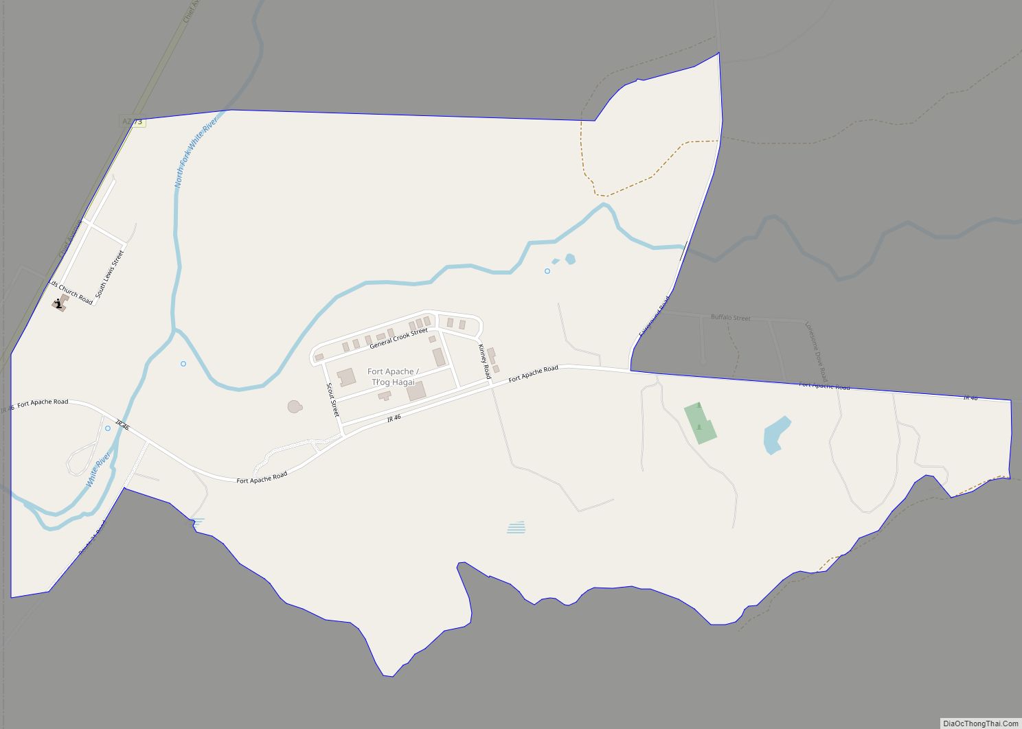
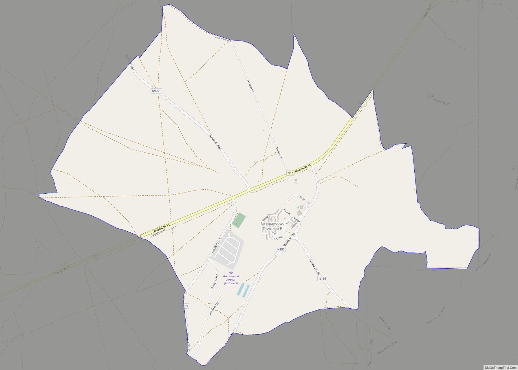
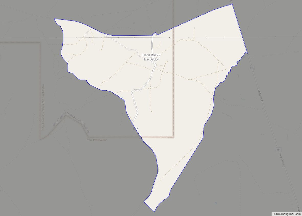
Online Interactive Map
Click on ![]() to view map in "full screen" mode.
to view map in "full screen" mode.
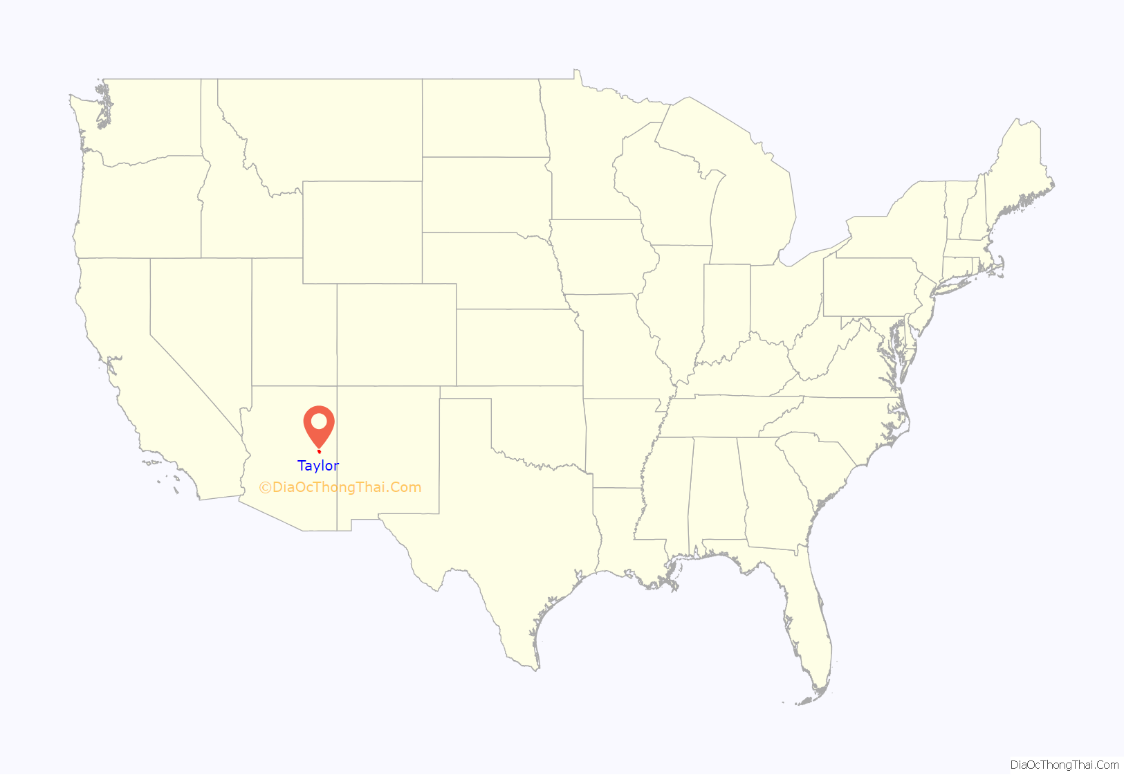
Taylor location map. Where is Taylor town?
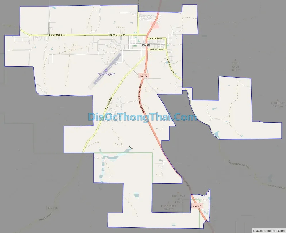
Taylor Road Map
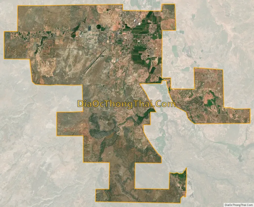
Taylor city Satellite Map
Geography
Taylor is located at 34°27′57″N 110°6′16″W / 34.46583°N 110.10444°W / 34.46583; -110.10444 (34.465762, -110.104385).
According to the United States Census Bureau, the town has a total area of 24.6 square miles (64 km), all land.
See also
Map of Arizona State and its subdivision: Map of other states:- Alabama
- Alaska
- Arizona
- Arkansas
- California
- Colorado
- Connecticut
- Delaware
- District of Columbia
- Florida
- Georgia
- Hawaii
- Idaho
- Illinois
- Indiana
- Iowa
- Kansas
- Kentucky
- Louisiana
- Maine
- Maryland
- Massachusetts
- Michigan
- Minnesota
- Mississippi
- Missouri
- Montana
- Nebraska
- Nevada
- New Hampshire
- New Jersey
- New Mexico
- New York
- North Carolina
- North Dakota
- Ohio
- Oklahoma
- Oregon
- Pennsylvania
- Rhode Island
- South Carolina
- South Dakota
- Tennessee
- Texas
- Utah
- Vermont
- Virginia
- Washington
- West Virginia
- Wisconsin
- Wyoming