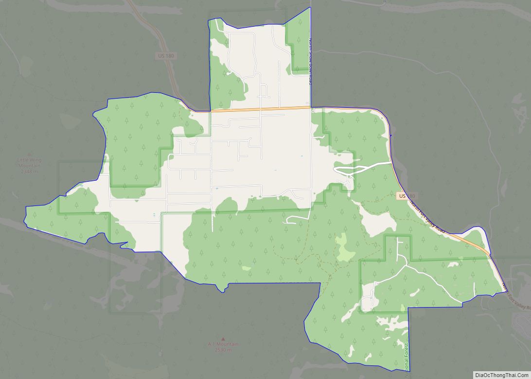
Valle (Grand Canyon Junction) is a census-designated place in Coconino County, Arizona, United States. As of the 2010 US Census the population of Valle was 832. It lies at an altitude of 5,994 feet (1,827 m), at the junction of U.S. Route 180 and State Route 64. Its attractions include the Valle Airport (40G), the Planes of Fame Air Museum, and Birds of Prey formally Flintstones Bedrock City amusement park. Drivers often stop at the town on their way to the Grand Canyon from either Williams or Flagstaff, as it is approximately at the halfway point.
| Name: | Valle CDP |
|---|---|
| LSAD Code: | 57 |
| LSAD Description: | CDP (suffix) |
| State: | Arizona |
| County: | Coconino County |
| Elevation: | 5,993 ft (1,827 m) |
| Total Area: | 372.00 sq mi (963.47 km²) |
| Land Area: | 371.98 sq mi (963.43 km²) |
| Water Area: | 0.02 sq mi (0.04 km²) |
| Total Population: | 759 |
| Population Density: | 2.04/sq mi (0.79/km²) |
| FIPS code: | 0478855 |
Online Interactive Map
Click on ![]() to view map in "full screen" mode.
to view map in "full screen" mode.
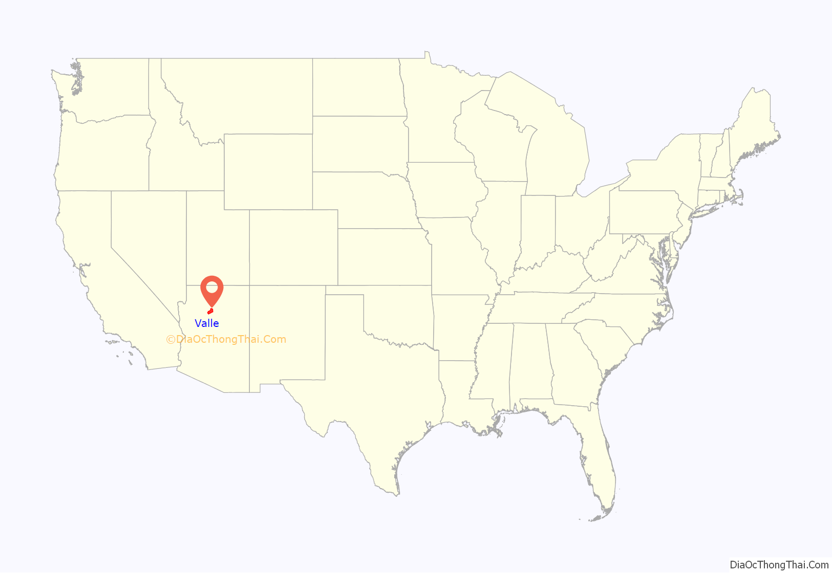
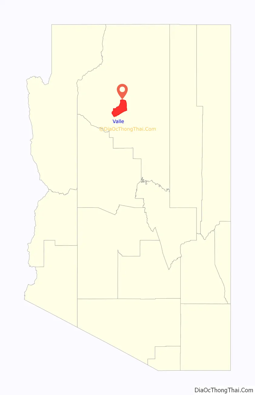
Valle location map. Where is Valle CDP?
Valle Road Map
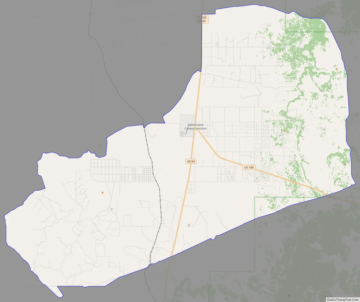
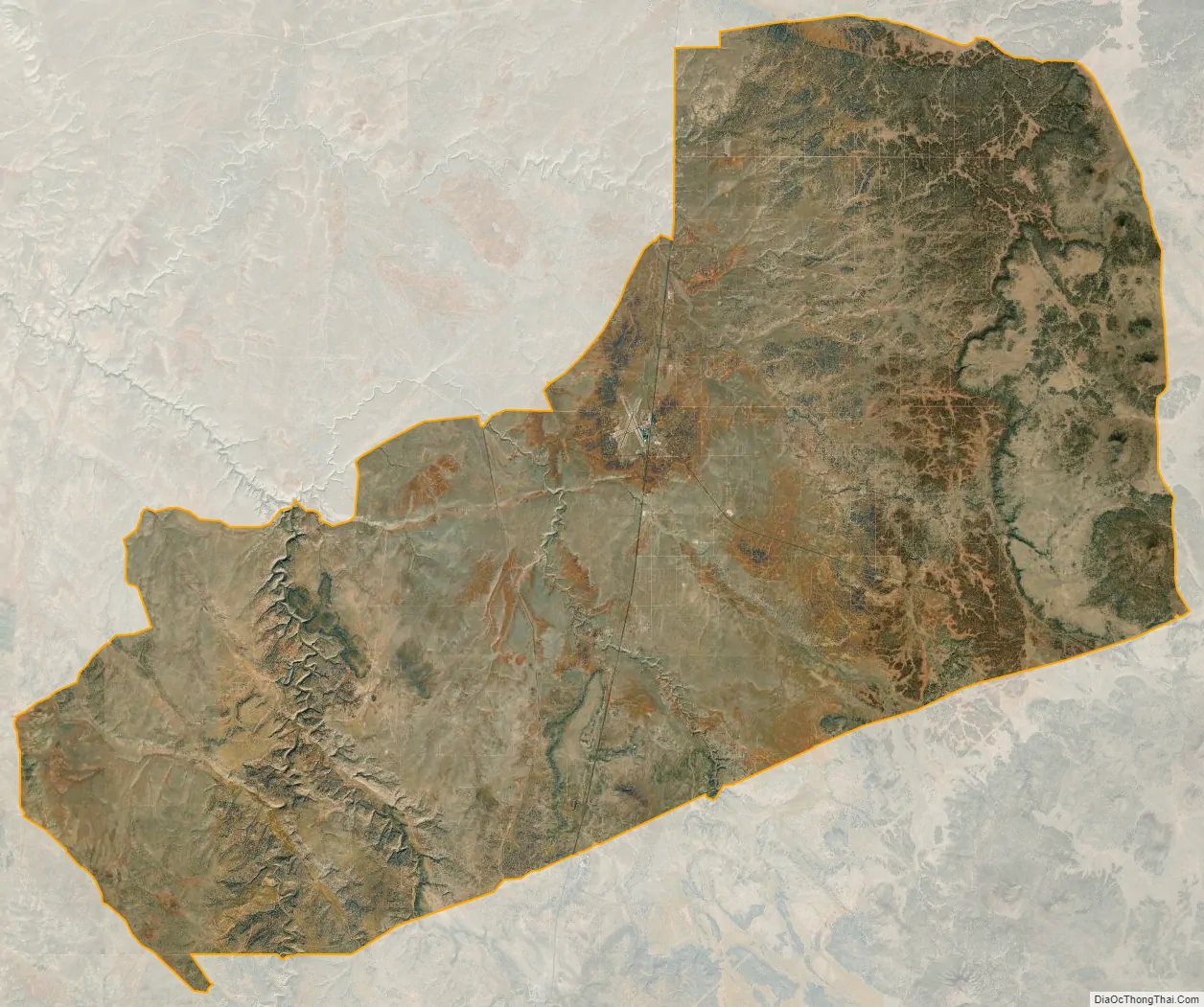
Valle city Satellite Map
See also
Map of Arizona State and its subdivision: Map of other states:- Alabama
- Alaska
- Arizona
- Arkansas
- California
- Colorado
- Connecticut
- Delaware
- District of Columbia
- Florida
- Georgia
- Hawaii
- Idaho
- Illinois
- Indiana
- Iowa
- Kansas
- Kentucky
- Louisiana
- Maine
- Maryland
- Massachusetts
- Michigan
- Minnesota
- Mississippi
- Missouri
- Montana
- Nebraska
- Nevada
- New Hampshire
- New Jersey
- New Mexico
- New York
- North Carolina
- North Dakota
- Ohio
- Oklahoma
- Oregon
- Pennsylvania
- Rhode Island
- South Carolina
- South Dakota
- Tennessee
- Texas
- Utah
- Vermont
- Virginia
- Washington
- West Virginia
- Wisconsin
- Wyoming