Williams (Havasupai: Wii Gvʼul) is a city in Coconino County, Arizona, United States, located west of Flagstaff. Its population was 3,023 at the 2010 census. It lies on the routes of Historic Route 66 and Interstate 40. It is also the southern terminus of the Grand Canyon Railway, which takes visitors to Grand Canyon Village. There are numerous inns, motels, restaurants and gas stations catering to the large influx of tourists rather than local residents, especially during the summer and holiday seasons.
Also known as the “Gateway to the Grand Canyon”, Williams was the last city on Historic Route 66 to be bypassed by Interstate 40. The community, bypassed on October 13, 1984, continues to thrive on tourism. Boasting seven fishing lakes in the area, hiking trails up Bill Williams Mountain and into Sycamore Canyon, an alpine ski area and cross country ski trails, four-seasons weather and an abundance of wildlife, Williams offers unlimited recreational opportunities for the outdoor enthusiast.
The Historic Downtown District covers six square blocks. Williams boasts a rich heritage that features the Old West and Route 66, coupled with tourism trends today and the city’s heyday years of the ’50s and ’60s.
| Name: | Williams city |
|---|---|
| LSAD Code: | 25 |
| LSAD Description: | city (suffix) |
| State: | Arizona |
| County: | Coconino County |
| Incorporated: | July 9, 1901 |
| Elevation: | 6,766 ft (2,062 m) |
| Total Area: | 44.17 sq mi (114.41 km²) |
| Land Area: | 43.83 sq mi (113.52 km²) |
| Water Area: | 0.34 sq mi (0.89 km²) |
| Total Population: | 3,202 |
| Population Density: | 73.06/sq mi (28.21/km²) |
| ZIP code: | 86046 |
| Area code: | 928 |
| FIPS code: | 0483160 |
| GNISfeature ID: | 36208 |
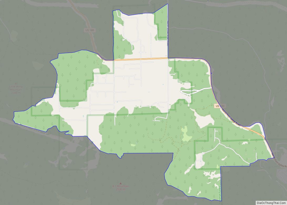
Online Interactive Map
Click on ![]() to view map in "full screen" mode.
to view map in "full screen" mode.
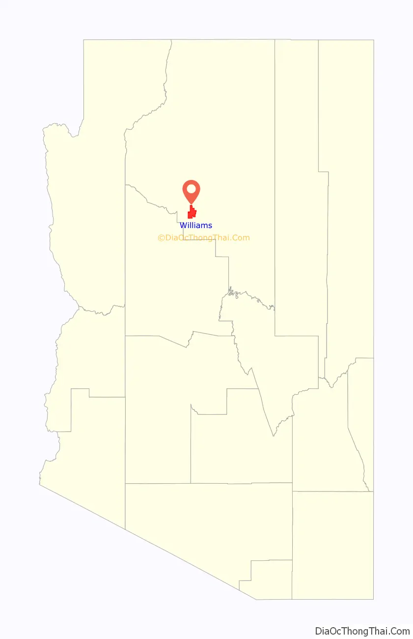
Williams location map. Where is Williams city?

History
Founded in 1881, Williams was named for William Sherley “Old Bill” Williams (1787–1849), a famous trapper, trader, scout and mountain man, who often trapped in the area. A statue of “Old Bill” stands in Monument Park, located on the west side of the city. The large mountain directly to the south is named Bill Williams Mountain. The city was incorporated on July 9, 1901.
Williams was the last city whose section of Route 66 was bypassed, due to lawsuits that kept the last section of Interstate 40 in Arizona from being built around the city. After settlements called for the state to build three Williams exits, the suits were dropped and I-40 was completed. On October 13, 1984, Interstate 40 was opened around the town and newspapers the next day reported the essential end of US 66. The following year, Route 66 was decommissioned.
The Williams Historic Business District and Urban Route 66, Williams were added to the National Register of Historic Places in 1984 and 1989, respectively.
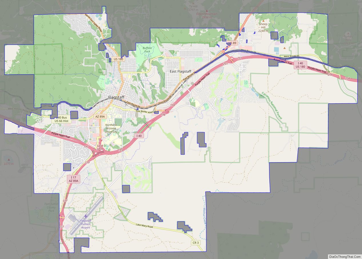
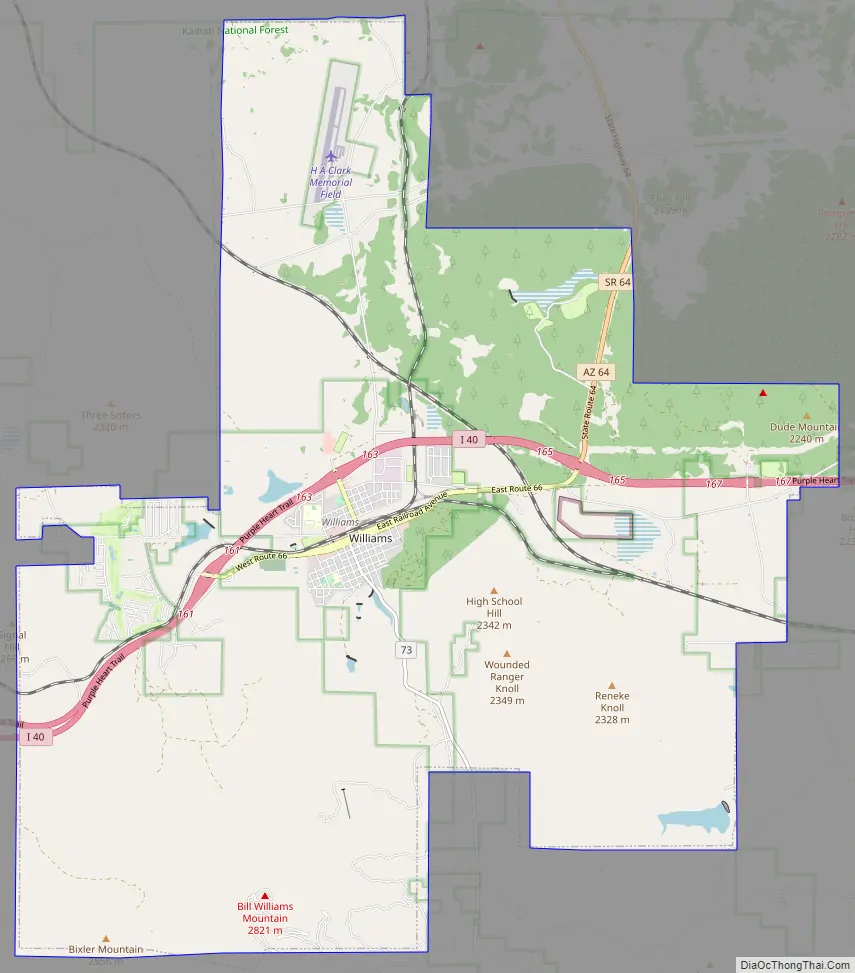
Williams Road Map
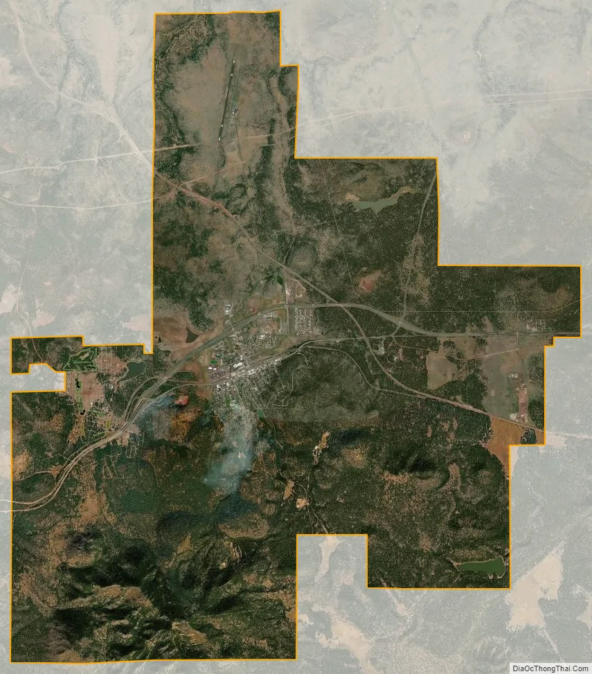
Williams city Satellite Map
Geography
Williams is located at 35°14′58″N 112°11′24″W / 35.24944°N 112.19000°W / 35.24944; -112.19000 (35.249369, −112.189872) at 6,800 feet (2,100 m) in elevation. Bill Williams Mountain rises to an elevation of 9,256 feet (2,821 m) just south of Williams. According to the United States Census Bureau, the city has a total area of 43.8 square miles (113 km), of which 43.5 square miles (113 km) is land and 0.3 square miles (0.78 km), or 0.66%, is water.
Climate
On average in Williams, December is the coldest month, July is the warmest month, and August is the wettest month. The hottest temperature recorded in Williams was 102 °F (39 °C) in 1909; the coldest temperature recorded was −25 °F (−32 °C) in 1937.
See also
Map of Arizona State and its subdivision: Map of other states:- Alabama
- Alaska
- Arizona
- Arkansas
- California
- Colorado
- Connecticut
- Delaware
- District of Columbia
- Florida
- Georgia
- Hawaii
- Idaho
- Illinois
- Indiana
- Iowa
- Kansas
- Kentucky
- Louisiana
- Maine
- Maryland
- Massachusetts
- Michigan
- Minnesota
- Mississippi
- Missouri
- Montana
- Nebraska
- Nevada
- New Hampshire
- New Jersey
- New Mexico
- New York
- North Carolina
- North Dakota
- Ohio
- Oklahoma
- Oregon
- Pennsylvania
- Rhode Island
- South Carolina
- South Dakota
- Tennessee
- Texas
- Utah
- Vermont
- Virginia
- Washington
- West Virginia
- Wisconsin
- Wyoming