Vernon is an unincorporated community and census-designated place (CDP) in Apache County, Arizona, United States. As of the 2010 census it had a population of 122. Vernon is 19 miles (31 km) east of Show Low. Vernon has a post office with ZIP code 85940.
Vernon was settled by B.H. Wilhelm Jr, who named it in 1894 for William Tecumseh Vernon. It was important at first as a sawmill town, but as activity diminished, people moved away. It had been a Mormon ward, but they disbanded it in 1954, when the sawmill business finally moved to the vicinity of Lakeside.
It is east of Show Low.
| Name: | Vernon CDP |
|---|---|
| LSAD Code: | 57 |
| LSAD Description: | CDP (suffix) |
| State: | Arizona |
| County: | Apache County |
| Elevation: | 6,913 ft (2,107 m) |
| Total Area: | 0.57 sq mi (1.47 km²) |
| Land Area: | 0.57 sq mi (1.47 km²) |
| Water Area: | 0.00 sq mi (0.00 km²) |
| Total Population: | 126 |
| Population Density: | 222.61/sq mi (85.93/km²) |
| ZIP code: | 85940 |
| Area code: | 928 |
| FIPS code: | 0479870 |
| GNISfeature ID: | 35771 |
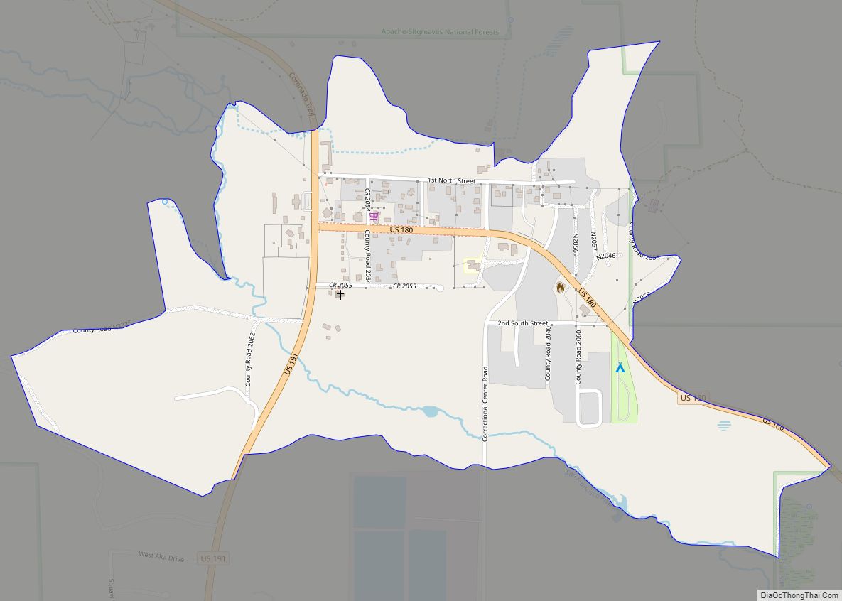
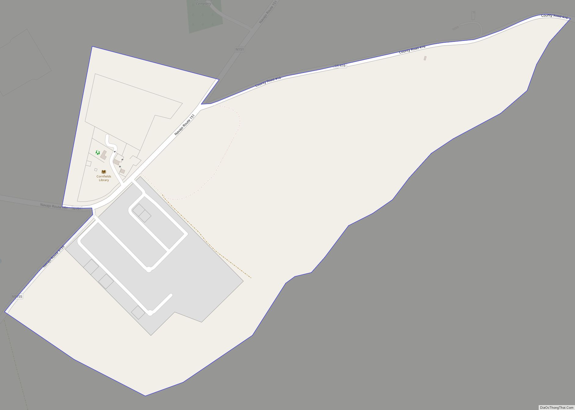
Online Interactive Map
Click on ![]() to view map in "full screen" mode.
to view map in "full screen" mode.
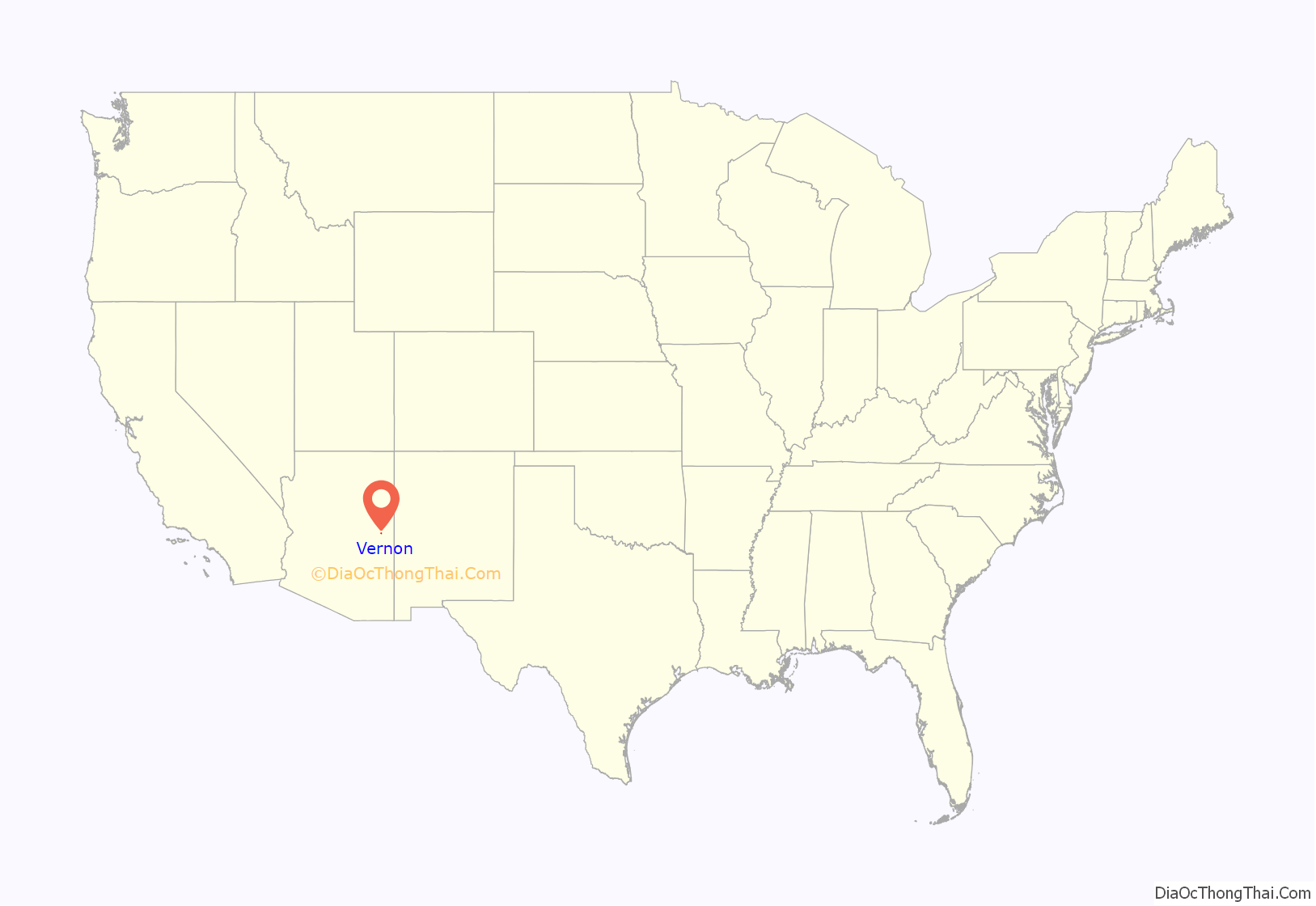
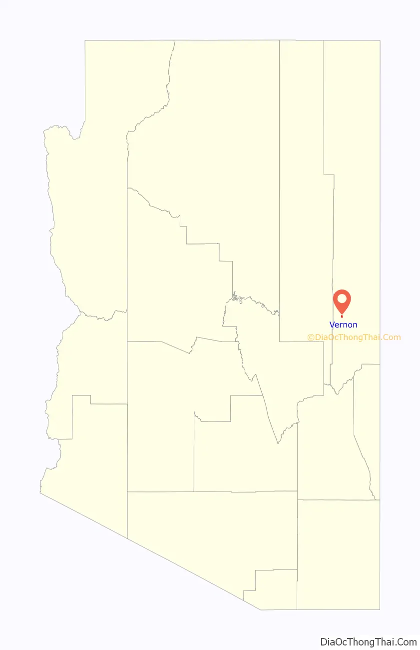
Vernon location map. Where is Vernon CDP?
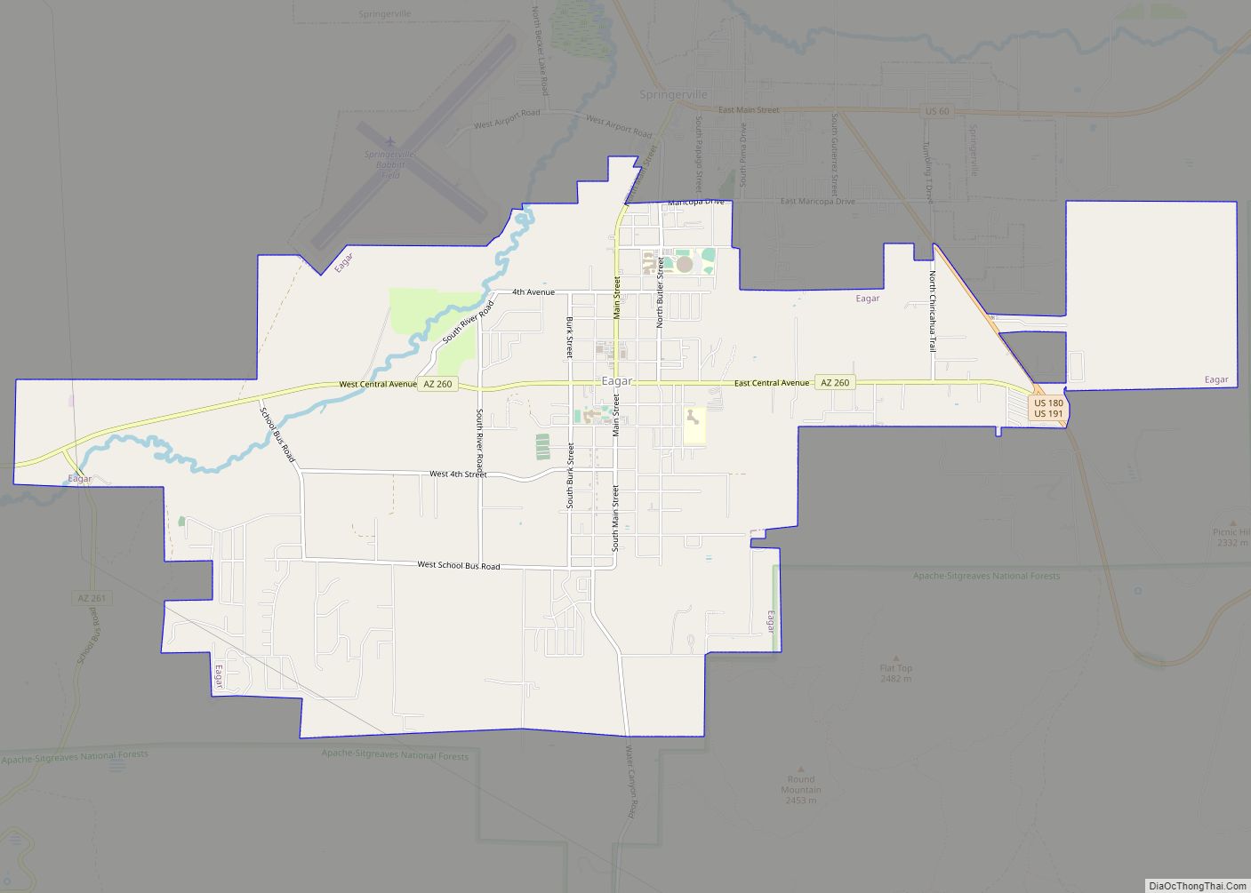
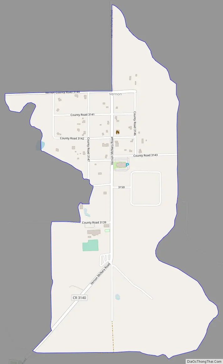
Vernon Road Map
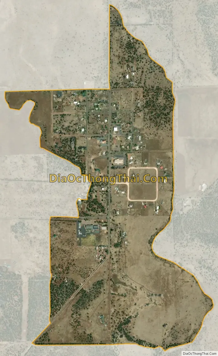
Vernon city Satellite Map
See also
Map of Arizona State and its subdivision: Map of other states:- Alabama
- Alaska
- Arizona
- Arkansas
- California
- Colorado
- Connecticut
- Delaware
- District of Columbia
- Florida
- Georgia
- Hawaii
- Idaho
- Illinois
- Indiana
- Iowa
- Kansas
- Kentucky
- Louisiana
- Maine
- Maryland
- Massachusetts
- Michigan
- Minnesota
- Mississippi
- Missouri
- Montana
- Nebraska
- Nevada
- New Hampshire
- New Jersey
- New Mexico
- New York
- North Carolina
- North Dakota
- Ohio
- Oklahoma
- Oregon
- Pennsylvania
- Rhode Island
- South Carolina
- South Dakota
- Tennessee
- Texas
- Utah
- Vermont
- Virginia
- Washington
- West Virginia
- Wisconsin
- Wyoming