Wellton is a town in Yuma County, Arizona, United States. According to the 2010 census, the population of the town is 2,882. It is part of the Yuma Metropolitan Statistical Area.
| Name: | Wellton town |
|---|---|
| LSAD Code: | 43 |
| LSAD Description: | town (suffix) |
| State: | Arizona |
| County: | Yuma County |
| Incorporated: | 1970 |
| Elevation: | 246 ft (75 m) |
| Total Area: | 28.88 sq mi (74.79 km²) |
| Land Area: | 28.88 sq mi (74.79 km²) |
| Water Area: | 0.00 sq mi (0.00 km²) |
| Total Population: | 2,375 |
| Population Density: | 82.25/sq mi (31.75/km²) |
| ZIP code: | 85356 |
| Area code: | 928 |
| FIPS code: | 0481480 |
| GNISfeature ID: | 13463 |
| Website: | http://www.town.wellton.az.us/ |
Online Interactive Map
Click on ![]() to view map in "full screen" mode.
to view map in "full screen" mode.
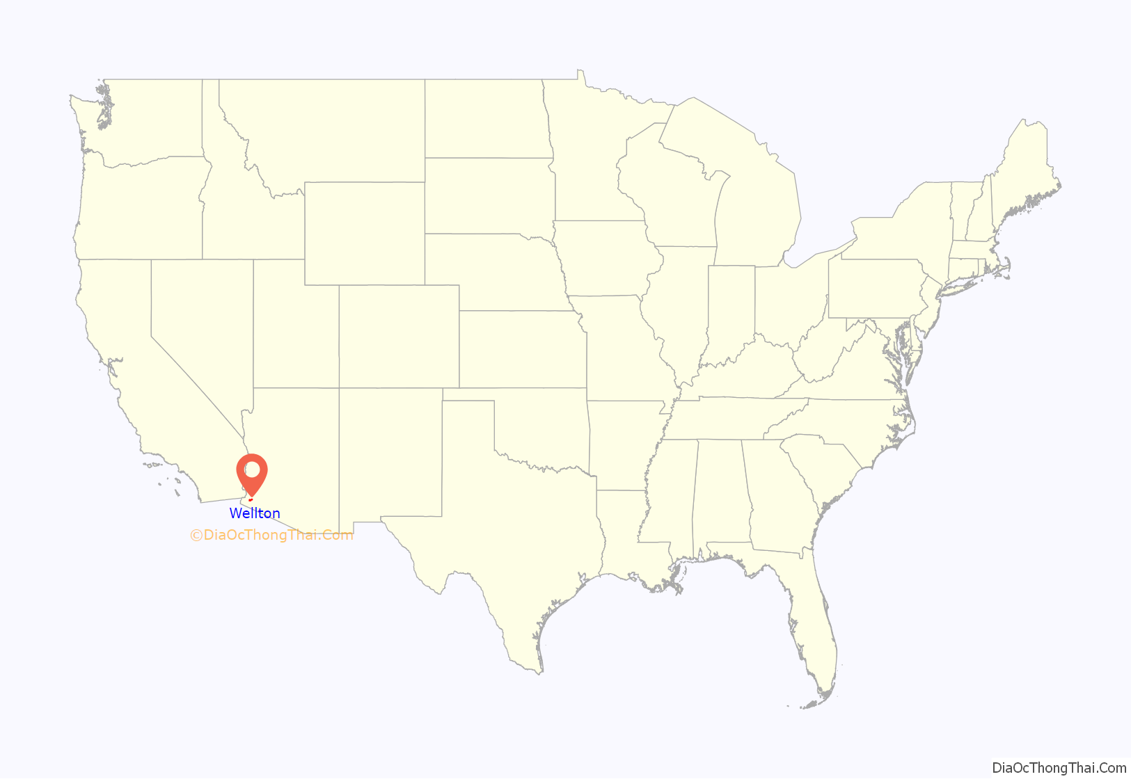
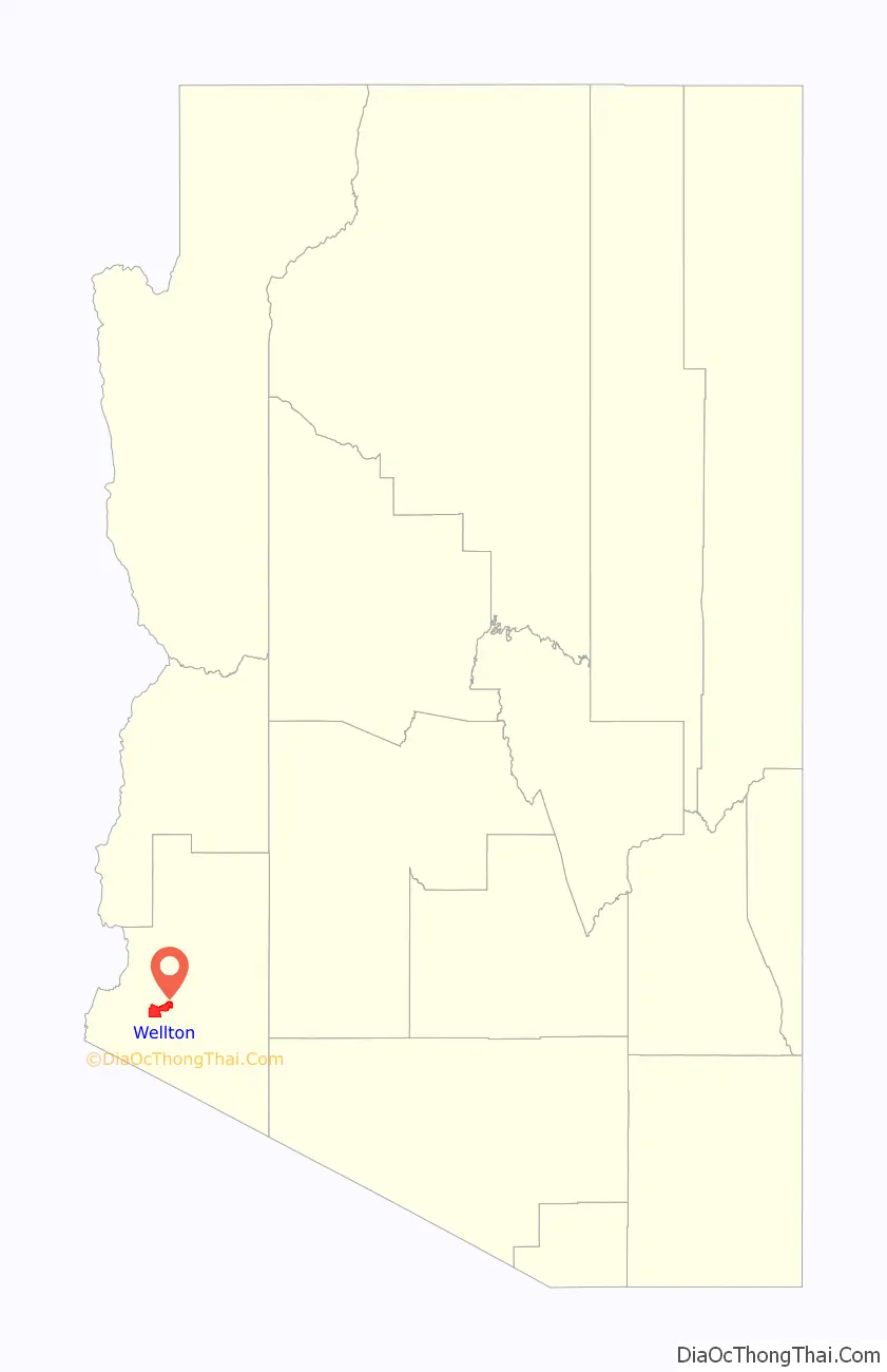
Wellton location map. Where is Wellton town?
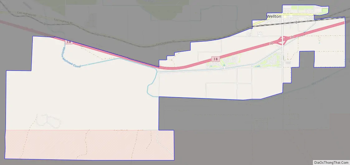
Wellton Road Map
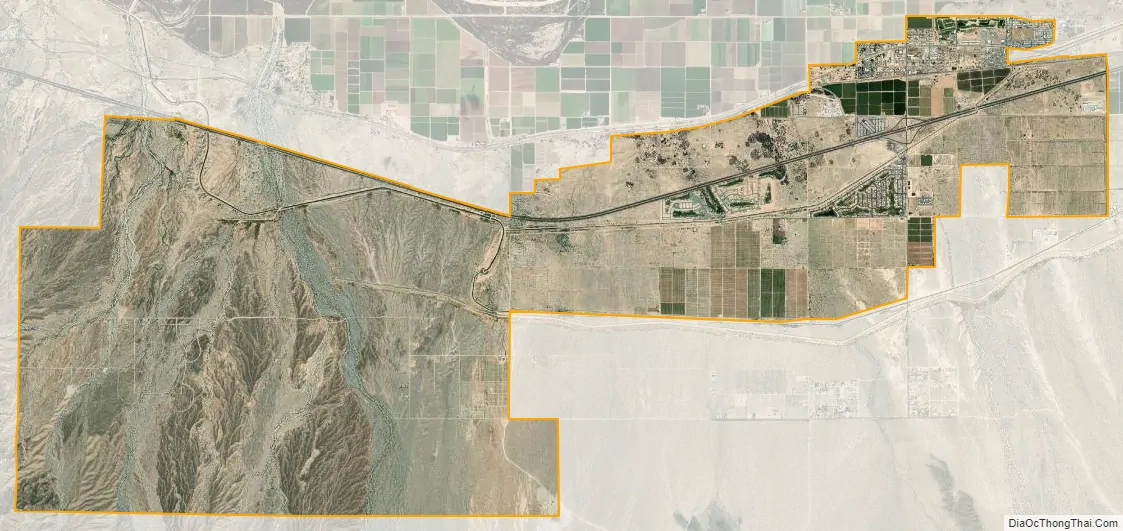
Wellton city Satellite Map
Geography
Wellton is located at 32°40′17″N 114°8′27″W / 32.67139°N 114.14083°W / 32.67139; -114.14083 (32.671436, -114.140972).
According to the United States Census Bureau, the town has a total area of 2.5 square miles (6.5 km), all land.
Wellton is located along Interstate 8 and the former route of U.S. Route 80. It is a junction on the Union Pacific Railroad (formerly Southern Pacific), where the lines to Phoenix and Maricopa diverge. Amtrak’s Sunset Limited and Texas Eagle pass through the town without stopping. The town was named after the wells providing water for the railroad.
See also
Map of Arizona State and its subdivision: Map of other states:- Alabama
- Alaska
- Arizona
- Arkansas
- California
- Colorado
- Connecticut
- Delaware
- District of Columbia
- Florida
- Georgia
- Hawaii
- Idaho
- Illinois
- Indiana
- Iowa
- Kansas
- Kentucky
- Louisiana
- Maine
- Maryland
- Massachusetts
- Michigan
- Minnesota
- Mississippi
- Missouri
- Montana
- Nebraska
- Nevada
- New Hampshire
- New Jersey
- New Mexico
- New York
- North Carolina
- North Dakota
- Ohio
- Oklahoma
- Oregon
- Pennsylvania
- Rhode Island
- South Carolina
- South Dakota
- Tennessee
- Texas
- Utah
- Vermont
- Virginia
- Washington
- West Virginia
- Wisconsin
- Wyoming


