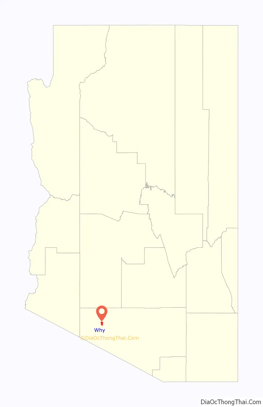
Why is an unincorporated rural community in Pima County, Arizona, United States. It lies near the western border of the Tohono Oʼodham Indian Reservation and due north of Organ Pipe Cactus National Monument in Southern Arizona. It is approximately 30 miles (48 km) north of the Mexican border where Lukeville, Arizona, and Sonoyta, Sonora, Mexico, border each other, and 10 miles (16 km) south of Ajo, Arizona.
The population in Why at the 2010 census was approximately 167.
| Name: | Why CDP |
|---|---|
| LSAD Code: | 57 |
| LSAD Description: | CDP (suffix) |
| State: | Arizona |
| County: | Pima County |
| FIPS code: | 0482670 |
Online Interactive Map
Click on ![]() to view map in "full screen" mode.
to view map in "full screen" mode.
Why location map. Where is Why CDP?

History
The town derives its name from the fact that two major highways, State Routes 85 and 86, originally intersected in a Y-intersection. At the time of its naming, state law required all city names to have at least three letters, so the town’s founders named the town “Why” as opposed to simply calling it “Y.” The Arizona Department of Transportation (ADOT) later removed the old Y-intersection for traffic safety reasons and built the two highways in a conventional intersection south of the original intersection.
It has frequently been noted on lists of unusual place names.
Why Road Map
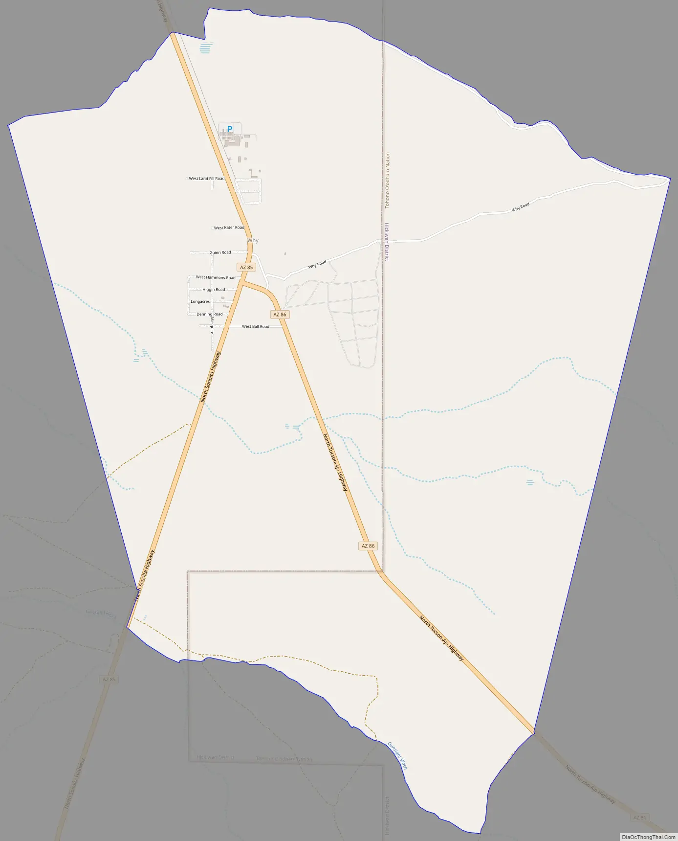
Why city Satellite Map

See also
Map of Arizona State and its subdivision: Map of other states:- Alabama
- Alaska
- Arizona
- Arkansas
- California
- Colorado
- Connecticut
- Delaware
- District of Columbia
- Florida
- Georgia
- Hawaii
- Idaho
- Illinois
- Indiana
- Iowa
- Kansas
- Kentucky
- Louisiana
- Maine
- Maryland
- Massachusetts
- Michigan
- Minnesota
- Mississippi
- Missouri
- Montana
- Nebraska
- Nevada
- New Hampshire
- New Jersey
- New Mexico
- New York
- North Carolina
- North Dakota
- Ohio
- Oklahoma
- Oregon
- Pennsylvania
- Rhode Island
- South Carolina
- South Dakota
- Tennessee
- Texas
- Utah
- Vermont
- Virginia
- Washington
- West Virginia
- Wisconsin
- Wyoming


