Woodruff is an unincorporated community in Navajo County, Arizona, United States. Woodruff is 10.5 miles (16.9 km) southeast of Holbrook. Woodruff has a post office with ZIP code 85942.
Woodruff was settled in 1876 by a group of members of the Church of Jesus Christ of Latter-day Saints led by Nathan Tenney and including Tenney’s son Ammon M. Tenney. It was initially called Tenney’s Settlement. In 1878 Lorenzo H. Hatch became the head of the LDS branch there. At that point it was named Woodruff after Wilford Woodruff.
| Name: | Woodruff CDP |
|---|---|
| LSAD Code: | 57 |
| LSAD Description: | CDP (suffix) |
| State: | Arizona |
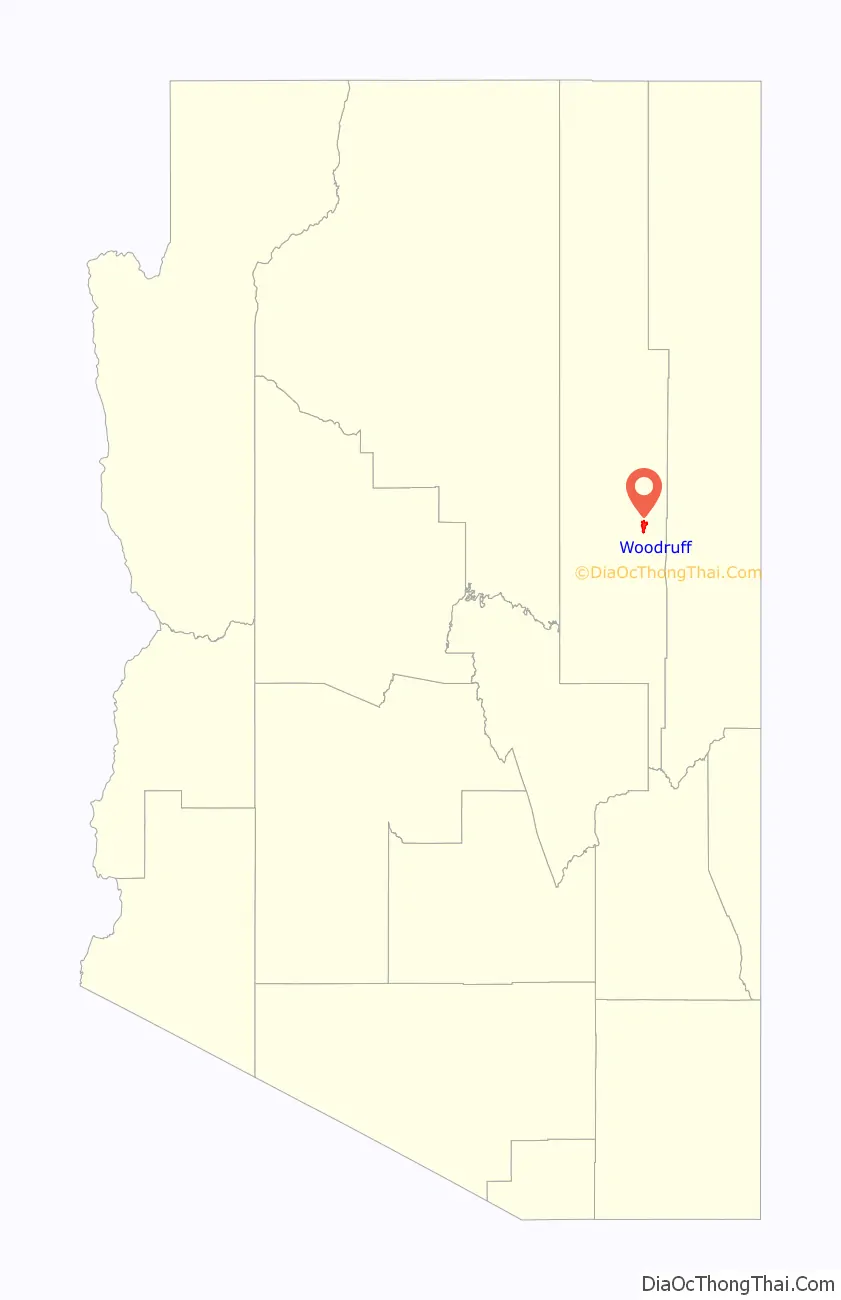
| County: | Navajo County |
| Elevation: | 5,144 ft (1,568 m) |
| Total Area: | 5.78 sq mi (14.98 km²) |
| Land Area: | 5.77 sq mi (14.94 km²) |
| Water Area: | 0.01 sq mi (0.04 km²) |
| Total Population: | 191 |
| ZIP code: | 85942 |
| Area code: | 928 |
| FIPS code: | 0484350 |
| GNISfeature ID: | 13993 |
Online Interactive Map
Click on ![]() to view map in "full screen" mode.
to view map in "full screen" mode.
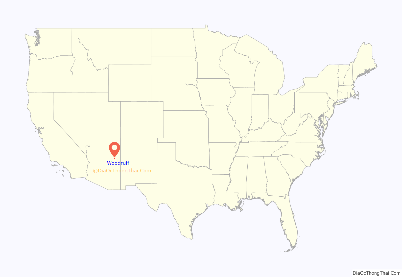
Woodruff location map. Where is Woodruff CDP?
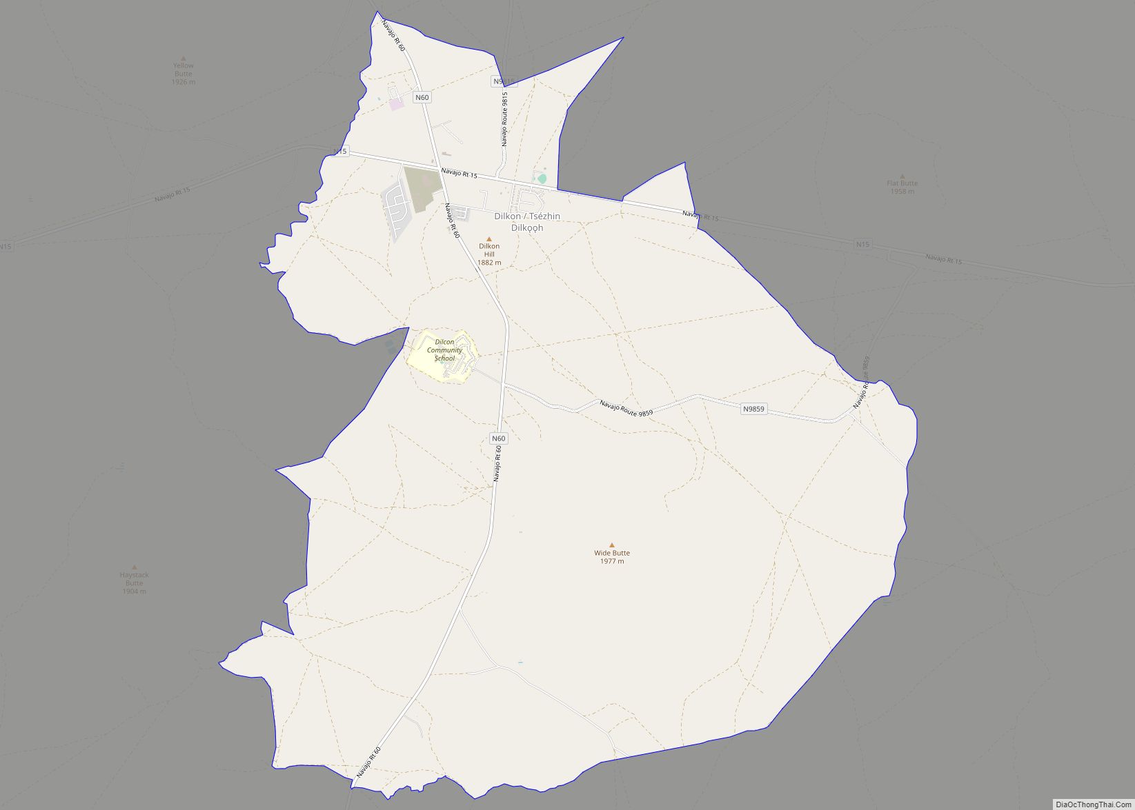
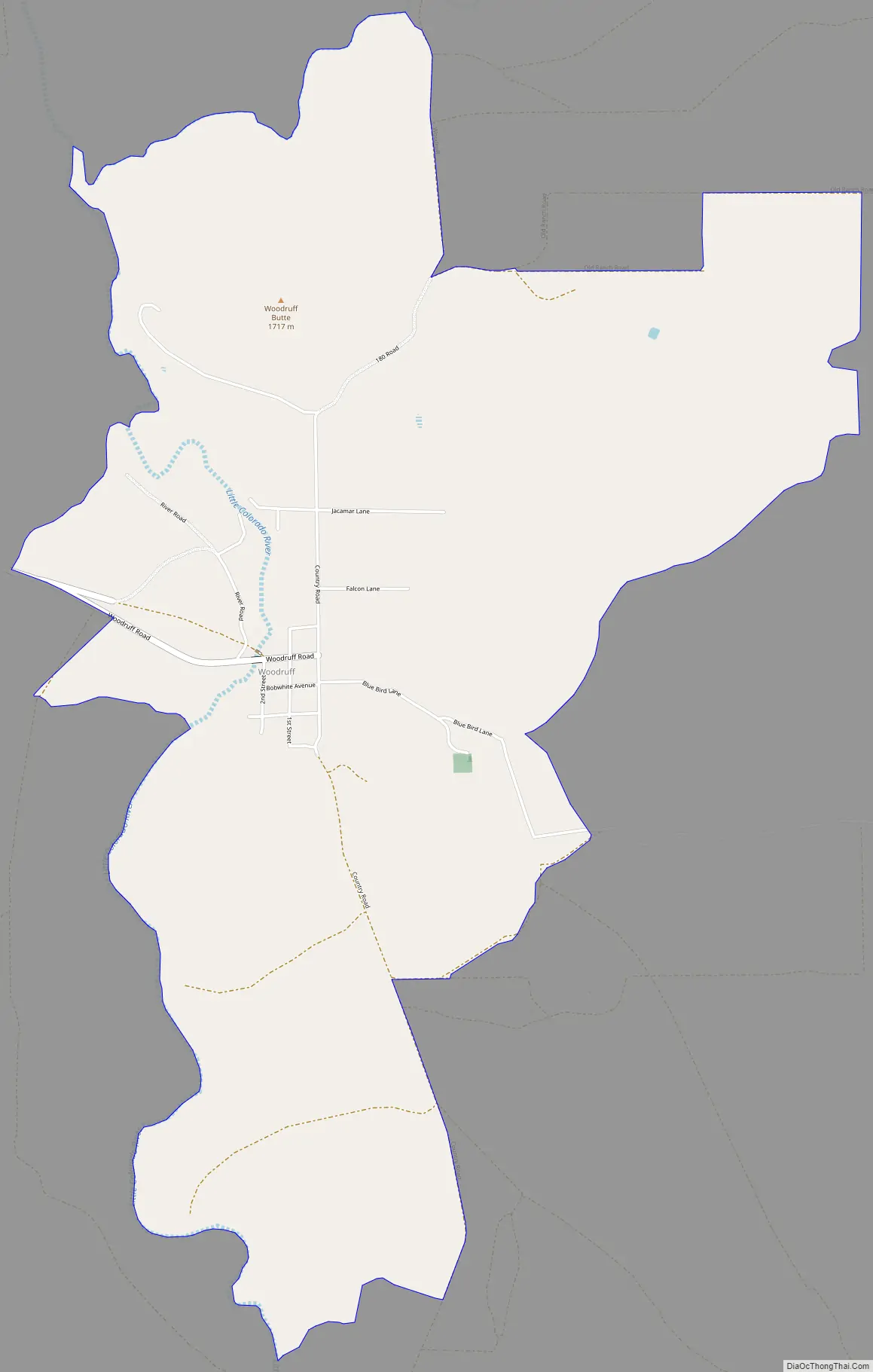
Woodruff Road Map
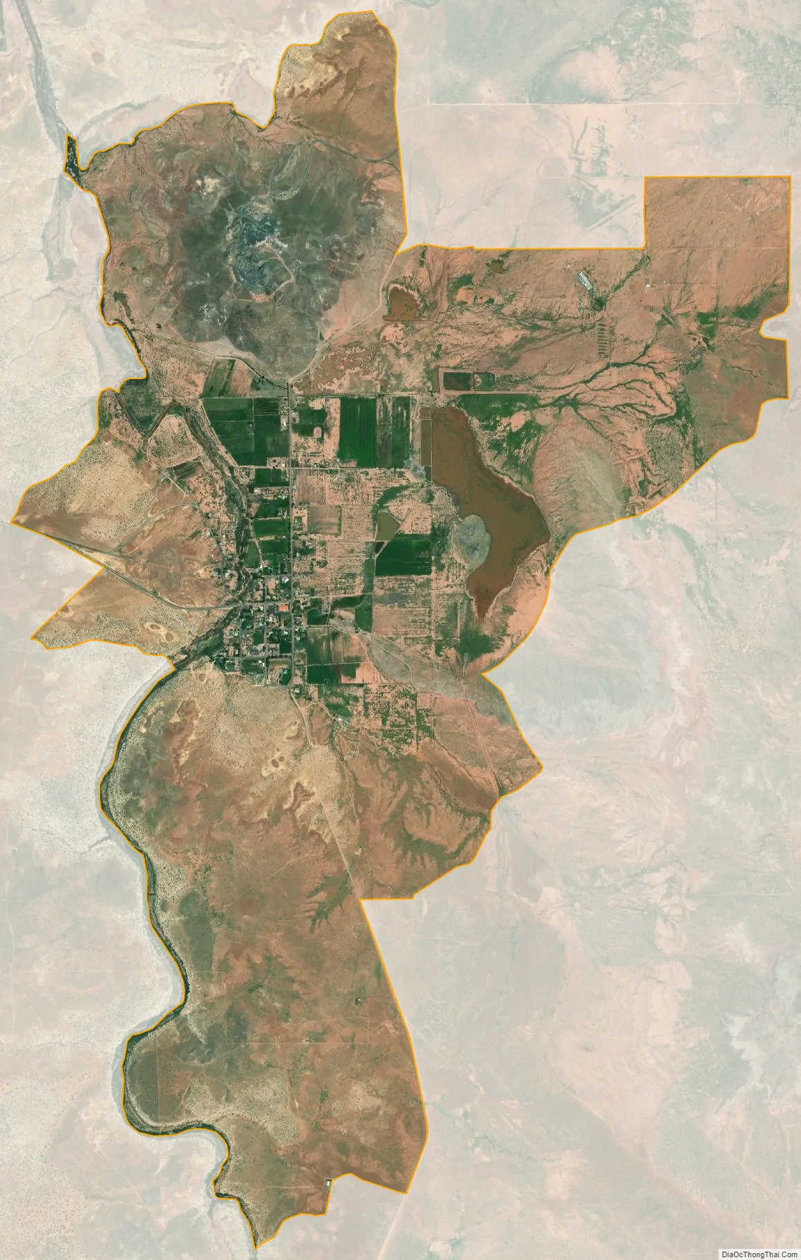
Woodruff city Satellite Map
See also
Map of Arizona State and its subdivision: Map of other states:- Alabama
- Alaska
- Arizona
- Arkansas
- California
- Colorado
- Connecticut
- Delaware
- District of Columbia
- Florida
- Georgia
- Hawaii
- Idaho
- Illinois
- Indiana
- Iowa
- Kansas
- Kentucky
- Louisiana
- Maine
- Maryland
- Massachusetts
- Michigan
- Minnesota
- Mississippi
- Missouri
- Montana
- Nebraska
- Nevada
- New Hampshire
- New Jersey
- New Mexico
- New York
- North Carolina
- North Dakota
- Ohio
- Oklahoma
- Oregon
- Pennsylvania
- Rhode Island
- South Carolina
- South Dakota
- Tennessee
- Texas
- Utah
- Vermont
- Virginia
- Washington
- West Virginia
- Wisconsin
- Wyoming