Devens is a regional enterprise zone and census-designated place in the towns of Ayer and Shirley (in Middlesex County) and Harvard (in Worcester County) in the U.S. state of Massachusetts. It is the successor to Fort Devens, a military post that operated from 1917 to 1996. The population was 1,840 at the 2010 census.
| Name: | Devens CDP |
|---|---|
| LSAD Code: | 57 |
| LSAD Description: | CDP (suffix) |
| State: | Massachusetts |
| County: | Middlesex County, Worcester County |
| Total Area: | 6.87 sq mi (17.80 km²) |
| Land Area: | 6.78 sq mi (17.57 km²) |
| Water Area: | 0.09 sq mi (0.23 km²) |
| Total Population: | 1,697 |
| Population Density: | 250.15/sq mi (96.58/km²) |
| ZIP code: | 01434 |
| Area code: | 978 |
| FIPS code: | 2516840 |
| Website: | http://www.devenscommunity.com/ |
Online Interactive Map
Click on ![]() to view map in "full screen" mode.
to view map in "full screen" mode.
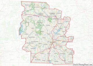
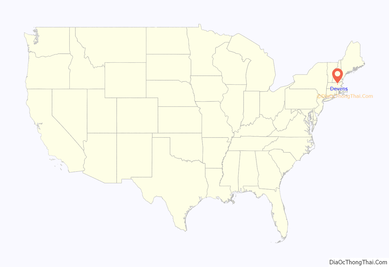
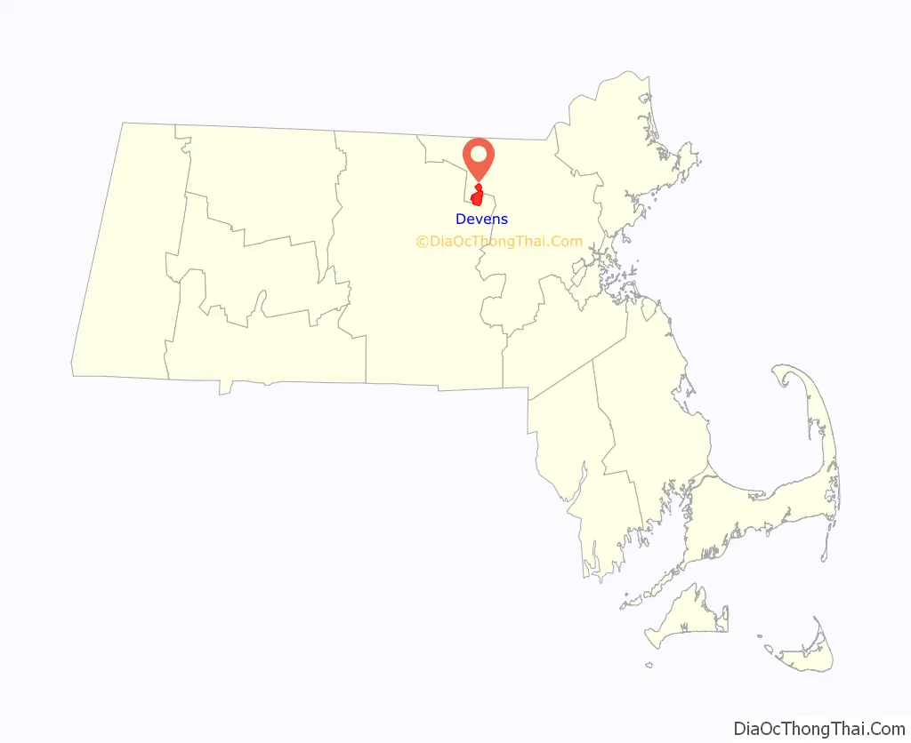
Devens location map. Where is Devens CDP?
History
The area itself is named after jurist and Civil War general Charles Devens. In 2011, the CDP tried to secede from Ayer, Shirley, and Harvard and become the 352nd town in the Commonwealth of Massachusetts but failed the vote. Some residents are still looking to secede to become a town.
Devens Road Map
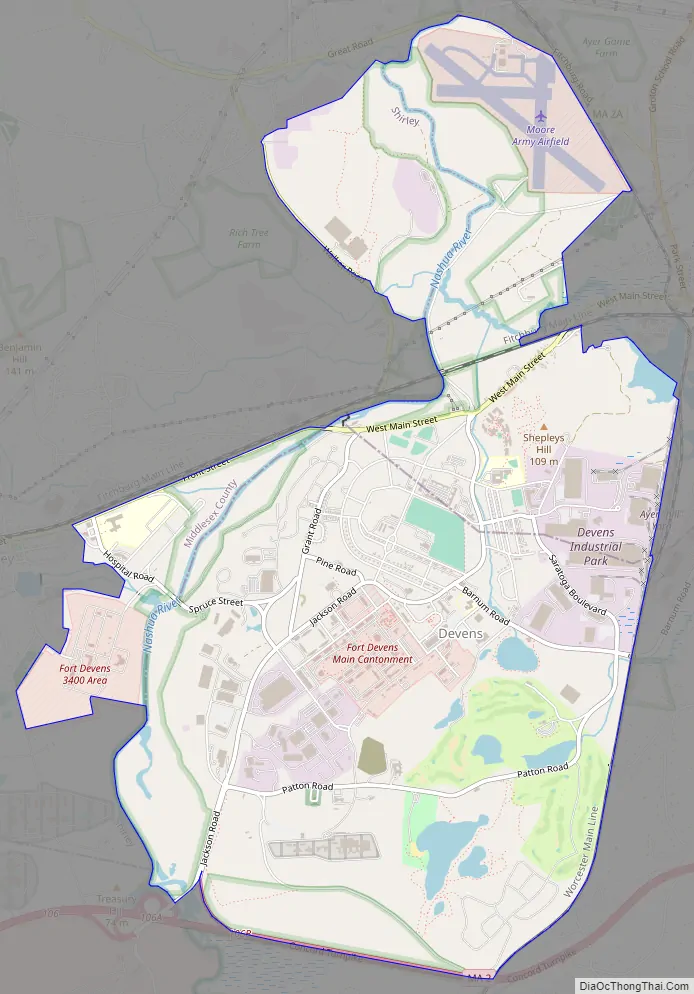
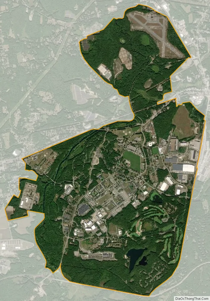
Devens city Satellite Map
See also
Map of Massachusetts State and its subdivision: Map of other states:- Alabama
- Alaska
- Arizona
- Arkansas
- California
- Colorado
- Connecticut
- Delaware
- District of Columbia
- Florida
- Georgia
- Hawaii
- Idaho
- Illinois
- Indiana
- Iowa
- Kansas
- Kentucky
- Louisiana
- Maine
- Maryland
- Massachusetts
- Michigan
- Minnesota
- Mississippi
- Missouri
- Montana
- Nebraska
- Nevada
- New Hampshire
- New Jersey
- New Mexico
- New York
- North Carolina
- North Dakota
- Ohio
- Oklahoma
- Oregon
- Pennsylvania
- Rhode Island
- South Carolina
- South Dakota
- Tennessee
- Texas
- Utah
- Vermont
- Virginia
- Washington
- West Virginia
- Wisconsin
- Wyoming