Adamstown is an unincorporated community and census-designated place (CDP) in Frederick County, Maryland, United States. It is named for Adam Kohlenberg (March 11, 1819 – January 1, 1868), a station agent and first town merchant who owned much of present-day Adamstown. As of the 2010 census, the Adamstown CDP had a population of 2,372.
| Name: | Adamstown CDP |
|---|---|
| LSAD Code: | 57 |
| LSAD Description: | CDP (suffix) |
| State: | Maryland |
| County: | Frederick County |
| Elevation: | 305 ft (93 m) |
| Total Area: | 1.06 sq mi (2.76 km²) |
| Land Area: | 1.06 sq mi (2.76 km²) |
| Water Area: | 0.00 sq mi (0.00 km²) |
| Total Population: | 2,331 |
| Population Density: | 2,190.79/sq mi (845.87/km²) |
| ZIP code: | 21710 |
| Area code: | 240 and 301 |
| FIPS code: | 2400350 |
Online Interactive Map
Click on ![]() to view map in "full screen" mode.
to view map in "full screen" mode.
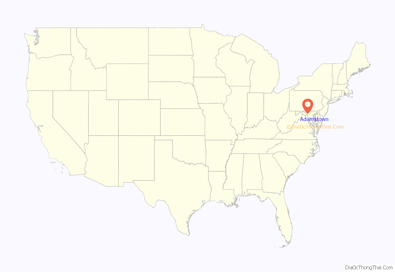
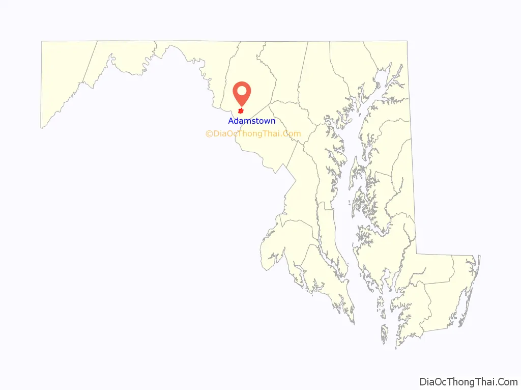
Adamstown location map. Where is Adamstown CDP?
History
Adamstown lies in the fertile valley between Sugarloaf and Catoctin Mountain on the former Carrollton Manor, a 17,000-acre (69 km) estate originally owned by Charles Carroll of Carrollton. Until 2000, it was a little-altered representative of mid-19th century linear town planning. It is significant in architecture for its variety of structures, including residential, commercial, industrial, educational, agricultural, and religious buildings. The late 18th century road from Jefferson to Greenfield Mills on the Monocacy River, originally called the Bridal Road, followed the route of the present-day Mountville Road. The 1832 arrival of the railroad to the manor created the economic and transportation impetus for the development of the community.
Adamstown was first known as “Davis’ Warehouse” because Dr. Meredith Davis, a leading Quaker county miller, built a warehouse about 1835 where Mountville Road, by then called Jefferson Road, crossed the Baltimore & Ohio Railroad (9 miles (14 km) southwest of Frederick) to store flour from his Greenfield Mills. The first settler in Adamstown was Robert Palmer, an African American “post and railer” who also ran a general store around 1835. In 1840 when Adam Kohlenburg was appointed the first B&O railway agent, the community became known as “Adamstown”, after his given name. He was also the first postmaster and ran a general store located in the lot between his brick Italianate-style home and the railroad. Edward Hebb laid off lots on the north side of the railroad in the 1840s. Daniel Rhodes of Pennsylvania, the first white settler, was so impressed with the location, he bought a tract of land and laid it off into 12 building lots on the south side of the railroad in 1856.
With Adamstown located so close to the Potomac River and Virginia, its citizens were almost exclusively loyal to the South during the Civil War; however, both Federal and Confederate troops were constantly moving on Carrollton Manor. For several months in the spring of 1861, the Minute Men of Adamstown, a secession militia company composed of three officers (Captain Robert H. E. Boteler, 1st Lieutenant Jacob G. Thomas, and 2nd Lieutenant William Hilleary Johnson, all local doctors) planted a pole and flew the Confederate flag adjacent to their guard post next to the B&O railroad. Many skirmishes in the war were fought here and the town was often raided, most notoriously by the 43rd Battalion Virginia Cavalry, also known as Mosby’s Rangers, on July 30 and October 14, 1864. On one of these raids, Adam Kohlenburg’s entire stock was taken. Local folklore holds that one family had a son fighting for the North and one fighting for the South.
In 1902, Jacob Klein’s Addition to Adamstown included the area of Washington, Adams, and Tuscarora streets. The Adamstown Bank was established in 1917, and the building opened in 1919. In 1921, Adamstown had two large grain elevators (Farmers Exchange of Frederick and Thomas & Co.), a blacksmith shop, a carriage works, two garages, a general store, a hardware store, a butcher shop and the bank. Electric lights were first installed in the town in 1921 as well.
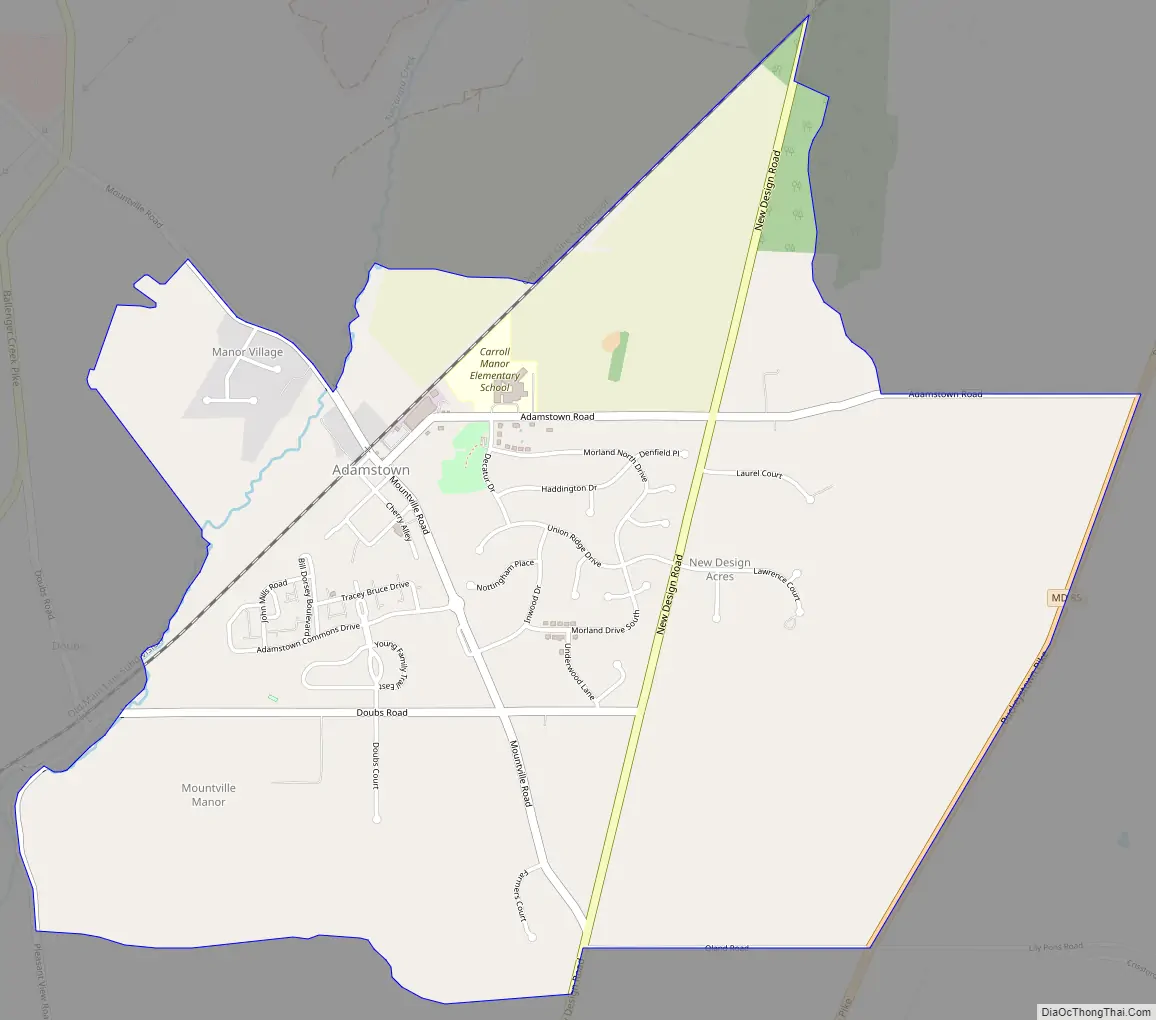
Adamstown Road Map
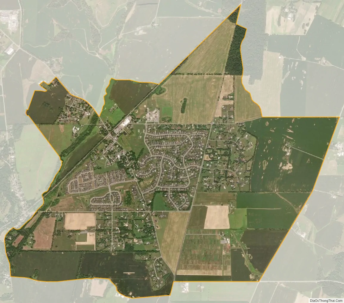
Adamstown city Satellite Map
Geography
Adamstown is located in southern Frederick County at 39°18.675′ North, 77°28.504′ West (39.311233, −77.475067). It is 9 miles (14 km) southwest of Frederick, the county seat, and 5 miles (8 km) northeast of the Potomac River at Point of Rocks.
Highways
- Maryland Route 85
See also
Map of Maryland State and its subdivision: Map of other states:- Alabama
- Alaska
- Arizona
- Arkansas
- California
- Colorado
- Connecticut
- Delaware
- District of Columbia
- Florida
- Georgia
- Hawaii
- Idaho
- Illinois
- Indiana
- Iowa
- Kansas
- Kentucky
- Louisiana
- Maine
- Maryland
- Massachusetts
- Michigan
- Minnesota
- Mississippi
- Missouri
- Montana
- Nebraska
- Nevada
- New Hampshire
- New Jersey
- New Mexico
- New York
- North Carolina
- North Dakota
- Ohio
- Oklahoma
- Oregon
- Pennsylvania
- Rhode Island
- South Carolina
- South Dakota
- Tennessee
- Texas
- Utah
- Vermont
- Virginia
- Washington
- West Virginia
- Wisconsin
- Wyoming


