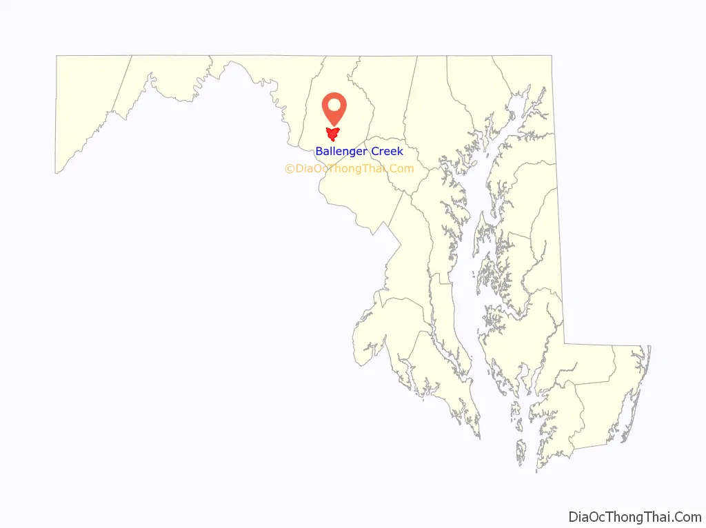
Ballenger Creek is an unincorporated community and census-designated place (CDP) in Frederick County, Maryland, United States. It is a part of the Frederick, Maryland urban area and is adjacent to Frederick’s southern city limits. The CDP had a 2010 census population of 18,274.
| Name: | Ballenger Creek CDP |
|---|---|
| LSAD Code: | 57 |
| LSAD Description: | CDP (suffix) |
| State: | Maryland |
| County: | Frederick County |
| Elevation: | 302 ft (92 m) |
| Total Area: | 10.81 sq mi (28.00 km²) |
| Land Area: | 10.80 sq mi (27.96 km²) |
| Water Area: | 0.01 sq mi (0.04 km²) |
| Total Population: | 24,999 |
| Population Density: | 2,315.58/sq mi (894.04/km²) |
| FIPS code: | 2403800 |
| GNISfeature ID: | 1867291 |
Online Interactive Map
Click on ![]() to view map in "full screen" mode.
to view map in "full screen" mode.
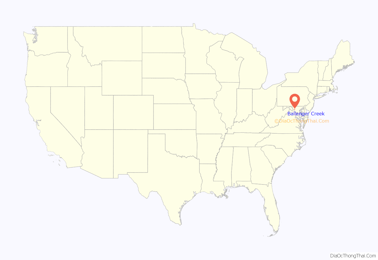
Ballenger Creek location map. Where is Ballenger Creek CDP?
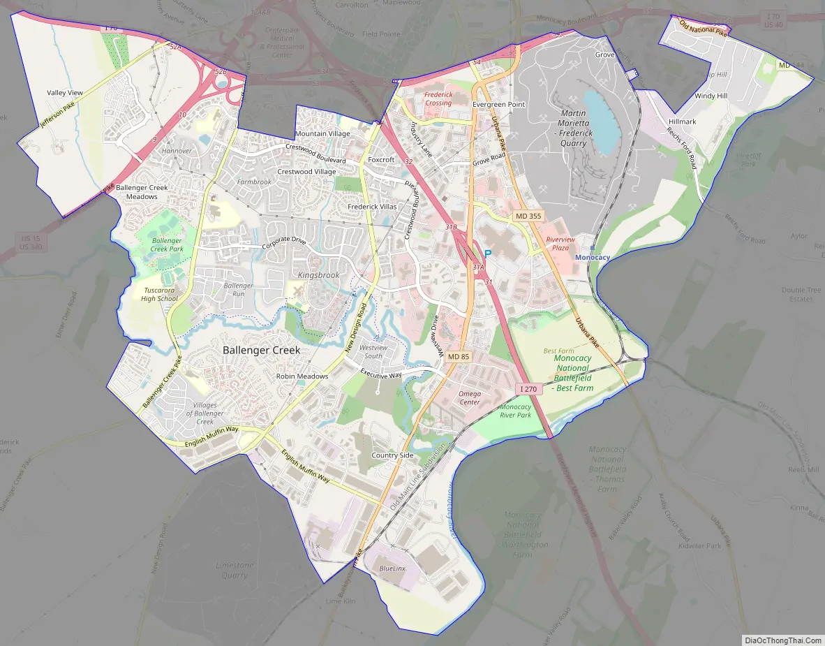
Ballenger Creek Road Map
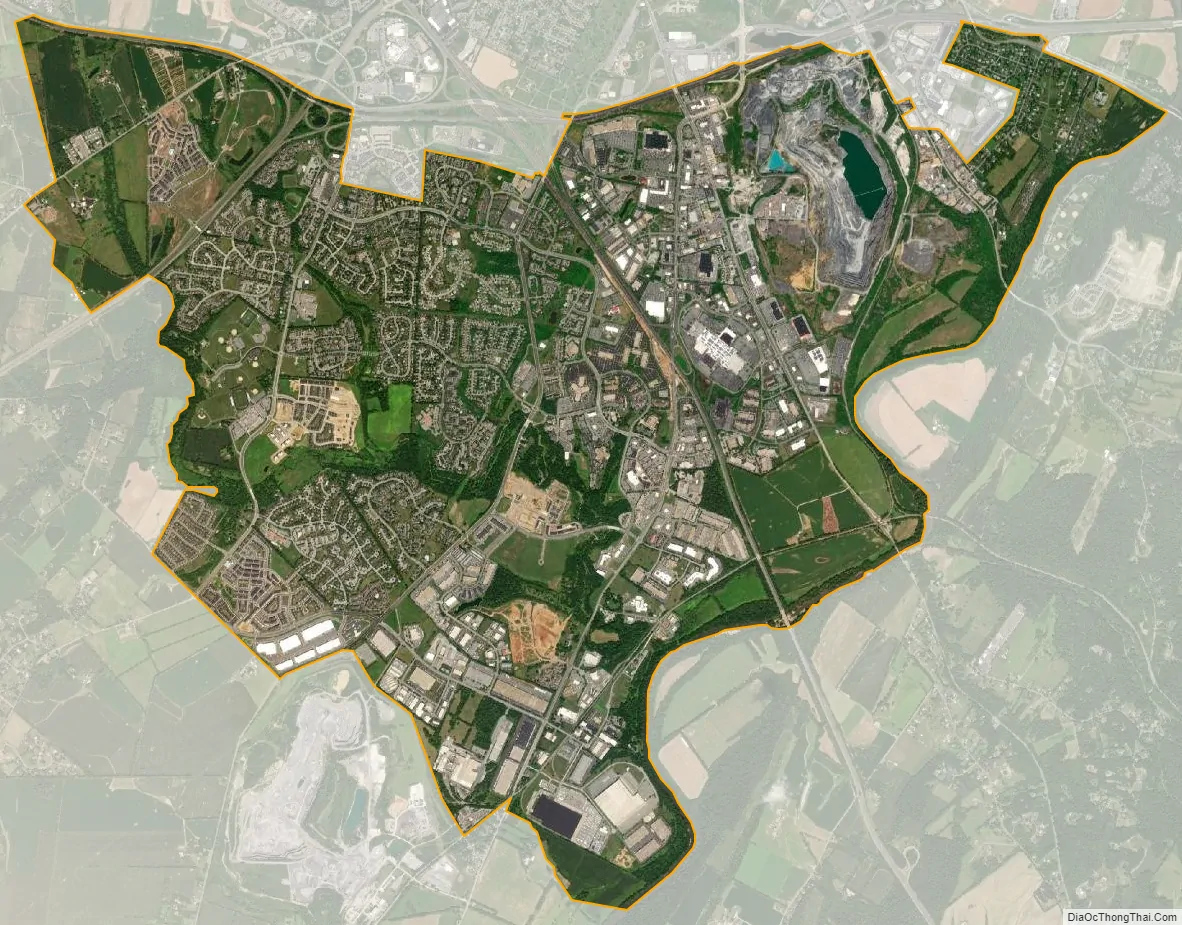
Ballenger Creek city Satellite Map
Geography
Ballenger Creek is located in south-central Frederick County at 39°22′54″N 77°25′58″W / 39.38167°N 77.43278°W / 39.38167; -77.43278 (39.381593, −77.432802). The namesake stream flows from west to east through the community towards the Monocacy River, part of the Potomac River watershed.
According to the United States Census Bureau, the CDP has a total area of 10.8 square miles (28.1 km), of which 0.02 square miles (0.04 km), or 0.14%, is water.
See also
Map of Maryland State and its subdivision: Map of other states:- Alabama
- Alaska
- Arizona
- Arkansas
- California
- Colorado
- Connecticut
- Delaware
- District of Columbia
- Florida
- Georgia
- Hawaii
- Idaho
- Illinois
- Indiana
- Iowa
- Kansas
- Kentucky
- Louisiana
- Maine
- Maryland
- Massachusetts
- Michigan
- Minnesota
- Mississippi
- Missouri
- Montana
- Nebraska
- Nevada
- New Hampshire
- New Jersey
- New Mexico
- New York
- North Carolina
- North Dakota
- Ohio
- Oklahoma
- Oregon
- Pennsylvania
- Rhode Island
- South Carolina
- South Dakota
- Tennessee
- Texas
- Utah
- Vermont
- Virginia
- Washington
- West Virginia
- Wisconsin
- Wyoming


