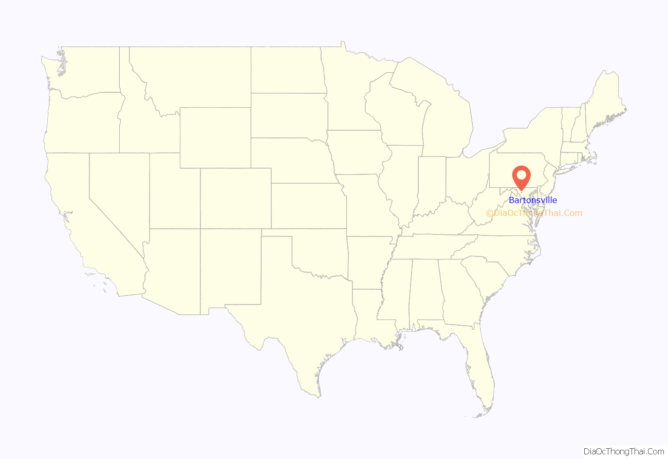
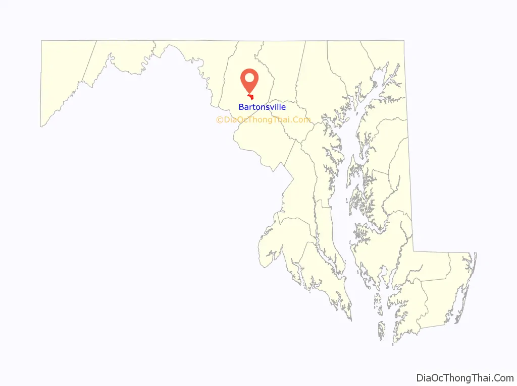
Bartonsville is an unincorporated community and census-designated place (CDP) in Frederick County, in the U.S. state of Maryland. As of the 2020 census it had a population of 2,753. Prior to 2010, the area was part of the Linganore-Bartonsville CDP.
| Name: | Bartonsville CDP |
|---|---|
| LSAD Code: | 57 |
| LSAD Description: | CDP (suffix) |
| State: | Maryland |
| County: | Frederick County |
| Elevation: | 410 ft (120 m) |
| Total Area: | 2.14 sq mi (5.55 km²) |
| Land Area: | 2.14 sq mi (5.53 km²) |
| Water Area: | 0.01 sq mi (0.02 km²) |
| Total Population: | 2,753 |
| Population Density: | 1,288.86/sq mi (497.58/km²) |
| FIPS code: | 2404650 |
| GNISfeature ID: | 0589701 |
Online Interactive Map
Click on ![]() to view map in "full screen" mode.
to view map in "full screen" mode.
Bartonsville location map. Where is Bartonsville CDP?
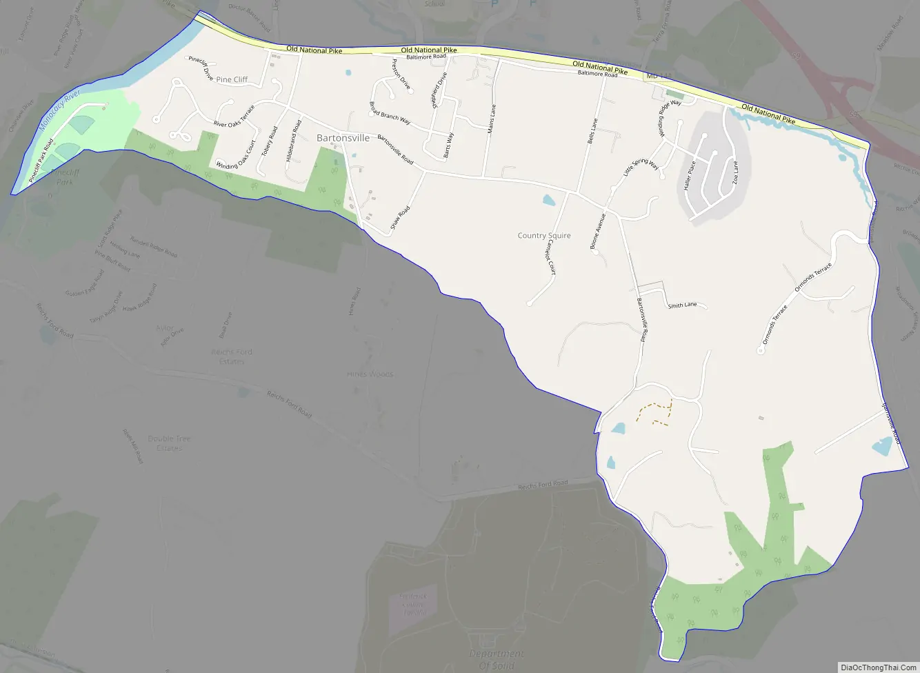
Bartonsville Road Map
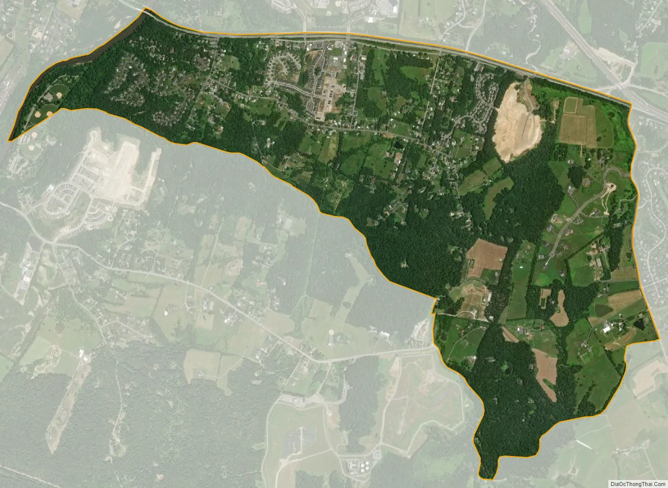
Bartonsville city Satellite Map
Geography
The community is in southeastern Frederick County, bordered to the north by Maryland Route 144 (Old National Pike), to the east by Ijamsville Road, and to the west by the Monocacy River. Via MD 144, the city of Frederick is 3.5 miles (5.6 km) to the west.
According to the U.S. Census Bureau, the Bartonsville CDP has a total area of 2.64 square miles (6.84 km), of which 2.61 square miles (6.76 km) is land and 0.03 square miles (0.08 km), or 1.11%, is water.
See also
Map of Maryland State and its subdivision: Map of other states:- Alabama
- Alaska
- Arizona
- Arkansas
- California
- Colorado
- Connecticut
- Delaware
- District of Columbia
- Florida
- Georgia
- Hawaii
- Idaho
- Illinois
- Indiana
- Iowa
- Kansas
- Kentucky
- Louisiana
- Maine
- Maryland
- Massachusetts
- Michigan
- Minnesota
- Mississippi
- Missouri
- Montana
- Nebraska
- Nevada
- New Hampshire
- New Jersey
- New Mexico
- New York
- North Carolina
- North Dakota
- Ohio
- Oklahoma
- Oregon
- Pennsylvania
- Rhode Island
- South Carolina
- South Dakota
- Tennessee
- Texas
- Utah
- Vermont
- Virginia
- Washington
- West Virginia
- Wisconsin
- Wyoming


