Chesapeake City is a town in Cecil County, Maryland, United States. The population was 736 at the 2020 census.
The town was originally named by Bohemian colonist Augustine Herman the Village of Bohemia — or Bohemia Manor — but the name was changed in 1839 after the Chesapeake and Delaware Canal (C&D Canal) was built in 1829. Today, the town contains numerous old homes from that era that have been converted into bed and breakfasts, restaurants and the local historical museum.
| Name: | Chesapeake City town |
|---|---|
| LSAD Code: | 43 |
| LSAD Description: | town (suffix) |
| State: | Maryland |
| County: | Cecil County |
| Incorporated: | 1850 |
| Elevation: | 26 ft (8 m) |
| Total Area: | 0.72 sq mi (1.88 km²) |
| Land Area: | 0.53 sq mi (1.37 km²) |
| Water Area: | 0.19 sq mi (0.50 km²) |
| Total Population: | 736 |
| Population Density: | 1,388.68/sq mi (535.84/km²) |
| ZIP code: | 21915 |
| Area code: | 410 |
| FIPS code: | 2415950 |
| GNISfeature ID: | 0589952 |
| Website: | www.chesapeakecity-md.gov |
Online Interactive Map
Click on ![]() to view map in "full screen" mode.
to view map in "full screen" mode.
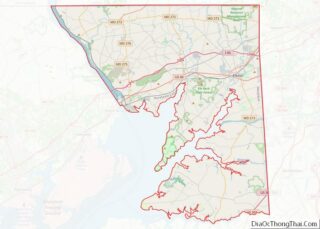
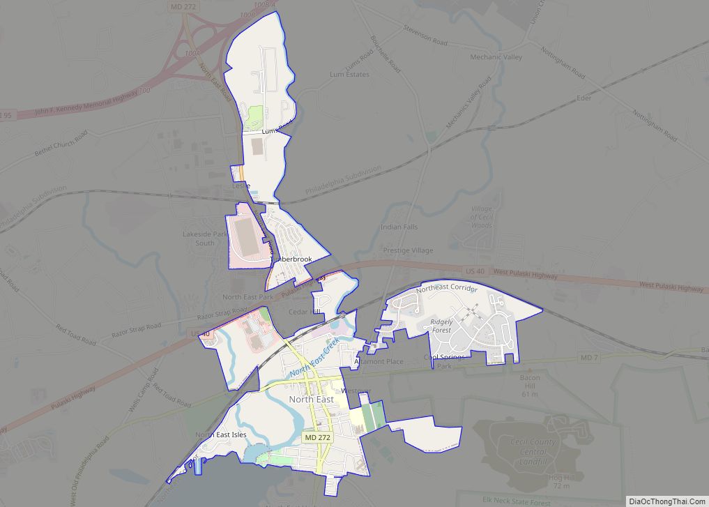
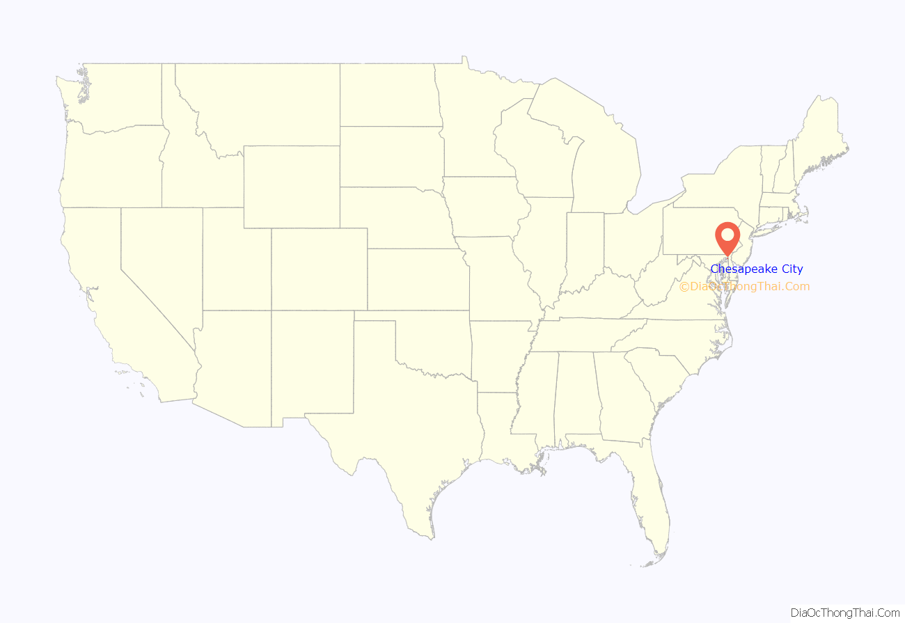
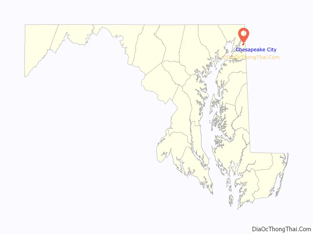
Chesapeake City location map. Where is Chesapeake City town?
History
The town was separated into north and south sections when the C&D Canal was built through the middle of the town. The two were connected by a drawbridge until 1942 when that was destroyed by a freighter that struck it. The current bridge opened in 1949.
The new bridge had to be tall enough to allow supertankers to pass beneath it, resulting in a structure so high and long that cars no longer went into the city to cross the canal. Business declined for decades thereafter.
Around 1911, members of the Ukrainian community bought farmland at the edge of Chesapeake City and established homes here. They worked on the canal when it expanded in the 1920s and farmed as they brought their traditions and culture to the top of the Eastern Shore of Maryland. In 1911, the Ukrainian Catholic Church announced plans for a church and an orphanage. St. Basil’s Ukrainian Church opened a few years later and prior to World War I the St. Basil Orphanage on a hilltop alongside the C & D Canal was caring for children. The orphanage maintained by the Sisters of the Order of St. Basil the Great (O.S.B.M) operated until the 1970s. The church continues to serve the spiritual needs of the community with regular services.
Chesapeake City is the location of the Old Lock Pump House of the C&D Canal, listed on the National Register of Historic Places in 1966. The South Chesapeake City Historic District was listed in 1974.
In the late 20th century, Chesapeake City was the home of one of the world’s most important thoroughbred stud farms, Windfields Farm.
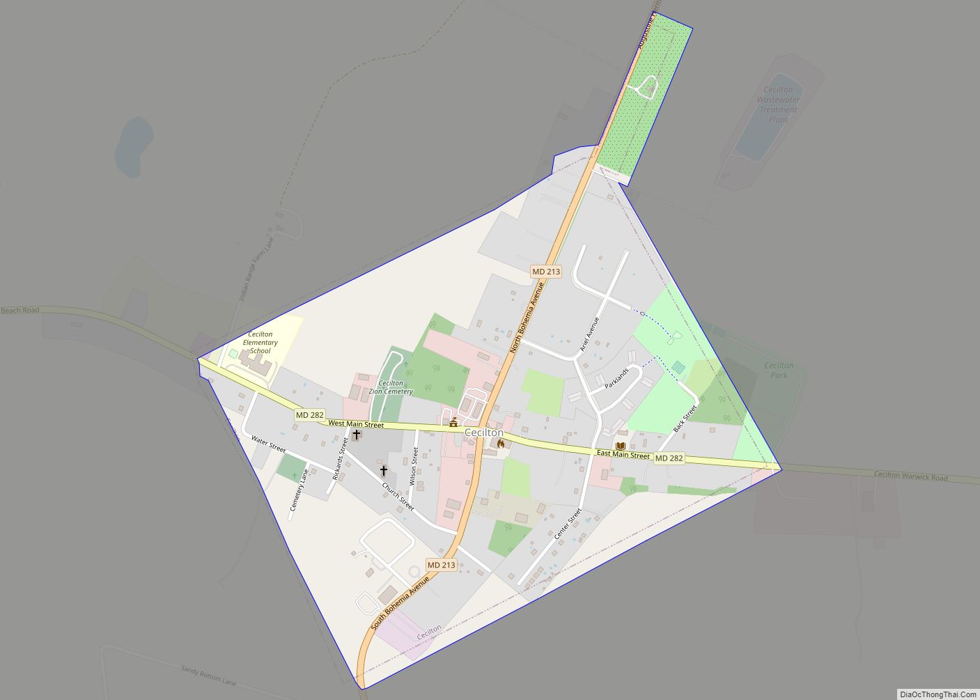
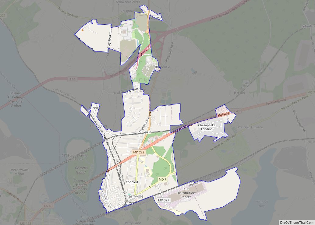
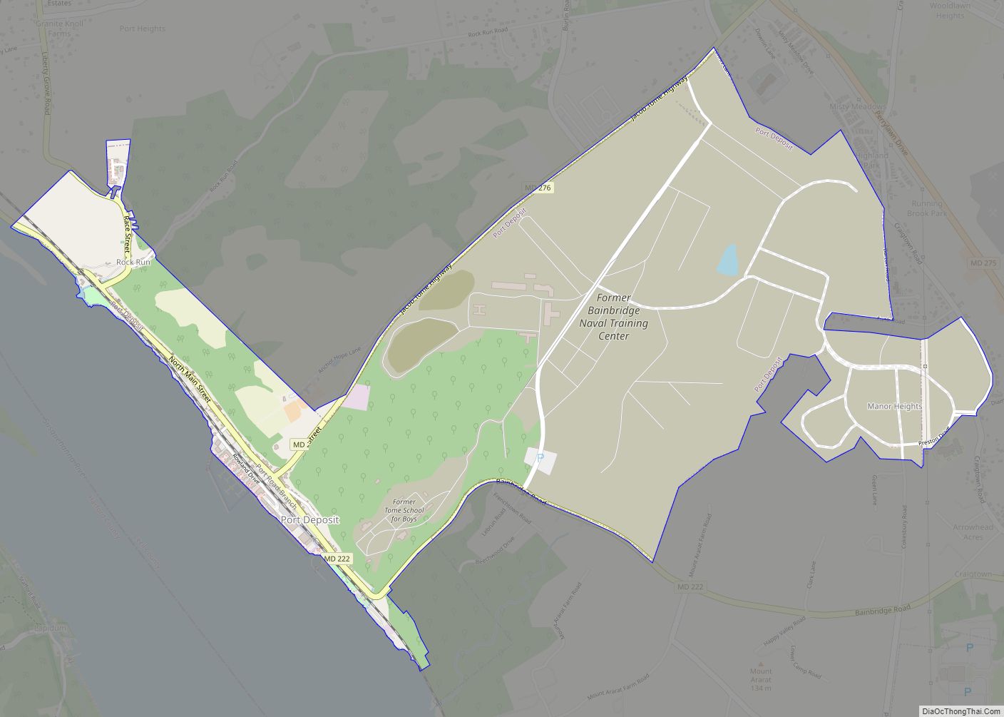
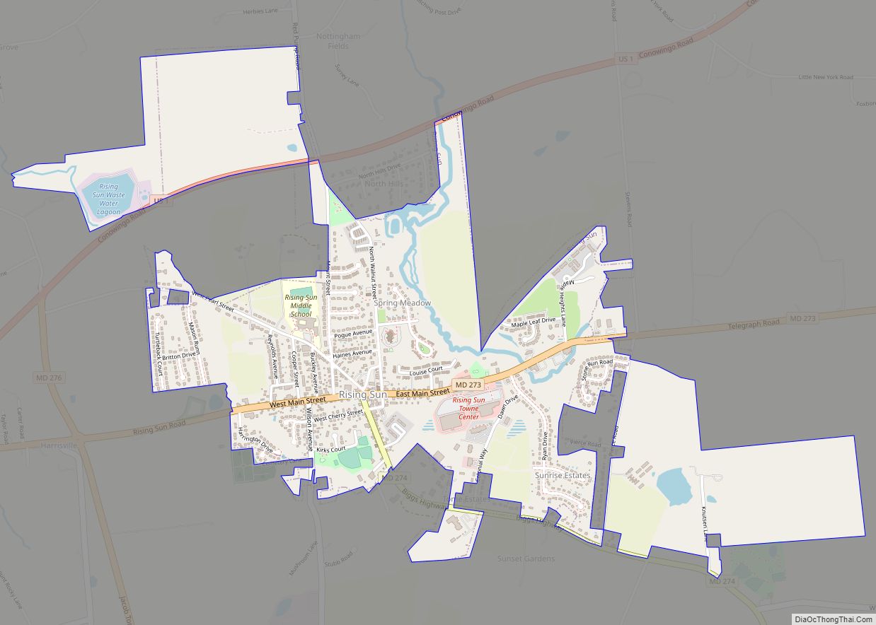
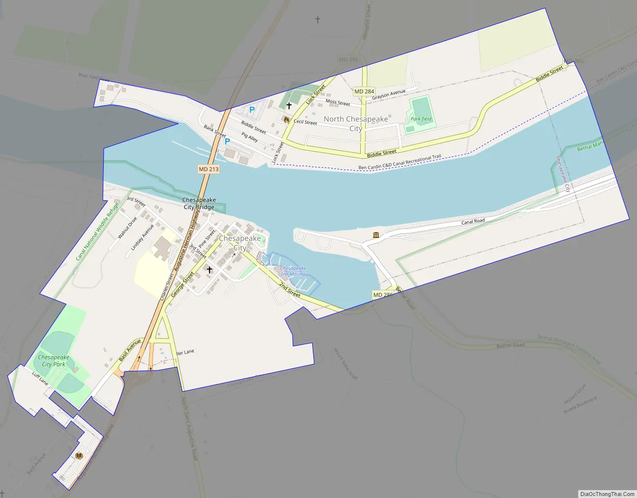
Chesapeake City Road Map
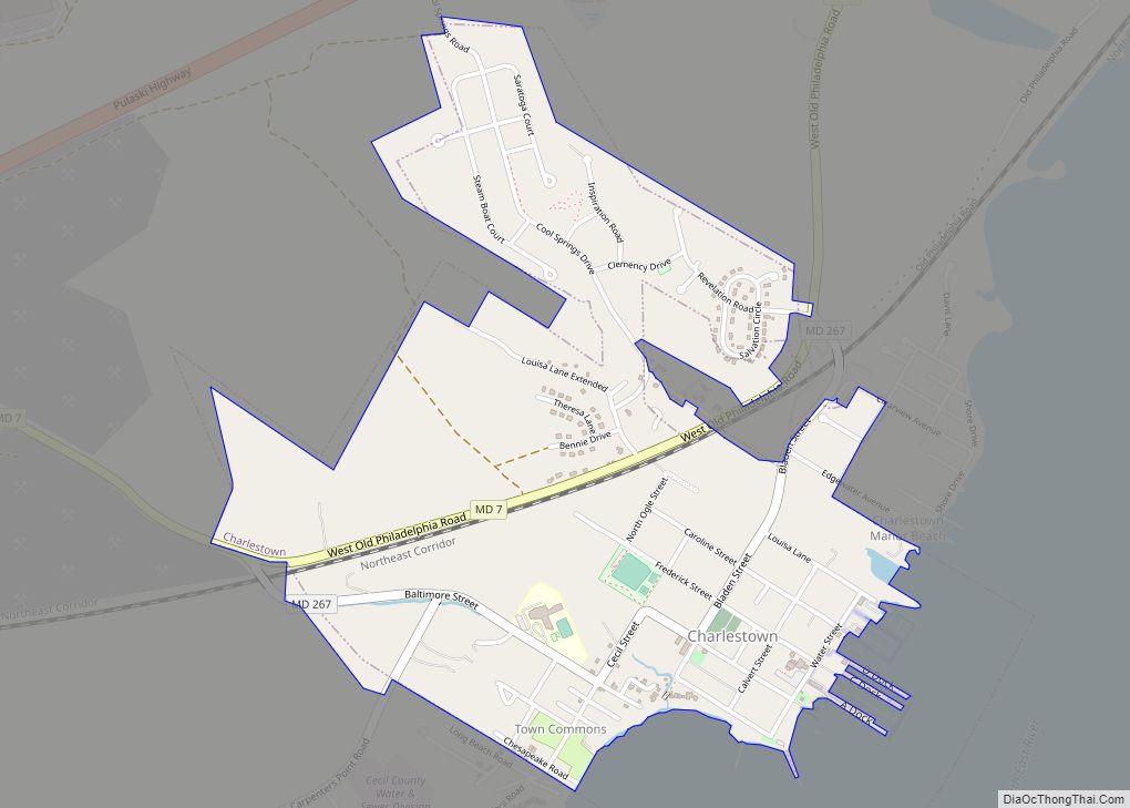
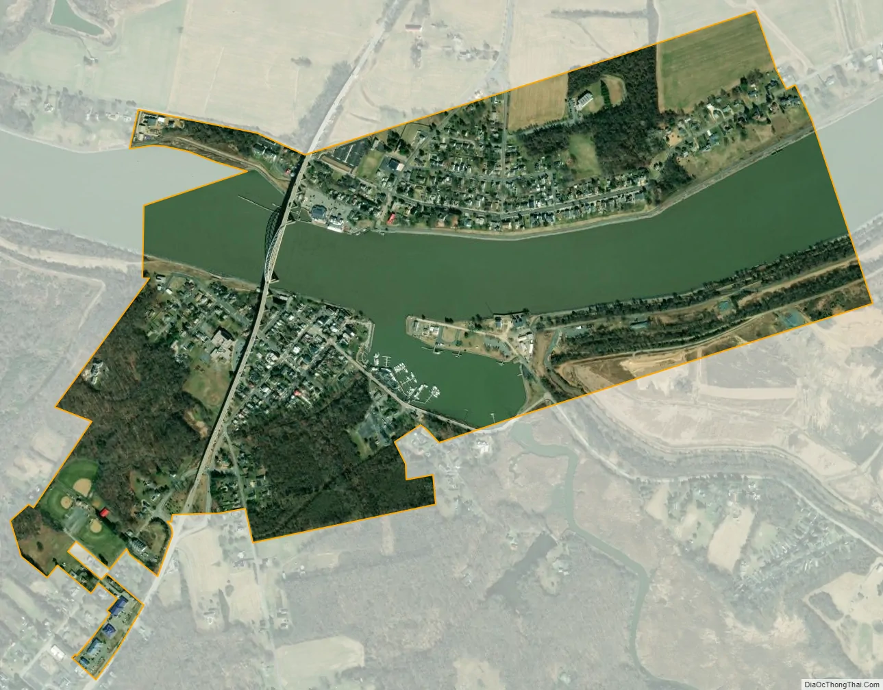
Chesapeake City city Satellite Map
Geography
Chesapeake City is located at 39°31′40″N 75°48′44″W / 39.52778°N 75.81222°W / 39.52778; -75.81222 (39.527826, -75.812270).
According to the United States Census Bureau, the town has a total area of 0.69 square miles (1.79 km), of which 0.50 square miles (1.29 km) is land and 0.19 square miles (0.49 km) is water.
See also
Map of Maryland State and its subdivision: Map of other states:- Alabama
- Alaska
- Arizona
- Arkansas
- California
- Colorado
- Connecticut
- Delaware
- District of Columbia
- Florida
- Georgia
- Hawaii
- Idaho
- Illinois
- Indiana
- Iowa
- Kansas
- Kentucky
- Louisiana
- Maine
- Maryland
- Massachusetts
- Michigan
- Minnesota
- Mississippi
- Missouri
- Montana
- Nebraska
- Nevada
- New Hampshire
- New Jersey
- New Mexico
- New York
- North Carolina
- North Dakota
- Ohio
- Oklahoma
- Oregon
- Pennsylvania
- Rhode Island
- South Carolina
- South Dakota
- Tennessee
- Texas
- Utah
- Vermont
- Virginia
- Washington
- West Virginia
- Wisconsin
- Wyoming