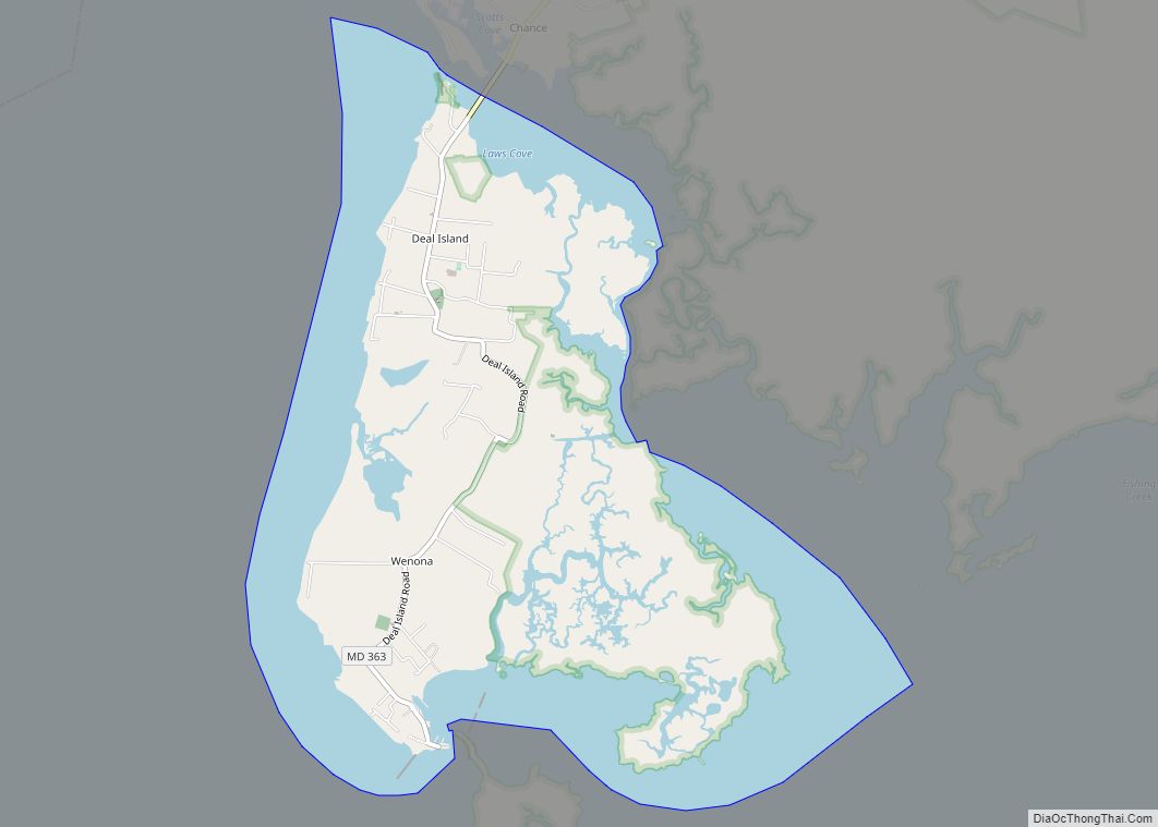
Crisfield is a city in Somerset County, Maryland, United States, located on the Tangier Sound, an arm of the Chesapeake Bay. The population was 2,515 at the 2020 census. It is included in the Salisbury, Maryland-Delaware Metropolitan Statistical Area. Crisfield has the distinction of being the southernmost incorporated city in Maryland.
The site of today’s Crisfield was initially a small fishing village called Annemessex Neck. During European colonization, it was renamed Somers Cove, after Benjamin Summers. When the business potential for seafood was discovered, John W. Crisfield decided to bring the Pennsylvania Railroad to Crisfield, and the quiet fishing town grew. Crisfield is now known as the “Seafood Capital of the World”. The city’s success was so great that the train soot and oyster shells prompted the extension of the city’s land into the marshes. City residents often claim that the downtown area is literally built atop oyster shells.
Crisfield began to slip into decline along with the declining health of the Chesapeake Bay, prompting a “strategic revitalization plan” to address the city’s future needs. Currently, Crisfield is largely a tourist destination. It hosts many annual events and festivals, the most prominent of which is the National Hard Crab Derby. Crisfield is also a major gateway to Smith Island and Tangier Island.
| Name: | Crisfield city |
|---|---|
| LSAD Code: | 25 |
| LSAD Description: | city (suffix) |
| State: | Maryland |
| County: | Somerset County |
| Founded: | 1663 |
| Elevation: | 3 ft (1 m) |
| Total Area: | 3.17 sq mi (8.22 km²) |
| Land Area: | 1.74 sq mi (4.49 km²) |
| Water Area: | 1.44 sq mi (3.72 km²) |
| Total Population: | 2,475 |
| Population Density: | 1,425.69/sq mi (550.61/km²) |
| ZIP code: | 21817 |
| Area code: | 410, 443 |
| FIPS code: | 2420775 |
| GNISfeature ID: | 0583972 |
| Website: | www.cityofcrisfield-md.gov |
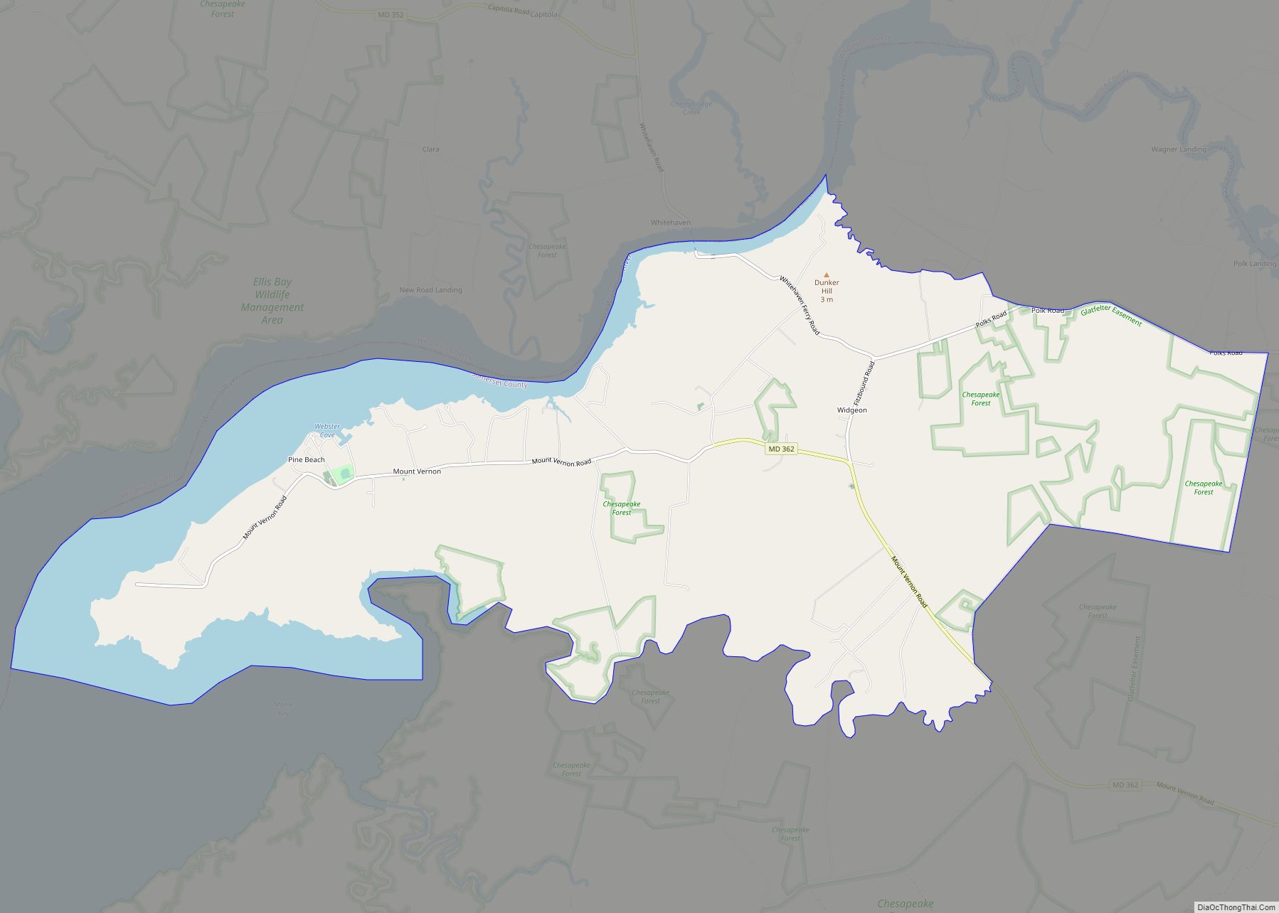
Online Interactive Map
Click on ![]() to view map in "full screen" mode.
to view map in "full screen" mode.
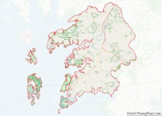
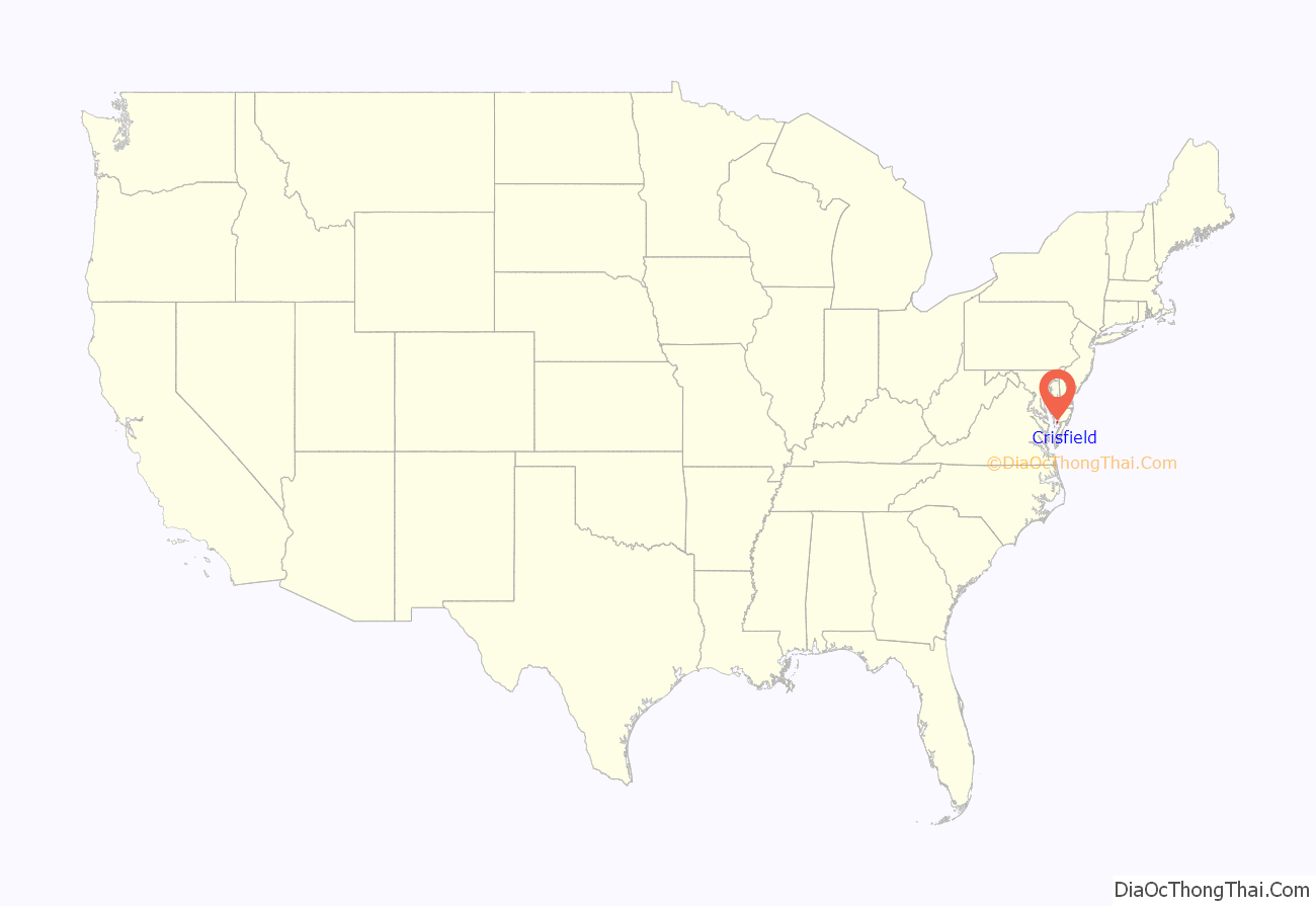
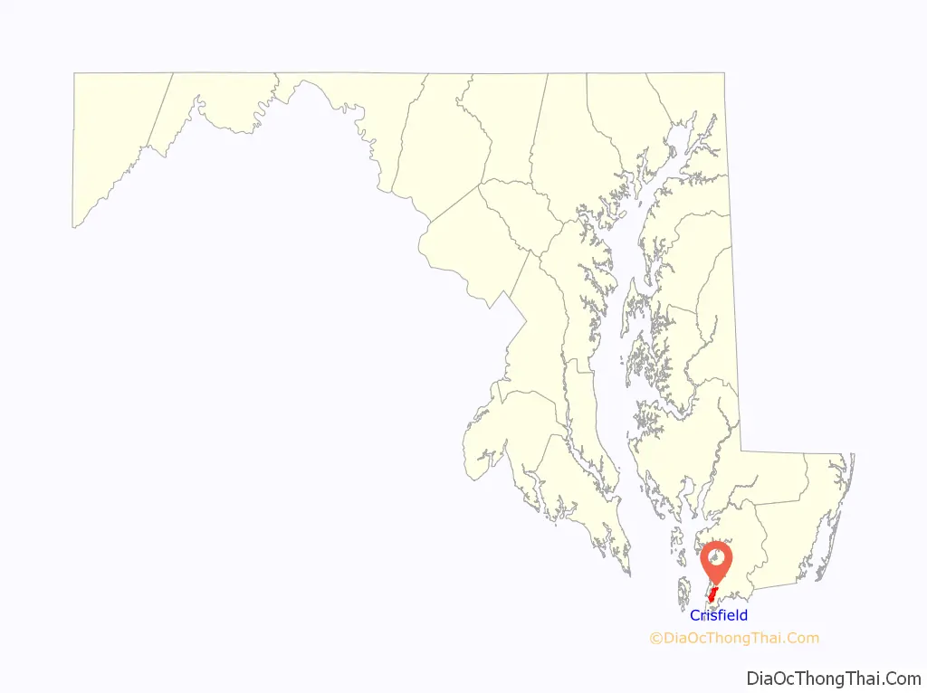
Crisfield location map. Where is Crisfield city?
History
The Annamessex, a Native American tribe related to the Pocomoke people, were indigenous to the region. Their small fishing village was known as Annemessex Neck. The nearby Annemessex River is also named after them.
On February 10, 1663, Benjamin Summers, a settler from Yorkshire or Hertfordshire, England, arrived from Northampton County, Virginia to claim his headright. He patented a 300-acre (1.21 km) [though in actuality only 250 acres (1.01 km)] parcel of land, which he named “Emmessex”. He later patented another 200 acres (0.81 km) of land on September 23, 1683, naming it “Musketa Hummock”. Both of these plots of land are located in the present-day Crisfield Election District. Another plot of land, named “Little Worth” and totalling 100 acres (0.40 km), was also patented in Annemessex. These three plots of land would eventually come to be known collectively as Somers Cove.
Somers Cove soon became a major East Coast distribution center for seafood. The town grew faster than other settlements on the Delmarva Peninsula, with over 100 buildings in 1804, while Princess Anne and Salisbury had 40 and 4 respectively.
In 1854, a survey of the Chesapeake Bay revealed that the area was a lucrative fishing location, with extensive oyster beds around Somers Cove.
In 1866, John W. Crisfield, a Princess Anne attorney, was instrumental in bringing the Eastern Shore Railroad, a branch of the Pennsylvania Railroad system, to the Somers Cove seaport. The Crisfield Secondary Branch of the railroad opened on November 6 of that year. The town was formally incorporated in 1872 as a city, and renamed Crisfield in honor of the attorney’s efforts. The railroad bolstered the economy of the new city and Crisfield prospered greatly, as did other towns and settlements along its route, such as Marion Station to the north.
Seafood was soon being shipped all over the United States, and Crisfield became known as the “Seafood Capital of the World”, a nickname still carried by the city. An industrial boom followed. By 1904, the City of Crisfield was the second largest city in Maryland, after Baltimore, with the population topping off at about 25,000 at that time. The city’s seafood industry attracted new residents from as far away as New England and the Midwestern United States. The city also had a baseball team before long: the Crisfield Crabbers, who played in the Eastern Shore Baseball League.
The success of the city’s seafood industry filled the city with train soot and large quantities of oyster shells. Around the turn of the 20th century, businessmen would buy plots of land at the southwest edge of the city and discard the shells and soot into the salt marshes. This shell midden eventually grew to become a peninsula roughly a half-mile long. Downtown Crisfield was built atop this new land, and this leads to the common statement that Crisfield was so prosperous that it is “literally built on top of oyster shells”.
James Reed, an African American native to North Carolina was lynched by a mob of whites in Crisfield, Maryland on July 28, 1907. He was thought to have killed the local police chief.
The city experienced several fires, the most well-known of which is known as the Great Fire of 1928. It began on March 29 at the Crisfield Opera House and quickly spread to the downtown area, completely destroying it and causing over $1 million in damages.
Crisfield’s prosperity began to decline along with the health of the Chesapeake Bay. Oyster populations declined to the point where the watermen could no longer fully support themselves on their daily catches. Some businesses began to move out of Crisfield, while others shut down. On April 1, 1976, the railroad that had brought prosperity to Crisfield was abandoned as Conrail was established. However, Maryland Route 413, a new, straight vehicular highway was built before the railroad was abandoned, along the railroad right-of-way. As large businesses in the United States grew, they passed the shrinking Crisfield by until the late 20th century. Fast-food restaurants began to slowly find business in the city, starting in the late 1990s, alongside the many seafood restaurants already in town. A large supermarket had been in city plans for a decade, though it wasn’t until April 2010 that it opened for business. Crisfield has also been a target for large waterfront properties, with several large condominiums being built in the mid-2000s in the downtown area, along with other places flanking Crisfield’s harbors. A “strategic revitalization plan” has been in the works since 2006 to address future growing needs and beautification of the city.
Crisfield continues to be famous for its seafood throughout Maryland and the United States, particularly the Maryland Crab, and it abounds with restaurants, seafood packing houses, and seafood distribution companies. Several seafood restaurants across the country carry the city’s name.
The Crisfield Armory, Crisfield Historic District, Cullen Homestead Historic District, Make Peace, Nelson Homestead, Capt. Leonard Tawes House, and Ward Brothers’ House and Shop are listed on the National Register of Historic Places.
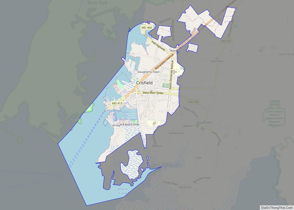
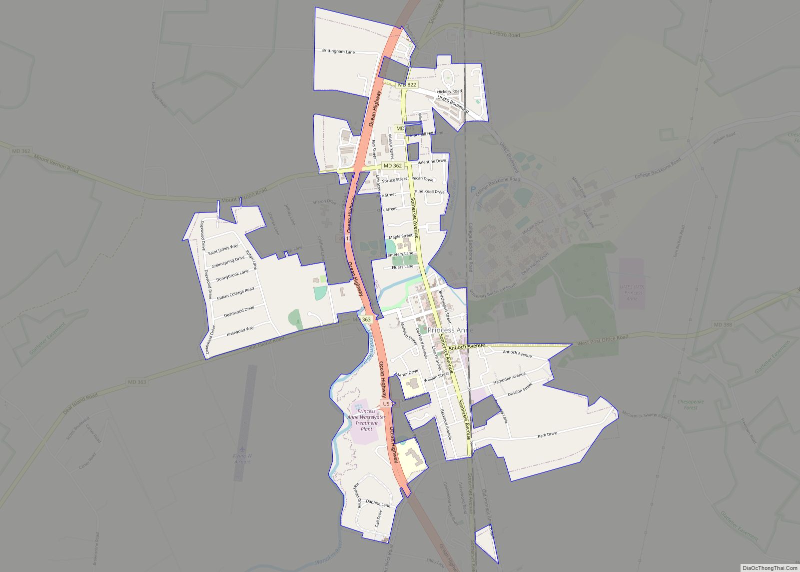
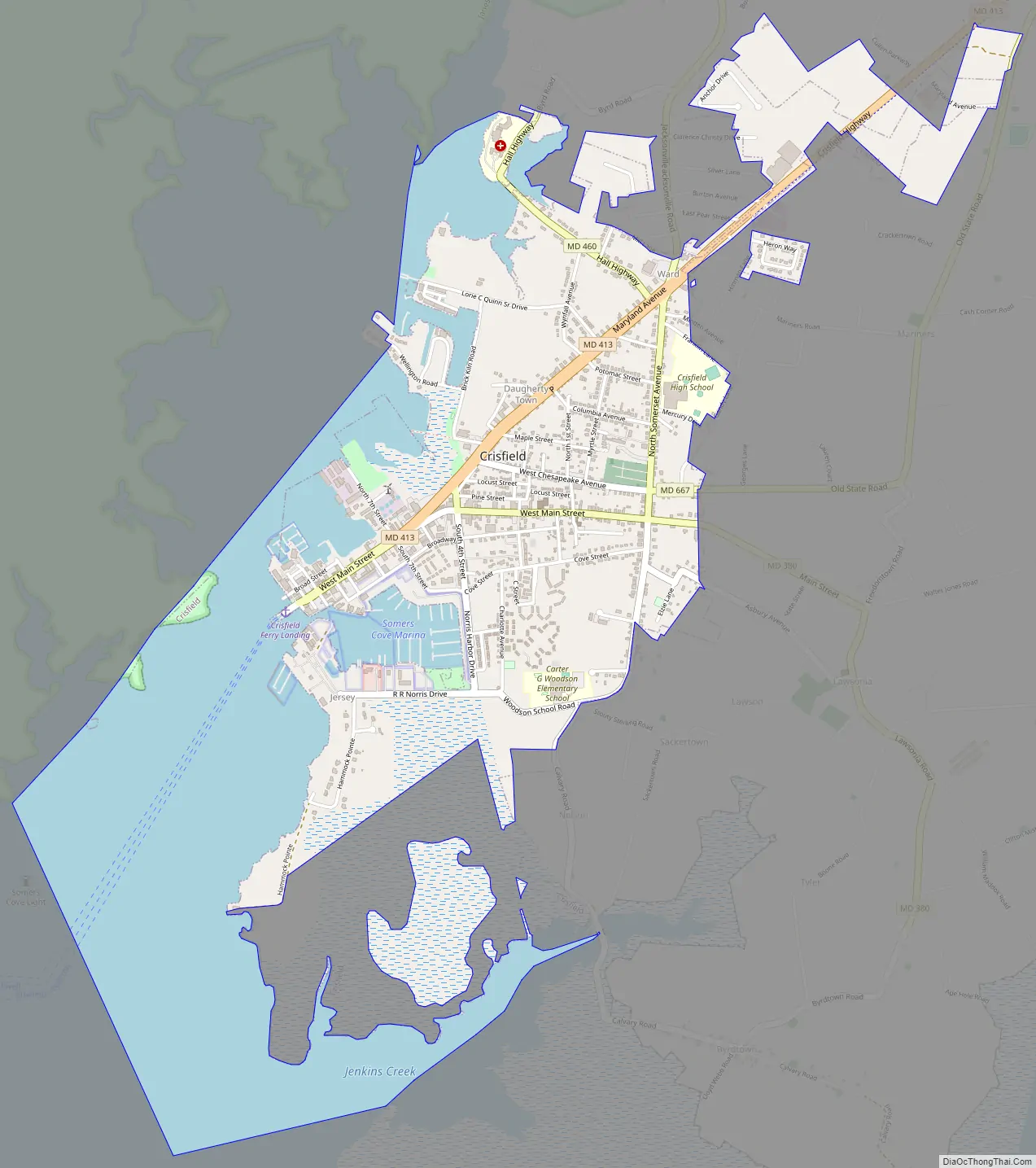
Crisfield Road Map
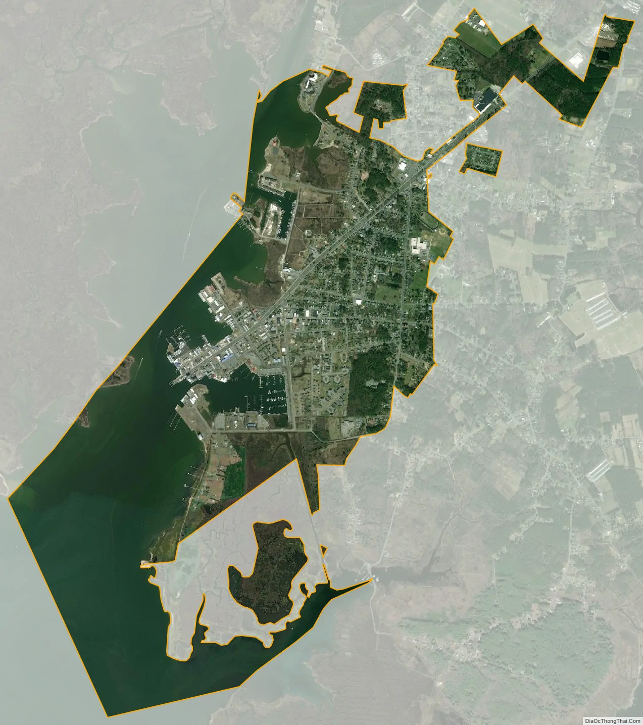
Crisfield city Satellite Map
Geography
Crisfield is a very compact city, with little vacant land. According to the United States Census Bureau, the city has a total area of 3.06 square miles (7.93 km), of which 1.62 square miles (4.20 km) (53.0%) is land and 1.44 square miles (3.73 km) (47.0%) is water. As one of the southern points on the Delmarva Peninsula and one very close to the Chesapeake Bay, the city is extremely flat, with the elevation never rising above 3 feet (0.91 m).
The city of Crisfield is surrounded by salt marshes and was built on a floodplain. The downtown is especially prone to flooding during large storms and hurricanes. On October 29, 2012, Hurricane Sandy’s storm surge left most of the city underwater. Ongoing local concerns about flooding and the impact of sea level rise were featured in The Washington Post in October 2013.
Crisfield is the southernmost city in the state of Maryland; the point farthest south is geographically located at Ape Hole. Regardless of this, Southern Maryland is an official region of the state not associated with the Eastern Shore, and areas of Saint Mary’s County are sometimes claimed to be the southernmost point of the state.
Climate
Crisfield’s location on the Atlantic Coastal Plain in Maryland gives it a humid subtropical climate, with hot, humid summers and cool to mild winters. Its proximity to water, as well as a common trend on the Delmarva Peninsula, means that the city does not see much snowfall in the winters; meaning Crisfield as well as Inner Harbor Baltimore, and the border of Assateague Island on the Atlantic Barrier Island are the only hardiness zone 8a examples in Maryland.
See also
Map of Maryland State and its subdivision: Map of other states:- Alabama
- Alaska
- Arizona
- Arkansas
- California
- Colorado
- Connecticut
- Delaware
- District of Columbia
- Florida
- Georgia
- Hawaii
- Idaho
- Illinois
- Indiana
- Iowa
- Kansas
- Kentucky
- Louisiana
- Maine
- Maryland
- Massachusetts
- Michigan
- Minnesota
- Mississippi
- Missouri
- Montana
- Nebraska
- Nevada
- New Hampshire
- New Jersey
- New Mexico
- New York
- North Carolina
- North Dakota
- Ohio
- Oklahoma
- Oregon
- Pennsylvania
- Rhode Island
- South Carolina
- South Dakota
- Tennessee
- Texas
- Utah
- Vermont
- Virginia
- Washington
- West Virginia
- Wisconsin
- Wyoming