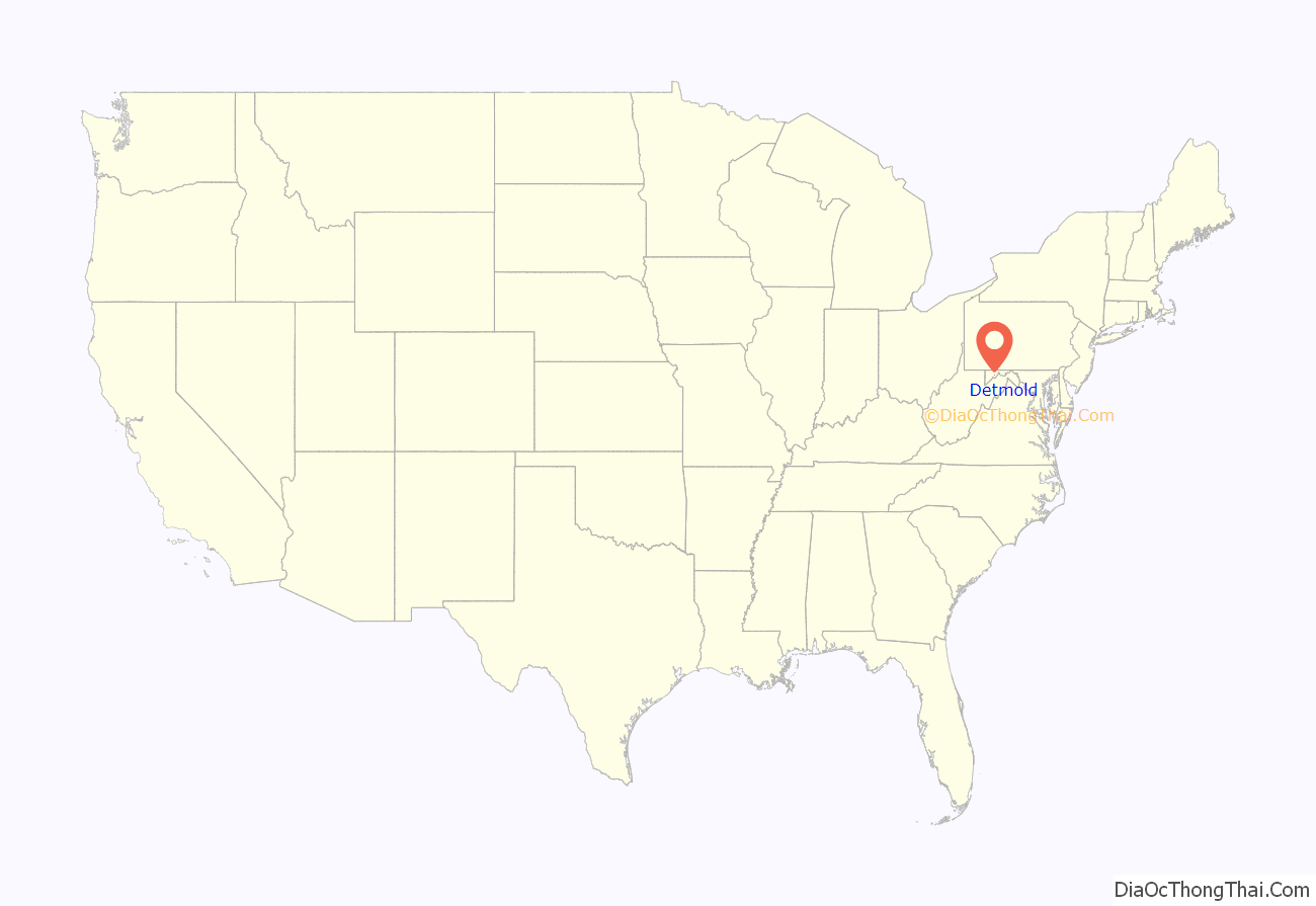
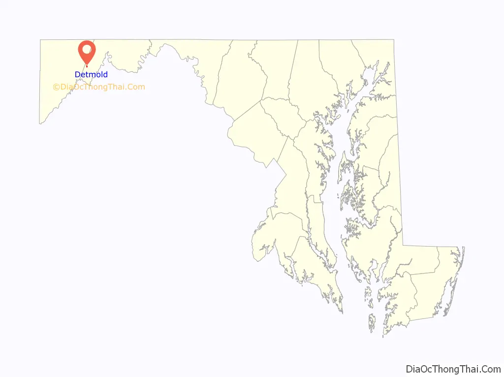
Detmold is an unincorporated community and census-designated place (CDP) in Allegany County, Maryland, United States. As of the 2010 census it had a population of 71.
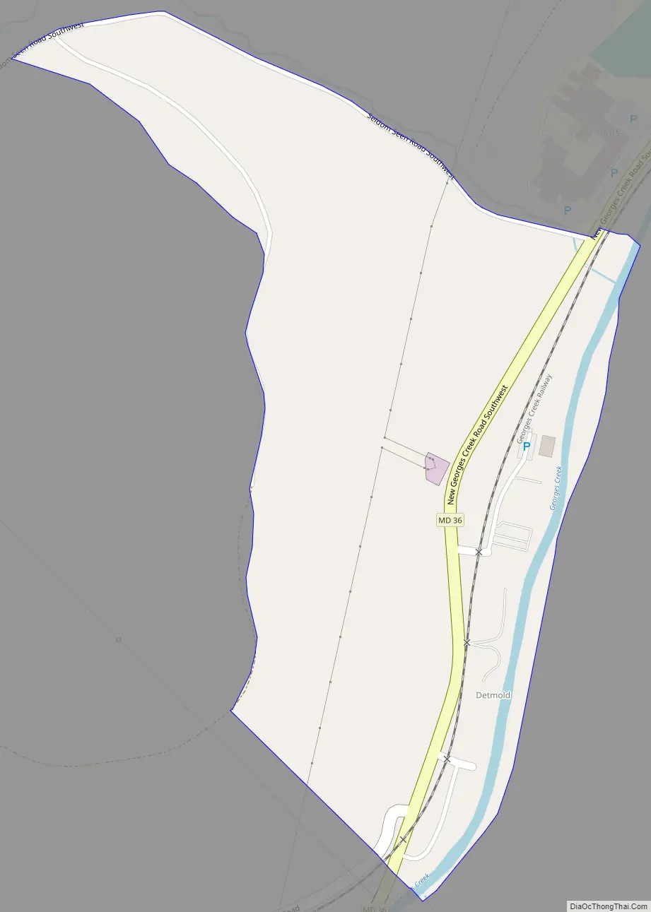
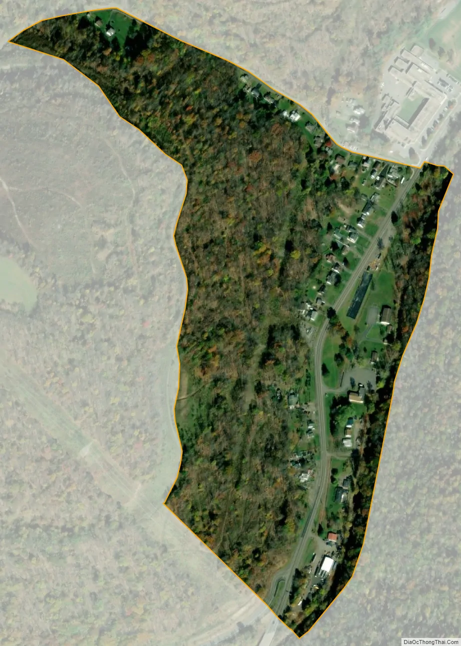
Detmold is in western Allegany County along Maryland Route 36, which leads north 9 miles (14 km) to Frostburg and 7 miles (11 km) south to Westernport. The town is in the valley of Georges Creek between two high ridges: Big Savage Mountain to the northwest, and Dans Mountain to the southeast. The town is named for Christian Edward Detmold of Lonaconing Iron Furnace fame. It is south of Lonaconing, along Route 36. It had a population of 71 in 2010.
| Name: | Detmold CDP |
|---|---|
| LSAD Code: | 57 |
| LSAD Description: | CDP (suffix) |
| State: | Maryland |
| County: | Allegany County |
| Elevation: | 1,410 ft (430 m) |
| Total Area: | 0.16 sq mi (0.41 km²) |
| Land Area: | 0.16 sq mi (0.41 km²) |
| Water Area: | 0.00 sq mi (0.00 km²) |
| Total Population: | 66 |
| Population Density: | 423.08/sq mi (162.88/km²) |
| FIPS code: | 2422825 |
| GNISfeature ID: | 2583608 |
Online Interactive Map
Click on ![]() to view map in "full screen" mode.
to view map in "full screen" mode.
Detmold location map. Where is Detmold CDP?
Detmold Road Map
Detmold city Satellite Map
See also
Map of Maryland State and its subdivision: Map of other states:- Alabama
- Alaska
- Arizona
- Arkansas
- California
- Colorado
- Connecticut
- Delaware
- District of Columbia
- Florida
- Georgia
- Hawaii
- Idaho
- Illinois
- Indiana
- Iowa
- Kansas
- Kentucky
- Louisiana
- Maine
- Maryland
- Massachusetts
- Michigan
- Minnesota
- Mississippi
- Missouri
- Montana
- Nebraska
- Nevada
- New Hampshire
- New Jersey
- New Mexico
- New York
- North Carolina
- North Dakota
- Ohio
- Oklahoma
- Oregon
- Pennsylvania
- Rhode Island
- South Carolina
- South Dakota
- Tennessee
- Texas
- Utah
- Vermont
- Virginia
- Washington
- West Virginia
- Wisconsin
- Wyoming


