Dundalk (/ˈdʌndɔːk/ DUN-dawk or /ˈdʌndɒk/ DUN-dok) is an unincorporated community and census-designated place in Baltimore County, Maryland, United States. The population was 67,796 at the 2020 census. In 1960 and 1970, Dundalk was the largest unincorporated community in Maryland. It was named after the town of Dundalk, Ireland. Dundalk is considered one of the first inner-ring suburbs of Baltimore.
| Name: | Dundalk CDP |
|---|---|
| LSAD Code: | 57 |
| LSAD Description: | CDP (suffix) |
| State: | Maryland |
| County: | Baltimore County |
| Founded: | 1856 |
| Elevation: | 16 ft (5 m) |
| Total Area: | 17.41 sq mi (45.10 km²) |
| Land Area: | 13.09 sq mi (33.90 km²) |
| Water Area: | 4.33 sq mi (11.20 km²) |
| Total Population: | 67,796 |
| Population Density: | 5,180.01/sq mi (2,000.08/km²) |
| ZIP code: | 21222 |
| Area code: | 410, 443, 667 |
| FIPS code: | 2423975 |
| GNISfeature ID: | 0590117 |
Online Interactive Map
Click on ![]() to view map in "full screen" mode.
to view map in "full screen" mode.
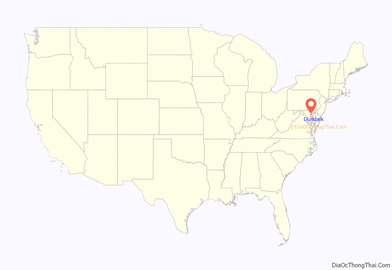
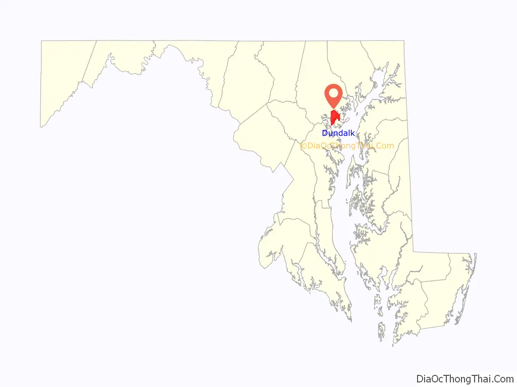
Dundalk location map. Where is Dundalk CDP?
History
The area now known as Dundalk was first explored by John Smith in 1608. Up until this time, the area had been occupied by the tribes of the Susqquehanna.
In 1856 Henry McShane, an immigrant from Ireland, established the McShane Bell Foundry on the banks of the Patapsco River in the then far southeastern outskirts of Baltimore. The foundry later relocated to the Patterson Park area of Baltimore until a fire during the 1940s caused it to move to 201 East Federal Street. In addition to bronze bells, the foundry once manufactured cast iron pipes and furnace fittings. When asked by the Baltimore and Sparrows Point Railroad for a name of a depot for the foundry, which was on their rail line, McShane wrote Dundalk, after the town of his birth, Dundalk, Ireland. In 1977 the foundry moved to its current location in Glen Burnie.
In 1916 the Bethlehem Steel purchased 1,000 acres (4.0 km) of farmland, near the McShane foundry, to develop housing for its shipyard workers. The Dundalk Company was formed to plan a town in the new style, similar to that of the Roland Park area of Baltimore, excluding businesses except at specific spots and leaving land for future development of schools, playing fields, and parks. By 1917 Dundalk proper was founded, at which point it had 62 houses, two stores, a post office, and a telephone exchange. Streets were laid out in a pedestrian-friendly open grid, with monikers like “Shipway”, “Northship”, “Flagship”, and “Admiral”. The two-story houses had steeply pitched roofs and stucco exteriors. As the demand for steel increased rapidly during World War 1, white workers streamed into Dundalk, pushing black workers into a small community nearby named Turner Station. Turner Station expanded even more during World War II as demand for steel increased even more.
Dundalk was once known as a “Little Appalachia” or a “hillbilly ghetto.” Before, during, and after World War II many Appalachian migrants settled in the Baltimore area, including Dundalk. Appalachian people who migrated to Dundalk were largely economic migrants who came looking for work.
The Dundalk Historic District was listed on the National Register of Historic Places in 1983.
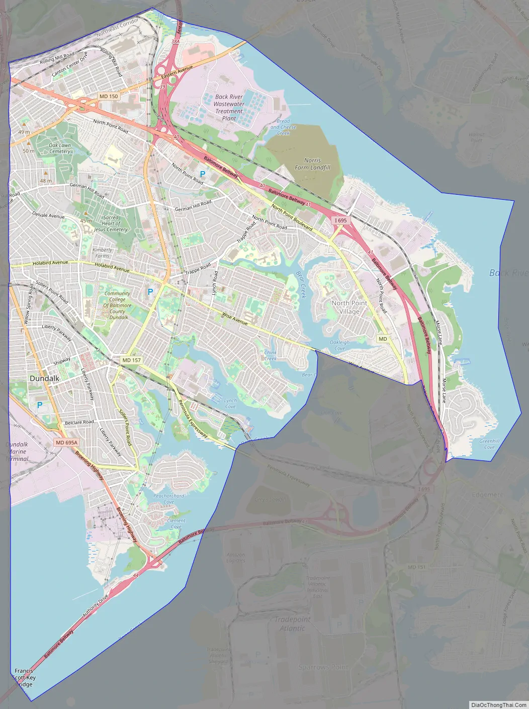
Dundalk Road Map
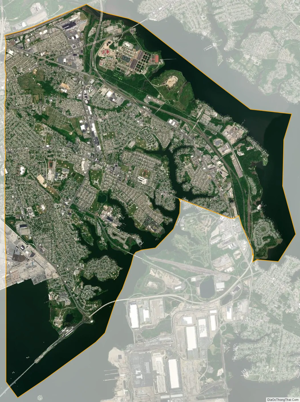
Dundalk city Satellite Map
Geography
According to the United States Census Bureau, the CDP has a total area of 17.4 square miles (45.0 km), of which 13.1 square miles (33.8 km) is land and 4.3 square miles (11.2 km), or 24.84%, is water.
Most of Dundalk is flat and very near sea level, with a few small hills close to the city of Baltimore to the west. Dundalk is part of the Atlantic Coastal Plain. Elevations range from sea level on the shore of the Chesapeake Bay to approximately 40 feet (12 m) above sea level along the northern reaches of Dundalk Avenue and North Point Boulevard.
Bread and Cheese Creek is a tributary of the Back River in Dundalk. The creek is 8.5 miles (13.7 km) long, with headwaters in Baltimore City. It flows through Dundalk before emptying into the Back River, which flows into the Chesapeake Bay. The watershed area of the creek is 1.85 square miles (4.8 km).
See also
Map of Maryland State and its subdivision: Map of other states:- Alabama
- Alaska
- Arizona
- Arkansas
- California
- Colorado
- Connecticut
- Delaware
- District of Columbia
- Florida
- Georgia
- Hawaii
- Idaho
- Illinois
- Indiana
- Iowa
- Kansas
- Kentucky
- Louisiana
- Maine
- Maryland
- Massachusetts
- Michigan
- Minnesota
- Mississippi
- Missouri
- Montana
- Nebraska
- Nevada
- New Hampshire
- New Jersey
- New Mexico
- New York
- North Carolina
- North Dakota
- Ohio
- Oklahoma
- Oregon
- Pennsylvania
- Rhode Island
- South Carolina
- South Dakota
- Tennessee
- Texas
- Utah
- Vermont
- Virginia
- Washington
- West Virginia
- Wisconsin
- Wyoming


