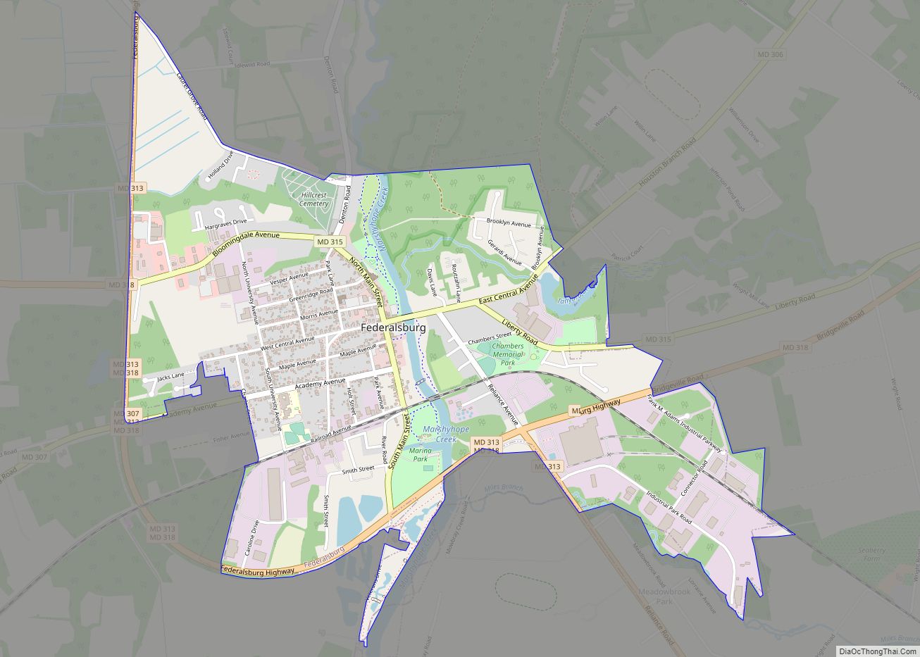
Federalsburg is a town in Caroline County, Maryland, United States. The population was 2,739 at the 2010 United States Census. It has one high school, Colonel Richardson High School.
| Name: | Federalsburg town |
|---|---|
| LSAD Code: | 43 |
| LSAD Description: | town (suffix) |
| State: | Maryland |
| County: | Caroline County |
| Incorporated: | 1823 |
| Elevation: | 3 ft (1 m) |
| Total Area: | 1.99 sq mi (5.14 km²) |
| Land Area: | 1.93 sq mi (5.00 km²) |
| Water Area: | 0.06 sq mi (0.15 km²) |
| Total Population: | 2,833 |
| Population Density: | 1,467.88/sq mi (566.73/km²) |
| ZIP code: | 21632 |
| Area code: | 410, 443, and 667 |
| FIPS code: | 2427900 |
| GNISfeature ID: | 0593884 |
| Website: | www.townoffederalsburg.org |
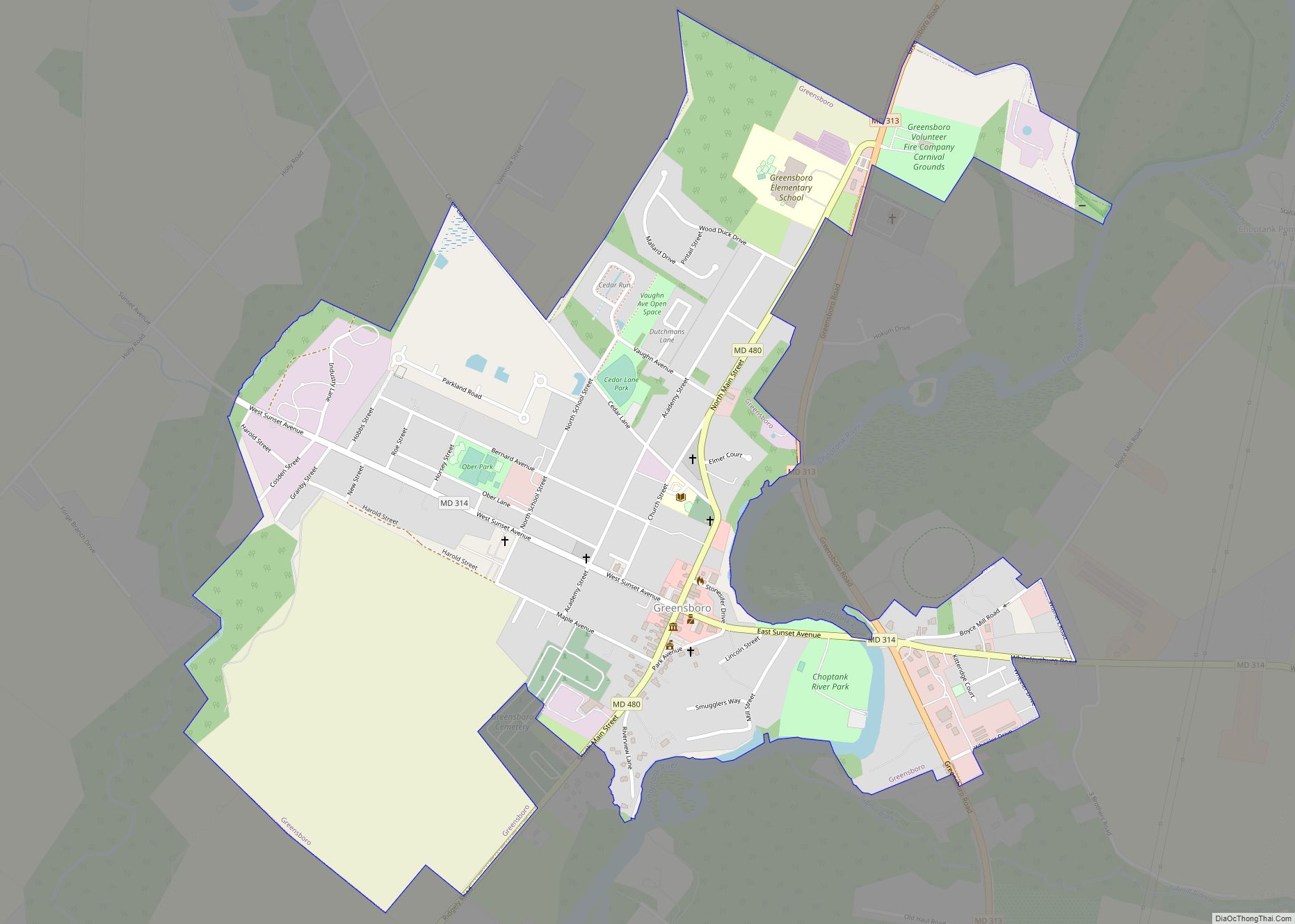
Online Interactive Map
Click on ![]() to view map in "full screen" mode.
to view map in "full screen" mode.
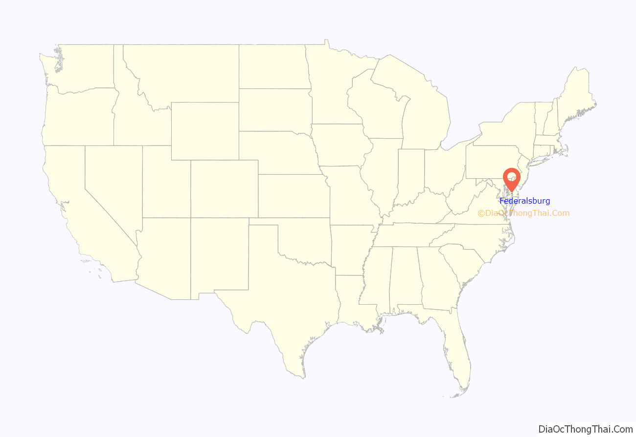
Federalsburg location map. Where is Federalsburg town?
History
According to a contemporary source, the town was named for the Federalist Party, which met there in 1812, and was incorporated in 1823. A 1905 source says that Federalsburg was so named because it was settled by people from northern states.
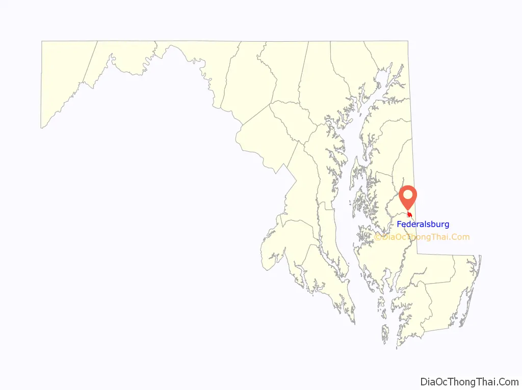
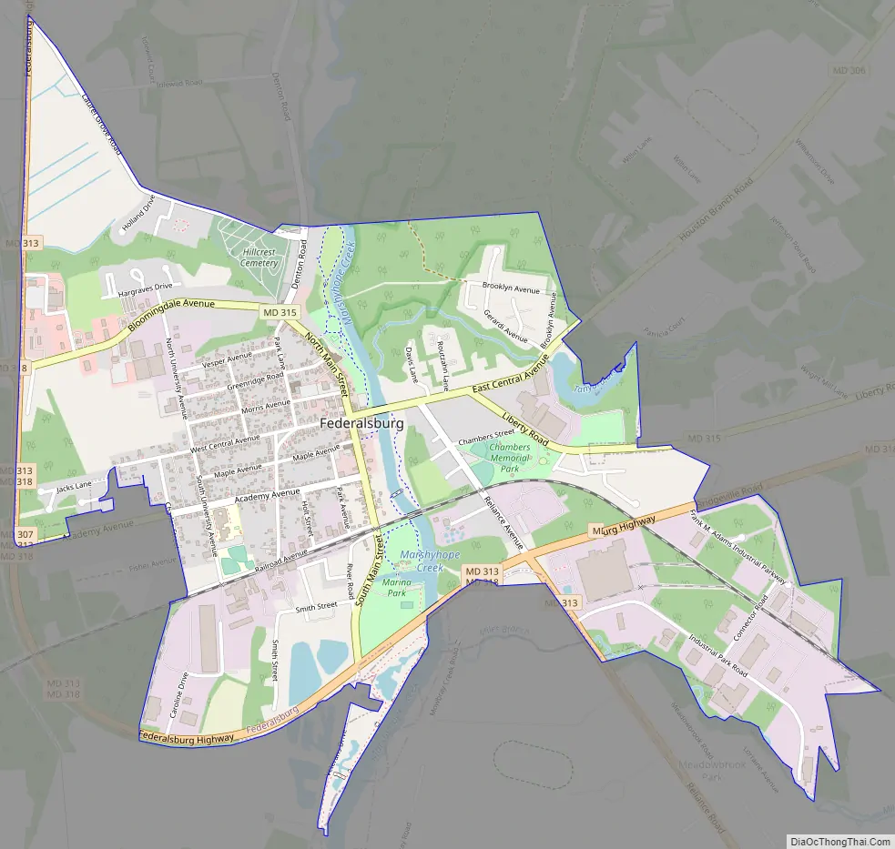
Federalsburg Road Map
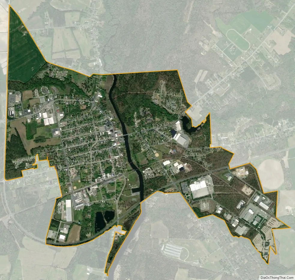
Federalsburg city Satellite Map
Geography
Federalsburg is located at 38°41′28″N 75°46′24″W / 38.69111°N 75.77333°W / 38.69111; -75.77333 (38.691126, -75.773296).
According to the United States Census Bureau, the town has a total area of 2.02 square miles (5.23 km), of which 1.93 square miles (5.00 km) is land and 0.09 square miles (0.23 km) is water.
See also
Map of Maryland State and its subdivision: Map of other states:- Alabama
- Alaska
- Arizona
- Arkansas
- California
- Colorado
- Connecticut
- Delaware
- District of Columbia
- Florida
- Georgia
- Hawaii
- Idaho
- Illinois
- Indiana
- Iowa
- Kansas
- Kentucky
- Louisiana
- Maine
- Maryland
- Massachusetts
- Michigan
- Minnesota
- Mississippi
- Missouri
- Montana
- Nebraska
- Nevada
- New Hampshire
- New Jersey
- New Mexico
- New York
- North Carolina
- North Dakota
- Ohio
- Oklahoma
- Oregon
- Pennsylvania
- Rhode Island
- South Carolina
- South Dakota
- Tennessee
- Texas
- Utah
- Vermont
- Virginia
- Washington
- West Virginia
- Wisconsin
- Wyoming