Hillsboro is a town in Caroline County, Maryland, United States. The population was 161 at the 2010 United States Census. Daffin House and St. Paul’s Episcopal Church were listed on the National Register of Historic Places in 1975.
| Name: | Hillsboro town |
|---|---|
| LSAD Code: | 43 |
| LSAD Description: | town (suffix) |
| State: | Maryland |
| County: | Caroline County |
| Incorporated: | 1853 |
| Elevation: | 39 ft (12 m) |
| Total Area: | 0.14 sq mi (0.35 km²) |
| Land Area: | 0.14 sq mi (0.35 km²) |
| Water Area: | 0.00 sq mi (0.00 km²) |
| Total Population: | 128 |
| Population Density: | 948.15/sq mi (365.27/km²) |
| ZIP code: | 21641 |
| Area code: | 410 |
| FIPS code: | 2439175 |
| GNISfeature ID: | 0584985 |
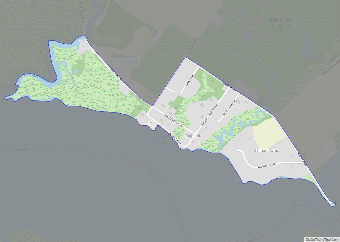
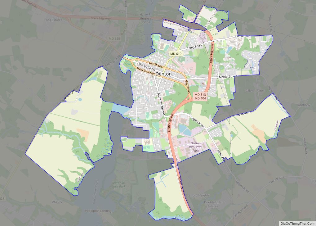
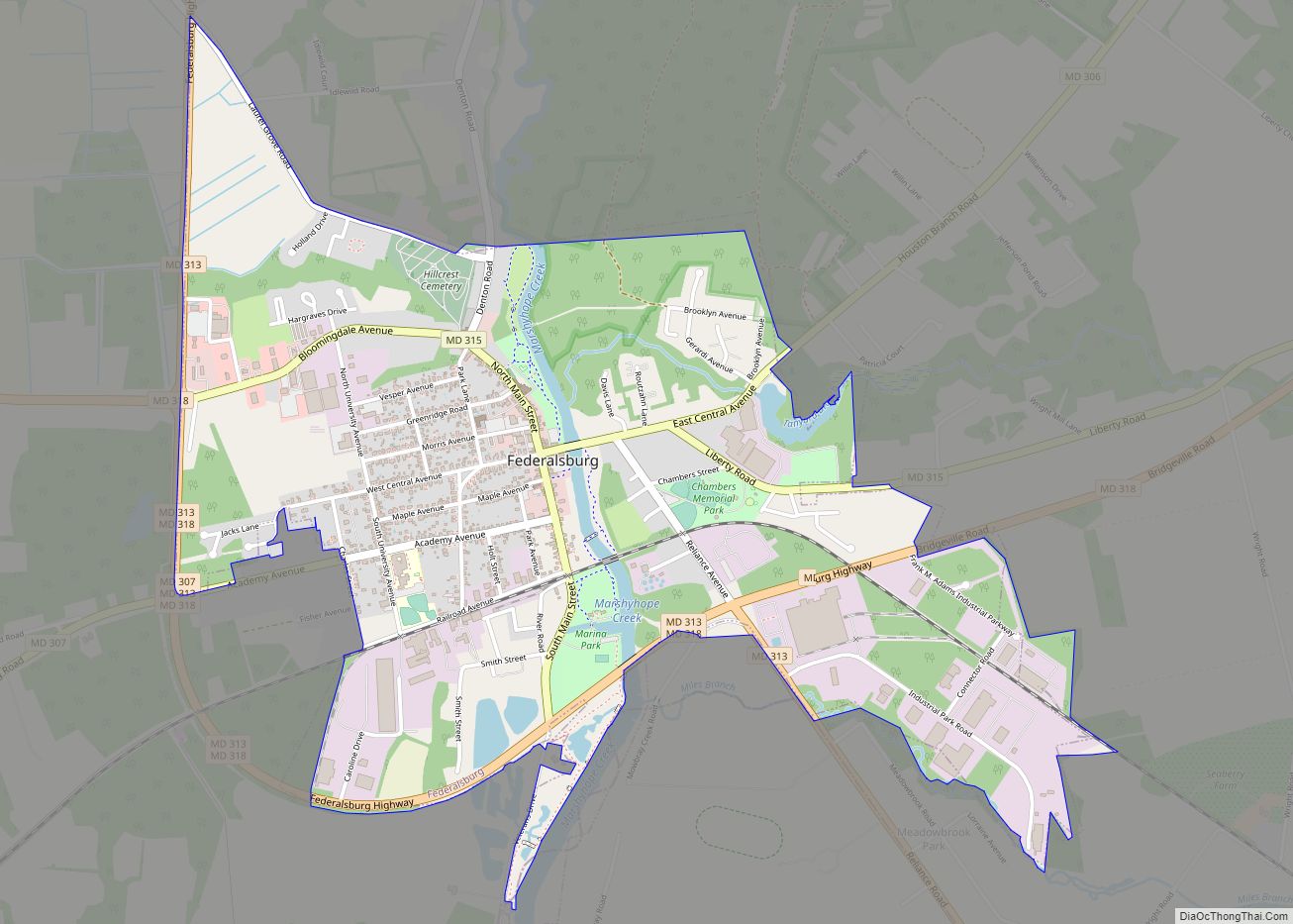
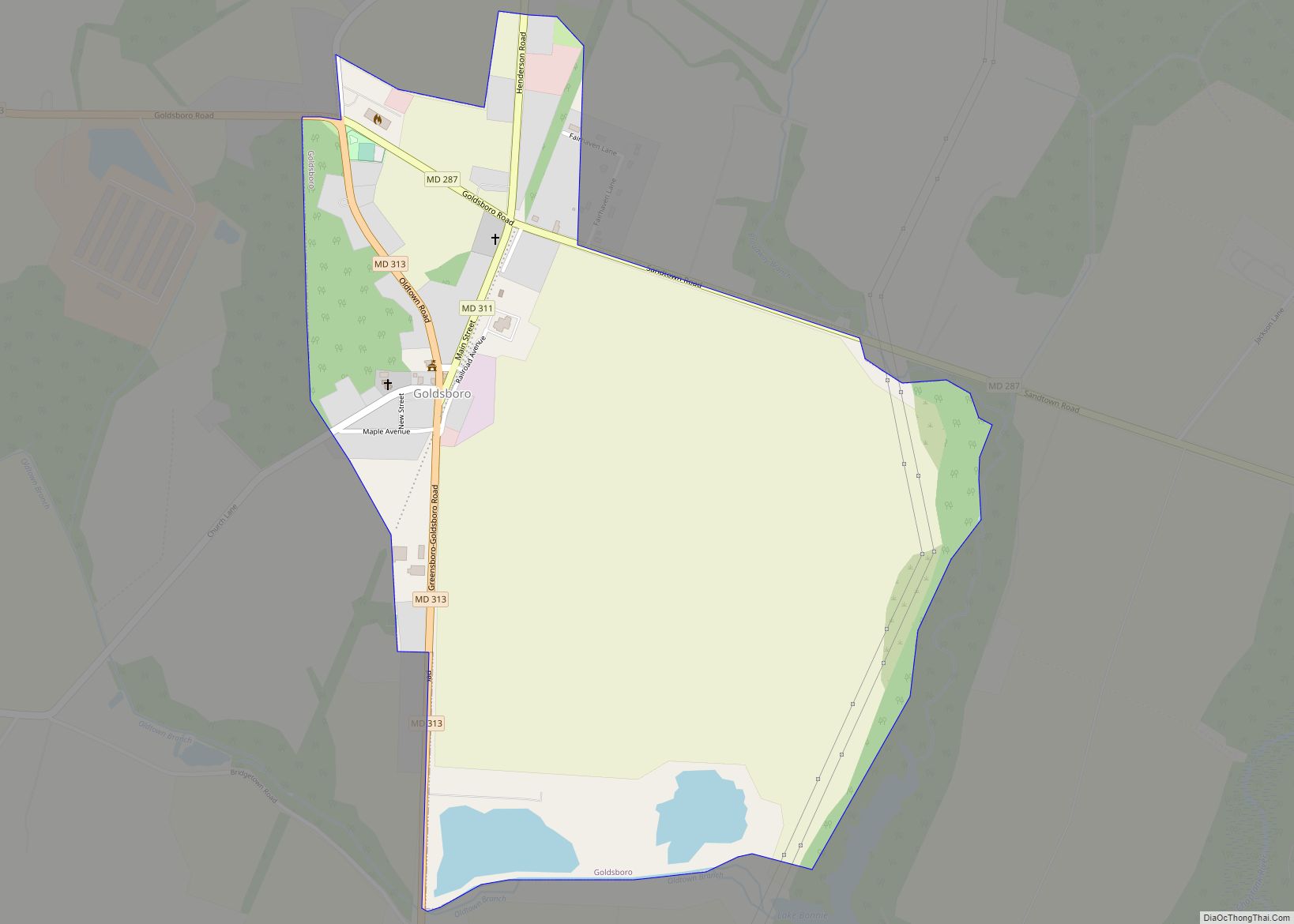
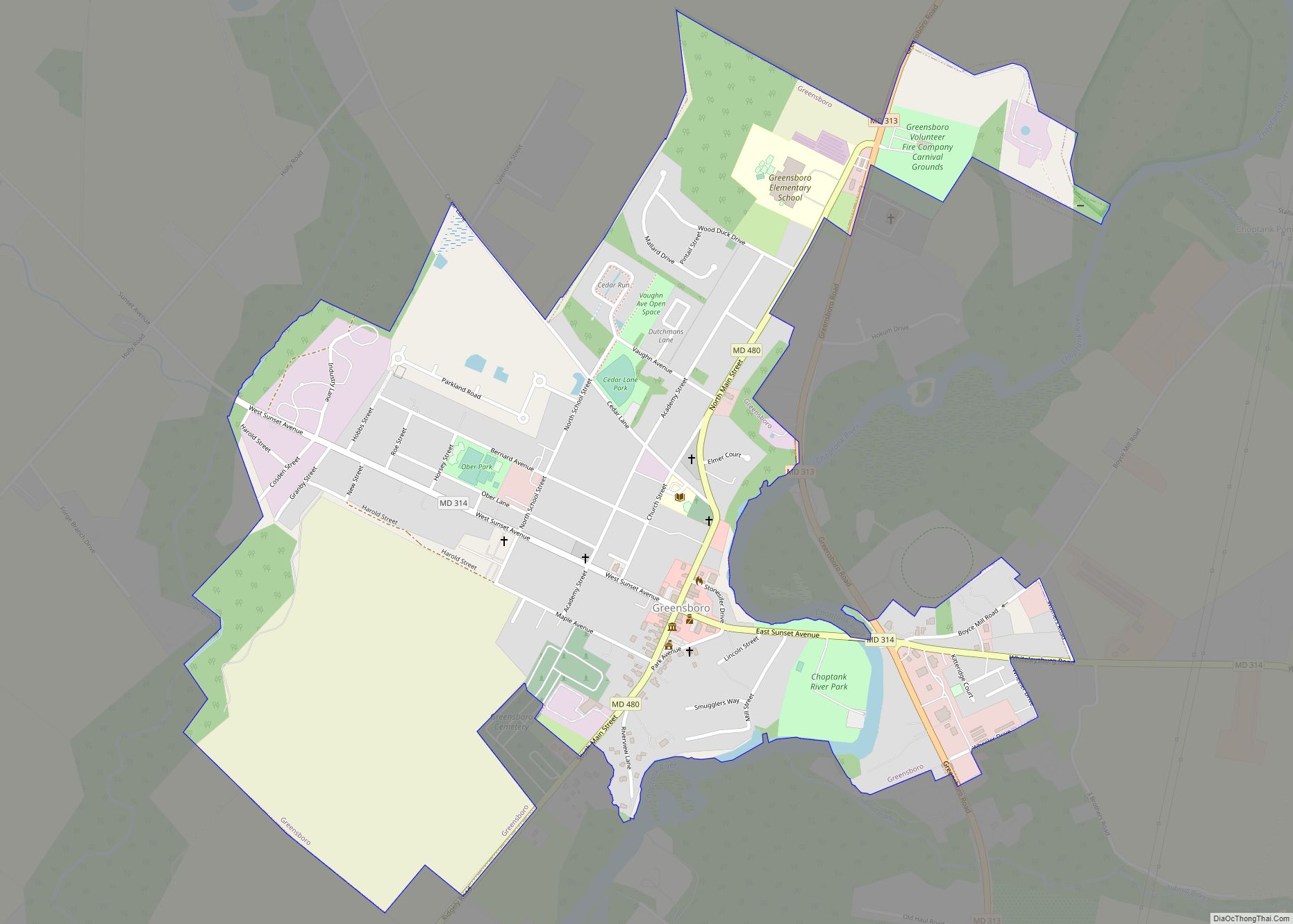
Online Interactive Map
Click on ![]() to view map in "full screen" mode.
to view map in "full screen" mode.
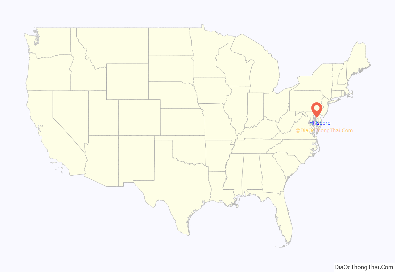
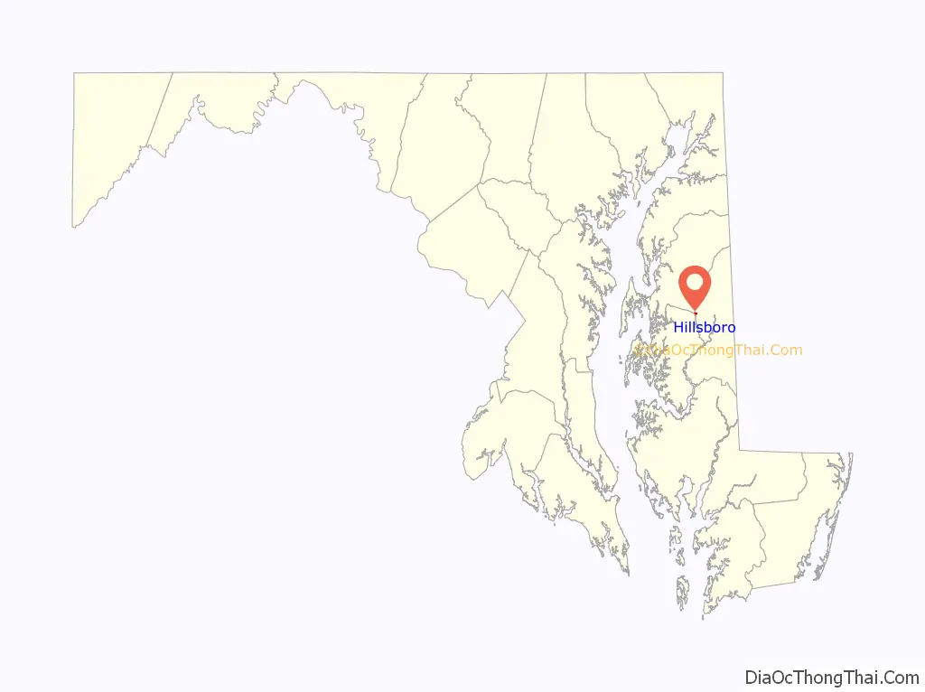
Hillsboro location map. Where is Hillsboro town?
History
Hillsboro is the oldest town in Caroline County. Evidence shows that as early as 1694 there was an Anglican chapel-of-ease located on the Eastern bank of the Tuckahoe.
Commercially Hillsboro was the site of a tobacco warehouse, one or more general stores, a shoe factory, and a tavern, but its chief claim to fame lies within the spiritual and cultural fields.
Painter Charles Willson Peale briefly resided in Hillsboro.
The first newspaper to be published in Caroline County was published in Hillsboro in 1831 by Lucas Brothers.
Hillsboro previously known as Tuckahoe Bridge was named in the honor of Lord Hillsboro of the Calvert Family. In 1804 there was a fever epidemic in Hillsboro then again in 1816; both occurred in the same house the Seller residence. Hillsboro was the site of the Tri-County fair and the meeting place of Congressional Conventions.
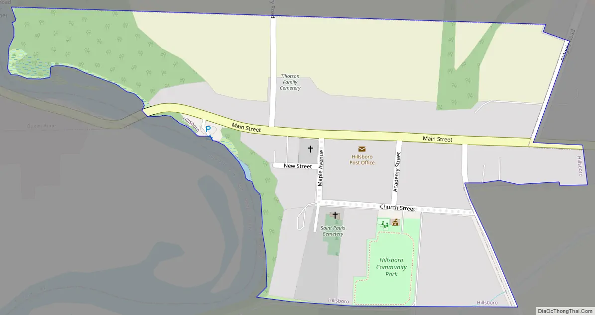
Hillsboro Road Map
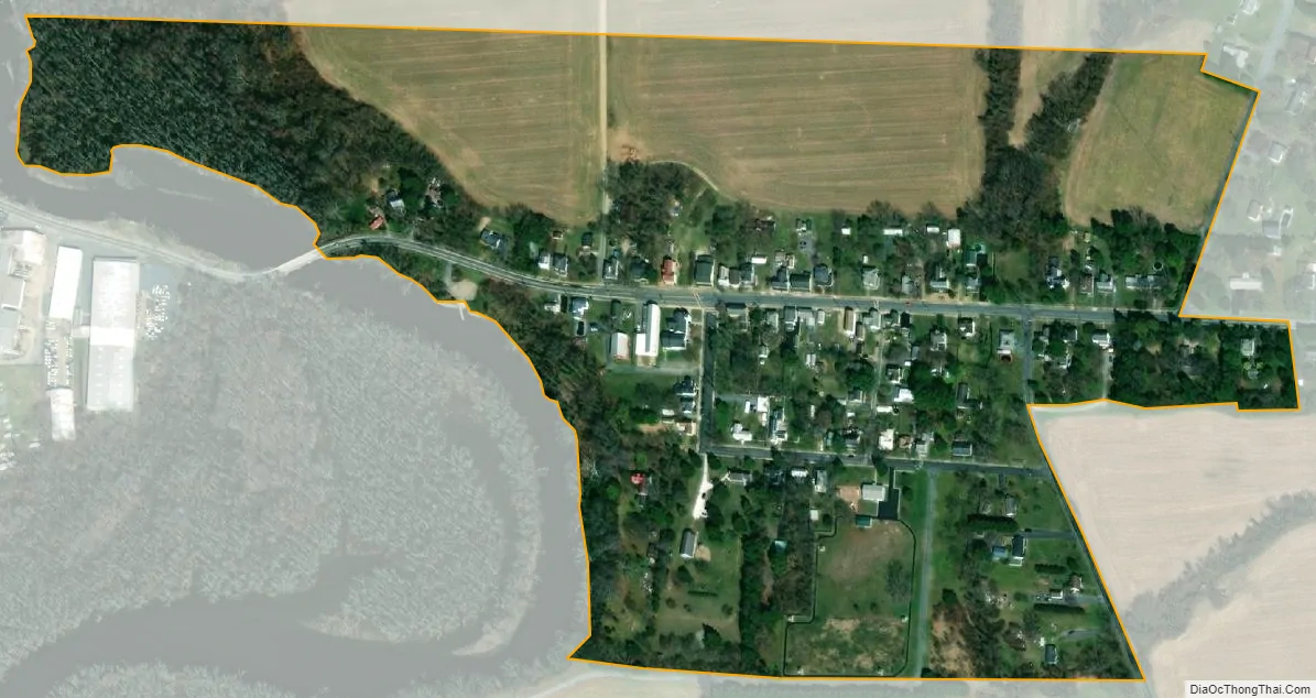
Hillsboro city Satellite Map
Geography
Hillsboro is located at 38°54′59″N 75°56′29″W / 38.91639°N 75.94139°W / 38.91639; -75.94139 (38.916284, -75.941354).
According to the United States Census Bureau, the town has a total area of 0.15 square miles (0.39 km), all land.
Climate
The climate in this area is characterized by hot, humid summers and generally mild to cool winters. According to the Köppen Climate Classification system, Hillsboro has a humid subtropical climate, abbreviated “Cfa” on climate maps.
See also
Map of Maryland State and its subdivision: Map of other states:- Alabama
- Alaska
- Arizona
- Arkansas
- California
- Colorado
- Connecticut
- Delaware
- District of Columbia
- Florida
- Georgia
- Hawaii
- Idaho
- Illinois
- Indiana
- Iowa
- Kansas
- Kentucky
- Louisiana
- Maine
- Maryland
- Massachusetts
- Michigan
- Minnesota
- Mississippi
- Missouri
- Montana
- Nebraska
- Nevada
- New Hampshire
- New Jersey
- New Mexico
- New York
- North Carolina
- North Dakota
- Ohio
- Oklahoma
- Oregon
- Pennsylvania
- Rhode Island
- South Carolina
- South Dakota
- Tennessee
- Texas
- Utah
- Vermont
- Virginia
- Washington
- West Virginia
- Wisconsin
- Wyoming