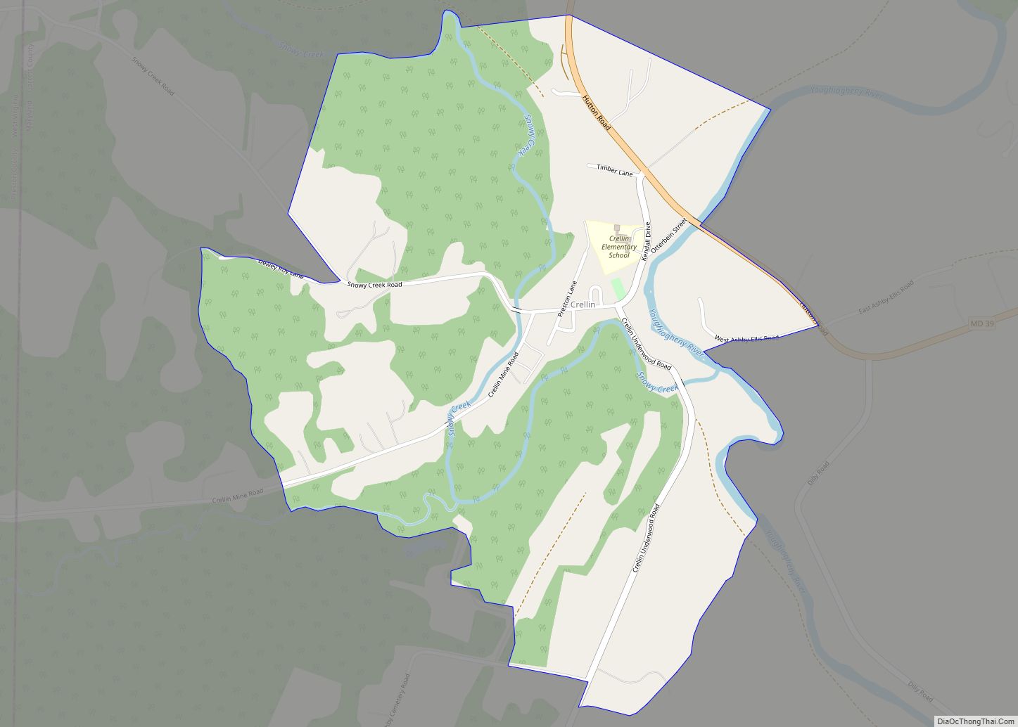
Hutton is an unincorporated community and census-designated place (CDP) in Garrett County, Maryland, United States. Variant names for Hutton include Huttons Switch Station and Kindness.
The population was 86 at the 2010 census, which was up from a population of 29 recorded in the 2000 census.
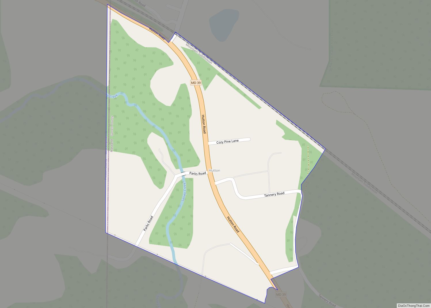
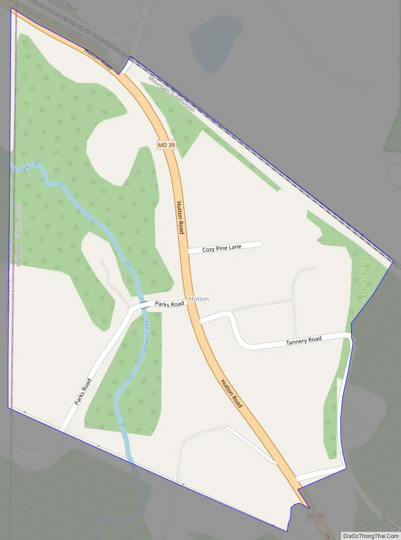
Hutton is located on Maryland Route 39 adjacent to the West Virginia border. MD 39 leads east 6 miles (10 km) to Oakland, the Garrett County seat, and West Virginia Route 7 leads northwest from the state line 4 miles (6 km) to Terra Alta, West Virginia.
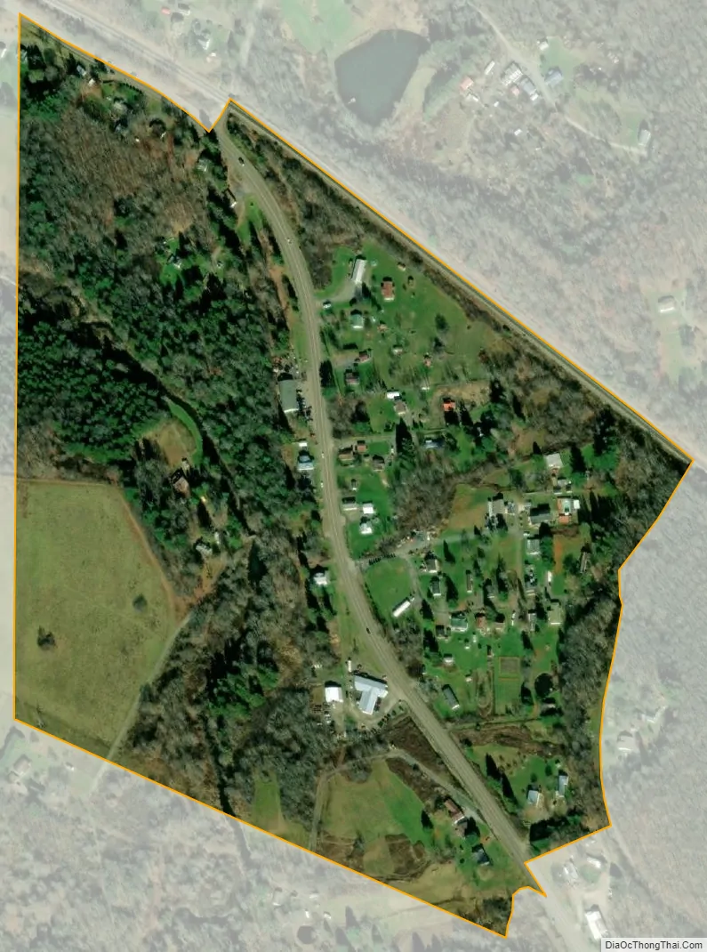
The Hutton CDP has an area of 0.17 square miles (0.44 km), all of it land. The community is in the valley of Snowy Creek, a southeast-flowing tributary of the Youghiogheny River.
| Name: | Hutton CDP |
|---|---|
| LSAD Code: | 57 |
| LSAD Description: | CDP (suffix) |
| State: | Maryland |
| County: | Garrett County |
| Elevation: | 2,420 ft (740 m) |
| Total Area: | 0.16 sq mi (0.42 km²) |
| Land Area: | 0.16 sq mi (0.42 km²) |
| Water Area: | 0.00 sq mi (0.00 km²) |
| Total Population: | 87 |
| Population Density: | 530.49/sq mi (205.27/km²) |
| ZIP code: | 21550 |
| FIPS code: | 2441175 |
| GNISfeature ID: | 590525 |
Online Interactive Map
Click on ![]() to view map in "full screen" mode.
to view map in "full screen" mode.
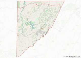
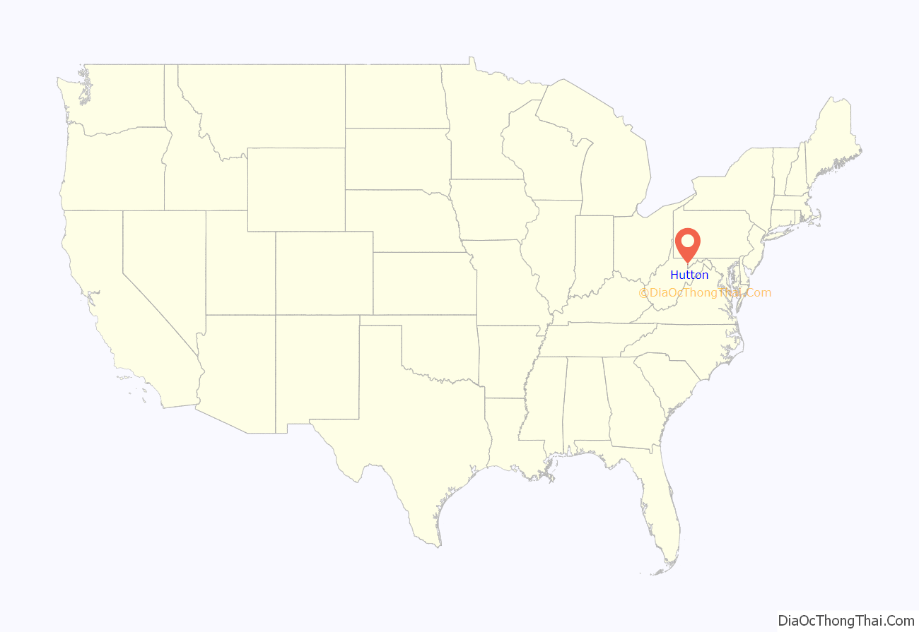
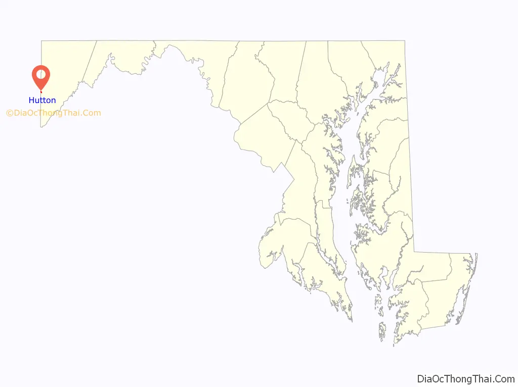
Hutton location map. Where is Hutton CDP?
Hutton Road Map
Hutton city Satellite Map
See also
Map of Maryland State and its subdivision: Map of other states:- Alabama
- Alaska
- Arizona
- Arkansas
- California
- Colorado
- Connecticut
- Delaware
- District of Columbia
- Florida
- Georgia
- Hawaii
- Idaho
- Illinois
- Indiana
- Iowa
- Kansas
- Kentucky
- Louisiana
- Maine
- Maryland
- Massachusetts
- Michigan
- Minnesota
- Mississippi
- Missouri
- Montana
- Nebraska
- Nevada
- New Hampshire
- New Jersey
- New Mexico
- New York
- North Carolina
- North Dakota
- Ohio
- Oklahoma
- Oregon
- Pennsylvania
- Rhode Island
- South Carolina
- South Dakota
- Tennessee
- Texas
- Utah
- Vermont
- Virginia
- Washington
- West Virginia
- Wisconsin
- Wyoming