LaVale is a census-designated place (CDP) in Allegany County, Maryland, United States. It is part of the Cumberland, MD-WV Metropolitan Statistical Area. The population was 3,551 at the 2010 census.
| Name: | La Vale CDP |
|---|---|
| LSAD Code: | 57 |
| LSAD Description: | CDP (suffix) |
| State: | Maryland |
| County: | Allegany County |
| Elevation: | 784 ft (239 m) |
| Total Area: | 9.12 sq mi (23.61 km²) |
| Land Area: | 9.11 sq mi (23.60 km²) |
| Water Area: | 0.00 sq mi (0.01 km²) |
| Total Population: | 4,201 |
| Population Density: | 460.99/sq mi (177.99/km²) |
| ZIP code: | 21502, 21504 |
| Area code: | 301, 240 |
| FIPS code: | 2446075 |
| GNISfeature ID: | 0590618 |
Online Interactive Map
Click on ![]() to view map in "full screen" mode.
to view map in "full screen" mode.
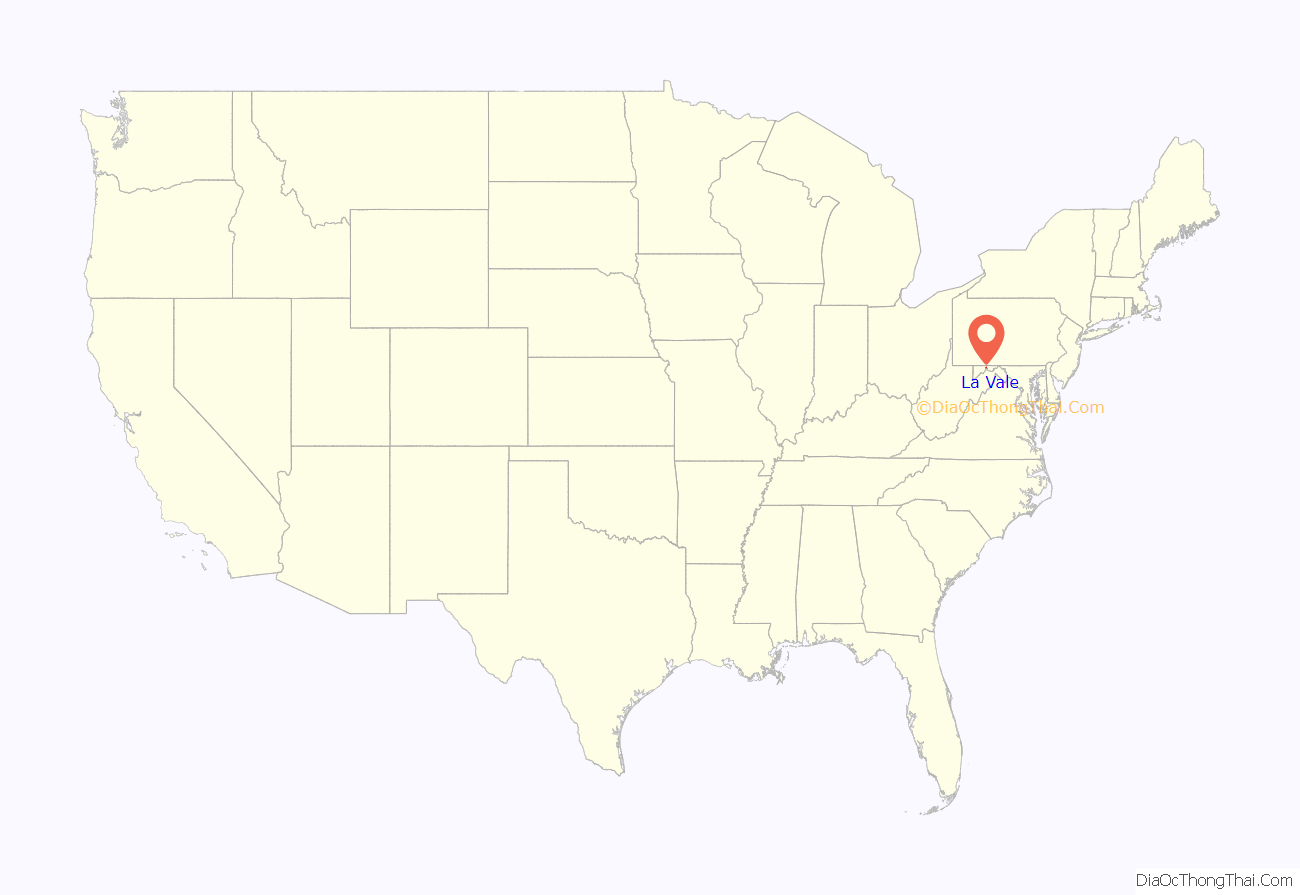
La Vale location map. Where is La Vale CDP?
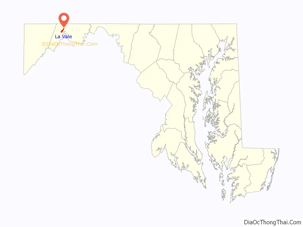
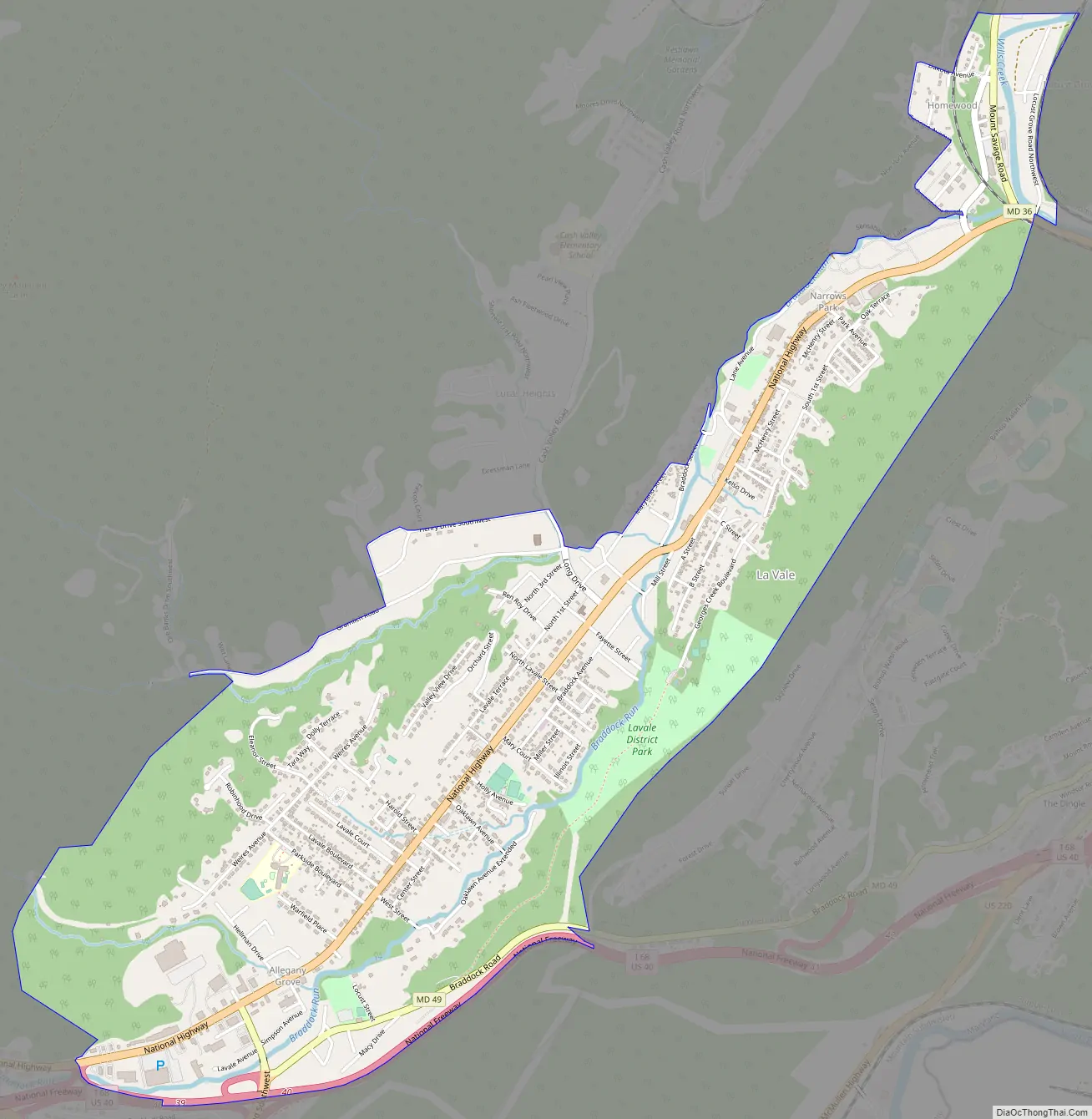
La Vale Road Map
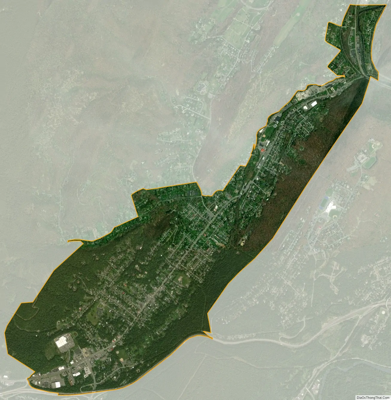
La Vale city Satellite Map
Geography
LaVale is located at 39°39′17″N 78°48′46″W / 39.654737°N 78.812691°W / 39.654737; -78.812691, in the shadow of Haystack Mountain. To the east is Cumberland and the very scenic Narrows, a water gap between Haystack Mountain to the south and Wills Mountain to the north. To the west is Piney Mountain and Frostburg. LaVale is on the Old National Pike. LaVale is a business center that contains the largest concentration of retail and the only indoor shopping mall, Country Club Mall, in the Cumberland metro area.
The LaVale Tollgate House was listed on the National Register of Historic Places in 1971.
According to the United States Census Bureau, the CDP has a total area of 2.7 square miles (6.9 km), all land.
See also
Map of Maryland State and its subdivision: Map of other states:- Alabama
- Alaska
- Arizona
- Arkansas
- California
- Colorado
- Connecticut
- Delaware
- District of Columbia
- Florida
- Georgia
- Hawaii
- Idaho
- Illinois
- Indiana
- Iowa
- Kansas
- Kentucky
- Louisiana
- Maine
- Maryland
- Massachusetts
- Michigan
- Minnesota
- Mississippi
- Missouri
- Montana
- Nebraska
- Nevada
- New Hampshire
- New Jersey
- New Mexico
- New York
- North Carolina
- North Dakota
- Ohio
- Oklahoma
- Oregon
- Pennsylvania
- Rhode Island
- South Carolina
- South Dakota
- Tennessee
- Texas
- Utah
- Vermont
- Virginia
- Washington
- West Virginia
- Wisconsin
- Wyoming


