Lonaconing is a town in Allegany County, Maryland, United States, located along the Georges Creek Valley. It is part of the Cumberland, MD–WV Metropolitan Statistical Area. The population was 1,214 at the 2010 census.
| Name: | Lonaconing town |
|---|---|
| LSAD Code: | 43 |
| LSAD Description: | town (suffix) |
| State: | Maryland |
| County: | Allegany County |
| Incorporated: | 1890 |
| Elevation: | 1,490 ft (454 m) |
| Total Area: | 0.36 sq mi (0.94 km²) |
| Land Area: | 0.36 sq mi (0.94 km²) |
| Water Area: | 0.00 sq mi (0.00 km²) |
| Total Population: | 1,001 |
| Population Density: | 2,765.19/sq mi (1,067.89/km²) |
| ZIP code: | 21539 |
| Area code: | 301, 240 |
| FIPS code: | 2447875 |
| GNISfeature ID: | 0590691 |
Online Interactive Map
Click on ![]() to view map in "full screen" mode.
to view map in "full screen" mode.
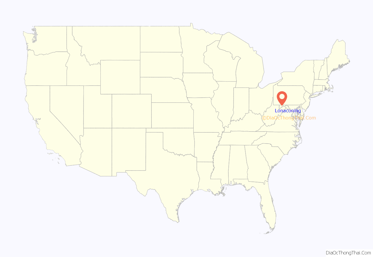
Lonaconing location map. Where is Lonaconing town?
History
The first non-Native American settlers in the late 18th century were explorers, hunters and farmers. Surnames of some of the first settlers were Dye, Duckworth, Green, Grindle, Fazenbaker, Grove, VanBuskirk, Knapp, and Miller. The first stone house, built in 1790, in Knapps Meadow, just north of Lonaconing, was owned by Samuel VanBuskirk. The house still stands and is a private residence as of 2016. [1] The Lonaconing Historic District was listed on the National Register of Historic Places in 1983.
Lonaconing is the birthplace of Baseball Hall of Fame pitcher Robert Moses (“Lefty”) Grove, (1900-1975), who played notably for the old Baltimore Orioles, 1920–1925, during their famous string of six straight championships in the “Triple A” (AAA) minor league level of the International League, and later for Connie Mack’s Philadelphia Athletics, (1925-1933) and the Boston Red Sox, 1934–1941, of the American League. Grove’s “Most Valuable Player” Award is the only one not on display at the National Baseball Hall of Fame in Cooperstown, New York, as it is displayed at the George’s Creek Library of the Western Maryland Regional Library system.
On January 20, 2021, the fourth largest Powerball and sixth largest lottery jackpot ticket in U.S. history was sold at Coney Market, a convenience store in Lonaconing, to an anonymous winner.
Lonaconing glassware manufacturers
- 1914-1915: Dugan Glass
- 1914-1918: Lonaconing Glass
- 1919-1929: Utility Glass Works
- 1930-1934: Sloan Bros Glass Company
Early mining railroads
Iron and coal companies in Lonaconing built railroads in the 1840s, in anticipation of connecting with the Baltimore and Ohio Railroad (B&O) and the Chesapeake and Ohio Canal. Some of these mining companies owned and operated their own railroad equipment. The Georges Creek Rail Road was built south from Lonaconing to connect with the Baltimore & Ohio at Piedmont(WV) All of the rail lines were absorbed into the Cumberland and Pennsylvania Railroad (C&P) by 1870.
The Lonaconing Furnace (1836–1855)
The Georges Creek Coal and Iron Company constructed and operated a blast furnace in Lonaconing from 1836 to 1855 along with constructing and operating the related Georges Creek Railroad from 1851 to 1863. The Lonaconing Furnace was listed on the National Register of Historic Places in 1973.
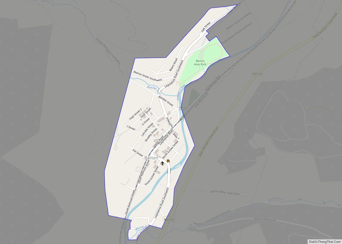
Lonaconing Road Map
Lonaconing city Satellite Map
Geography
Lonaconing is located at 39°33′54″N 78°58′46″W / 39.56500°N 78.97944°W / 39.56500; -78.97944 (39.564884, -78.979312).
According to the United States Census Bureau, the town has a total area of 0.41 square miles (1.06 km), all land.
See also
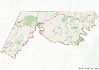
Map of Maryland State and its subdivision: Map of other states:- Alabama
- Alaska
- Arizona
- Arkansas
- California
- Colorado
- Connecticut
- Delaware
- District of Columbia
- Florida
- Georgia
- Hawaii
- Idaho
- Illinois
- Indiana
- Iowa
- Kansas
- Kentucky
- Louisiana
- Maine
- Maryland
- Massachusetts
- Michigan
- Minnesota
- Mississippi
- Missouri
- Montana
- Nebraska
- Nevada
- New Hampshire
- New Jersey
- New Mexico
- New York
- North Carolina
- North Dakota
- Ohio
- Oklahoma
- Oregon
- Pennsylvania
- Rhode Island
- South Carolina
- South Dakota
- Tennessee
- Texas
- Utah
- Vermont
- Virginia
- Washington
- West Virginia
- Wisconsin
- Wyoming
