McCoole is an unincorporated community and census-designated place (CDP) in Allegany County, Maryland, United States. As of the 2010 census it had a population of 511.
McCoole is located at the intersection of U.S. Route 220 and the east end of Maryland Route 135. It lies directly across the North Branch Potomac River from Keyser, West Virginia. McCoole had its own post office in operation from 1903 to 1910.
| Name: | McCoole CDP |
|---|---|
| LSAD Code: | 57 |
| LSAD Description: | CDP (suffix) |
| State: | Maryland |
| County: | Allegany County |
| Elevation: | 830 ft (250 m) |
| Total Area: | 1.40 sq mi (3.64 km²) |
| Land Area: | 1.40 sq mi (3.64 km²) |
| Water Area: | 0.00 sq mi (0.00 km²) |
| Total Population: | 449 |
| Population Density: | 319.80/sq mi (123.43/km²) |
| ZIP code: | 21562 |
| FIPS code: | 2449325 |
| GNISfeature ID: | 2583651 |
Online Interactive Map
Click on ![]() to view map in "full screen" mode.
to view map in "full screen" mode.
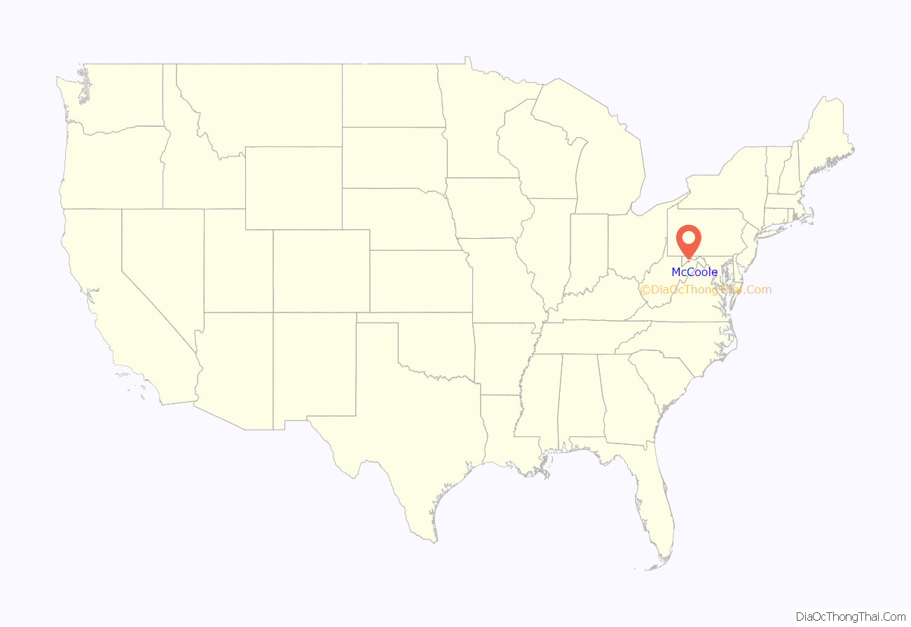
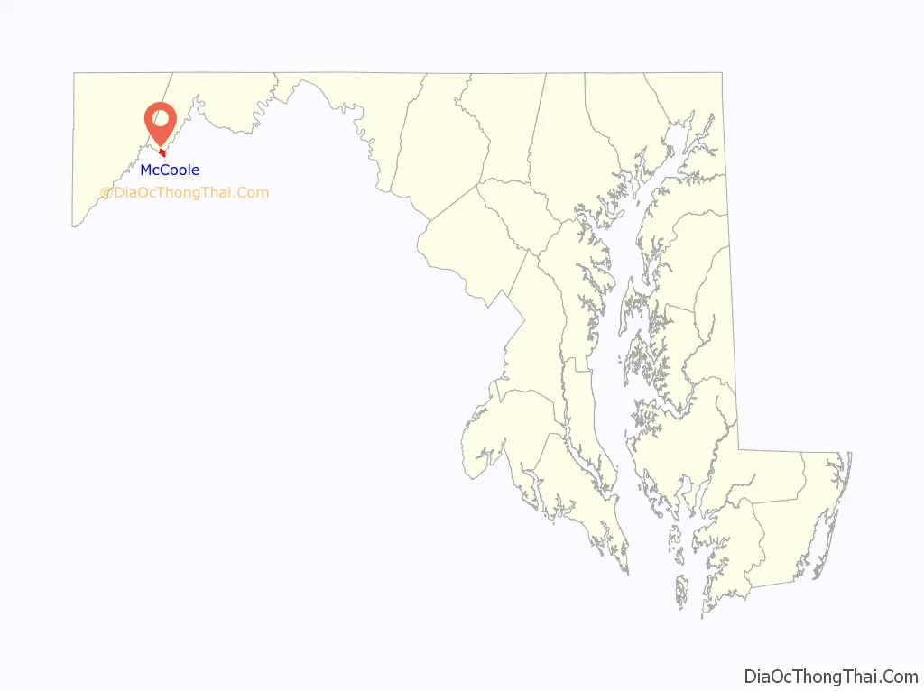
McCoole location map. Where is McCoole CDP?
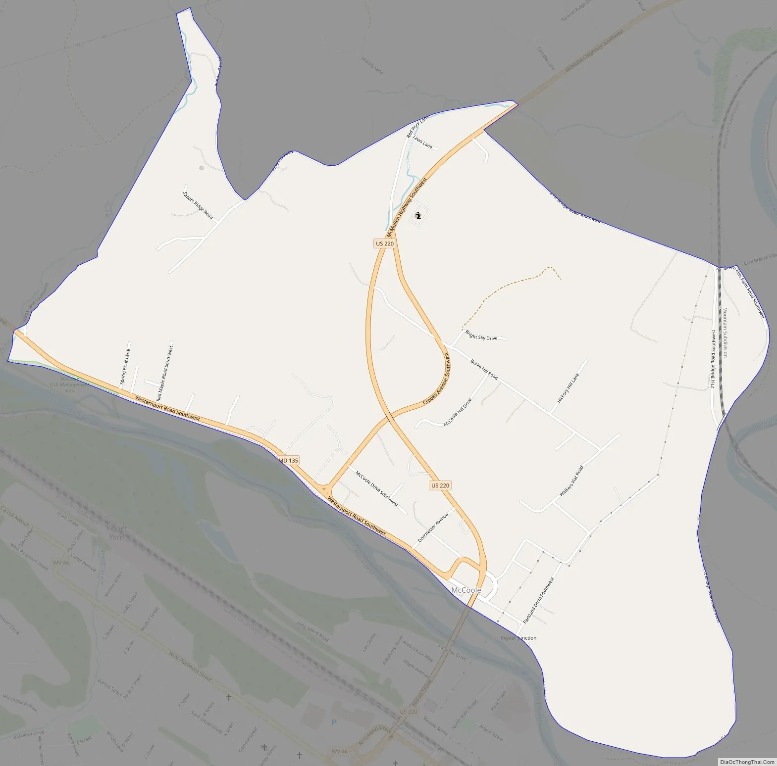
McCoole Road Map
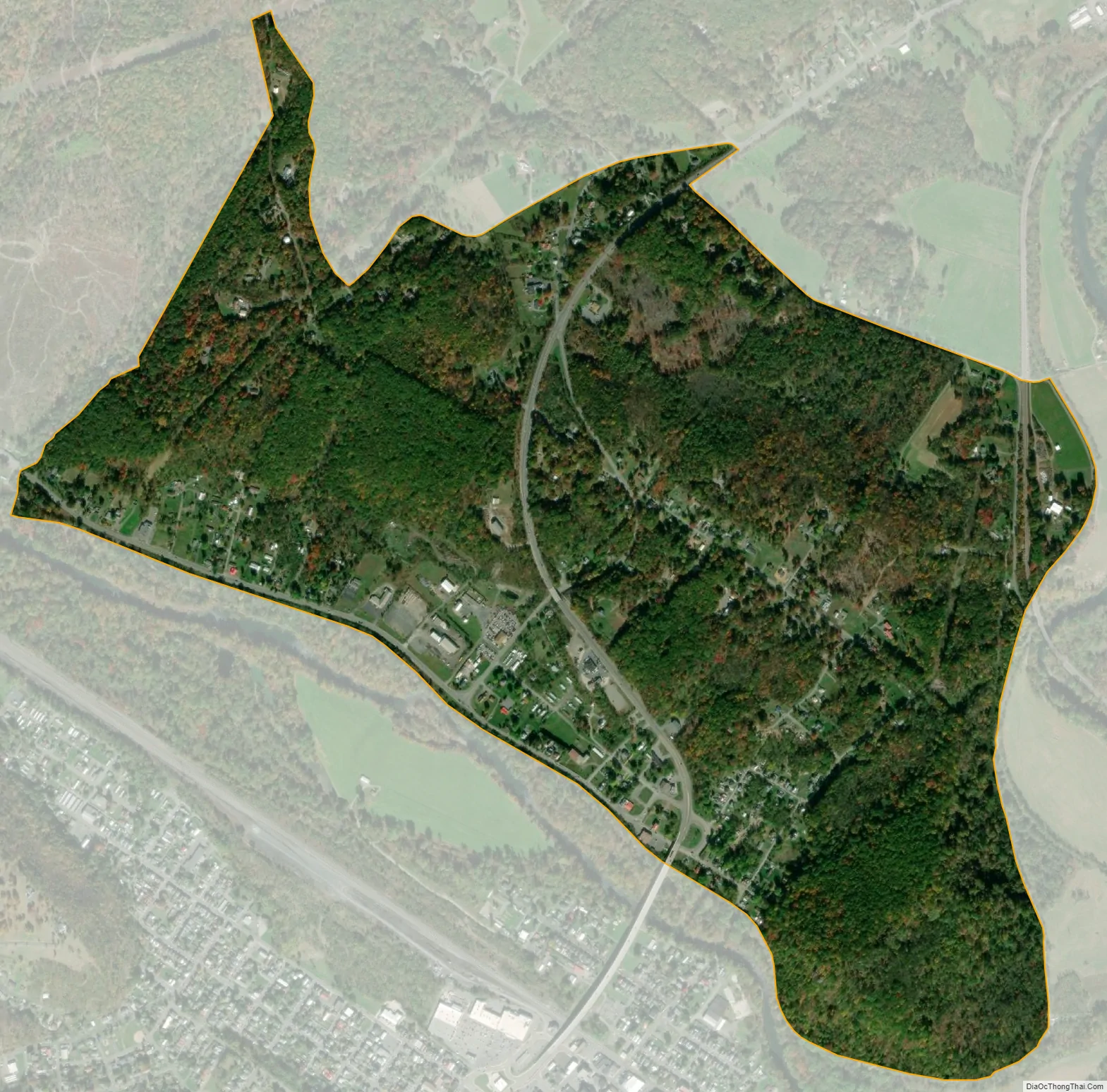
McCoole city Satellite Map
See also
Map of Maryland State and its subdivision: Map of other states:- Alabama
- Alaska
- Arizona
- Arkansas
- California
- Colorado
- Connecticut
- Delaware
- District of Columbia
- Florida
- Georgia
- Hawaii
- Idaho
- Illinois
- Indiana
- Iowa
- Kansas
- Kentucky
- Louisiana
- Maine
- Maryland
- Massachusetts
- Michigan
- Minnesota
- Mississippi
- Missouri
- Montana
- Nebraska
- Nevada
- New Hampshire
- New Jersey
- New Mexico
- New York
- North Carolina
- North Dakota
- Ohio
- Oklahoma
- Oregon
- Pennsylvania
- Rhode Island
- South Carolina
- South Dakota
- Tennessee
- Texas
- Utah
- Vermont
- Virginia
- Washington
- West Virginia
- Wisconsin
- Wyoming


