Milford Mill is an unincorporated community and census-designated place in Baltimore County, Maryland, United States. Per the 2020 census, the population was 30,622.
According to the United States Census Bureau, the CDP has a total area of 7.0 square miles (18 km), all of it land.
The true name of the area is “Milford”, but the name “Milford Mill” has stuck with the community. The name “Milford Mill” comes from the name of an old mill located in nearby Pikesville along Milford Mill Road.
| Name: | Milford Mill CDP |
|---|---|
| LSAD Code: | 57 |
| LSAD Description: | CDP (suffix) |
| State: | Maryland |
| County: | Baltimore County |
| Elevation: | 495 ft (151 m) |
| Total Area: | 6.96 sq mi (18.02 km²) |
| Land Area: | 6.95 sq mi (17.99 km²) |
| Water Area: | 0.01 sq mi (0.03 km²) |
| Total Population: | 30,622 |
| Population Density: | 4,409.22/sq mi (1,702.49/km²) |
| ZIP code: | 21244, 21133, 21208 |
| FIPS code: | 2452562 |
| GNISfeature ID: | 1867296 |
Online Interactive Map
Click on ![]() to view map in "full screen" mode.
to view map in "full screen" mode.
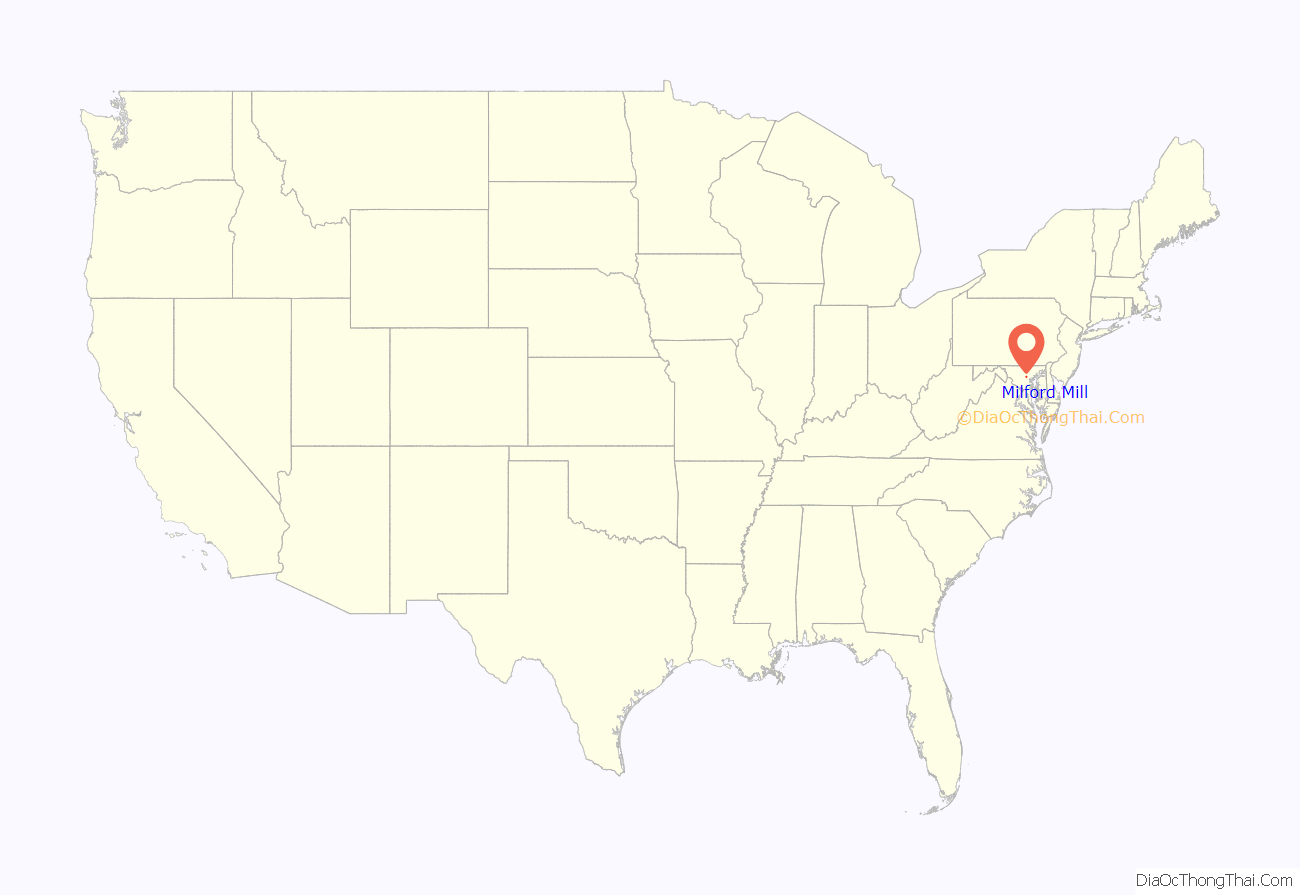
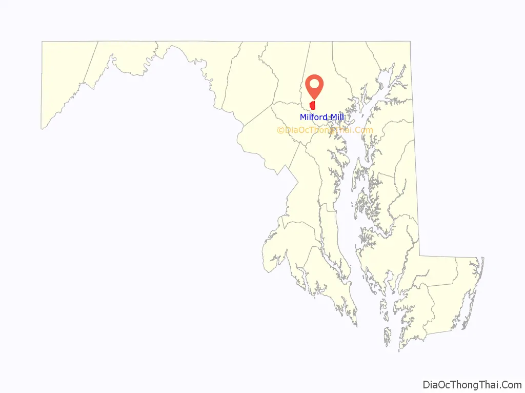
Milford Mill location map. Where is Milford Mill CDP?
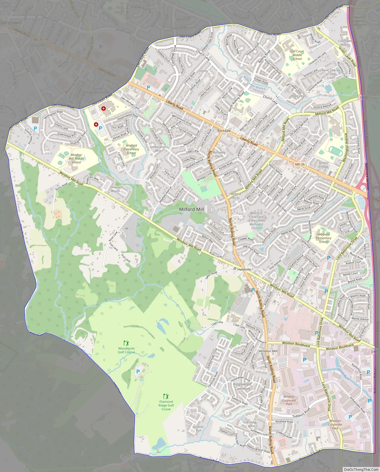
Milford Mill Road Map
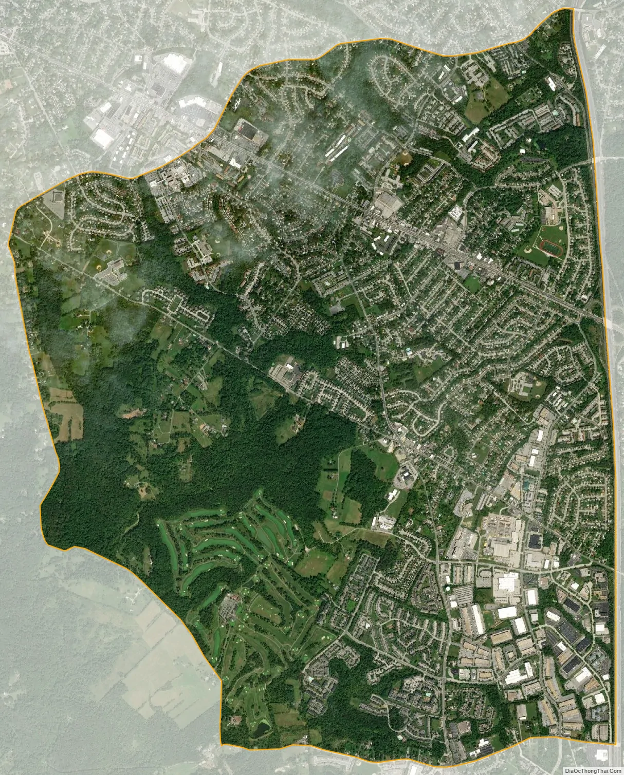
Milford Mill city Satellite Map
Geography
Milford Mill is located at 39°20′50″N 76°45′39″W / 39.34722°N 76.76083°W / 39.34722; -76.76083 (39.347356, −76.760924).
Milford Mill is near the Baltimore County communities of Pikesville, Randallstown, and Woodlawn, around the intersection of Liberty Road and Milford Mill Road. Some areas of Milford Mill are as follows:
Windsor Mill
Windsor Mill is an area near Woodlawn that is similar to Milford Mill. Some of the main roads in the area include Windsor Mill Road, Windsor Boulevard, and Rolling Road. Landmarks in this area include Windsor Mill Middle School and Rutherford Business Park.
Rockdale
Rockdale is mostly near Liberty Road and Lord Baltimore Drive to Rolling Road coming off from I-695. Landmarks in this area include schools like Scotts Branch Elementary and Old Court Middle School. Stores and food areas in the area include the Milford Shopping Center (which is on the left-hand side), Giant Food, and Shoppers Food Warehouse.
See also
Map of Maryland State and its subdivision: Map of other states:- Alabama
- Alaska
- Arizona
- Arkansas
- California
- Colorado
- Connecticut
- Delaware
- District of Columbia
- Florida
- Georgia
- Hawaii
- Idaho
- Illinois
- Indiana
- Iowa
- Kansas
- Kentucky
- Louisiana
- Maine
- Maryland
- Massachusetts
- Michigan
- Minnesota
- Mississippi
- Missouri
- Montana
- Nebraska
- Nevada
- New Hampshire
- New Jersey
- New Mexico
- New York
- North Carolina
- North Dakota
- Ohio
- Oklahoma
- Oregon
- Pennsylvania
- Rhode Island
- South Carolina
- South Dakota
- Tennessee
- Texas
- Utah
- Vermont
- Virginia
- Washington
- West Virginia
- Wisconsin
- Wyoming


