Pikesville is a census-designated place (CDP) in Baltimore County, Maryland, United States. Pikesville is just northwest of the Baltimore city limits. It is the northwestern suburb closest to Baltimore.
The population was 30,764 at the 2010 census. The corridor along Interstate 795, which links Pikesville, Owings Mills and Reisterstown to the Baltimore Beltway (Interstate 695), contains one of the larger Jewish populations in Maryland.
| Name: | Pikesville CDP |
|---|---|
| LSAD Code: | 57 |
| LSAD Description: | CDP (suffix) |
| State: | Maryland |
| County: | Baltimore County |
| Elevation: | 509 ft (155 m) |
| Total Area: | 12.38 sq mi (32.06 km²) |
| Land Area: | 12.35 sq mi (31.99 km²) |
| Water Area: | 0.03 sq mi (0.07 km²) |
| Total Population: | 34,168 |
| Population Density: | 2,766.64/sq mi (1,068.21/km²) |
| ZIP code: | 21208, 21282,21209,21215 |
| Area code: | 410, 443, and 667 |
| FIPS code: | 2461400 |
| GNISfeature ID: | 0586509 |
Online Interactive Map
Click on ![]() to view map in "full screen" mode.
to view map in "full screen" mode.
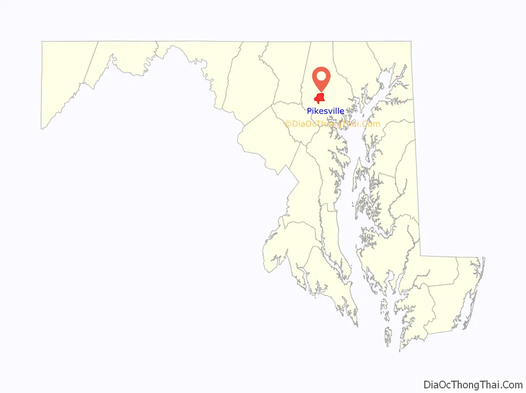
Pikesville location map. Where is Pikesville CDP?

History
Pikesville was named for the American soldier and explorer Zebulon Pike (1779–1813). While there are places named for Pike in many other states, Pikesville, Maryland, is the only contemporary place named “Pikesville” (compare Pikeville, Kentucky).
The (historic) town of Pikesville, incorporated August, 1818, in Barren County, Kentucky, was apparently named for Zebulon Pike, also. In 1858, the community adopted a new postal name, “Flippin, Kentucky,” to avoid confusion with Pikeville, Kentucky. “Pike[s]ville Branch” of Indian Creek is the only remaining physical landmark of historic Pikesville, in Kentucky, along with a colorful story of an almost forgotten past.
Pikesville Road Map

Pikesville city Satellite Map

Geography
Pikesville is located at 39°22′45″N 76°42′18″W / 39.37917°N 76.70500°W / 39.37917; -76.70500 (39.379039, −76.705091).
According to the United States Census Bureau, the CDP has a total area of 32.1 square kilometres (12.4 sq mi), of which 32.0 square kilometres (12.4 sq mi) is land and 0.07 square kilometres (0.027 sq mi), or 0.22%, is water.
See also
Map of Maryland State and its subdivision: Map of other states:- Alabama
- Alaska
- Arizona
- Arkansas
- California
- Colorado
- Connecticut
- Delaware
- District of Columbia
- Florida
- Georgia
- Hawaii
- Idaho
- Illinois
- Indiana
- Iowa
- Kansas
- Kentucky
- Louisiana
- Maine
- Maryland
- Massachusetts
- Michigan
- Minnesota
- Mississippi
- Missouri
- Montana
- Nebraska
- Nevada
- New Hampshire
- New Jersey
- New Mexico
- New York
- North Carolina
- North Dakota
- Ohio
- Oklahoma
- Oregon
- Pennsylvania
- Rhode Island
- South Carolina
- South Dakota
- Tennessee
- Texas
- Utah
- Vermont
- Virginia
- Washington
- West Virginia
- Wisconsin
- Wyoming


