Monrovia is an unincorporated community and census-designated place (CDP) in Frederick County, in the U.S. state of Maryland. As of the 2020 census it had a population of 2,702. The ZIP code for the area is 21770.
| Name: | Monrovia CDP |
|---|---|
| LSAD Code: | 57 |
| LSAD Description: | CDP (suffix) |
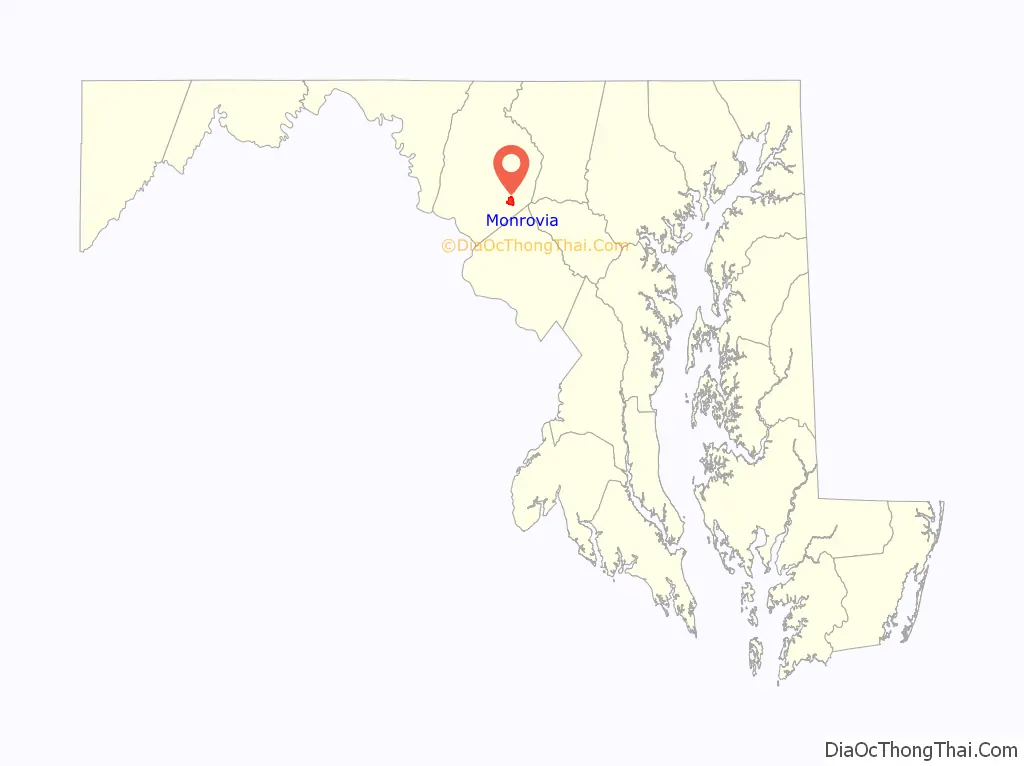
| State: | Maryland |
| County: | Frederick County |
| Elevation: | 520 ft (160 m) |
| Total Area: | 2.25 sq mi (5.82 km²) |
| Land Area: | 2.25 sq mi (5.82 km²) |
| Water Area: | 0.00 sq mi (0.00 km²) |
| Total Population: | 2,702 |
| Population Density: | 1,203.56/sq mi (464.64/km²) |
| ZIP code: | 21770 |
| Area code: | 301 and 240 |
| FIPS code: | 2453100 |
| GNISfeature ID: | 2583659 |
Online Interactive Map
Click on ![]() to view map in "full screen" mode.
to view map in "full screen" mode.
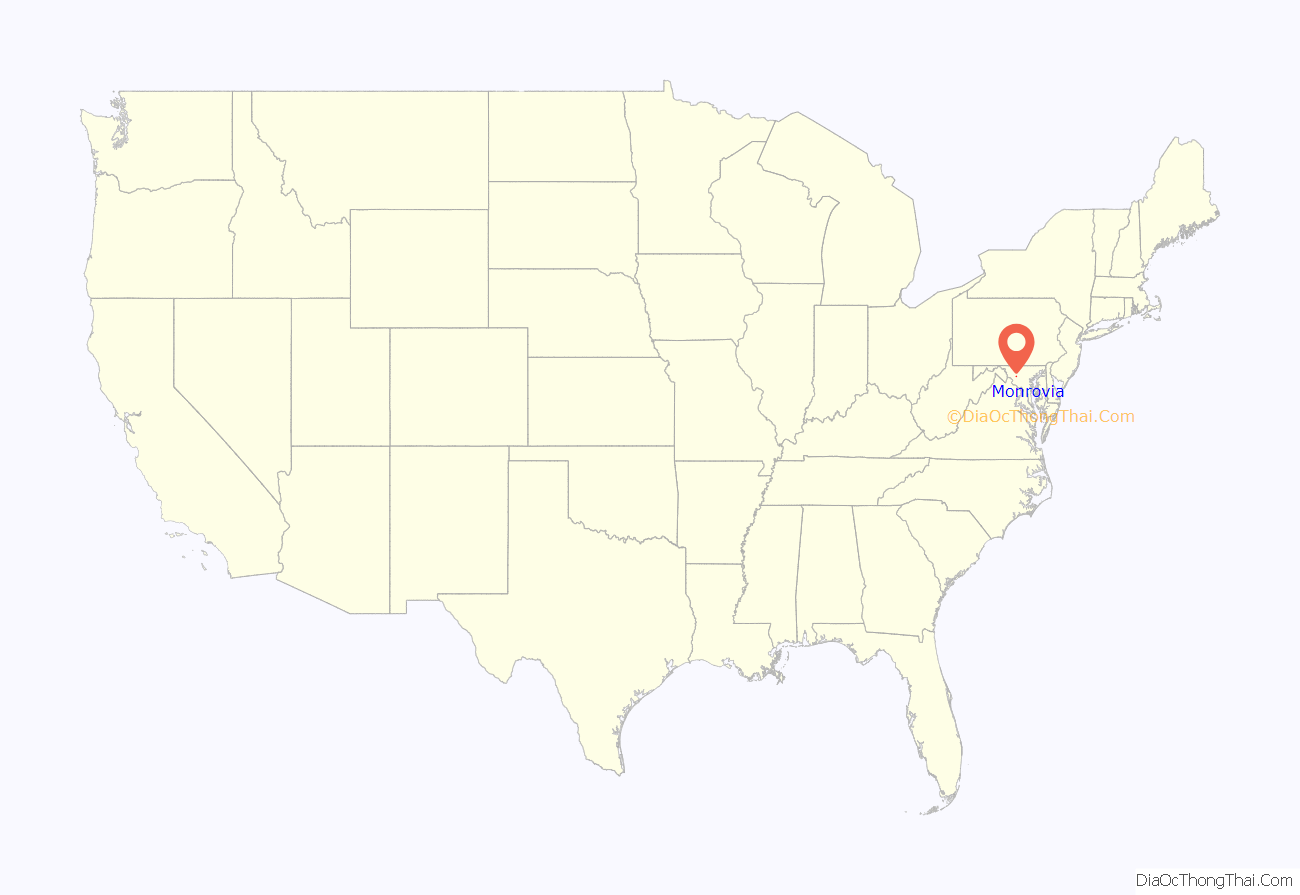
Monrovia location map. Where is Monrovia CDP?
History
In 1831, Monrovia became a station on the Baltimore and Ohio Railroad and provided service to the mills and access for travelers to New Market, MD. A watering station for the trains was built later in 1840. Monrovia was impacted by the Civil War with the Monrovia General Store, used as a dry goods store from the mid-nineteenth century until the early twentieth century, being sacked by Confederate troops after the Battle of Monocacy. During the Civil War, Monrovia also made the front page of the September 16, 1862 issue of The New York Herald:
Monrovia was the largest community in the New Market election district in 1880. The Monrovia Central Trust Bank closed in 1929. Monrovia’s largest employer, a cannery, closed in the 1930s. Another large employer, the Nicodemus Mill, also closed in the 1930s.
The 75-80 dragway opened in 1960. The track closed on October 30, 2005, with no plans to resume races. The closing prompted a significant public response, and renovations to the dragway began in 2007. The track reopened on April 3, 2009. The track closed for the final time on September 28, 2013, and was planned to be replaced by a housing development. However, the TV show MotorWeek, which had been using the Dragway for its car tests since 1982, continued to use the remnants of the drag strip until partway through its 40th season in 2021, and even still credited the Dragway in its end credits. The show has since moved to the Mason-Dixon Dragway in Boonsboro.
A developer owns land in Monrovia and had proposed building Monrovia Town Center, which was planned to consist of 930 single-family homes, 580 townhomes, and retail. The developer later revised the plan, reserving half of the homes for residents who are at least 55 years old, reducing the number of homes from 1,510 to 1,250, and reducing the size of the development from 457 to 392 acres (1.8 to 1.6 km). Residents have testified at meetings of the Frederick County Planning Commission to voice their disagreement with the proposed development, saying that the development would overburden the area’s roads and schools and change the rural character of the area. In 2014, Frederick County’s Board of County Commissioners voted to change the area’s zoning. After a lawsuit against the Monrovia Town Center by Residents Against Landsdale Expansion (RALE) was won in 2017 in Frederick County Circuit Court, the Maryland Court of Special Appeals upheld the lower court decision in 2019, and later Maryland’s Court of Appeals upheld the ruling in 2020.
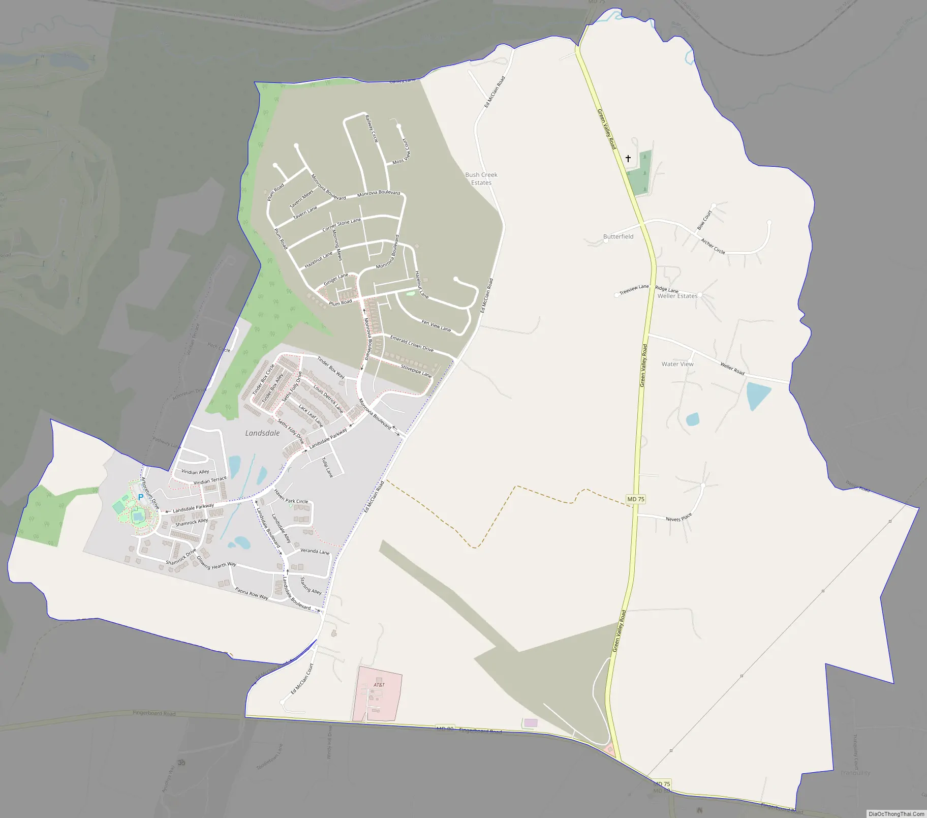
Monrovia Road Map
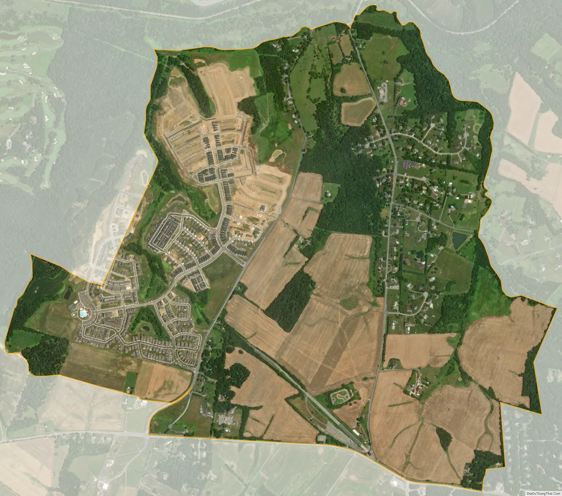
Monrovia city Satellite Map
Geography
The original unincorporated community of Monrovia is located along Maryland Route 75 (Green Valley Road) in southeastern Frederick County, 1 mile (1.6 km) south of New Market, Maryland. The Monrovia CDP extends south of the original Monrovia as far as Maryland Route 80 (Fingerboard Road) and west to include nearly all of Ed McClain Road. According to the U.S. Census Bureau, the Monrovia CDP has a total area of 2.2 square miles (5.8 km), all land.
See also
Map of Maryland State and its subdivision: Map of other states:- Alabama
- Alaska
- Arizona
- Arkansas
- California
- Colorado
- Connecticut
- Delaware
- District of Columbia
- Florida
- Georgia
- Hawaii
- Idaho
- Illinois
- Indiana
- Iowa
- Kansas
- Kentucky
- Louisiana
- Maine
- Maryland
- Massachusetts
- Michigan
- Minnesota
- Mississippi
- Missouri
- Montana
- Nebraska
- Nevada
- New Hampshire
- New Jersey
- New Mexico
- New York
- North Carolina
- North Dakota
- Ohio
- Oklahoma
- Oregon
- Pennsylvania
- Rhode Island
- South Carolina
- South Dakota
- Tennessee
- Texas
- Utah
- Vermont
- Virginia
- Washington
- West Virginia
- Wisconsin
- Wyoming


