Myersville is a town in Frederick County, Maryland, United States. The population was 1,626 at the 2010 United States Census.
| Name: | Myersville town |
|---|---|
| LSAD Code: | 43 |
| LSAD Description: | town (suffix) |
| State: | Maryland |
| County: | Frederick County |
| Incorporated: | 1904 |
| Elevation: | 673 ft (205 m) |
| Total Area: | 1.12 sq mi (2.90 km²) |
| Land Area: | 1.12 sq mi (2.90 km²) |
| Water Area: | 0.00 sq mi (0.00 km²) |
| Total Population: | 1,748 |
| Population Density: | 1,559.32/sq mi (602.24/km²) |
| ZIP code: | 21773 |
| Area code: | 301, 240 |
| FIPS code: | 2454875 |
| GNISfeature ID: | 0586126 |
| Website: | myersville.org |
Online Interactive Map
Click on ![]() to view map in "full screen" mode.
to view map in "full screen" mode.
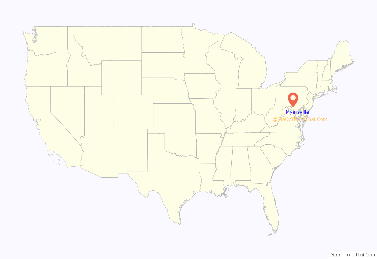
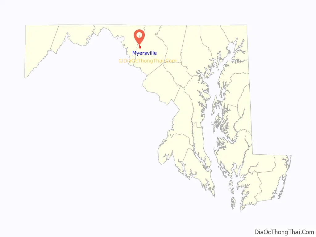
Myersville location map. Where is Myersville town?
History
The town was incorporated in 1904.
On January 4, 1919, a large fire destroyed many shops and buildings in the center of town.
The Peter of P. Grossnickel Farm was listed on the National Register of Historic Places in 1998.
Capture of the D.C. snipers
In October 2002, the Washington, D.C. metropolitan area snipers John Allen Muhammad and Lee Boyd Malvo who terrorized the region were apprehended at a rest stop along westbound I-70 in Myersville. The two were discovered when a truck driver recognized their car from police reports.
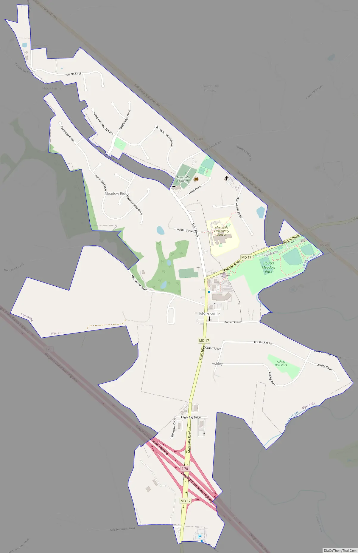
Myersville Road Map
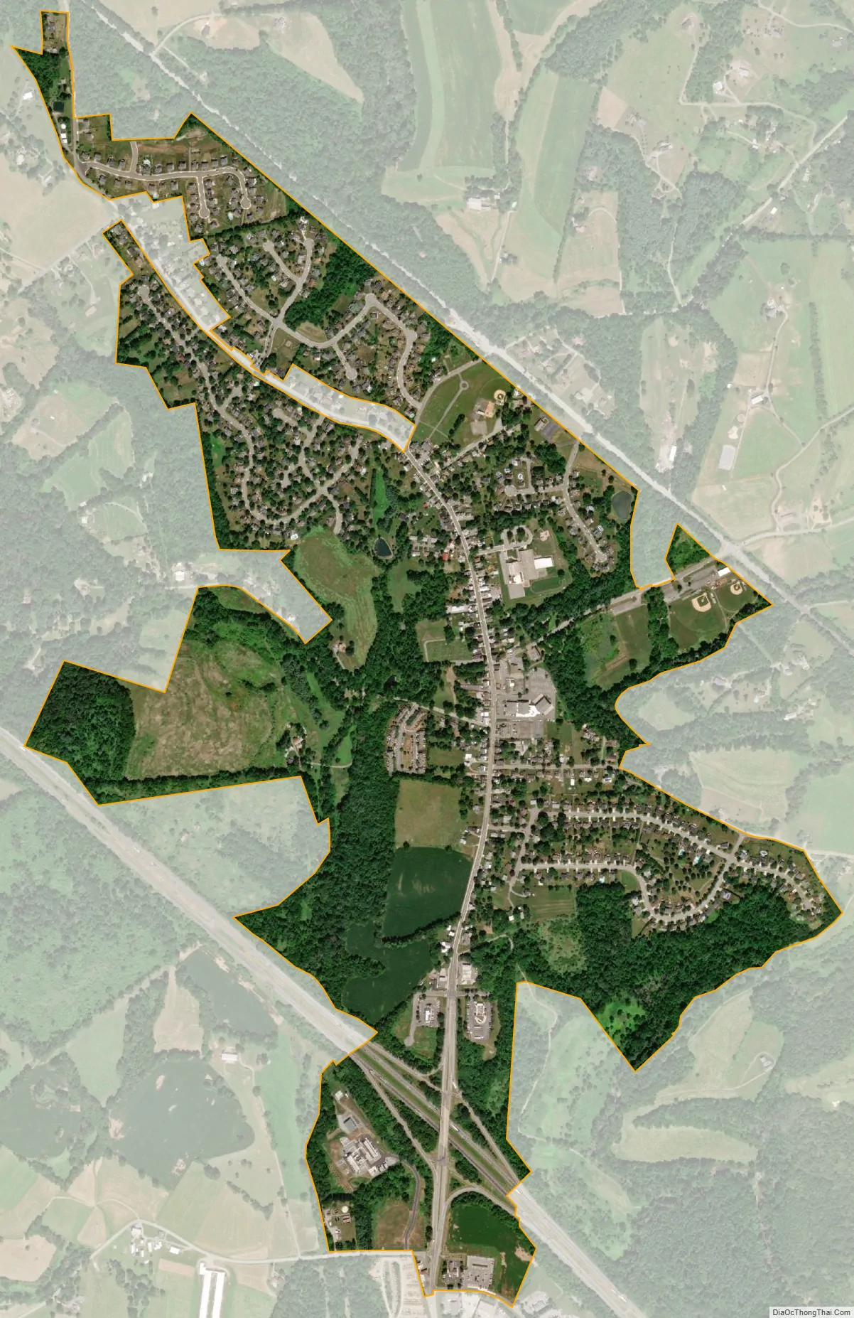
Myersville city Satellite Map
Geography
Myersville is located at 39°30′24″N 77°33′59″W / 39.50667°N 77.56639°W / 39.50667; -77.56639 (39.506627, -77.566271).
According to the United States Census Bureau, the town has a total area of 1.02 square miles (2.64 km), all land. The Myersville area is the source of Catoctin Creek, which roughly flows in a “C” loop pattern (northside to eastside to southside) just outside the city limits.
See also
Map of Maryland State and its subdivision: Map of other states:- Alabama
- Alaska
- Arizona
- Arkansas
- California
- Colorado
- Connecticut
- Delaware
- District of Columbia
- Florida
- Georgia
- Hawaii
- Idaho
- Illinois
- Indiana
- Iowa
- Kansas
- Kentucky
- Louisiana
- Maine
- Maryland
- Massachusetts
- Michigan
- Minnesota
- Mississippi
- Missouri
- Montana
- Nebraska
- Nevada
- New Hampshire
- New Jersey
- New Mexico
- New York
- North Carolina
- North Dakota
- Ohio
- Oklahoma
- Oregon
- Pennsylvania
- Rhode Island
- South Carolina
- South Dakota
- Tennessee
- Texas
- Utah
- Vermont
- Virginia
- Washington
- West Virginia
- Wisconsin
- Wyoming


