Parkville is an unincorporated community and census-designated place in Baltimore County, Maryland, United States. As of the 2010 census, the population was 30,734.
| Name: | Parkville CDP |
|---|---|
| LSAD Code: | 57 |
| LSAD Description: | CDP (suffix) |
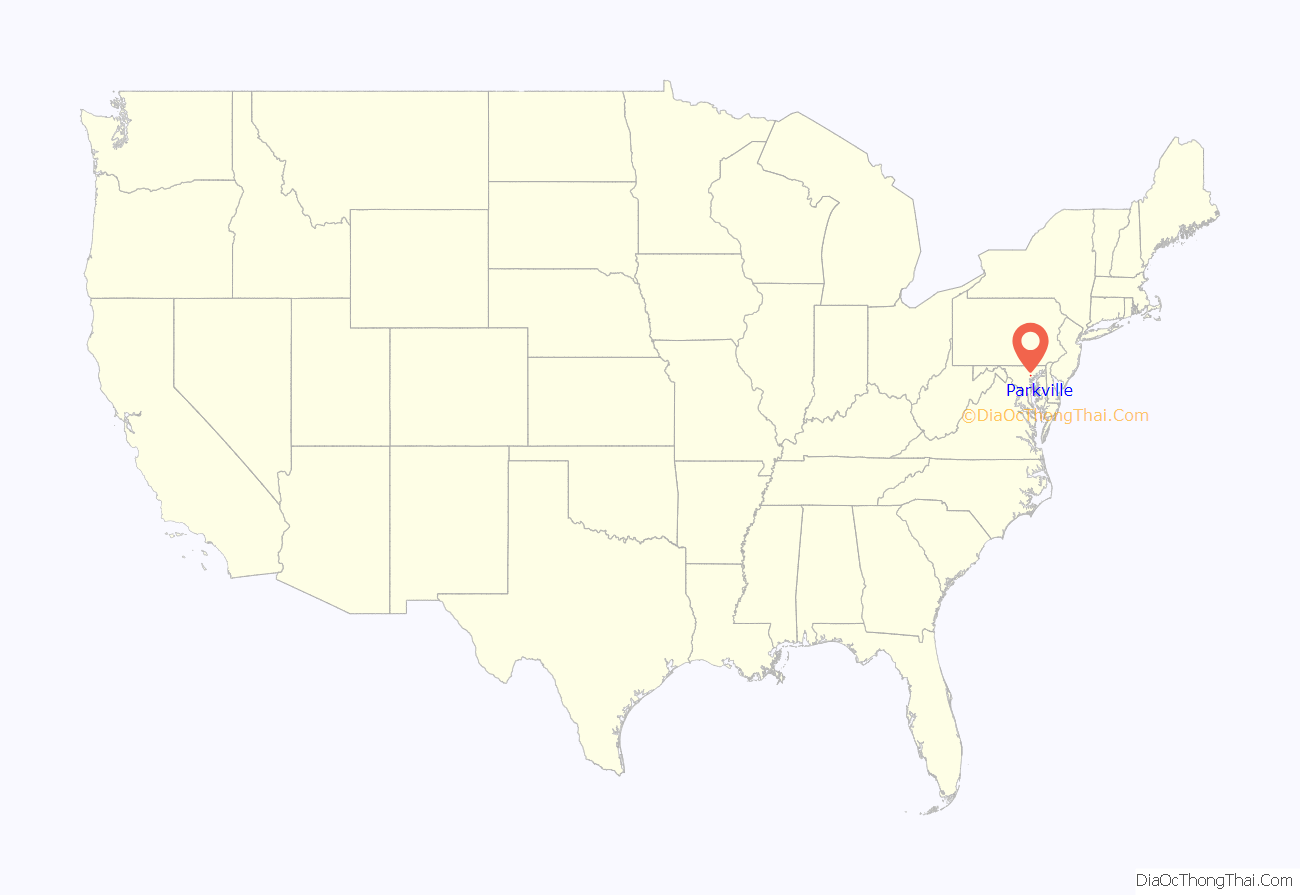
| State: | Maryland |
| County: | Baltimore County |
| Elevation: | 331 ft (101 m) |
| Total Area: | 4.29 sq mi (11.10 km²) |
| Land Area: | 4.29 sq mi (11.10 km²) |
| Water Area: | 0.00 sq mi (0.00 km²) |
| Total Population: | 31,812 |
| Population Density: | 7,424.04/sq mi (2,866.58/km²) |
| ZIP code: | 21234 |
| Area code: | 410 |
| FIPS code: | 2460275 |
| GNISfeature ID: | 0590976 |
Online Interactive Map
Click on ![]() to view map in "full screen" mode.
to view map in "full screen" mode.
Parkville location map. Where is Parkville CDP?
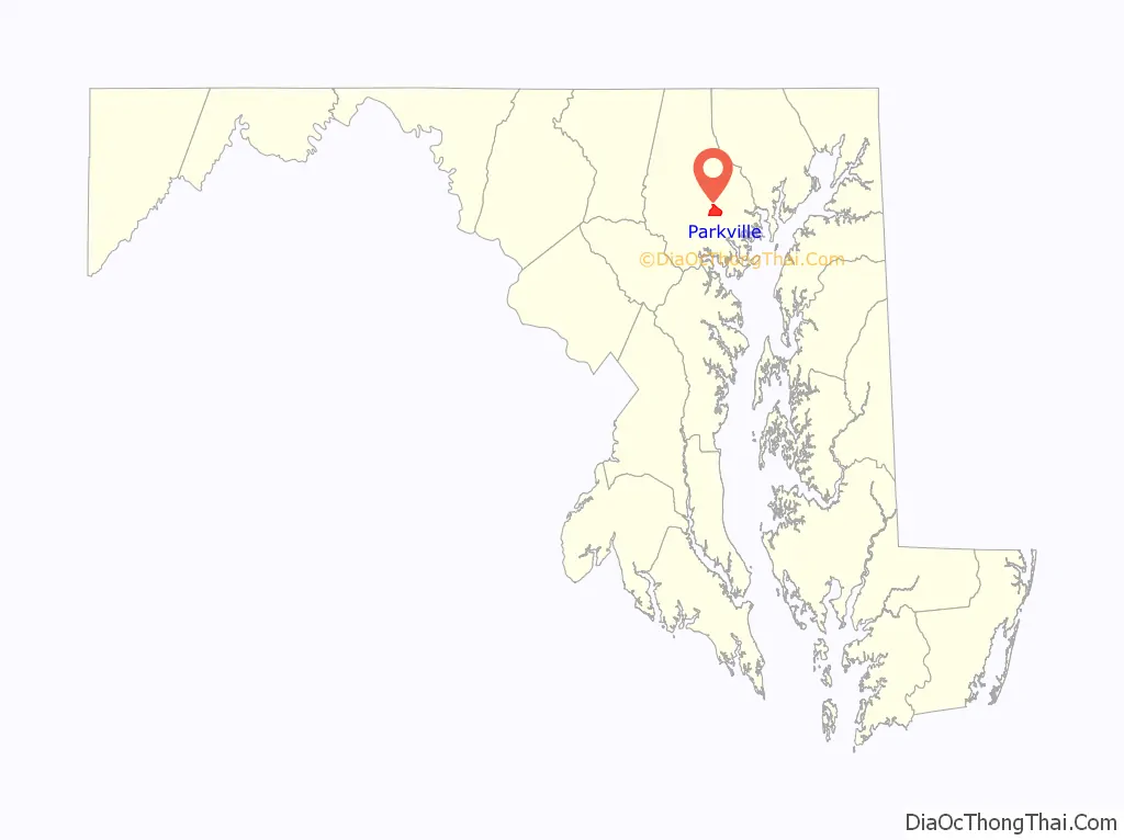
Parkville Road Map

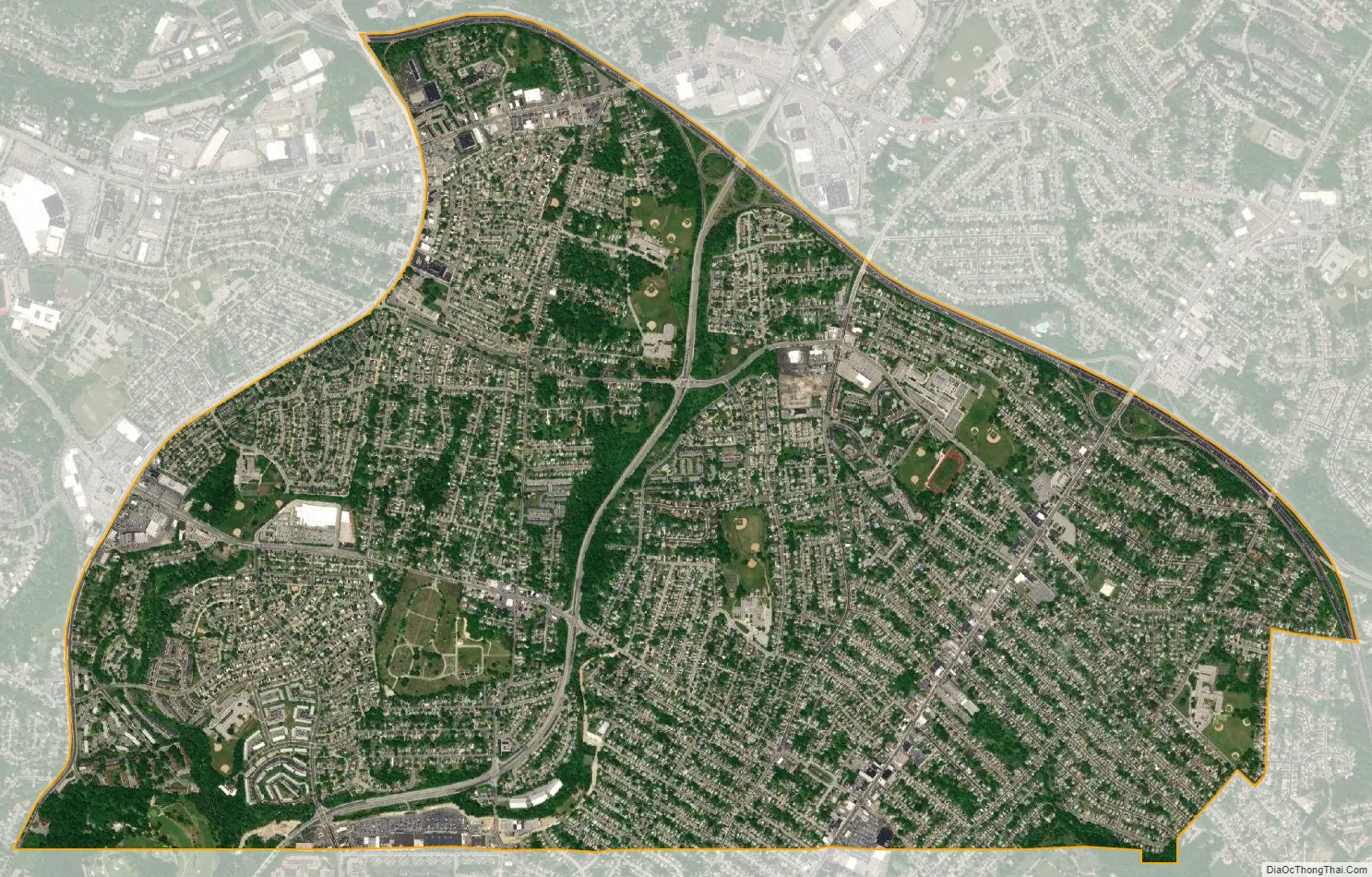
Parkville city Satellite Map
Geography
According to the United States Census Bureau, the CDP has a total area of 4.2 square miles (11 km), all land. The northern border of the CDP is Interstate 695 (the Baltimore Beltway) from Loch Raven Boulevard to Putty Hill Avenue. The eastern border is roughly where Putty Hill Avenue becomes Rossville Boulevard, the southern border is the Baltimore City/Baltimore County line from near Glen Road to Loch Raven Boulevard, and the western boundary is Loch Raven Boulevard from the city line to I-695.
See also
Map of Maryland State and its subdivision: Map of other states:- Alabama
- Alaska
- Arizona
- Arkansas
- California
- Colorado
- Connecticut
- Delaware
- District of Columbia
- Florida
- Georgia
- Hawaii
- Idaho
- Illinois
- Indiana
- Iowa
- Kansas
- Kentucky
- Louisiana
- Maine
- Maryland
- Massachusetts
- Michigan
- Minnesota
- Mississippi
- Missouri
- Montana
- Nebraska
- Nevada
- New Hampshire
- New Jersey
- New Mexico
- New York
- North Carolina
- North Dakota
- Ohio
- Oklahoma
- Oregon
- Pennsylvania
- Rhode Island
- South Carolina
- South Dakota
- Tennessee
- Texas
- Utah
- Vermont
- Virginia
- Washington
- West Virginia
- Wisconsin
- Wyoming


