Potomac Park (listen (help·info)) is an unincorporated subdivision and census-designated place (CDP) located on the North Branch Potomac River in Allegany County, Maryland, United States. As of the 2010 census, it had a population of 2,530. Potomac Park lies along U.S. Route 220 (McMullen Highway) between Cresaptown and Cumberland. The CDP of Bowling Green is immediately to the north on Route 220.
Within the boundaries of the community are the Allegany County Fairgrounds and the Western Correctional Institution.
| Name: | Potomac Park CDP |
|---|---|
| LSAD Code: | 57 |
| LSAD Description: | CDP (suffix) |
| State: | Maryland |
| County: | Allegany County |
| Elevation: | 720 ft (220 m) |
| Total Area: | 0.39 sq mi (1.00 km²) |
| Land Area: | 0.39 sq mi (1.00 km²) |
| Water Area: | 0.00 sq mi (0.00 km²) |
| Total Population: | 821 |
| Population Density: | 2,126.94/sq mi (821.91/km²) |
| ZIP code: | 21502 |
| Area code: | 240 and 301 |
| FIPS code: | 2463425 |
| GNISfeature ID: | 2583675 |
Online Interactive Map
Click on ![]() to view map in "full screen" mode.
to view map in "full screen" mode.
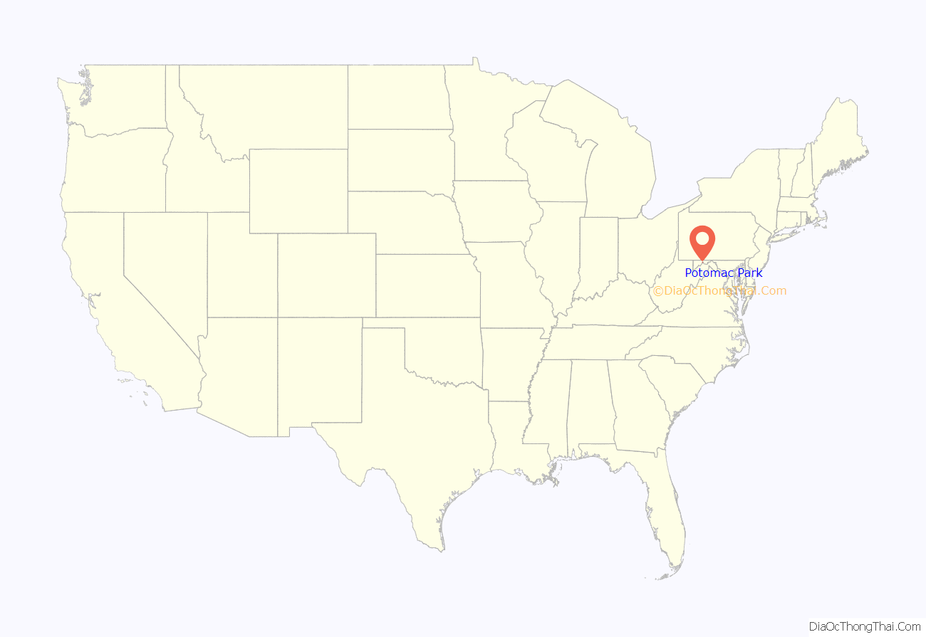
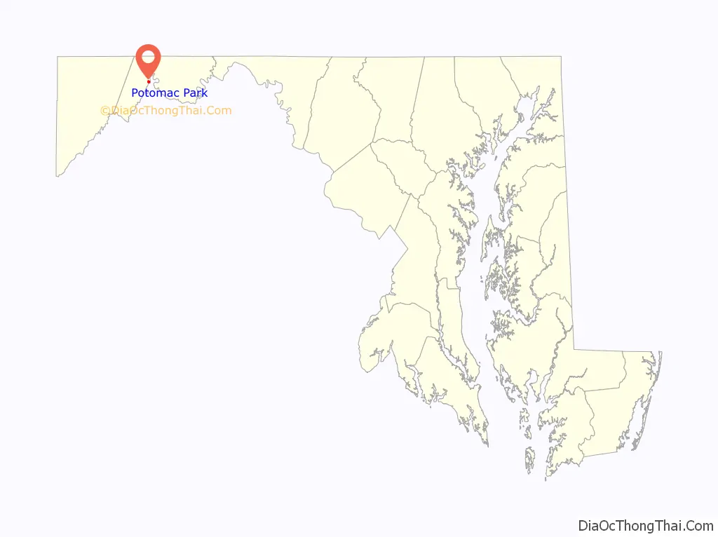
Potomac Park location map. Where is Potomac Park CDP?
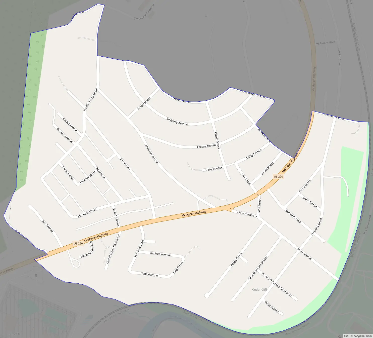
Potomac Park Road Map
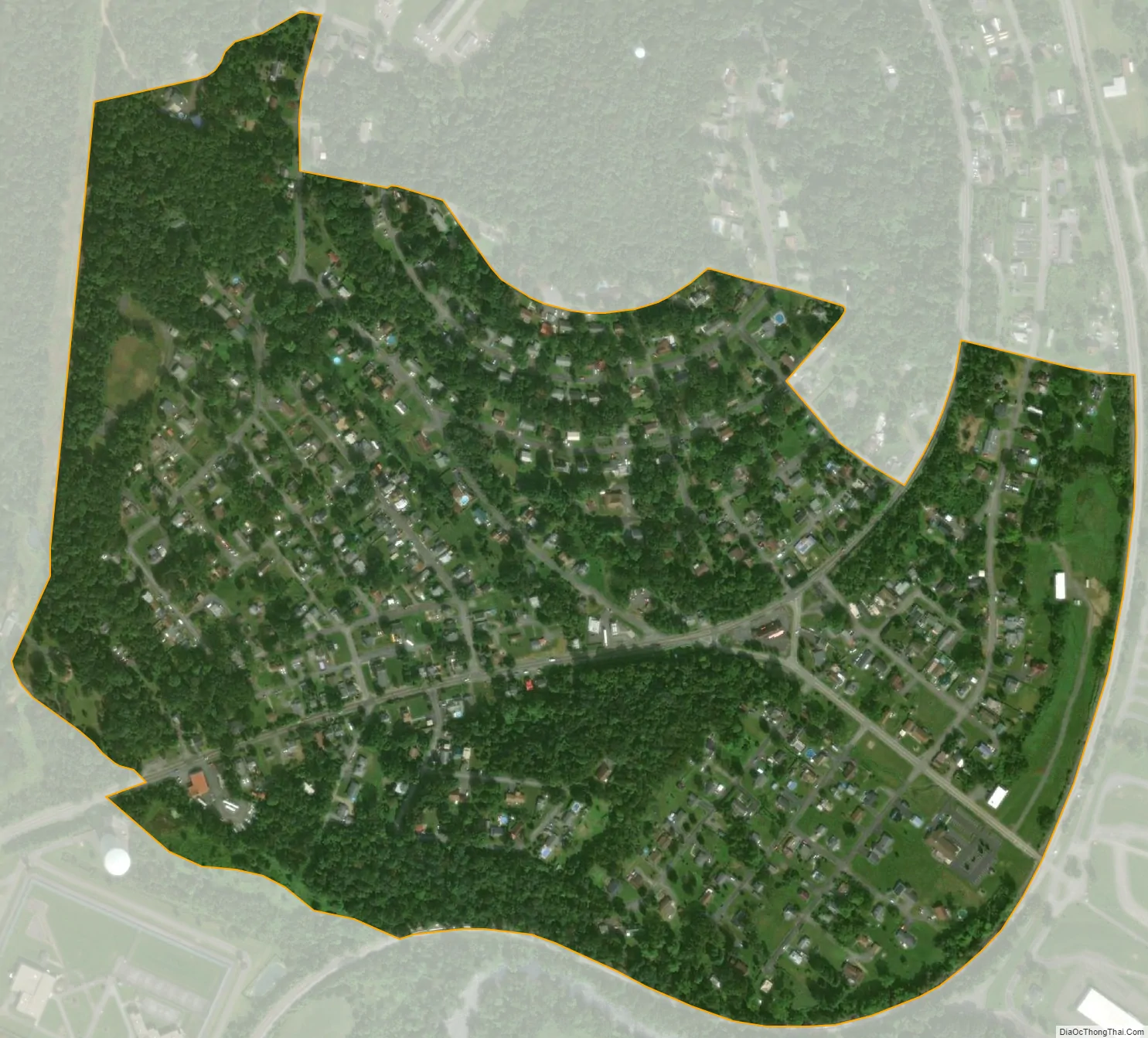
Potomac Park city Satellite Map
See also
Map of Maryland State and its subdivision: Map of other states:- Alabama
- Alaska
- Arizona
- Arkansas
- California
- Colorado
- Connecticut
- Delaware
- District of Columbia
- Florida
- Georgia
- Hawaii
- Idaho
- Illinois
- Indiana
- Iowa
- Kansas
- Kentucky
- Louisiana
- Maine
- Maryland
- Massachusetts
- Michigan
- Minnesota
- Mississippi
- Missouri
- Montana
- Nebraska
- Nevada
- New Hampshire
- New Jersey
- New Mexico
- New York
- North Carolina
- North Dakota
- Ohio
- Oklahoma
- Oregon
- Pennsylvania
- Rhode Island
- South Carolina
- South Dakota
- Tennessee
- Texas
- Utah
- Vermont
- Virginia
- Washington
- West Virginia
- Wisconsin
- Wyoming


