Ridgely is a town in Caroline County, Maryland, United States. The population was 1,639 at the 2010 census.
| Name: | Ridgely town |
|---|---|
| LSAD Code: | 43 |
| LSAD Description: | town (suffix) |
| State: | Maryland |
| County: | Caroline County |
| Incorporated: | 1896 |
| Elevation: | 59 ft (18 m) |
| Total Area: | 1.86 sq mi (4.83 km²) |
| Land Area: | 1.86 sq mi (4.83 km²) |
| Water Area: | 0.00 sq mi (0.00 km²) |
| Total Population: | 1,611 |
| Population Density: | 864.27/sq mi (333.65/km²) |
| ZIP code: | 21660 |
| Area code: | 410 |
| FIPS code: | 2466000 |
| GNISfeature ID: | 0586831 |
Online Interactive Map
Click on ![]() to view map in "full screen" mode.
to view map in "full screen" mode.
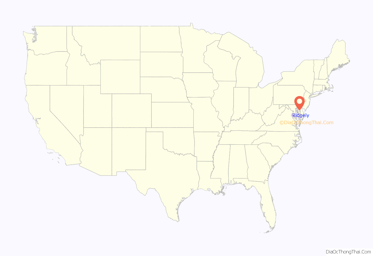
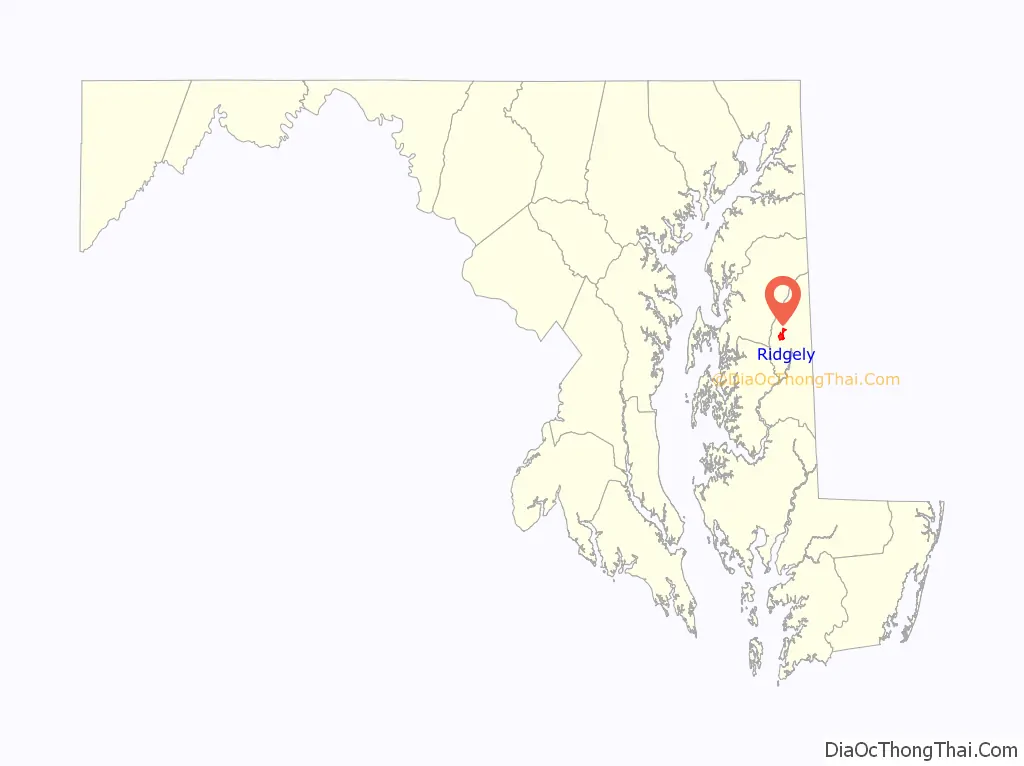
Ridgely location map. Where is Ridgely town?
History
The town was established on May 13, 1867 by the Maryland and Baltimore Land Association. The land around present day Ridgely was purchased by the Maryland and Baltimore Land Association from Thomas Bell and the Reverend Greenbury W. Ridgely. The town was named after the Rev. Greenbury W. Ridgely.
A railroad boom in the 1860s on the Delmarva Peninsula was fueling land speculation. Civil engineer J.J. Sickler from Philadelphia was commissioned to design the town’s layout. The Land Association began construction and built four buildings, including a railroad station, hotel, and two private residences during the first year. James K. Saulsbury constructed a combined store and residence, now known as the Ridgely House.
During the Land’s Association’s first year, it went bankrupt; Ridgely was left unfinished and sparsely populated. Most properties were sold at public auction, and Ridgely began to grow gradually as a result of its location on the railroad line now called the Maryland and Delaware.
Ridgely’s economy flourished as a result of its local crop production, including strawberries, huckleberries, vegetables, eggs, and poultry. Most crops were processed in Ridgely or sent to various locations on the railroad. As the nation began to rely on highways instead of railroads for transportation and industry began to concentrate in larger urban areas, Ridgely’s economy declined.
Ridgely became known as the “Strawberry Capital of the World” as a result of its prosperous agricultural business. Every May, Ridgely hosts the Strawberry Festival to celebrate its past. A Ridgely Historical Society was created in 2005 for the same purpose.
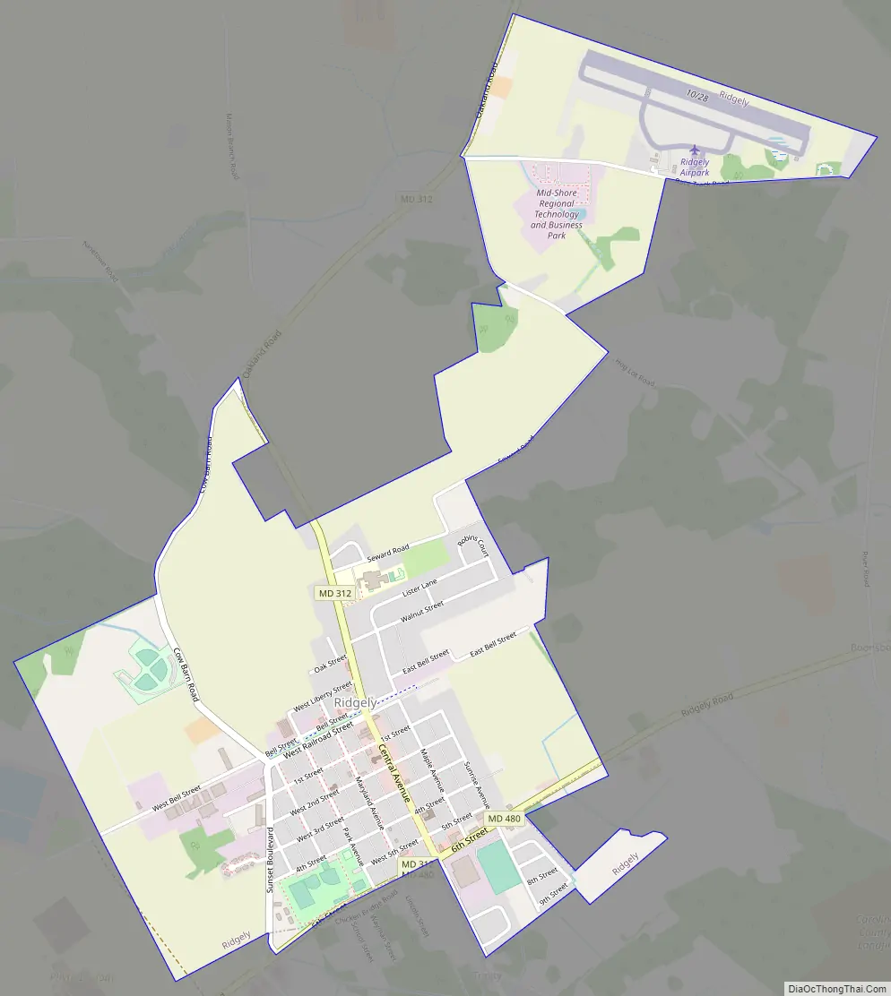
Ridgely Road Map
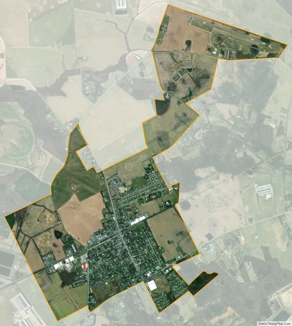
Ridgely city Satellite Map
Geography
Ridgely is located at 38°56′42″N 75°53′1″W / 38.94500°N 75.88361°W / 38.94500; -75.88361 (38.944896, -75.883489).
According to the United States Census Bureau, the town has a total area of 1.78 square miles (4.61 km), all land.
See also
Map of Maryland State and its subdivision: Map of other states:- Alabama
- Alaska
- Arizona
- Arkansas
- California
- Colorado
- Connecticut
- Delaware
- District of Columbia
- Florida
- Georgia
- Hawaii
- Idaho
- Illinois
- Indiana
- Iowa
- Kansas
- Kentucky
- Louisiana
- Maine
- Maryland
- Massachusetts
- Michigan
- Minnesota
- Mississippi
- Missouri
- Montana
- Nebraska
- Nevada
- New Hampshire
- New Jersey
- New Mexico
- New York
- North Carolina
- North Dakota
- Ohio
- Oklahoma
- Oregon
- Pennsylvania
- Rhode Island
- South Carolina
- South Dakota
- Tennessee
- Texas
- Utah
- Vermont
- Virginia
- Washington
- West Virginia
- Wisconsin
- Wyoming