Spring Ridge is census-designated place (CDP) and suburban housing community in Frederick County, in the U.S. state of Maryland, just outside the city of Frederick. As of the 2020 census it had a population of 6,005. Before 2010, it was part of the Linganore-Bartonsville, Maryland census-designated place, which was split into three for the 2010 census.
| Name: | Spring Ridge CDP |
|---|---|
| LSAD Code: | 57 |
| LSAD Description: | CDP (suffix) |
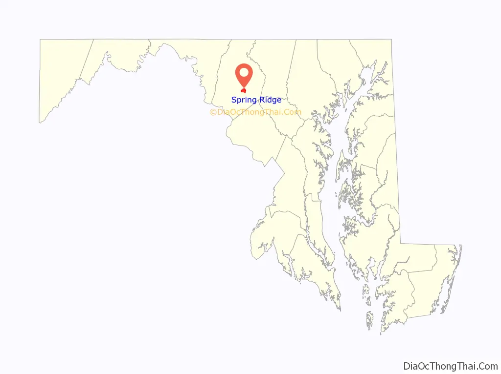
| State: | Maryland |
| County: | Frederick County |
| Elevation: | 370 ft (110 m) |
| Total Area: | 2.72 sq mi (7.04 km²) |
| Land Area: | 2.69 sq mi (6.97 km²) |
| Water Area: | 0.03 sq mi (0.07 km²) |
| Total Population: | 6,005 |
| Population Density: | 2,230.68/sq mi (861.31/km²) |
| Area code: | 301 and 240 |
| FIPS code: | 2474560 |
| GNISfeature ID: | 1711956 |
Online Interactive Map
Click on ![]() to view map in "full screen" mode.
to view map in "full screen" mode.
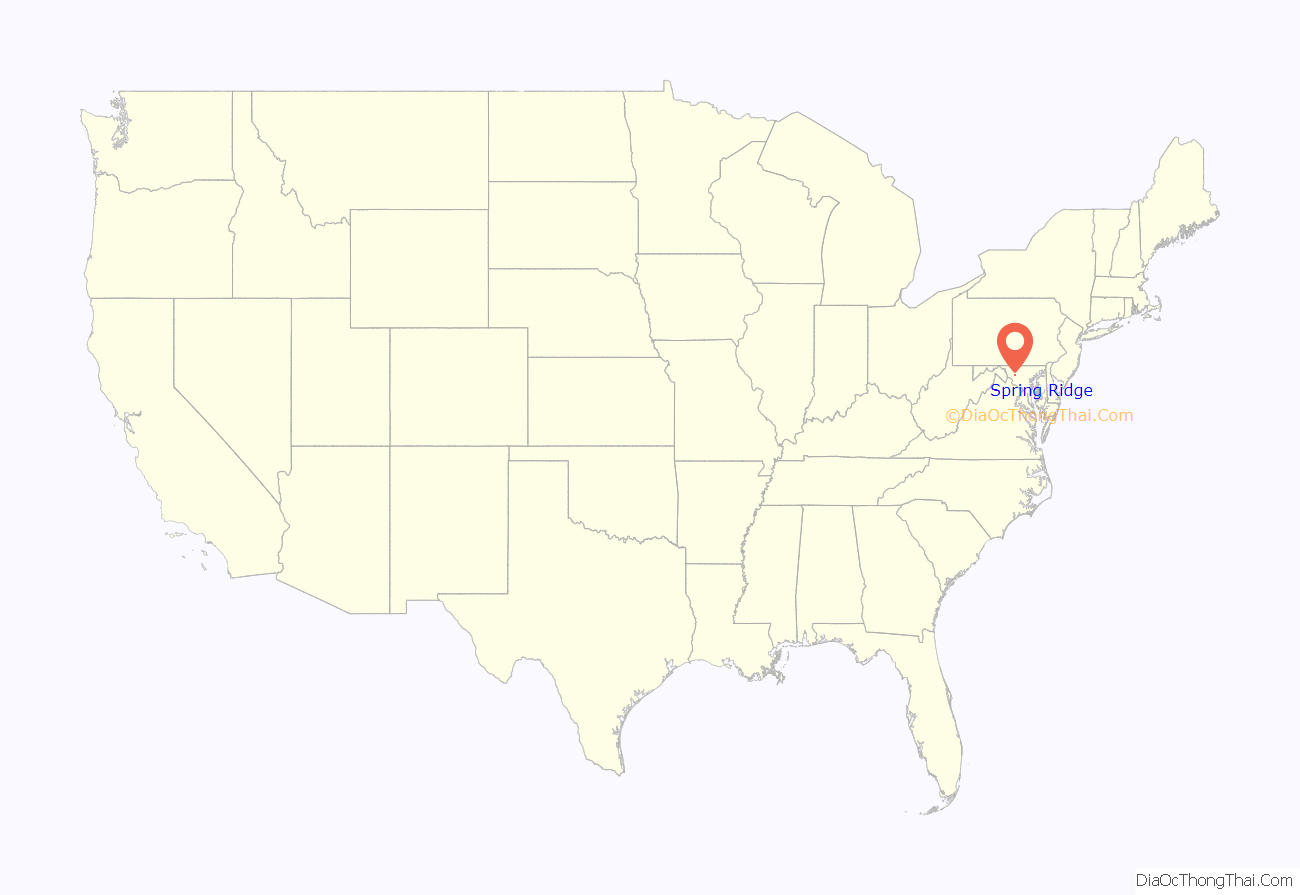
Spring Ridge location map. Where is Spring Ridge CDP?
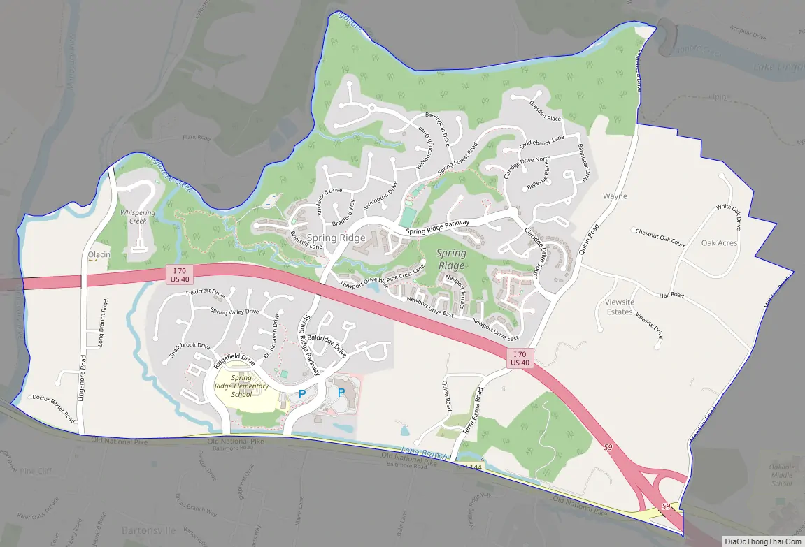
Spring Ridge Road Map
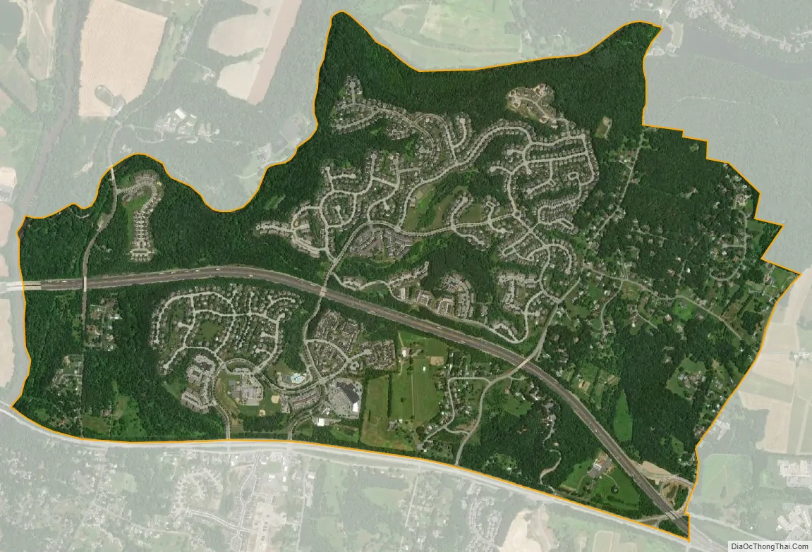
Spring Ridge city Satellite Map
Geography
Spring Ridge is in east-central Frederick County, bordered to the west, across the Monocacy River, by the city of Frederick; to the north by Linganore Creek; to the east, at Meadow Road, by the Linganore CDP; and to the south, across Maryland Route 144, by the Bartonsville CDP. Interstate 70 runs through the middle of the Spring Ridge CDP, leading west 4 miles (6 km) to Frederick and east 34 miles (55 km) to the Baltimore Beltway. Primary access to the community is via the Spring Ridge Parkway from MD 144.
According to the U.S. Census Bureau, the Spring Ridge CDP has a total area of 2.67 square miles (6.91 km), of which 2.64 square miles (6.83 km) is land and 0.031 square miles (0.08 km), or 1.14%, is water.
See also
Map of Maryland State and its subdivision: Map of other states:- Alabama
- Alaska
- Arizona
- Arkansas
- California
- Colorado
- Connecticut
- Delaware
- District of Columbia
- Florida
- Georgia
- Hawaii
- Idaho
- Illinois
- Indiana
- Iowa
- Kansas
- Kentucky
- Louisiana
- Maine
- Maryland
- Massachusetts
- Michigan
- Minnesota
- Mississippi
- Missouri
- Montana
- Nebraska
- Nevada
- New Hampshire
- New Jersey
- New Mexico
- New York
- North Carolina
- North Dakota
- Ohio
- Oklahoma
- Oregon
- Pennsylvania
- Rhode Island
- South Carolina
- South Dakota
- Tennessee
- Texas
- Utah
- Vermont
- Virginia
- Washington
- West Virginia
- Wisconsin
- Wyoming


