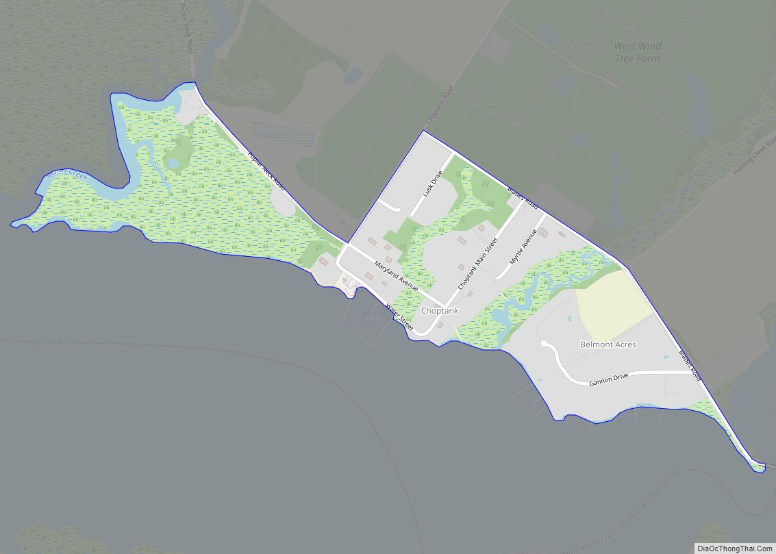
Williston is an unincorporated town and census-designated place on the Eastern Shore of the U.S. state of Maryland, in Caroline County. As of the 2010 census it had a population of 155. It is situated between Maryland Route 16 on its eastern edge and the Choptank River on its west. It was originally known as Potter’s Landing for its first resident, Zabdiel Potter. His home, Potter Hall, was listed on the National Register of Historic Places in 1982.
The Caroline-Dorchester County Fair is held annually just east of the village proper.
Several other historical features are located near Williston, including Memory Lane (Denton, Maryland), the Williston Mill Historic District, and the Williston Community Church
| Name: | Williston CDP |
|---|---|
| LSAD Code: | 57 |
| LSAD Description: | CDP (suffix) |
| State: | Maryland |
| County: | Caroline County |
| Elevation: | 25 ft (8 m) |
| Total Area: | 0.28 sq mi (0.72 km²) |
| Land Area: | 0.26 sq mi (0.68 km²) |
| Water Area: | 0.01 sq mi (0.04 km²) |
| Total Population: | 153 |
| Population Density: | 581.75/sq mi (224.98/km²) |
| Area code: | 410 |
| FIPS code: | 2485175 |
| GNISfeature ID: | 0591562 |
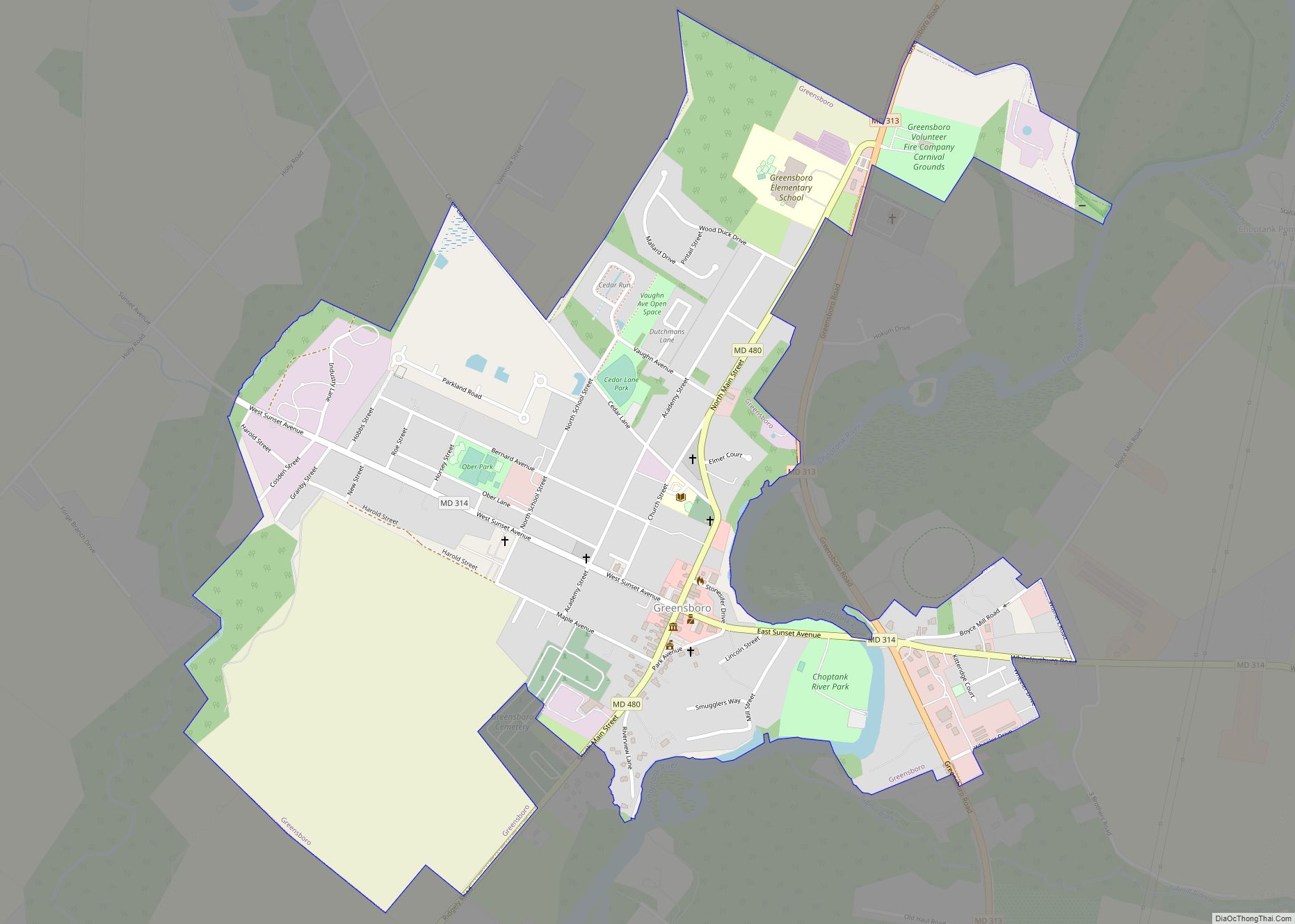
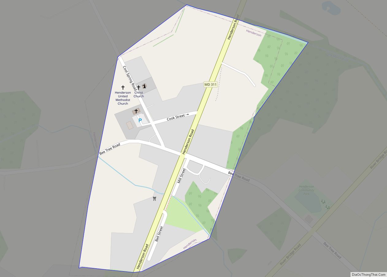
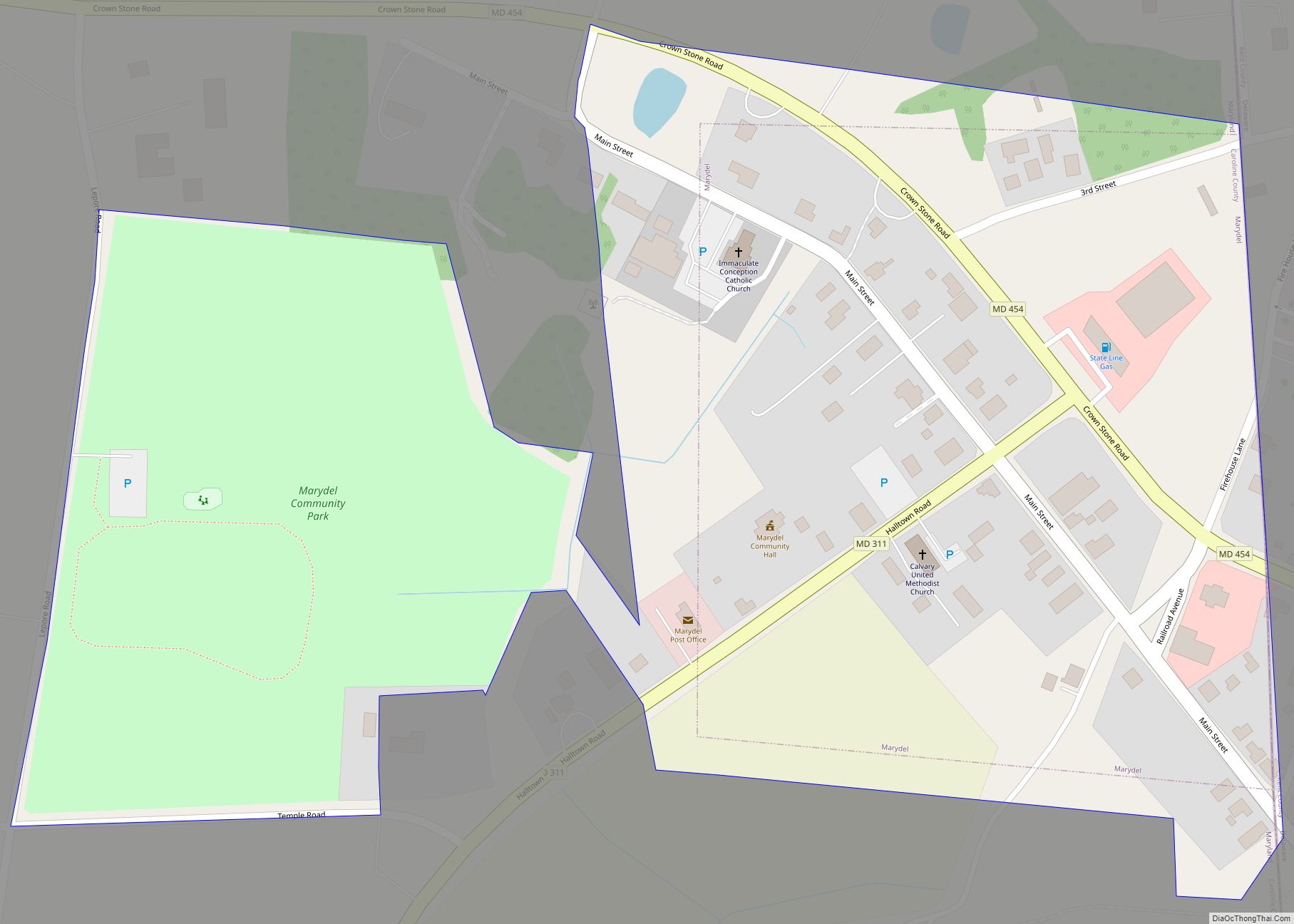
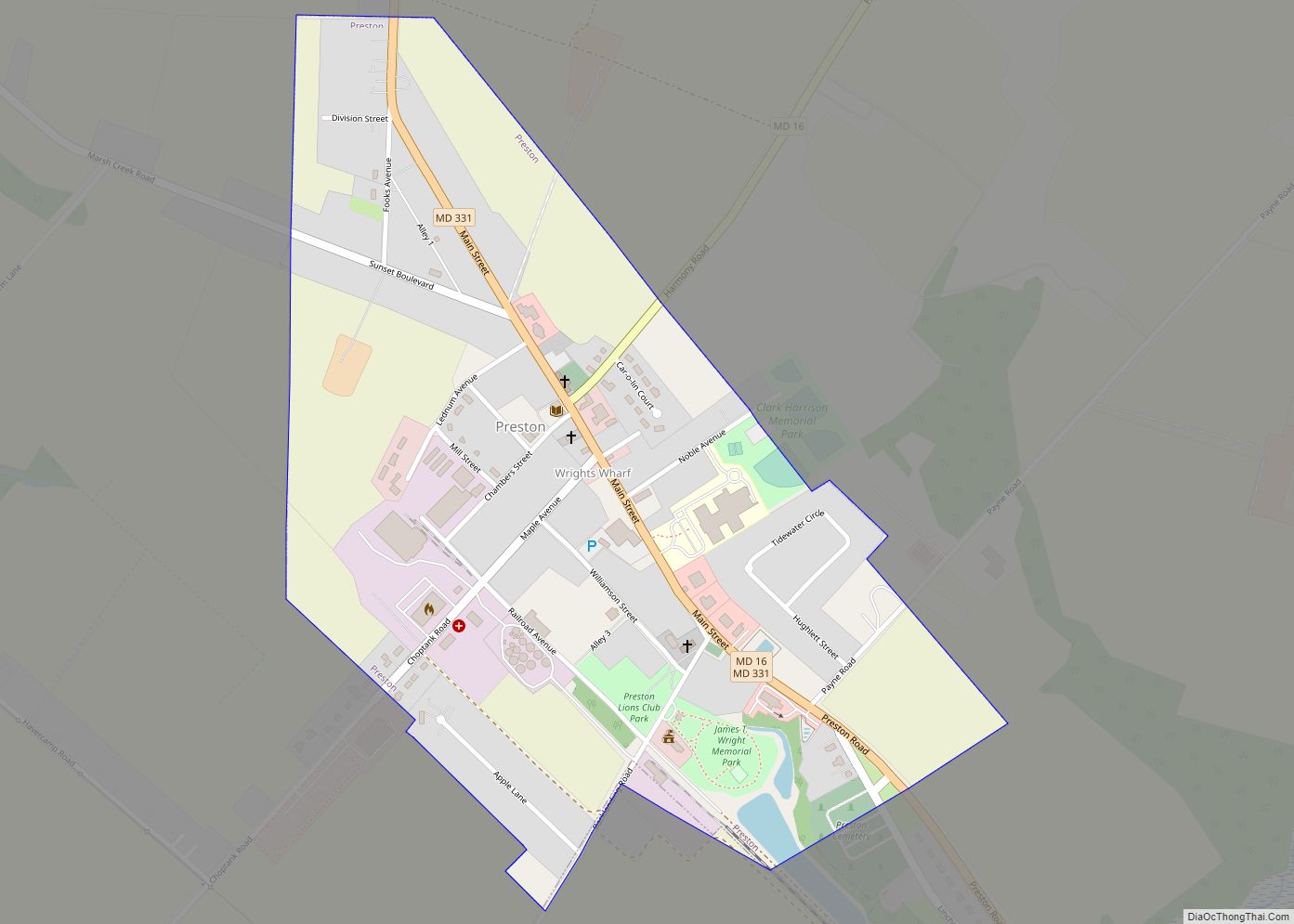
Online Interactive Map
Click on ![]() to view map in "full screen" mode.
to view map in "full screen" mode.
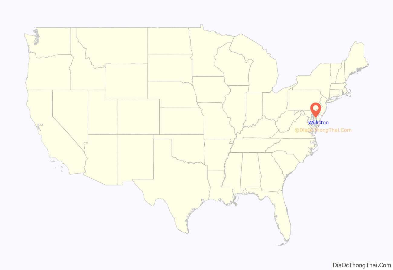
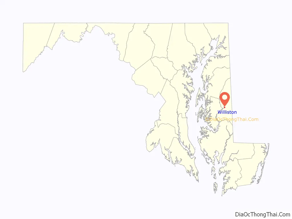
Williston location map. Where is Williston CDP?
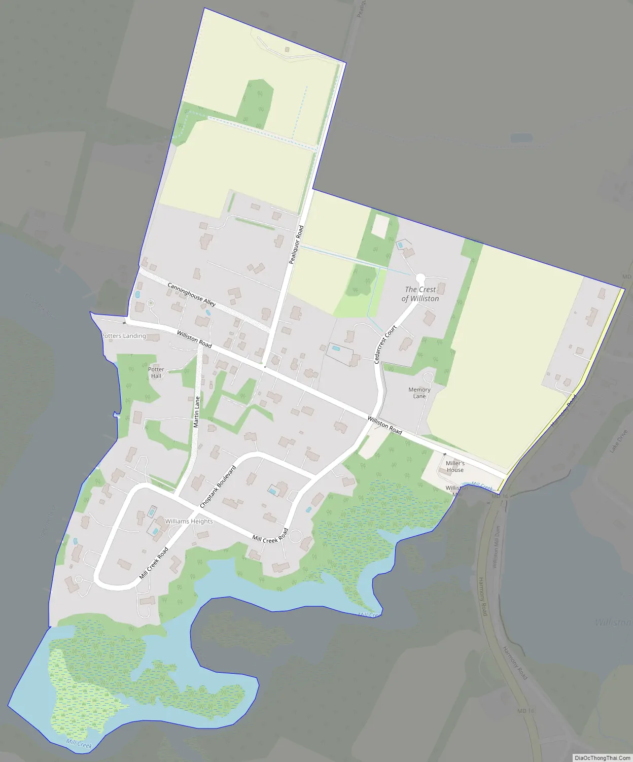
Williston Road Map
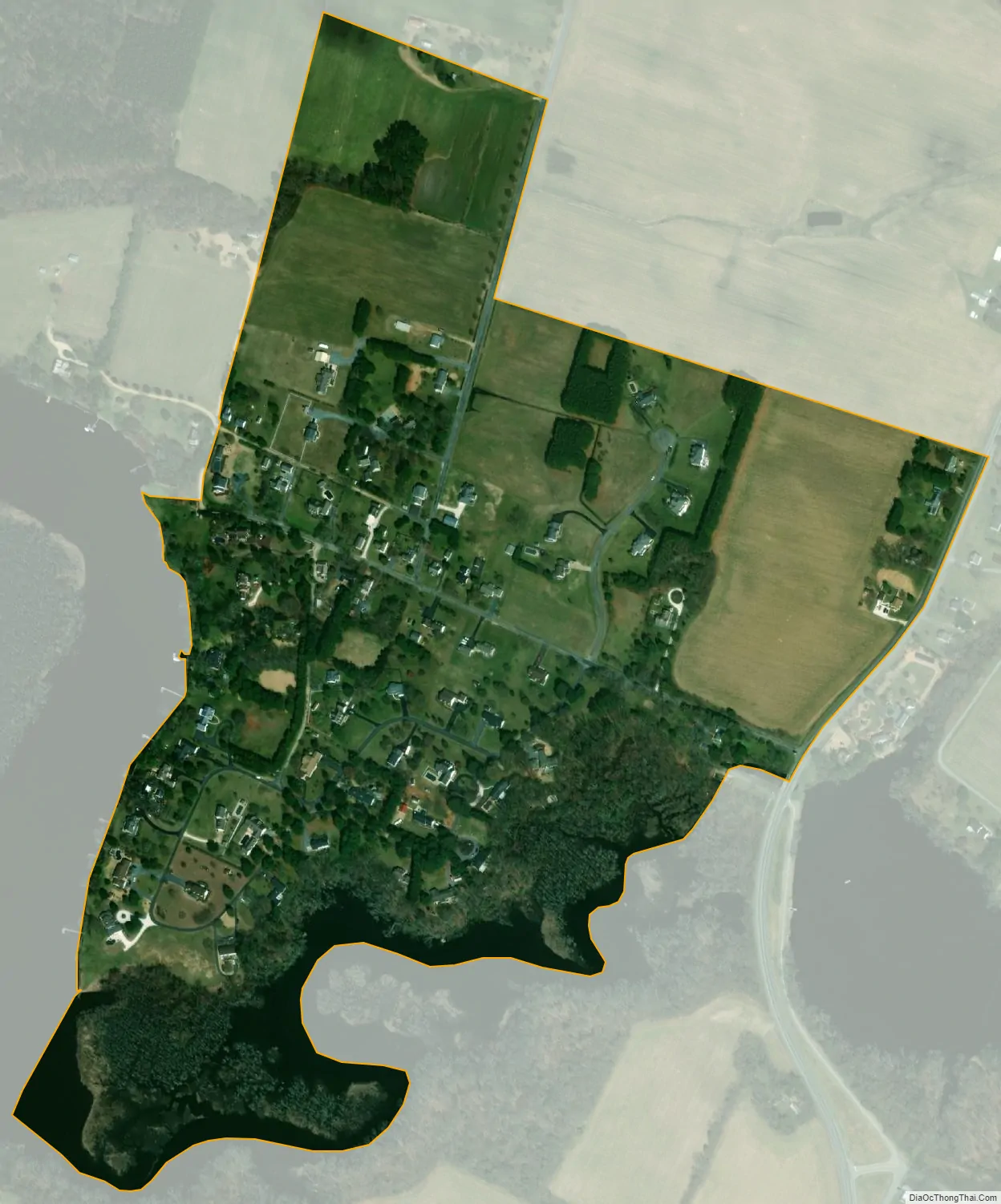
Williston city Satellite Map
See also
Map of Maryland State and its subdivision: Map of other states:- Alabama
- Alaska
- Arizona
- Arkansas
- California
- Colorado
- Connecticut
- Delaware
- District of Columbia
- Florida
- Georgia
- Hawaii
- Idaho
- Illinois
- Indiana
- Iowa
- Kansas
- Kentucky
- Louisiana
- Maine
- Maryland
- Massachusetts
- Michigan
- Minnesota
- Mississippi
- Missouri
- Montana
- Nebraska
- Nevada
- New Hampshire
- New Jersey
- New Mexico
- New York
- North Carolina
- North Dakota
- Ohio
- Oklahoma
- Oregon
- Pennsylvania
- Rhode Island
- South Carolina
- South Dakota
- Tennessee
- Texas
- Utah
- Vermont
- Virginia
- Washington
- West Virginia
- Wisconsin
- Wyoming