Woodsboro is a town in Frederick County, Maryland, United States that was granted to Joseph Wood in 1693. The population was 1,141 at the 2010 census.
| Name: | Woodsboro town |
|---|---|
| LSAD Code: | 43 |
| LSAD Description: | town (suffix) |
| State: | Maryland |
| County: | Frederick County |
| Founded: | 1786 |
| Incorporated: | 1836 |
| Elevation: | 397 ft (121 m) |
| Total Area: | 0.71 sq mi (1.84 km²) |
| Land Area: | 0.71 sq mi (1.83 km²) |
| Water Area: | 0.00 sq mi (0.01 km²) |
| Total Population: | 1,092 |
| Population Density: | 1,544.55/sq mi (595.97/km²) |
| ZIP code: | 21798 |
| Area code: | 301, 240 |
| FIPS code: | 2486750 |
| GNISfeature ID: | 0591604 |
Online Interactive Map
Click on ![]() to view map in "full screen" mode.
to view map in "full screen" mode.
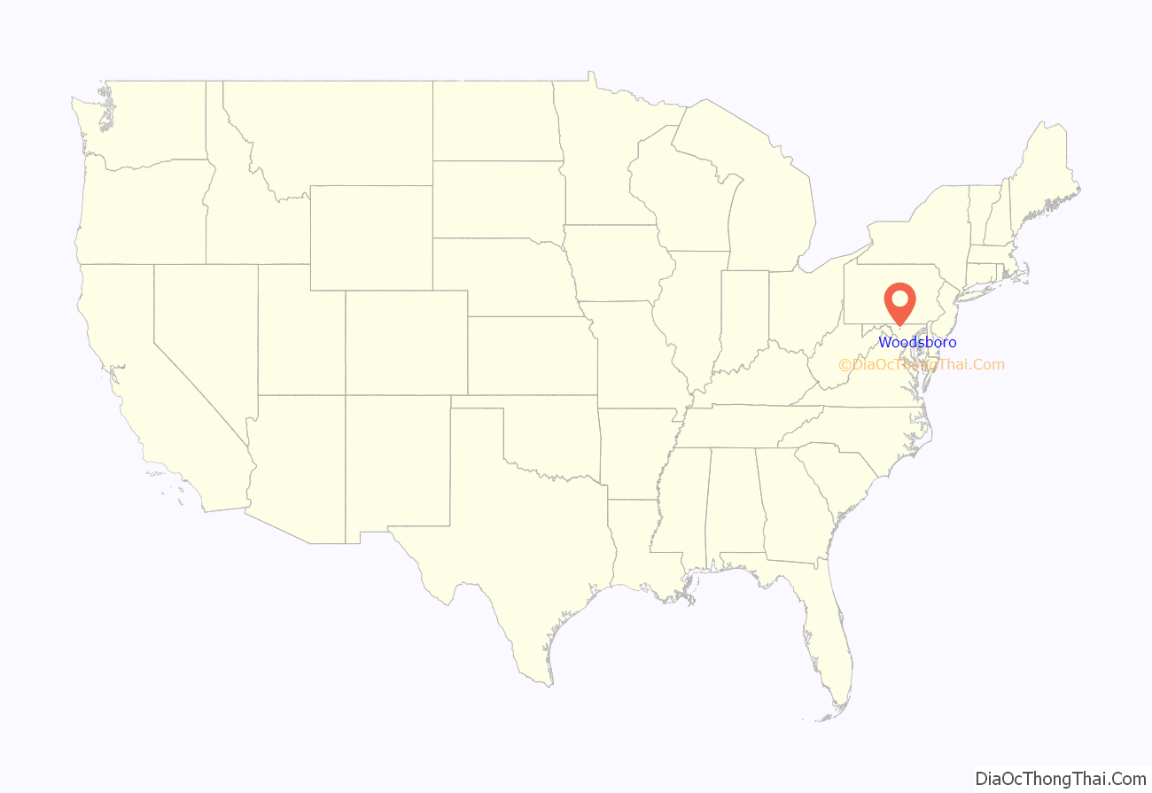
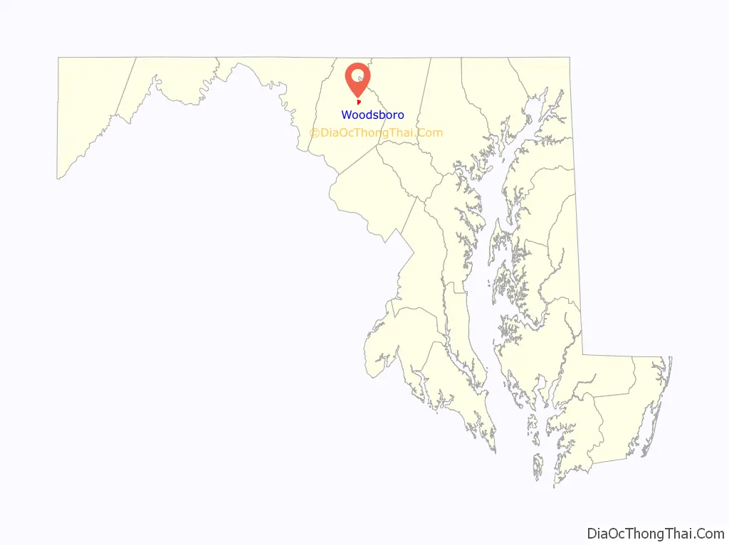
Woodsboro location map. Where is Woodsboro town?
History
The town was named after Joseph Wood. The LeGore Bridge was listed on the National Register of Historic Places in 1978 and Woods Mill Farm was listed in 2007.
In 1895, Dr. George F. Smith founded Rosebud Perfume Company in Woodsboro. Smith had eight children, and served as mayor of the town for 19 years. The business has remained in the family, and as of 2012, was still producing its famous “Smith’s Rosebud Salve,” a lip gloss and salve originally known as tholene. The products are shipped from company headquarters in Woodsboro; however, “the salve is manufactured and filled at Case Mason in Joppa, Md., and the tins are made in Baltimore.”
The Woodsboro Savings Bank, and several buildings associated with the three limestone quarries near the town are among the structures which have been considered for historic preservation.
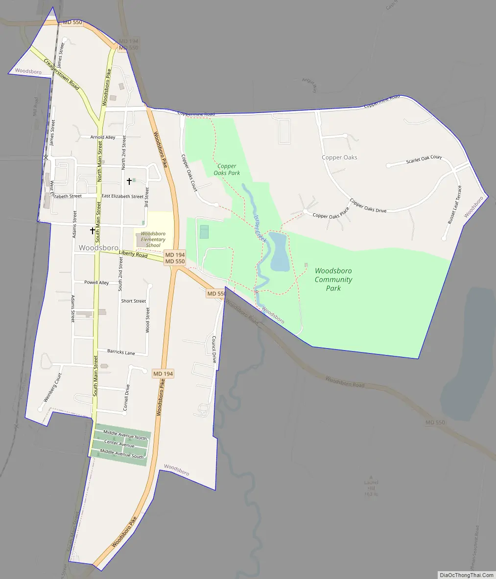
Woodsboro Road Map
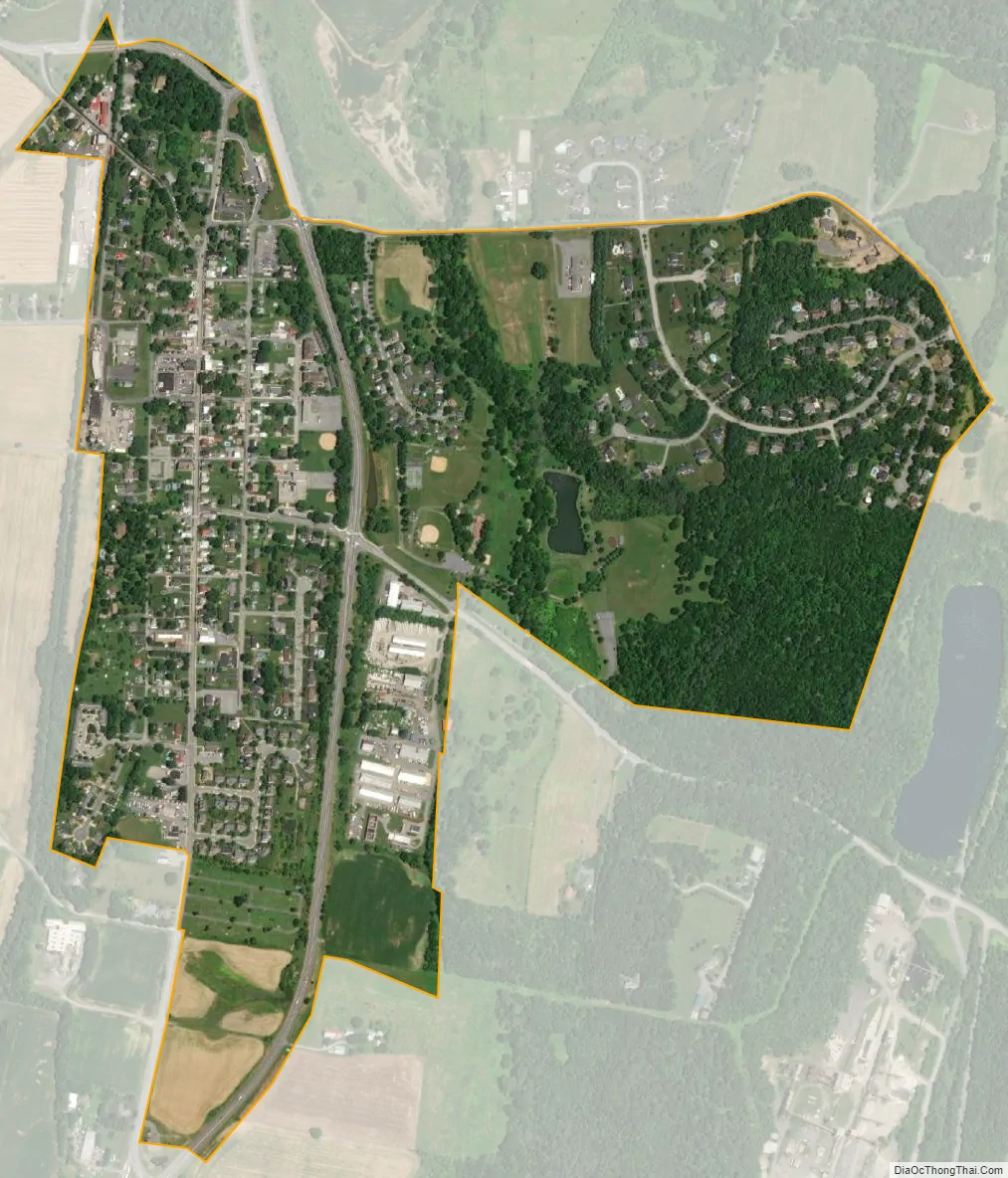
Woodsboro city Satellite Map
Geography
Woodsboro is located at 39°32′4″N 77°18′52″W / 39.53444°N 77.31444°W / 39.53444; -77.31444 (39.534400, -77.314329).
According to the United States Census Bureau, the town has a total area of 0.71 square miles (1.84 km), all land.
See also
Map of Maryland State and its subdivision: Map of other states:- Alabama
- Alaska
- Arizona
- Arkansas
- California
- Colorado
- Connecticut
- Delaware
- District of Columbia
- Florida
- Georgia
- Hawaii
- Idaho
- Illinois
- Indiana
- Iowa
- Kansas
- Kentucky
- Louisiana
- Maine
- Maryland
- Massachusetts
- Michigan
- Minnesota
- Mississippi
- Missouri
- Montana
- Nebraska
- Nevada
- New Hampshire
- New Jersey
- New Mexico
- New York
- North Carolina
- North Dakota
- Ohio
- Oklahoma
- Oregon
- Pennsylvania
- Rhode Island
- South Carolina
- South Dakota
- Tennessee
- Texas
- Utah
- Vermont
- Virginia
- Washington
- West Virginia
- Wisconsin
- Wyoming


