Bradley Beach is a borough in Monmouth County, in the U.S. state of New Jersey. As of the 2020 United States census, the borough’s population was 4,282, a decrease of 16 (−0.4%) from the 2010 census count of 4,298, which in turn reflected a decrease of 495 (−10.3%) from the 4,793 counted at the 2000 census. The summer population can reach 30,000.
| Name: | Bradley Beach borough |
|---|---|
| LSAD Code: | 21 |
| LSAD Description: | borough (suffix) |
| State: | New Jersey |
| County: | Monmouth County |
| Incorporated: | March 13, 1893 |
| Elevation: | 16 ft (5 m) |
| Total Area: | 0.63 sq mi (1.64 km²) |
| Land Area: | 0.61 sq mi (1.58 km²) |
| Water Area: | 0.02 sq mi (0.05 km²) 3.33% |
| Total Population: | 4,282 |
| Population Density: | 7,014.4/sq mi (2,708.3/km²) |
| ZIP code: | 07720 |
| Area code: | 732 |
| FIPS code: | 3406970 |
| GNISfeature ID: | 0885167 |
| Website: | www.bradleybeachnj.gov |
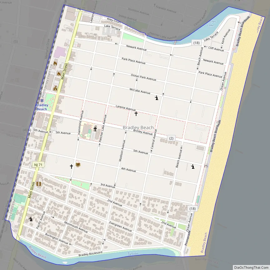
Online Interactive Map
Click on ![]() to view map in "full screen" mode.
to view map in "full screen" mode.
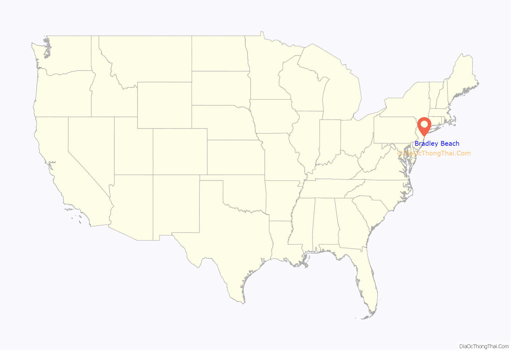
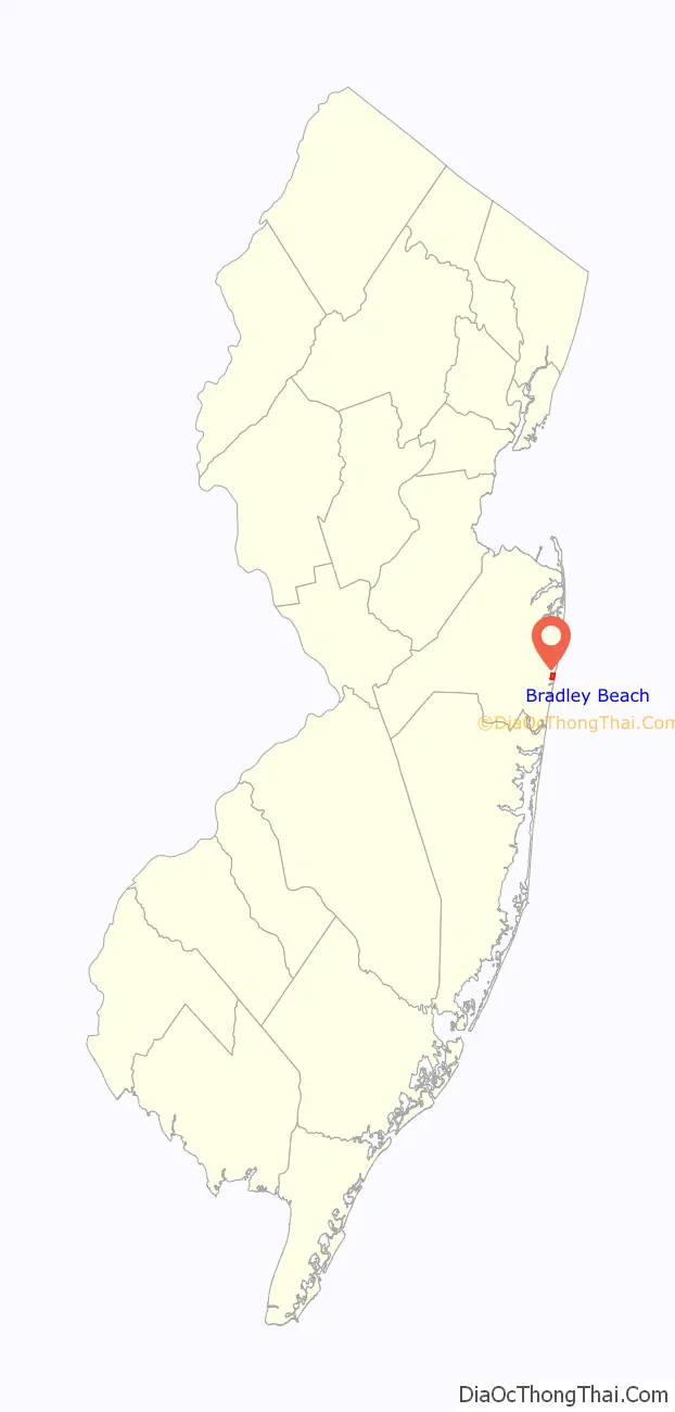
Bradley Beach location map. Where is Bradley Beach borough?
History
Bradley Beach was named for James A. Bradley, the developer responsible for the creation of the Bradley Beach and Asbury Park. In 1871, William B. Bradner, with James A. Bradley as an investor, acquired 54 acres (22 ha) of land north of Avon-by-the-Sea, and south of Ocean Grove. At the time the area where they had purchased their land was known informally as Ocean Park and was part of Ocean Township and later became part of Neptune Township.
Citizens appealed to the New Jersey Legislature for a referendum to separate Bradley Beach from Neptune Township, and on March 13, 1893, Bradley Beach was incorporated, based on the results of a referendum held on March 6, 1893. The borough’s incorporation was confirmed on March 13, 1925.
It was the first location in the United States to charge sea bathers for beach access when it began minting its own tin badges starting in 1929.
Sand dunes were constructed on the borough’s beaches in the mid-1990s at a cost of $10,000, using snow fences and discarded Christmas trees to build a base of wind-driven sand that rose 15 feet (4.6 m), atop which dune grass was planted. These dunes helped provide significant protection to Bradley Beach from the havoc wreaked by Hurricane Sandy in October 2012, blunting the impact of the storm surge and limiting damage in the borough to beach areas and homes near the shore to $3 million, while neighboring communities that hadn’t constructed such dunes suffered much more extensive damage.
The borough had gone into decline after World War II, with growth returning around 2000 as seasonal visitors and new residents purchased properties, which borough regulations require that they must be renovated on the same footprint as the original home.
Bradley Beach Road Map
Bradley Beach city Satellite Map

Geography
According to the U.S. Census Bureau, the borough had a total area of 0.63 square miles (1.64 km), including 0.61 square miles (1.58 km) of land and 0.02 square miles (0.05 km) of water (3.33%).
The borough borders the Monmouth County municipalities of Avon-by-the-Sea, Neptune City and Neptune Township.
See also
Map of New Jersey State and its subdivision: Map of other states:- Alabama
- Alaska
- Arizona
- Arkansas
- California
- Colorado
- Connecticut
- Delaware
- District of Columbia
- Florida
- Georgia
- Hawaii
- Idaho
- Illinois
- Indiana
- Iowa
- Kansas
- Kentucky
- Louisiana
- Maine
- Maryland
- Massachusetts
- Michigan
- Minnesota
- Mississippi
- Missouri
- Montana
- Nebraska
- Nevada
- New Hampshire
- New Jersey
- New Mexico
- New York
- North Carolina
- North Dakota
- Ohio
- Oklahoma
- Oregon
- Pennsylvania
- Rhode Island
- South Carolina
- South Dakota
- Tennessee
- Texas
- Utah
- Vermont
- Virginia
- Washington
- West Virginia
- Wisconsin
- Wyoming


