Butler is a borough in Morris County, New Jersey, United States. As of the 2020 United States census, the borough’s population was 8,047, an increase of 508 (+6.7%) from the 2010 census count of 7,539, which in turn reflected an increase of 119 (+1.6%) from the 7,420 counted in the 2000 census.
Butler was incorporated as a borough by an act of the New Jersey Legislature on March 13, 1901, from portions of Pequannock Township.
| Name: | Butler borough |
|---|---|
| LSAD Code: | 21 |
| LSAD Description: | borough (suffix) |
| State: | New Jersey |
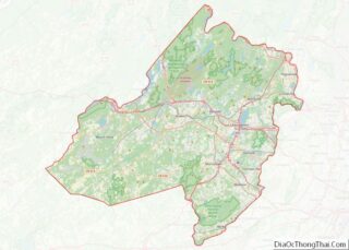
| County: | Morris County |
| Incorporated: | March 13, 1901 |
| Elevation: | 456 ft (139 m) |
| Total Area: | 2.06 sq mi (5.34 km²) |
| Land Area: | 2.03 sq mi (5.27 km²) |
| Water Area: | 0.03 sq mi (0.07 km²) 1.31% |
| Total Population: | 8,047 |
| Population Density: | 3,956.2/sq mi (1,527.5/km²) |
| ZIP code: | 07405 |
| Area code: | 973 |
| FIPS code: | 3409040 |
| GNISfeature ID: | 0885175 |
| Website: | www.butlerborough.com |
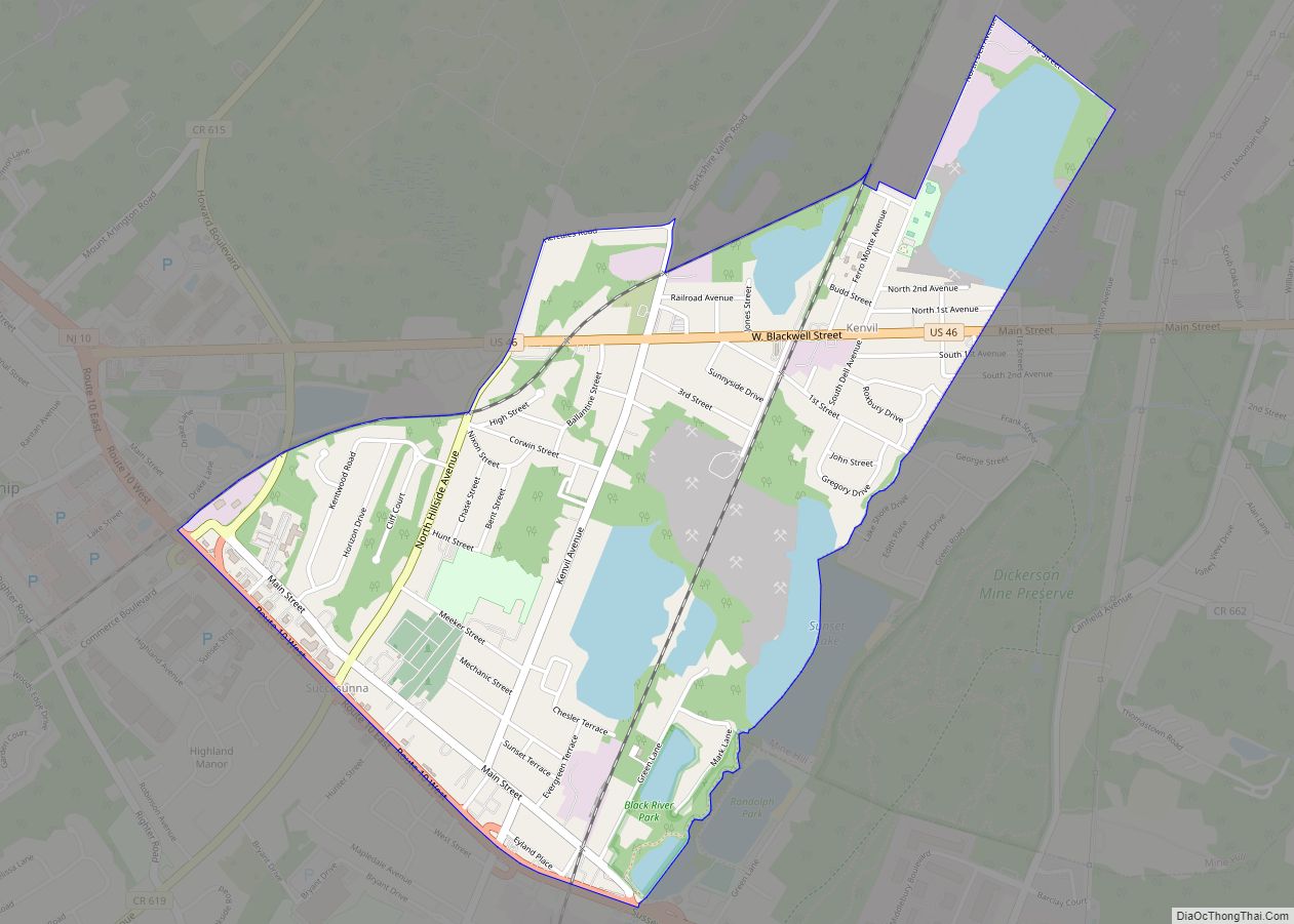
Online Interactive Map
Click on ![]() to view map in "full screen" mode.
to view map in "full screen" mode.
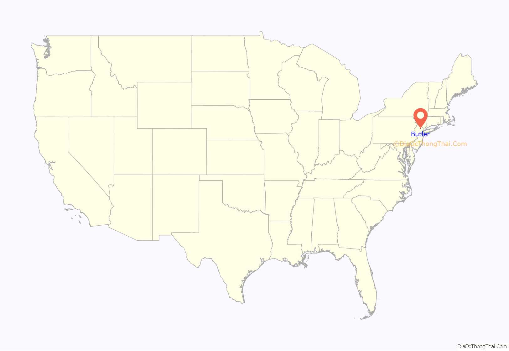
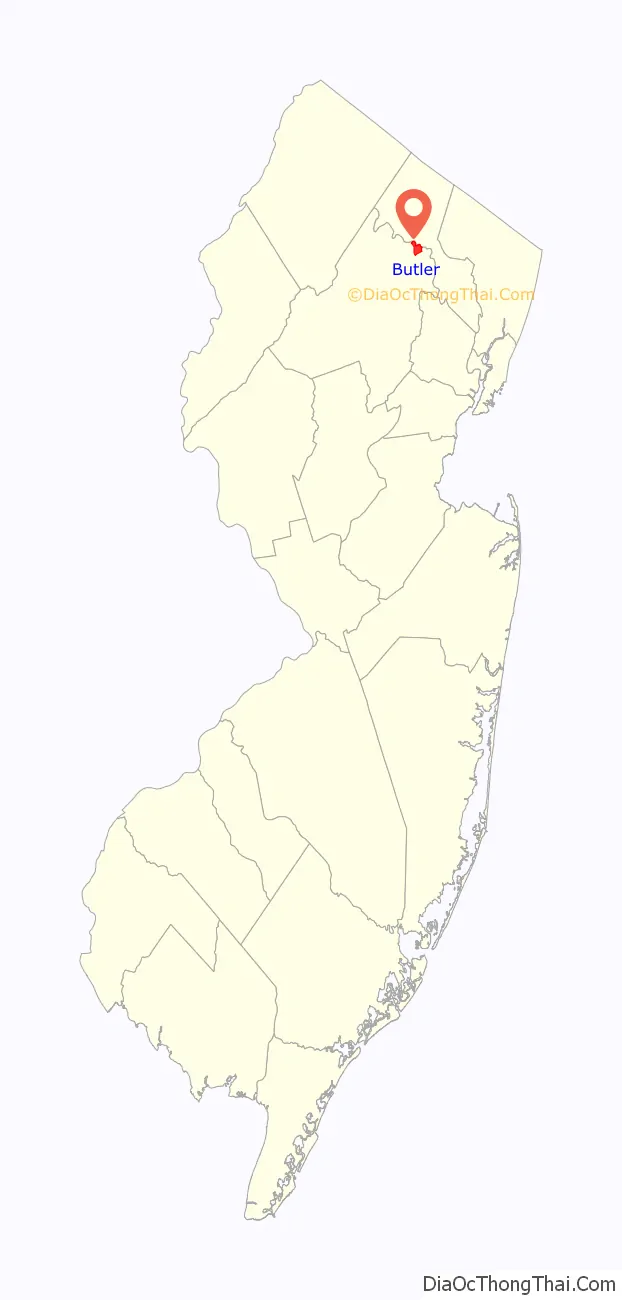
Butler location map. Where is Butler borough?
History
The area now known as Butler was originally called “West Bloomingdale” and was sparsely populated. Water power brought manufacturing entities to the area. In 1857, The Pequannock Valley Paper Company moved from Bergen County and in 1868 the Newbrough Hard Rubber Company built a factory, both based along the Pequannock River. These were two significant economic entities that contributed to the growth of the borough. In 1871, the New Jersey Midland Railroad extended track through Butler from Paterson, making an important transportation connection for both passengers and freight. The northern terminus for the New York, Susquehanna and Western Railway’s passenger service was located at Butler until 1966. The railroad still carries freight through Butler.
The growing community was given the name “Butler” in 1881 after Richard Butler, who had taken ownership of the Hard Rubber Company. A Post Office was established and a larger railroad station was built. This station has been the Borough Museum since 1977. The Hard Rubber Company eventually merged with other businesses and became the American Hard Rubber Company in 1898. A “Soft” Rubber Company built a factory just along Main Street. The borough continued to grow as other factories and supporting businesses were established. The population in 1920 was 2,265 people. By 1950, it was 4,063.
Butler’s largest fire began just after midnight, February 26, 1957, when one of the nation’s largest rubber reclaiming mills (Pequanoc Rubber Company on Main Street) was destroyed by a blaze estimated to have caused a loss of as much as $3 million (equivalent to $28.9 million in 2021). The mill occupied the site on upper Main Street, an irregular shaped complex 600 feet by 300 feet and three to four stories high; it produced over 100 tons of reusable sheet rubber daily from 200 tons of scrap. One Butler Heights resident remembers the fire being so bright she could read a newspaper in her yard at 3 am at a distance of a mile. The glow reportedly was visible for 100 miles, mutual aid response was required by volunteer fire companies from a dozen nearby fire companies.
Numerous organizations exist in town and, along with the neighboring towns of Kinnelon and Bloomingdale, many “Tri-Boro” organizations serve the area, including the local Little League & Volunteer First Aid Squad.
Butler was the location of a health resort run by Benedict Lust called “Yungborn” that opened on September 15, 1896.
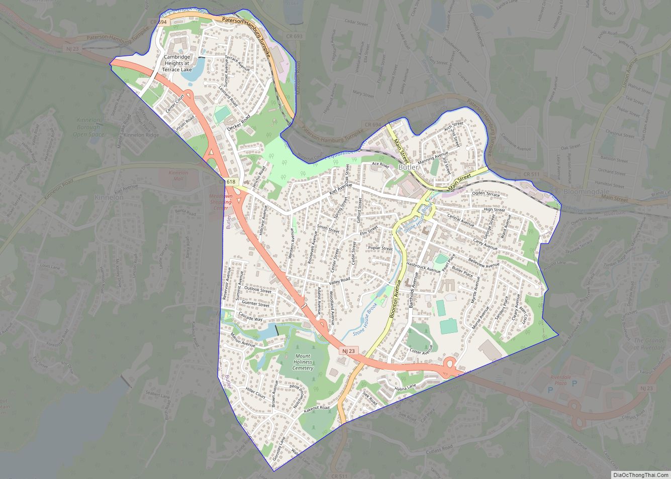
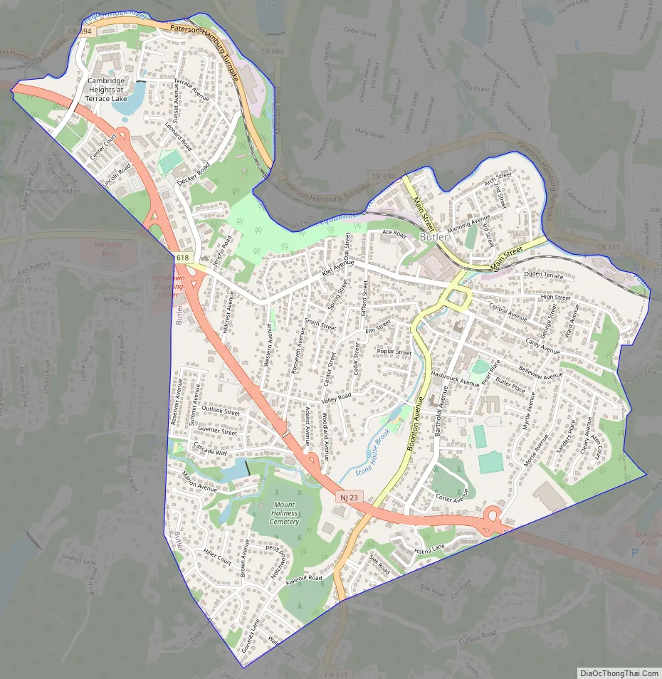
Butler Road Map
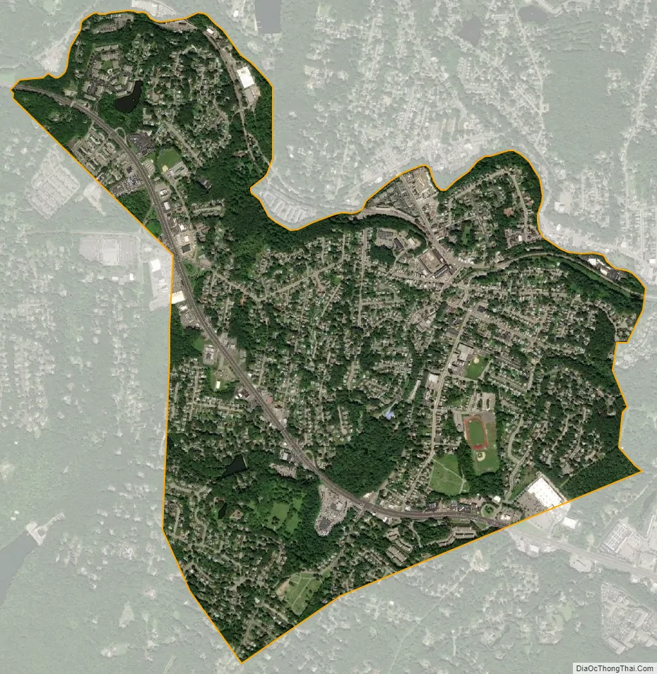
Butler city Satellite Map
Geography
According to the United States Census Bureau, the borough had a total area of 2.06 square miles (5.34 km), including 2.03 square miles (5.27 km) of land and 0.03 square miles (0.07 km) of water (1.31%).
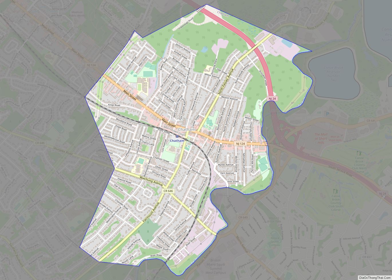
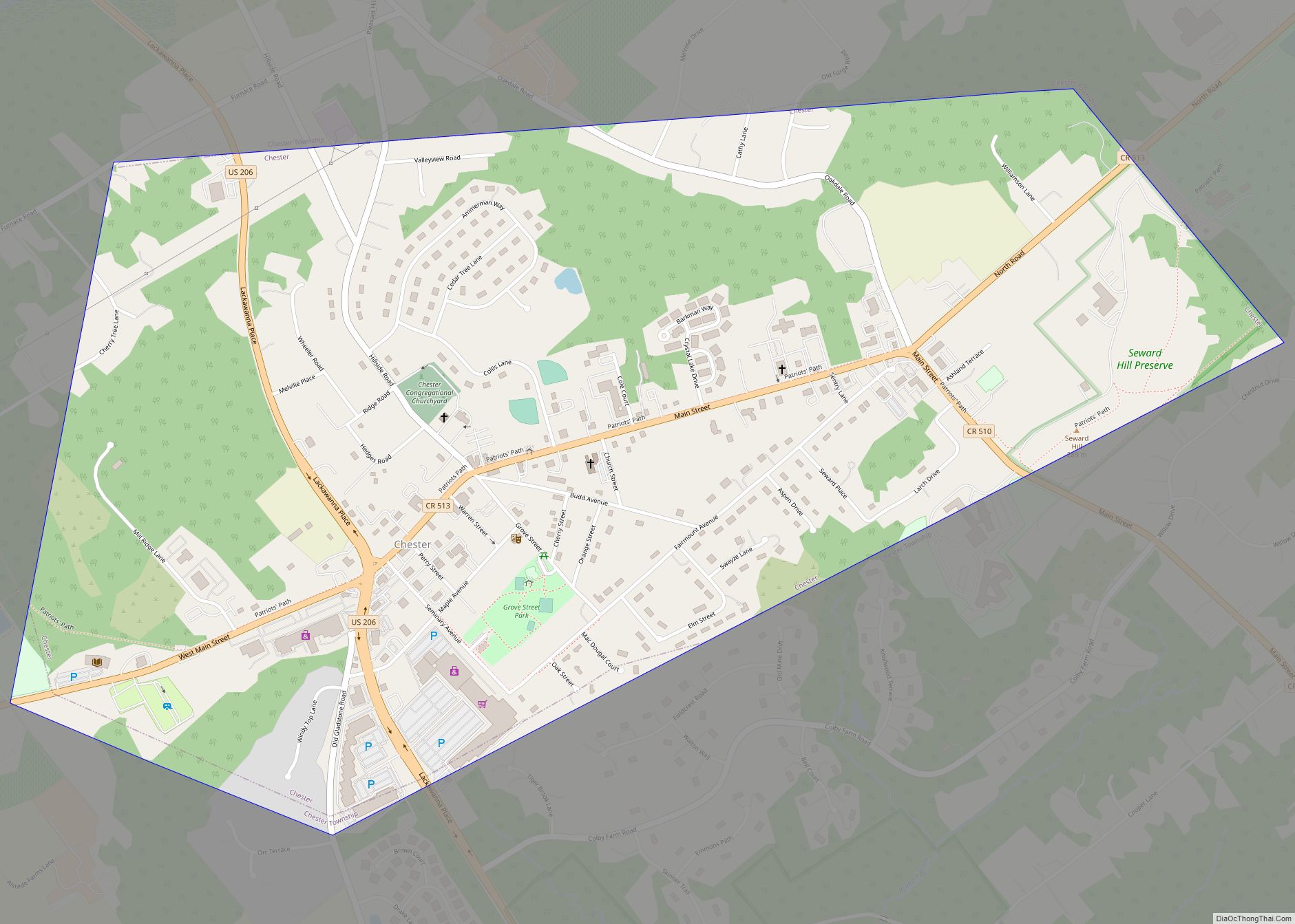
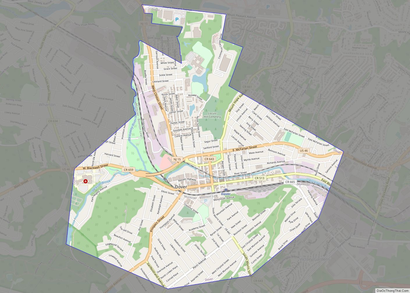
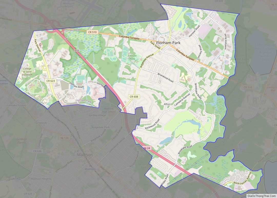
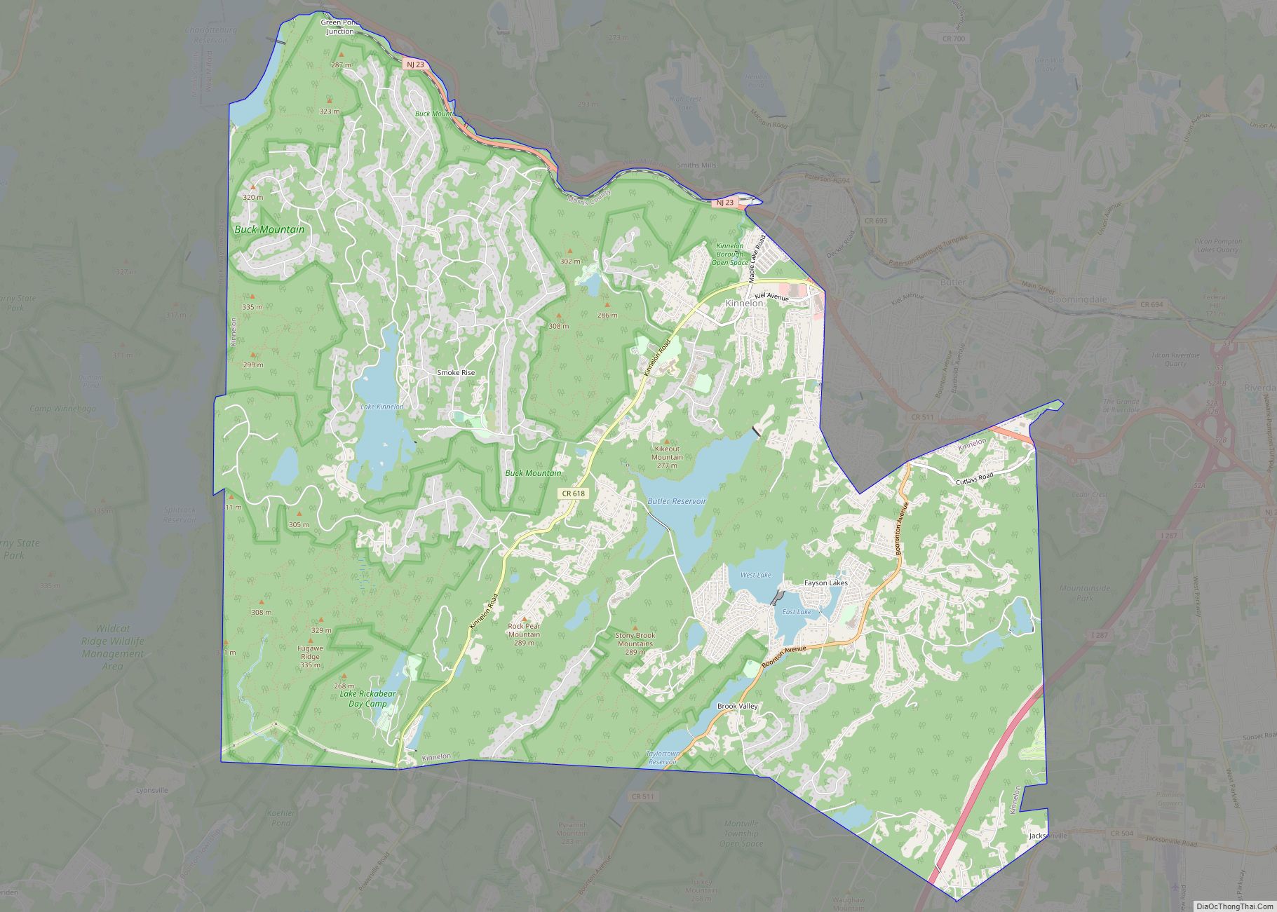
The borough borders the municipalities of Kinnelon and Riverdale in Morris County; and both Bloomingdale and West Milford in Passaic County.
See also
Map of New Jersey State and its subdivision: Map of other states:- Alabama
- Alaska
- Arizona
- Arkansas
- California
- Colorado
- Connecticut
- Delaware
- District of Columbia
- Florida
- Georgia
- Hawaii
- Idaho
- Illinois
- Indiana
- Iowa
- Kansas
- Kentucky
- Louisiana
- Maine
- Maryland
- Massachusetts
- Michigan
- Minnesota
- Mississippi
- Missouri
- Montana
- Nebraska
- Nevada
- New Hampshire
- New Jersey
- New Mexico
- New York
- North Carolina
- North Dakota
- Ohio
- Oklahoma
- Oregon
- Pennsylvania
- Rhode Island
- South Carolina
- South Dakota
- Tennessee
- Texas
- Utah
- Vermont
- Virginia
- Washington
- West Virginia
- Wisconsin
- Wyoming