Eatontown is a borough in Monmouth County, in the U.S. state of New Jersey. As of the 2020 United States census, the borough’s population was 13,597, an increase of 888 (+7.0%) from the 2010 census count of 12,709, which in turn reflected a decline of 1,299 (−9.3%) from the 14,008 counted in the 2000 census.
What is now Eatontown was originally incorporated as Eatontown Township by an act of the New Jersey Legislature on April 4, 1873, from portions of Ocean Township and Shrewsbury Township. Portions of the township were taken to form West Long Branch (April 7, 1908) and Oceanport (April 6, 1920). Eatontown was reincorporated as a borough on March 8, 1926, replacing Eatontown Township, based on the results of a referendum held on April 13, 1926. The borough was named for Thomas Eaton, an early settler who built a mill c. 1670.
The United States Army’s Fort Monmouth operated in Eatontown from 1917 until its closure in September 2011, based on recommendations from the Base Realignment and Closure Commission. It was home to the United States Army Materiel Command’s (AMC) Communication and Electronics Command (CECOM). Fort Monmouth was also home to the United States Military Academy Preparatory School (or USMAPS), which trains approximately 250 students per year to enter as freshmen (plebes) at the United States Military Academy at West Point.
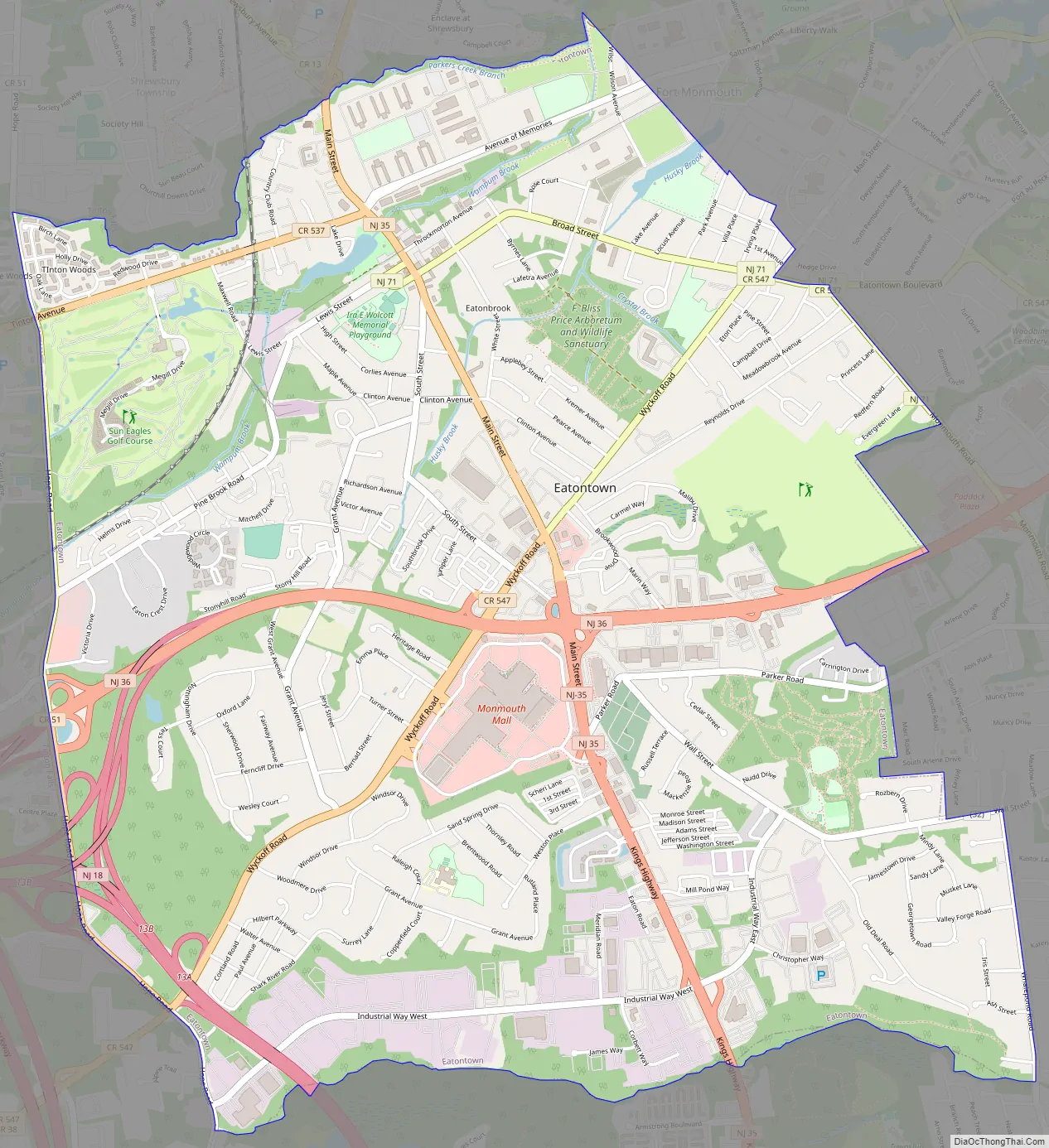
In the center of Eatontown is the Monmouth Mall, located at the intersection of Route 35 and Route 36, featuring a variety of stores, restaurants, and a 15-screen cineplex, with a gross leasable area of 1,500,000 square feet (140,000 m). Celebrity chef Bobby Flay previously owned a restaurant in Eatontown.
| Name: | Eatontown borough |
|---|---|
| LSAD Code: | 21 |
| LSAD Description: | borough (suffix) |
| State: | New Jersey |
| County: | Monmouth County |
| Incorporated: | April 4, 1873 as township |
| Elevation: | 52 ft (16 m) |
| Total Area: | 5.89 sq mi (15.26 km²) |
| Land Area: | 5.84 sq mi (15.13 km²) |
| Water Area: | 0.05 sq mi (0.13 km²) 0.87% |
| Population Density: | 2,327.9/sq mi (898.8/km²) |
| Area code: | 732 |
| FIPS code: | 3419840 |
| GNISfeature ID: | 0885202 |
| Website: | www.eatontownnj.com |
Online Interactive Map
Click on ![]() to view map in "full screen" mode.
to view map in "full screen" mode.
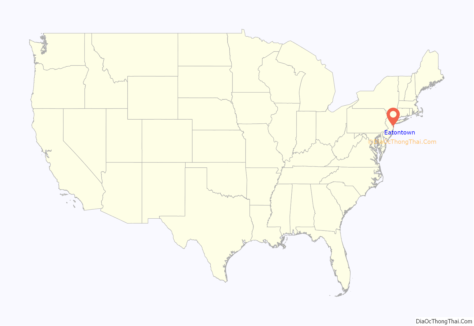
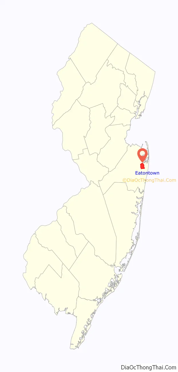
Eatontown location map. Where is Eatontown borough?
History
Eatontown’s history is documented in the book Eatontown and Fort Monmouth.
In 1670, Thomas Eaton (for which the town is named) surveyed the area and constructed a grist mill in present-day Wampum Lake Park.
From the book Eatontown and Fort Monmouth:
In 1886, a mob broke into the jail and removed a black man, Samuel “Mingo Jack” Johnson, who was being held for the alleged rape of a white woman. The mob brutally beat and then hanged Johnson, the father of five. Later events show that it was extremely unlikely that Johnson was guilty of the crime. In 2012, mayor Gerald Tarantolo issued a public apology for the failure of security at the jail.
In 2020, Eatontown was to celebrate its 350th anniversary, but most of the activities were delayed due to COVID-19 concerns.
Eatontown Road Map
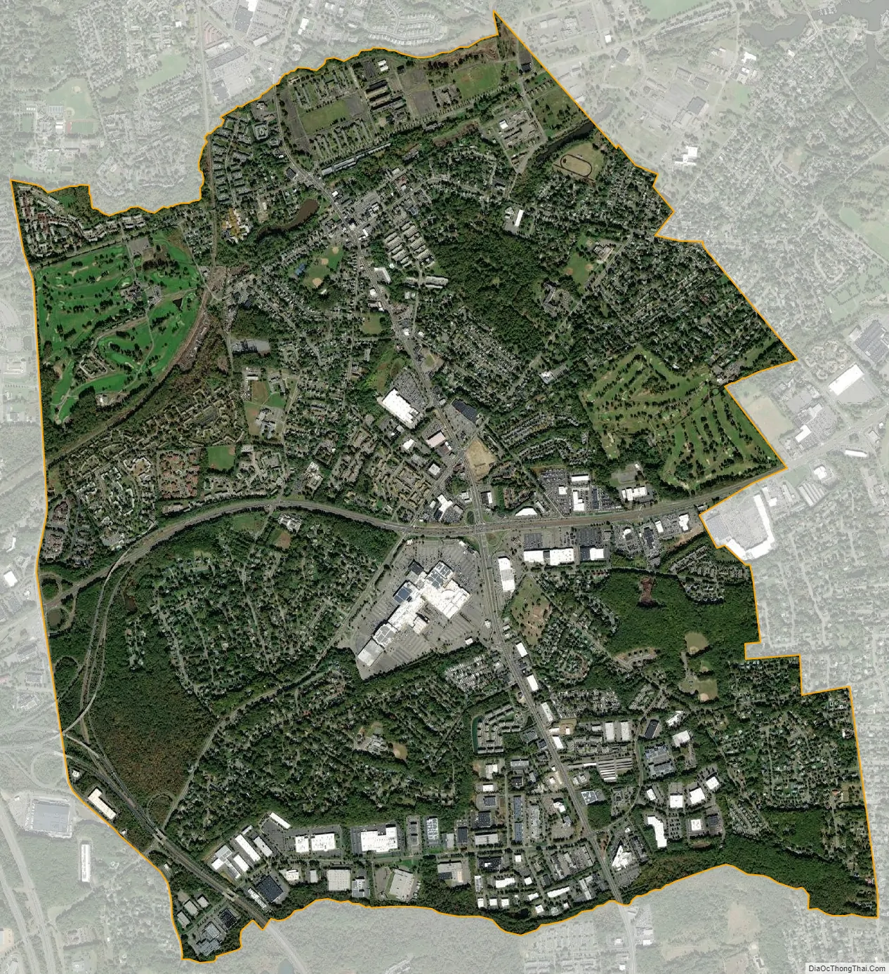
Eatontown city Satellite Map
Geography
According to the United States Census Bureau, the borough had a total area of 5.89 square miles (15.26 km), including 5.84 square miles (15.13 km) of land and 0.05 square miles (0.13 km) of water (0.87%).
The Unincorporated community of Locust Grove is located within the borough.
The borough borders the Monmouth County municipalities of Shrewsbury borough on the north, Oceanport to the northeast, West Long Branch to the east, Ocean Township to the south and Tinton Falls to the west.
See also
Map of New Jersey State and its subdivision: Map of other states:- Alabama
- Alaska
- Arizona
- Arkansas
- California
- Colorado
- Connecticut
- Delaware
- District of Columbia
- Florida
- Georgia
- Hawaii
- Idaho
- Illinois
- Indiana
- Iowa
- Kansas
- Kentucky
- Louisiana
- Maine
- Maryland
- Massachusetts
- Michigan
- Minnesota
- Mississippi
- Missouri
- Montana
- Nebraska
- Nevada
- New Hampshire
- New Jersey
- New Mexico
- New York
- North Carolina
- North Dakota
- Ohio
- Oklahoma
- Oregon
- Pennsylvania
- Rhode Island
- South Carolina
- South Dakota
- Tennessee
- Texas
- Utah
- Vermont
- Virginia
- Washington
- West Virginia
- Wisconsin
- Wyoming


