Fair Haven is a borough situated in the Jersey Shore region within Monmouth County, in the U.S. state of New Jersey, in the New York metropolitan area. Fair Haven is located on the Rumson peninsula along the Navesink River and is bordered by Red Bank and Little Silver to the west. As of the 2020 United States census, the borough’s population was 6,269, its highest decennial count ever and an increase of 148 (+2.4%) from the 2010 census count of 6,121, which in turn reflected an increase of 184 (+3.1%) from the 5,937 counted at the 2000 census.
Fair Haven was incorporated as a borough by an act of the New Jersey Legislature on March 28, 1912, from portions of Shrewsbury Township, subject to the results of a referendum held on April 23, 1912. Portions of the borough were exchanged with Red Bank on June 17, 1957.
The borough has been one of the state’s highest-income communities. In the 2013–2017 American Community Survey, Fair Haven had a median household income of $158,264 (ranked 23rd in the state) and included 36.6% of households earning more than $200,000 annually.
In 2012, Forbes.com listed Fair Haven as 355th in its listing of “America’s Most Expensive ZIP Codes”, with a median home price of $804,446. In 2018, New Jersey Business Magazine listed Fair Haven as 25th in its listing of “The Most Expensive ZIP Codes in New Jersey”, with a median sale price 2017 of $745,000
| Name: | Fair Haven borough |
|---|---|
| LSAD Code: | 21 |
| LSAD Description: | borough (suffix) |
| State: | New Jersey |
| County: | Monmouth County |
| Incorporated: | April 23, 1912 |
| Elevation: | 20 ft (6 m) |
| Total Area: | 2.11 sq mi (5.47 km²) |
| Land Area: | 1.59 sq mi (4.13 km²) |
| Water Area: | 0.52 sq mi (1.34 km²) 24.55% |
| Total Population: | 6,269 |
| Population Density: | 3,935.3/sq mi (1,519.4/km²) |
| ZIP code: | 07704 |
| Area code: | 732 |
| FIPS code: | 3422440 |
| GNISfeature ID: | 0885213 |
| Website: | www.fairhavennj.org |
Online Interactive Map
Click on ![]() to view map in "full screen" mode.
to view map in "full screen" mode.
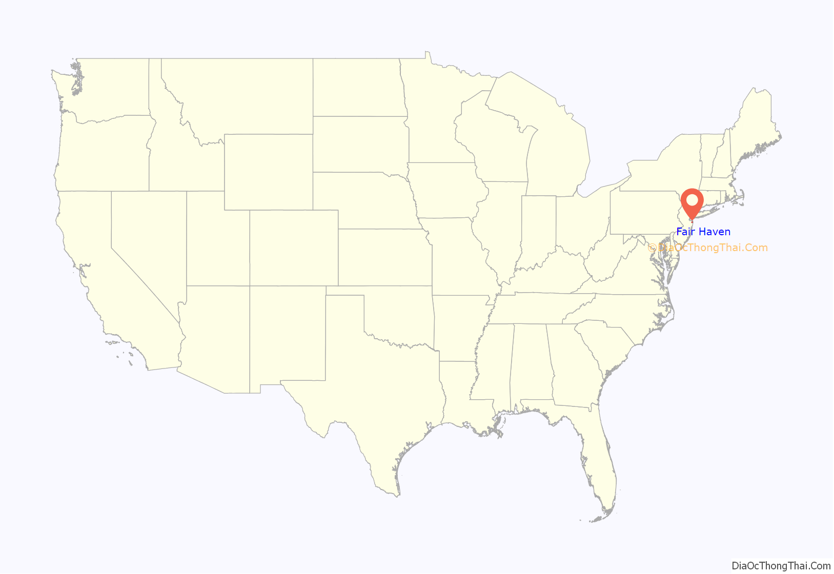
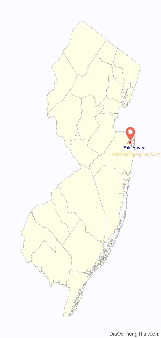
Fair Haven location map. Where is Fair Haven borough?
History
Fair Haven’s first permanent settlement dates to a structure built in 1816 at the Navesink River near today’s Fair Haven Road. By the mid-19th century, steamboats stopped at “Chandler’s Dock” on a route between Red Bank and New York City, bringing visitors to the area and local oysters to the city. Fisk Chapel was rebuilt in 1882 to accommodate the borough’s African American population.
The steamship “Albertina” is depicted on the Borough seal. It was built in 1882 by Lawrence & Foulks.
Fair Haven has an annual Fireman’s Fair during the last weekend of summer including Labor Day weekend which attracts a couple of thousand people, including noted musicians Bruce Springsteen and Bon Jovi. The Fair Haven Fireman’s Fair also has a Fireman’s night and invites all firefighters from any other firehouse to come and join in the festivities. The Fireman’s Fair used to raffle off a car each year, but most attendees already had their own cars and the decision was made in the 1990s to switch to a 50/50 raffle whose prize can be in the tens of thousands of dollars. The fair is on the Fire Company grounds.
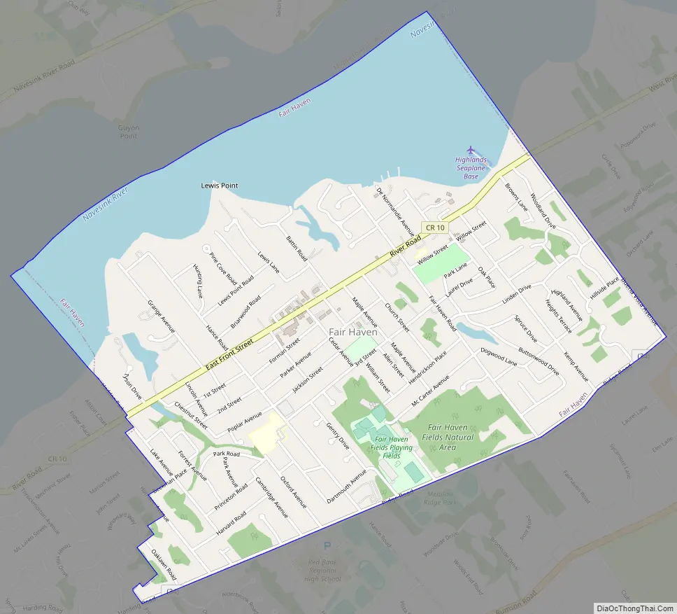
Fair Haven Road Map
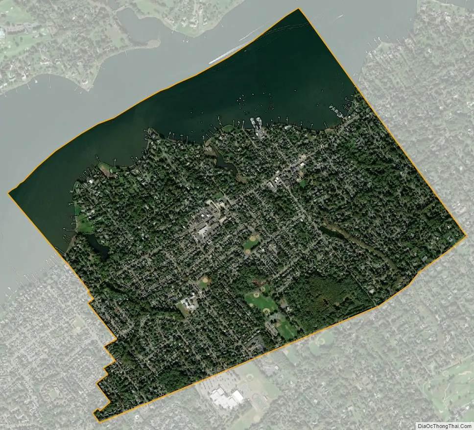
Fair Haven city Satellite Map
Geography
According to the United States Census Bureau, the borough had a total area of 2.11 square miles (5.47 km), including 1.59 square miles (4.13 km) of land and 0.52 square miles (1.34 km) of water (24.55%).
The borough borders the Monmouth County communities of Little Silver, Middletown Township, Red Bank and Rumson.
See also
Map of New Jersey State and its subdivision: Map of other states:- Alabama
- Alaska
- Arizona
- Arkansas
- California
- Colorado
- Connecticut
- Delaware
- District of Columbia
- Florida
- Georgia
- Hawaii
- Idaho
- Illinois
- Indiana
- Iowa
- Kansas
- Kentucky
- Louisiana
- Maine
- Maryland
- Massachusetts
- Michigan
- Minnesota
- Mississippi
- Missouri
- Montana
- Nebraska
- Nevada
- New Hampshire
- New Jersey
- New Mexico
- New York
- North Carolina
- North Dakota
- Ohio
- Oklahoma
- Oregon
- Pennsylvania
- Rhode Island
- South Carolina
- South Dakota
- Tennessee
- Texas
- Utah
- Vermont
- Virginia
- Washington
- West Virginia
- Wisconsin
- Wyoming


