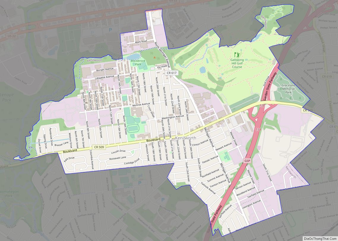
Kenilworth is a borough in Union County, in the U.S. state of New Jersey. As of the 2020 United States census, the borough’s population was 8,427, an increase of 513 (+6.5%) from the 2010 census count of 7,914, which in turn reflected an increase of 239 (+3.1%) from the 7,675 counted in the 2000 census.
Kenilworth was incorporated as a borough by an act of the New Jersey Legislature on May 13, 1907, from portions of Cranford and Union Township, based on the results of a referendum held on June 18, 1907.
| Name: | Kenilworth borough |
|---|---|
| LSAD Code: | 21 |
| LSAD Description: | borough (suffix) |
| State: | New Jersey |
| County: | Union County |
| Incorporated: | May 13, 1907 |
| Elevation: | 115 ft (35 m) |
| Total Area: | 2.15 sq mi (5.57 km²) |
| Land Area: | 2.15 sq mi (5.56 km²) |
| Water Area: | 0.00 sq mi (0.01 km²) 0.19% |
| Total Population: | 8,427 |
| Population Density: | 3,925.0/sq mi (1,515.5/km²) |
| ZIP code: | 07033 |
| Area code: | 908 |
| FIPS code: | 3436690 |
| GNISfeature ID: | 0885267 |
| Website: | www.kenilworthborough.com |
Online Interactive Map
Click on ![]() to view map in "full screen" mode.
to view map in "full screen" mode.
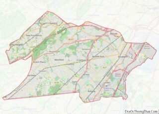
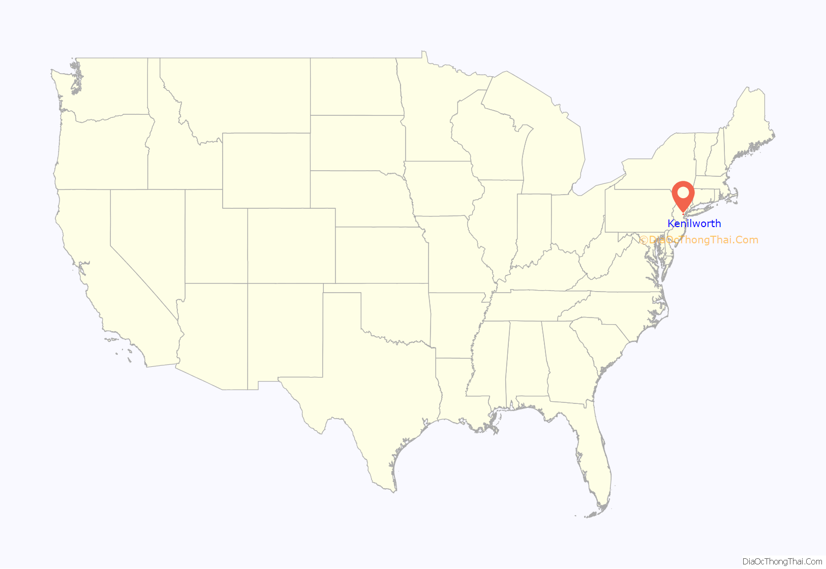
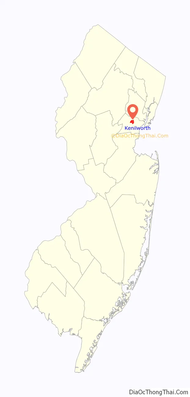
Kenilworth location map. Where is Kenilworth borough?
History
In the late 1890s, the New Orange Industrial Association purchased land in Cranford and Union that was subdivided into building lots. The firm brought in several large industries and lured Upsala College from Brooklyn with an offer of cash and free land for its campus.
Because New Orange was often confused with one of The Oranges in Essex County, the name “Kenilworth” was chosen when the borough was incorporated in 1907. The name Kenilworth came from a literary society (The Kenilworth Club) which the businessmen belonged to. The Kenilworth Club was named in honor of the novel Kenilworth written in 1821 by Sir Walter Scott. The novel refers to England’s Kenilworth Castle located in Kenilworth, England.
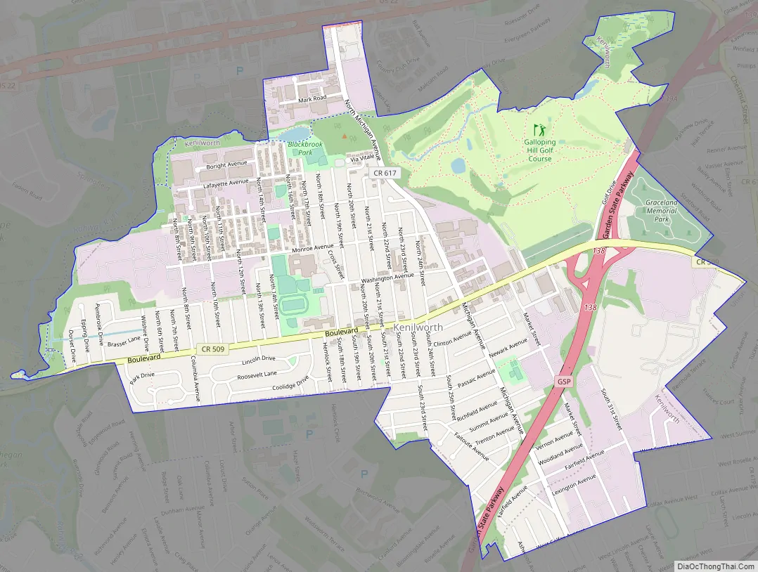
Kenilworth Road Map
Kenilworth city Satellite Map
Geography
According to the United States Census Bureau, the borough had a total area of 2.15 square miles (5.57 km), including 2.15 square miles (5.56 km) of land and <0.01 square miles (0.01 km) of water (0.19%).
The upper reaches of Rahway River Parkway along tributaries of the Rahway River run through the borough.
The borough is bordered to the north and east by Union Township, to the southeast by Roselle Park, to the southwest by Cranford, and to the northwest by Springfield Township.
See also
Map of New Jersey State and its subdivision: Map of other states:- Alabama
- Alaska
- Arizona
- Arkansas
- California
- Colorado
- Connecticut
- Delaware
- District of Columbia
- Florida
- Georgia
- Hawaii
- Idaho
- Illinois
- Indiana
- Iowa
- Kansas
- Kentucky
- Louisiana
- Maine
- Maryland
- Massachusetts
- Michigan
- Minnesota
- Mississippi
- Missouri
- Montana
- Nebraska
- Nevada
- New Hampshire
- New Jersey
- New Mexico
- New York
- North Carolina
- North Dakota
- Ohio
- Oklahoma
- Oregon
- Pennsylvania
- Rhode Island
- South Carolina
- South Dakota
- Tennessee
- Texas
- Utah
- Vermont
- Virginia
- Washington
- West Virginia
- Wisconsin
- Wyoming