Lake Como is a borough located in the Jersey Shore region, within Monmouth County, in the U.S. state of New Jersey. As of the 2020 United States census, the borough’s population was 1,697, a decrease of 62 (−3.5%) from the 2010 census count of 1,759, which in turn reflected a decline of 47 (−2.6%) from the 1,806 counted at the 2000 census. It is the tenth-smallest municipality by land area in New Jersey.
Lake Como was originally formed as the borough of South Belmar by an act of the New Jersey Legislature on March 12, 1924, from portions of Wall Township, subject to the results of a referendum held on May 6, 1924. On November 2, 2004, voters in the borough approved changing the locality’s name to Lake Como, which became effective as of January 4, 2005.
| Name: | Lake Como borough |
|---|---|
| LSAD Code: | 21 |
| LSAD Description: | borough (suffix) |
| State: | New Jersey |
| County: | Monmouth County |
| Incorporated: | May 6, 1924 as South Belmar |
| Elevation: | 16 ft (5 m) |
| Total Area: | 0.26 sq mi (0.67 km²) |
| Land Area: | 0.25 sq mi (0.65 km²) |
| Water Area: | 0.01 sq mi (0.02 km²) 3.08% |
| Total Population: | 1,697 |
| Population Density: | 6,741.7/sq mi (2,603.0/km²) |
| ZIP code: | 07719 – Belmar |
| Area code: | 732 |
| FIPS code: | 3437560 |
| GNISfeature ID: | 0885400 |
| Website: | www.lakecomonj.org |
Online Interactive Map
Click on ![]() to view map in "full screen" mode.
to view map in "full screen" mode.
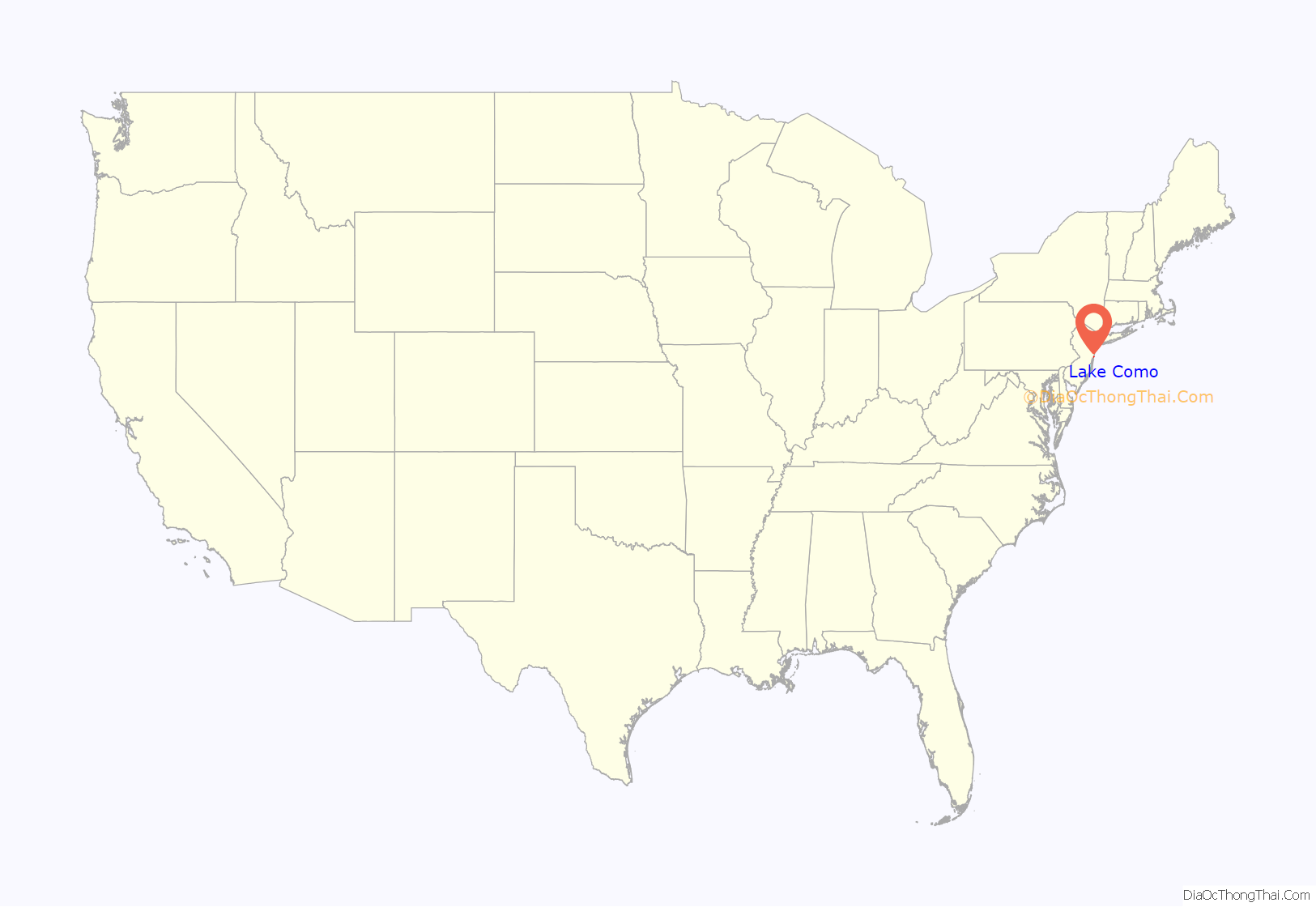
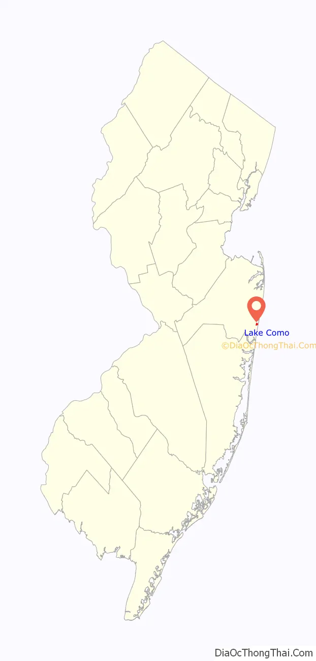
Lake Como location map. Where is Lake Como borough?
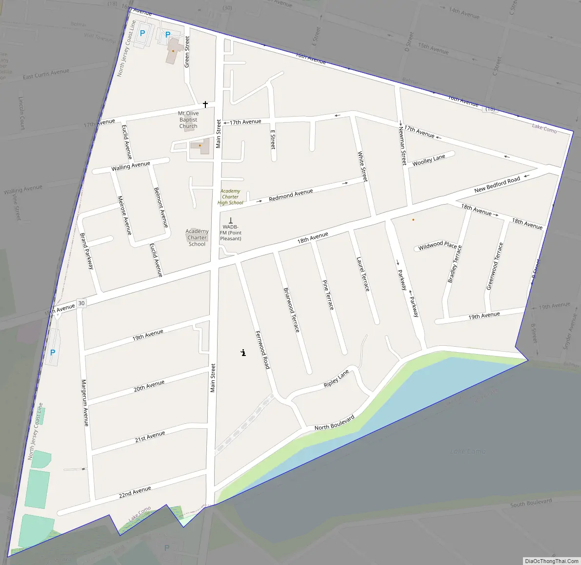
Lake Como Road Map
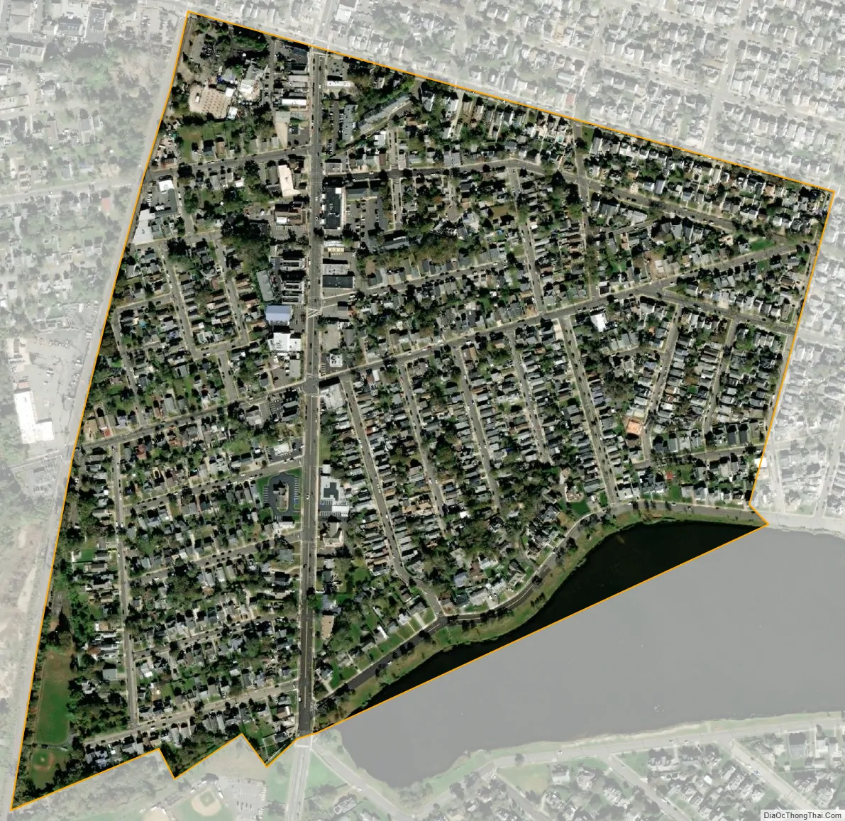
Lake Como city Satellite Map
Geography
According to the United States Census Bureau, the borough had a total area of 0.26 square miles (0.67 km), including 0.25 square miles (0.65 km) of land and 0.01 square miles (0.02 km) of water (3.08%).
The borough borders the Monmouth County communities of Belmar, Spring Lake, Spring Lake Heights and Wall Township.
See also
Map of New Jersey State and its subdivision: Map of other states:- Alabama
- Alaska
- Arizona
- Arkansas
- California
- Colorado
- Connecticut
- Delaware
- District of Columbia
- Florida
- Georgia
- Hawaii
- Idaho
- Illinois
- Indiana
- Iowa
- Kansas
- Kentucky
- Louisiana
- Maine
- Maryland
- Massachusetts
- Michigan
- Minnesota
- Mississippi
- Missouri
- Montana
- Nebraska
- Nevada
- New Hampshire
- New Jersey
- New Mexico
- New York
- North Carolina
- North Dakota
- Ohio
- Oklahoma
- Oregon
- Pennsylvania
- Rhode Island
- South Carolina
- South Dakota
- Tennessee
- Texas
- Utah
- Vermont
- Virginia
- Washington
- West Virginia
- Wisconsin
- Wyoming


