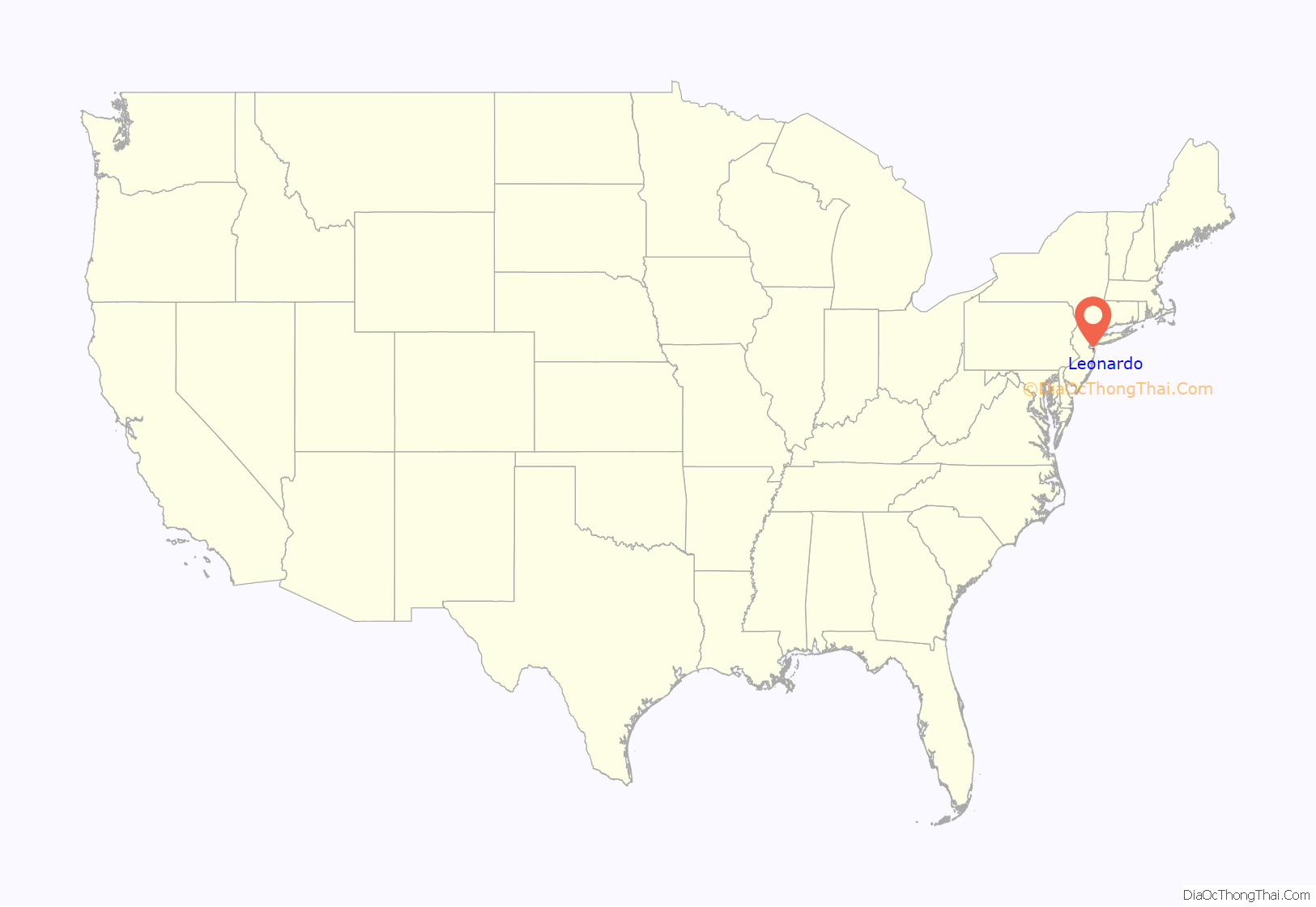
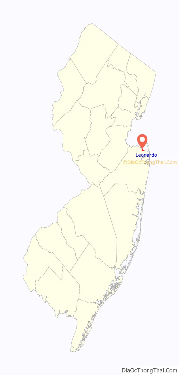
Leonardo is an unincorporated community and census-designated place (CDP) within Middletown Township, in Monmouth County, New Jersey, United States. As of the 2010 United States Census, the CDP’s population was 2,757. The ZIP code for Leonardo is 07737.
| Name: | Leonardo CDP |
|---|---|
| LSAD Code: | 57 |
| LSAD Description: | CDP (suffix) |
| State: | New Jersey |
| County: | Monmouth County |
| Elevation: | 16 ft (5 m) |
| Total Area: | 0.60 sq mi (1.56 km²) |
| Land Area: | 0.59 sq mi (1.54 km²) |
| Water Area: | 0.01 sq mi (0.02 km²) 1.38% |
| Total Population: | 2,549 |
| Population Density: | 4,291.25/sq mi (1,655.60/km²) |
| ZIP code: | 07737 |
| Area code: | 732/848 |
| FIPS code: | 3439990 |
| GNISfeature ID: | 02390059 |
Online Interactive Map
Click on ![]() to view map in "full screen" mode.
to view map in "full screen" mode.
Leonardo location map. Where is Leonardo CDP?
History
Leonardo is named for Henry and James Leonard, the first ironmasters of New Jersey.
During World War II, the large dock complex of Naval Weapons Station Earle was built to supply ammunition to the forces.
Leonardo is known as the site of the only casualties of the US Nike Missile program. On May 22, 1958, an Ajax missile exploded at the Nike missile base in Leonardo, killing six soldiers and four civilians. Since the Project Nike shutdown in 1974, the Leonardo launch base, designated NY-53, has been redeveloped into single-family home sites.
Leonardo Road Map

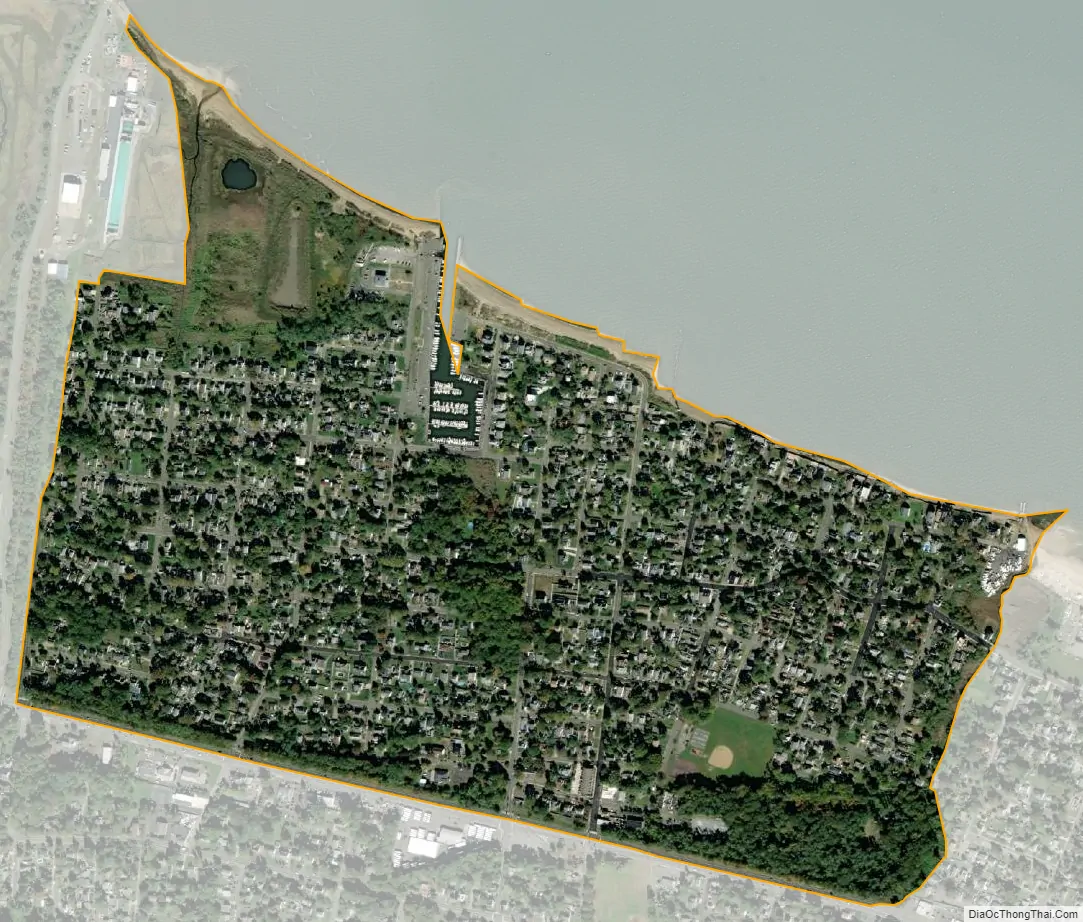
Leonardo city Satellite Map
Geography
Leonardo is located on the south shore of Raritan Bay. According to the United States Census Bureau, Leonardo had a total area of 0.603 square miles (1.562 km), including 0.595 square miles (1.540 km) of land and 0.008 square miles (0.021 km) of water (1.38%).
See also
Map of New Jersey State and its subdivision: Map of other states:- Alabama
- Alaska
- Arizona
- Arkansas
- California
- Colorado
- Connecticut
- Delaware
- District of Columbia
- Florida
- Georgia
- Hawaii
- Idaho
- Illinois
- Indiana
- Iowa
- Kansas
- Kentucky
- Louisiana
- Maine
- Maryland
- Massachusetts
- Michigan
- Minnesota
- Mississippi
- Missouri
- Montana
- Nebraska
- Nevada
- New Hampshire
- New Jersey
- New Mexico
- New York
- North Carolina
- North Dakota
- Ohio
- Oklahoma
- Oregon
- Pennsylvania
- Rhode Island
- South Carolina
- South Dakota
- Tennessee
- Texas
- Utah
- Vermont
- Virginia
- Washington
- West Virginia
- Wisconsin
- Wyoming


