Little Silver is a borough in Monmouth County, in the U.S. state of New Jersey. As of the 2020 United States census, the borough’s population was 6,131, an increase of 181 (+3.0%) from the 2010 census count of 5,950, which in turn reflected a drop of 220 (−3.6%) from the 6,170 counted in the 2000 census.
Little Silver was established with a King’s land grant in 1663 and settled in 1667. Little Silver was incorporated as a borough by an act of the New Jersey Legislature on March 19, 1923, from portions of Shrewsbury Township, based on the results of a referendum held on April 28, 1923.
| Name: | Little Silver borough |
|---|---|
| LSAD Code: | 21 |
| LSAD Description: | borough (suffix) |
| State: | New Jersey |
| County: | Monmouth County |
| Incorporated: | April 28, 1923 |
| Elevation: | 16 ft (5 m) |
| Total Area: | 3.32 sq mi (8.60 km²) |
| Land Area: | 2.71 sq mi (7.02 km²) |
| Water Area: | 0.61 sq mi (1.57 km²) 18.28% |
| Total Population: | 6,131 |
| Population Density: | 2,260.7/sq mi (872.9/km²) |
| ZIP code: | 07739 |
| Area code: | 732 |
| FIPS code: | 3440770 |
| GNISfeature ID: | 0885282 |
| Website: | www.littlesilver.org |
Online Interactive Map
Click on ![]() to view map in "full screen" mode.
to view map in "full screen" mode.
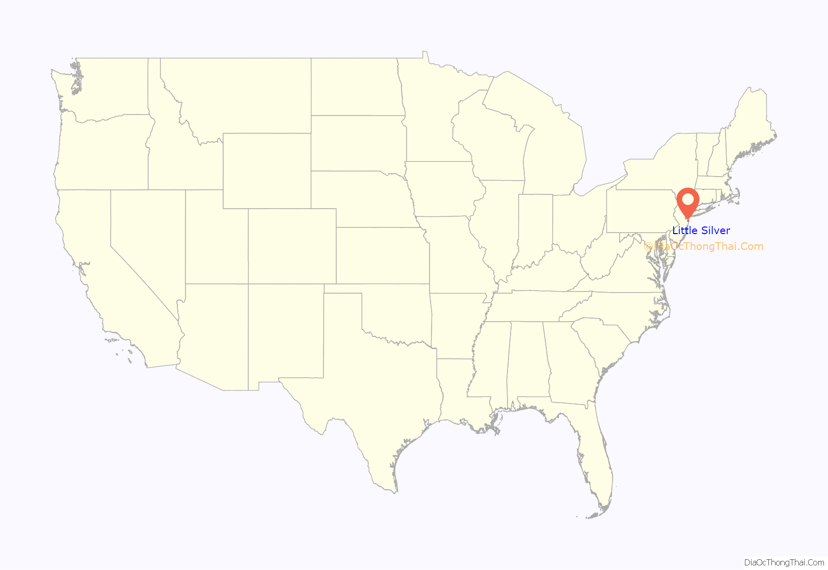
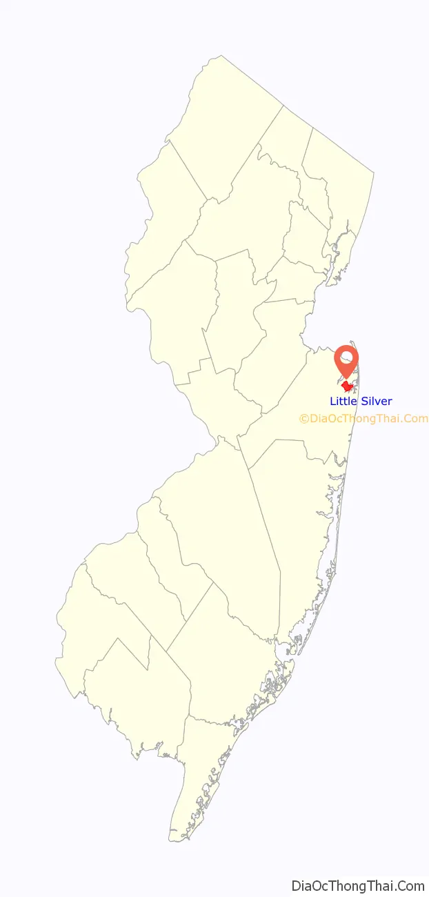
Little Silver location map. Where is Little Silver borough?
History
Prior to the settlement of Europeans, the area that is now Little Silver was inhabited by the Navesink Native Americans.
There are several tales of how Little Silver received its name. In one, brothers Joseph and Peter Parker, who settled in this area in 1667 and owned land bounded by Parker’s Creek on the south and Little Silver Creek on the north, named their holdings “Little Silver” after their father’s (George Parker) estate in Portsmouth, Rhode Island. The original Parker Homestead, dating to 1725 and one of the state’s oldest, was acquired by the borough and is undergoing renovation.
Other explanations for the derivation of the name are the payment to Native Americans for purchase of the land and the placid appearance of the water.
The borough’s earliest European residents were primarily farmers, fishermen and merchants.
Early families and businesses include:
- Parkers – Joseph and Peter Parker originally settled the area, and their original homestead at 235 Rumson Road has been declared a state historic site.
- Sickles – Harold and Elsie Sickles acquired land and opened a wholesale truck farm in 1908. The land was acquired from Harold’s mother who was related to the Parkers. Transitioning from seasonal to year-round in 1998, Sickles Market is today a successful specialty garden and food market.
- Little Silver Bottle Shop – Established in 1944, the iconic wine & spirits shop is the oldest continually running retail business in the borough.
John T. Lovett owned a nursery that once covered almost half the borough, supplying large catalog houses such as Sears Roebuck, Macy’s and Newberry’s. In 1878 he circulated a petition to the community recommending that the name be revised and on July 30, 1879, the Post Office name was changed from “Parkersville” to “Little Silver”.
The borough has had a varied history as a resort, agricultural area and fishing town. Today, the municipality is primarily residential with a range of housing types, from ranches and capes.
Little Silver separated from Shrewsbury Township in 1923. Since then, farms and nurseries have been replaced by housing. Over the years, New York City and North Jersey commuters have made Little Silver their home, traveling by rail or auto to their jobs. The Little Silver train station on Sycamore Avenue was designed by the noted American architect Henry Hobson Richardson and built in 1890. It reopened after renovations in 2003.
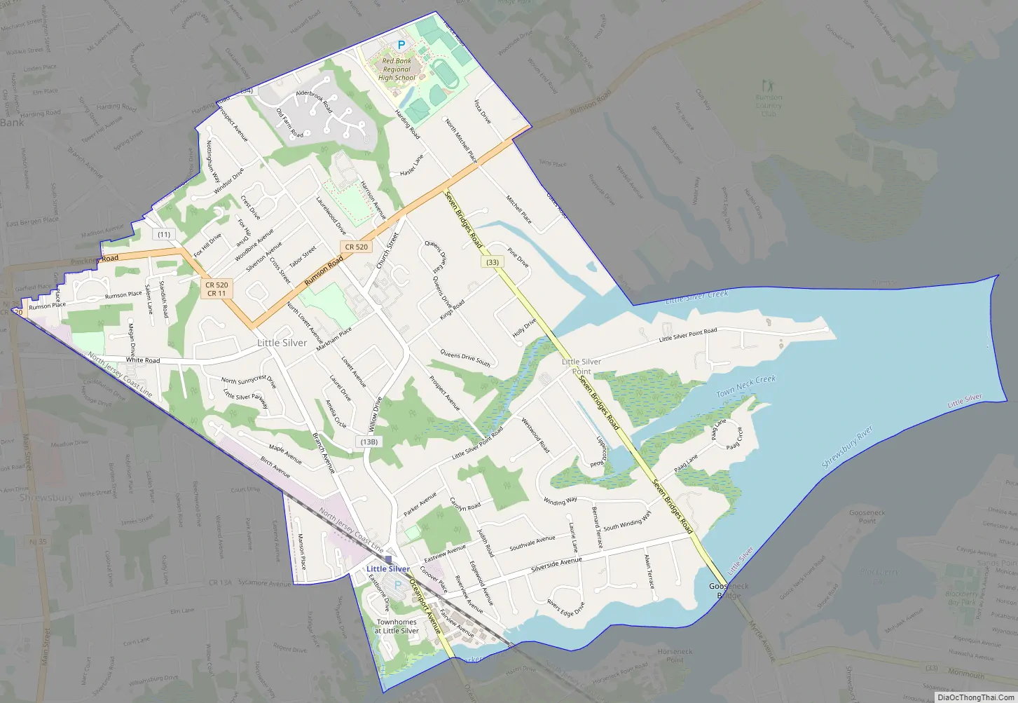
Little Silver Road Map
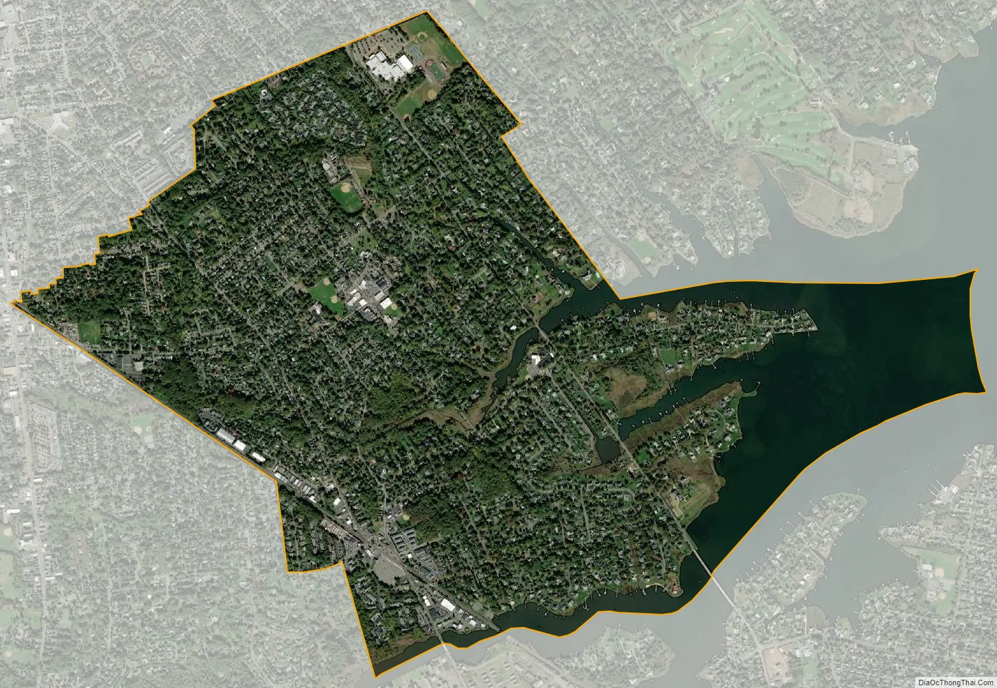
Little Silver city Satellite Map
Geography
According to the United States Census Bureau, the borough had a total area of 3.32 square miles (8.60 km), including 2.71 square miles (7.02 km) of land and 0.61 square miles (1.57 km) of water (18.28%).
The original farms and nurseries have almost all been replaced by housing today. Little Silver’s location on the Shrewsbury River makes it a popular destination for boaters and water sports enthusiasts, with a public boat ramp at the Dominick F. Santelle Park off Riverview Avenue. Approximately 8% of the homes are directly on the Shrewsbury River and another third of homes are on streams that connect to it.
The borough borders the Monmouth County municipalities of Fair Haven, Monmouth Beach, Oceanport, Red Bank, Rumson and Shrewsbury Borough.
Little Silver Point is an unincorporated community located within Little Silver.
See also
Map of New Jersey State and its subdivision: Map of other states:- Alabama
- Alaska
- Arizona
- Arkansas
- California
- Colorado
- Connecticut
- Delaware
- District of Columbia
- Florida
- Georgia
- Hawaii
- Idaho
- Illinois
- Indiana
- Iowa
- Kansas
- Kentucky
- Louisiana
- Maine
- Maryland
- Massachusetts
- Michigan
- Minnesota
- Mississippi
- Missouri
- Montana
- Nebraska
- Nevada
- New Hampshire
- New Jersey
- New Mexico
- New York
- North Carolina
- North Dakota
- Ohio
- Oklahoma
- Oregon
- Pennsylvania
- Rhode Island
- South Carolina
- South Dakota
- Tennessee
- Texas
- Utah
- Vermont
- Virginia
- Washington
- West Virginia
- Wisconsin
- Wyoming


