Manahawkin is an unincorporated community and census-designated place (CDP) located within Stafford Township, in Ocean County, New Jersey, United States. As of the 2010 United States Census, the CDP’s population was 2,303. Manahawkin has been thought to be a Lenape word meaning “land of good corn”, although this has been disputed by recent scholars claiming that it translates to “fertile land sloping into the water.”
Manahawkin is the gateway to the resort communities on Long Beach Island, with Route 72 providing the sole road access, ending in Ship Bottom as it crosses Manahawkin Bay via the Manahawkin Bay Bridge (formally known as the Dorland J. Henderson Memorial Bridge).
| Name: | Manahawkin CDP |
|---|---|
| LSAD Code: | 57 |
| LSAD Description: | CDP (suffix) |
| State: | New Jersey |
| County: | Ocean County |
| Elevation: | 23 ft (7 m) |
| Total Area: | 1.94 sq mi (5.03 km²) |
| Land Area: | 1.84 sq mi (4.78 km²) |
| Water Area: | 0.10 sq mi (0.25 km²) 4.98% |
| Total Population: | 2,413 |
| Population Density: | 1,307.86/sq mi (505.09/km²) |
| ZIP code: | 08050 |
| Area code: | 609 |
| FIPS code: | 3442930 |
| GNISfeature ID: | 02390114 |
Online Interactive Map
Click on ![]() to view map in "full screen" mode.
to view map in "full screen" mode.
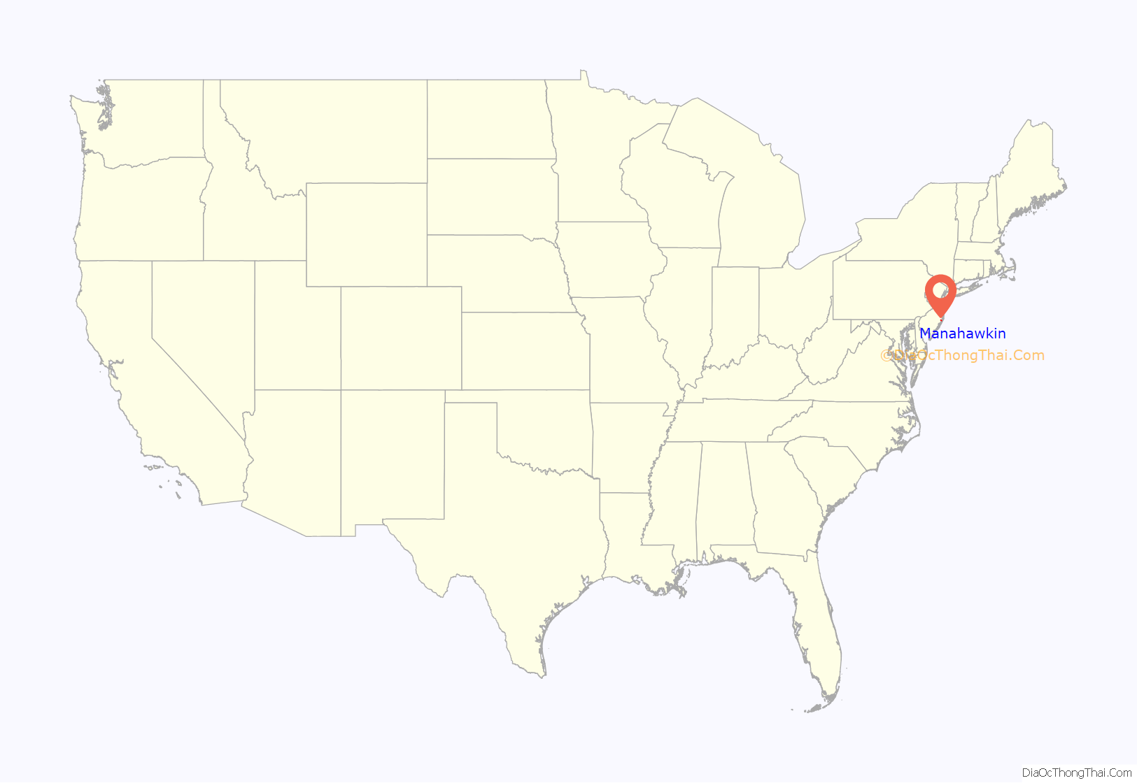
Manahawkin location map. Where is Manahawkin CDP?

Manahawkin Road Map

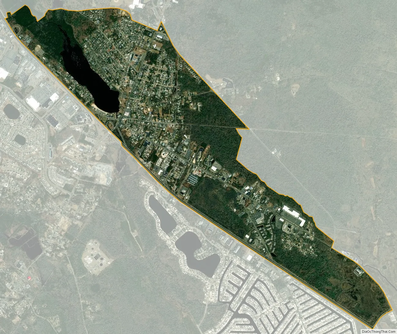
Manahawkin city Satellite Map
Geography
According to the United States Census Bureau, the CDP had a total area of 1.922 square miles (4.979 km), including 1.827 square miles (4.731 km) of it is land and 0.096 square miles (0.248 km) of water (4.98%) is water.
See also
Map of New Jersey State and its subdivision: Map of other states:- Alabama
- Alaska
- Arizona
- Arkansas
- California
- Colorado
- Connecticut
- Delaware
- District of Columbia
- Florida
- Georgia
- Hawaii
- Idaho
- Illinois
- Indiana
- Iowa
- Kansas
- Kentucky
- Louisiana
- Maine
- Maryland
- Massachusetts
- Michigan
- Minnesota
- Mississippi
- Missouri
- Montana
- Nebraska
- Nevada
- New Hampshire
- New Jersey
- New Mexico
- New York
- North Carolina
- North Dakota
- Ohio
- Oklahoma
- Oregon
- Pennsylvania
- Rhode Island
- South Carolina
- South Dakota
- Tennessee
- Texas
- Utah
- Vermont
- Virginia
- Washington
- West Virginia
- Wisconsin
- Wyoming


